104 results

English Field Notes of the Spanish Archives - Books J.S.2, 3, and 4
96550, English Field Notes of the Spanish Archives - Books J.S.2, 3, and 4, Historical Volumes

English Field Notes of the Spanish Archives - Books J.S.2, 3, and 4

1835

96550
General Highway Map, Rains County, Wood County, Texas
79223.tif
Print $20.00

General Highway Map, Rains County, Wood County, Texas

1939

Size: 18.2 x 24.8 inches
79223
General Highway Map, Wood County, Texas
79718.tif
Print $20.00

General Highway Map, Wood County, Texas

1961
Size: 18.1 x 24.8 inches
79718
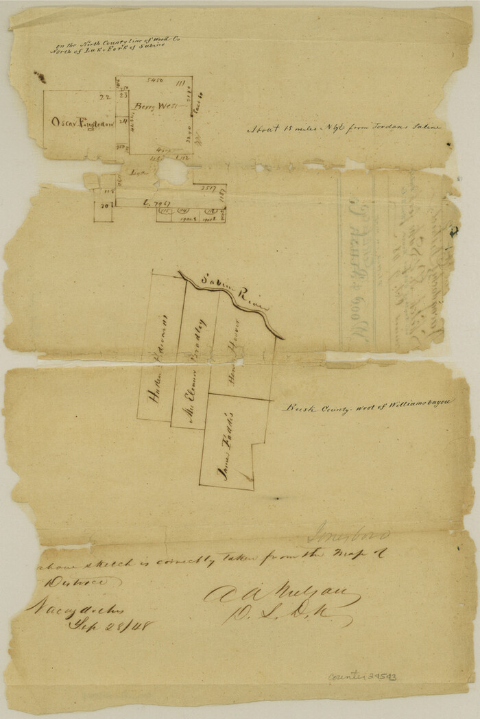
Gregg County Sketch File 1D
24543, Gregg County Sketch File 1D, General Map Collection
Print $4.00 - Digital $50.00

Gregg County Sketch File 1D

1848

Size: 12.7 x 8.5 inches
24543
Hopkins County Sketch File 15
26711, Hopkins County Sketch File 15, General Map Collection
Print $4.00 - Digital $50.00

Hopkins County Sketch File 15

Size: 10.6 x 7.3 inches
26711
Hopkins County Sketch File 19
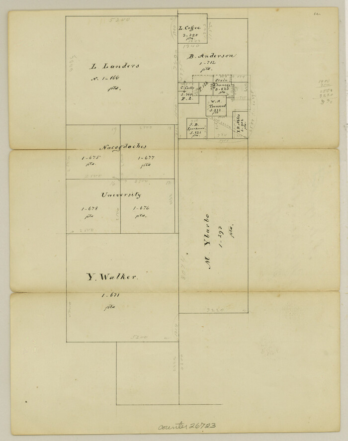
26723, Hopkins County Sketch File 19, General Map Collection
Print $4.00 - Digital $50.00

Hopkins County Sketch File 19

1870

Size: 10.2 x 8.0 inches
26723
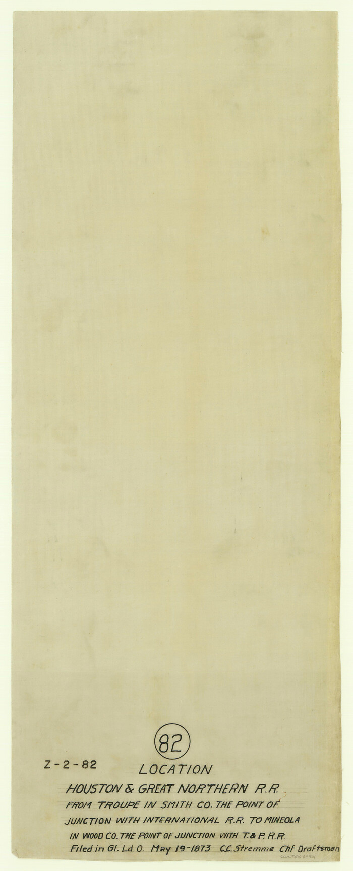
Houston & Great Northern R.R. from Troupe in Smith Co. the point of junction with International R.R. to Mineola in Wood Co. the point of junction with T. & P. R.R.
64301, Houston & Great Northern R.R. from Troupe in Smith Co. the point of junction with International R.R. to Mineola in Wood Co. the point of junction with T. & P. R.R., General Map Collection
Print $22.00 - Digital $50.00

Houston & Great Northern R.R. from Troupe in Smith Co. the point of junction with International R.R. to Mineola in Wood Co. the point of junction with T. & P. R.R.

1873

Size: 21.2 x 8.6 inches
64301
Hunt County Sketch File 8
27097, Hunt County Sketch File 8, General Map Collection
Print $4.00 - Digital $50.00

Hunt County Sketch File 8

1848

Size: 8.2 x 12.7 inches
27097
Kaufman County Sketch File 7
28636, Kaufman County Sketch File 7, General Map Collection
Print $5.00 - Digital $50.00

Kaufman County Sketch File 7

1847

Size: 8.3 x 10.1 inches
28636
Map of Rains County, Texas
0541.tif
Print $3.00 - Digital $50.00

Map of Rains County, Texas

1880

Size: 11.7 x 12.0 inches
541
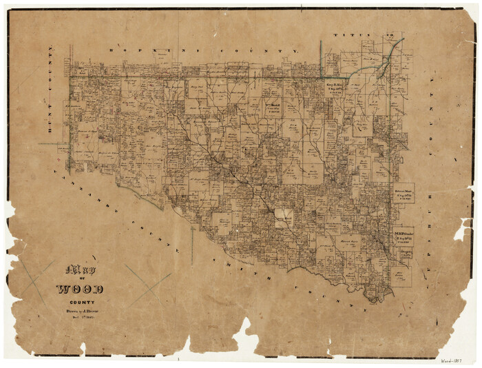
Map of Wood County
4165-1.tif
Print $20.00 - Digital $50.00

Map of Wood County

1857

Size: 22.5 x 29.1 inches
4165
Map of Wood County
4167.tif
Print $20.00 - Digital $50.00

Map of Wood County

1872

Size: 15.6 x 16.8 inches
4167
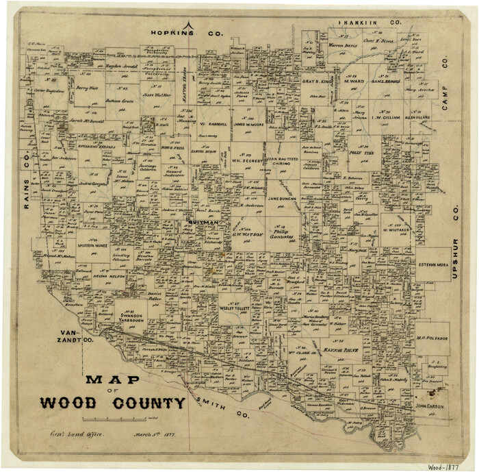
Map of Wood County
4168.tif
Print $20.00 - Digital $50.00

Map of Wood County

1877

Size: 16.8 x 17.1 inches
4168
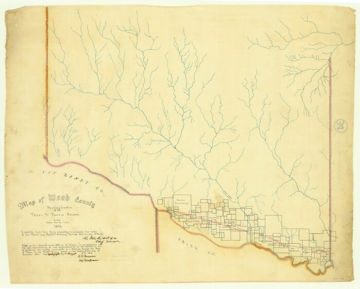
Map of Wood County Showing Location of the Texas and Pacific Railway
64135.tif
Print $20.00 - Digital $50.00

Map of Wood County Showing Location of the Texas and Pacific Railway

1872

Size: 19.1 x 23.8 inches
64135
Map of Wood County, Texas
659.tif
Print $20.00 - Digital $50.00

Map of Wood County, Texas

1879

Size: 17.5 x 17.1 inches
659
Map of the Houston and G. N. R.R. and lands adjacent, from Troupe to the Texas Pacific R.R.
64627.tif
Print $40.00 - Digital $50.00

Map of the Houston and G. N. R.R. and lands adjacent, from Troupe to the Texas Pacific R.R.

Size: 21.2 x 92.0 inches
64627
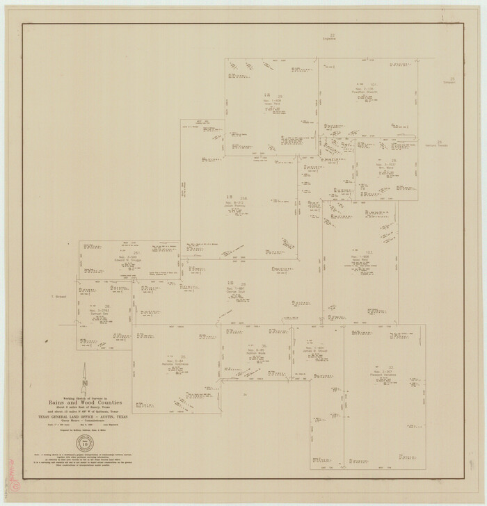
Nacogdoches County Sketch File 16
42155, Nacogdoches County Sketch File 16, General Map Collection
Print $20.00 - Digital $50.00

Nacogdoches County Sketch File 16

1945
Size: 24.6 x 18.5 inches
42155
Red River, Water-Shed of Cypress Creek in Texas Drainage Area
65057.tif
Print $4.00 - Digital $50.00

Red River, Water-Shed of Cypress Creek in Texas Drainage Area

1925

Size: 16.3 x 19.2 inches
65057
Right of Way and Track Map of The Missouri, Kansas & Texas Railway of Texas
64533.tif
Print $40.00 - Digital $50.00

Right of Way and Track Map of The Missouri, Kansas & Texas Railway of Texas

1918
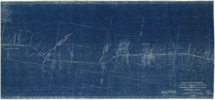
Size: 25.4 x 75.5 inches
64533
Right of Way and Track Map of The Missouri, Kansas & Texas Railway of Texas
64534-1.tif
Print $40.00 - Digital $50.00

Right of Way and Track Map of The Missouri, Kansas & Texas Railway of Texas

1918

Size: 24.8 x 53.4 inches
64534
Right of Way and Track Map of The Missouri, Kansas & Texas Railway of Texas
64535.tif
Print $40.00 - Digital $50.00

Right of Way and Track Map of The Missouri, Kansas & Texas Railway of Texas

1918
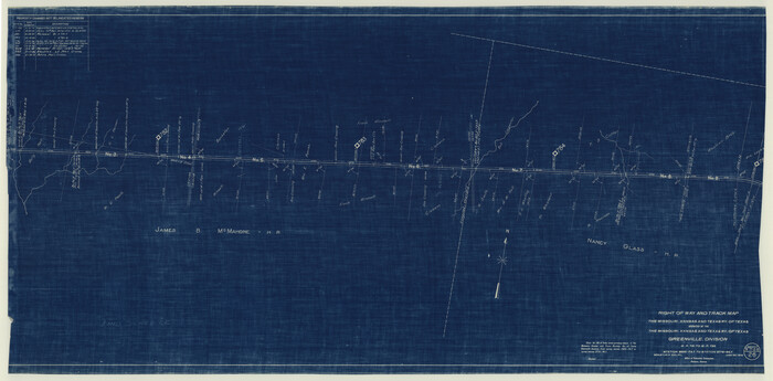
Size: 24.9 x 51.6 inches
64535
Right of Way and Track Map of The Missouri, Kansas & Texas Railway of Texas
64536.tif
Print $40.00 - Digital $50.00

Right of Way and Track Map of The Missouri, Kansas & Texas Railway of Texas

1918
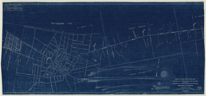
Size: 25.0 x 50.7 inches
64536
Right of Way and Track Map of The Missouri, Kansas & Texas Railway of Texas
64537.tif
Print $40.00 - Digital $50.00

Right of Way and Track Map of The Missouri, Kansas & Texas Railway of Texas

1918

Size: 24.9 x 53.1 inches
64537
Right of Way and Track Map, International & Gt. Northern Ry. operated by the International & Gt. Northern Ry. Co. Gulf Division, Mineola Branch
64700.tif
Print $40.00 - Digital $50.00

Right of Way and Track Map, International & Gt. Northern Ry. operated by the International & Gt. Northern Ry. Co. Gulf Division, Mineola Branch

1917

Size: 26.3 x 125.4 inches
64700
Sabine River, Watershed of the Sabine and Neches Rivers
65132.tif
Print $20.00 - Digital $50.00

Sabine River, Watershed of the Sabine and Neches Rivers

Size: 39.5 x 36.0 inches
65132
Smith County Rolled Sketch 6E2
10613-1.tif
Print $20.00 - Digital $50.00

Smith County Rolled Sketch 6E2

1960

Size: 27.6 x 22.7 inches
10613
Texas & Pacific Railway, Longview to Dallas
64099.tif
Print $40.00 - Digital $50.00

Texas & Pacific Railway, Longview to Dallas

1873

Size: 14.8 x 100.8 inches
64099
Upshur County Sketch File 19
Print $40.00 - Digital $50.00

Upshur County Sketch File 19

Size: 17.9 x 22.2 inches
12507
Upshur County Sketch File 6
38742, Upshur County Sketch File 6, General Map Collection
Print $4.00 - Digital $50.00

Upshur County Sketch File 6

1855

Size: 8.7 x 13.0 inches
38742
Wood Co.
16933.tif
Print $20.00 - Digital $50.00

Wood Co.

1895

Size: 33.7 x 34.1 inches
16933
English Field Notes of the Spanish Archives - Books J.S.2, 3, and 4
96550, English Field Notes of the Spanish Archives - Books J.S.2, 3, and 4, Historical Volumes

English Field Notes of the Spanish Archives - Books J.S.2, 3, and 4

1835

  • Map/Doc

    96550

  • Creation Date

    1835

General Highway Map, Rains County, Wood County, Texas
79223, General Highway Map, Rains County, Wood County, Texas, Texas State Library and Archives
Print $20.00

General Highway Map, Rains County, Wood County, Texas

1939

  • Size

    18.2 x 24.8 inches

  • Map/Doc

    79223

  • Creation Date

    1939

General Highway Map, Wood County, Texas
79718, General Highway Map, Wood County, Texas, Texas State Library and Archives
Print $20.00

General Highway Map, Wood County, Texas

1961

  • Size

    18.1 x 24.8 inches

  • Map/Doc

    79718

  • Creation Date

    1961

Gregg County Sketch File 1D
24543, Gregg County Sketch File 1D, General Map Collection
Print $4.00 - Digital $50.00

Gregg County Sketch File 1D

1848

  • Size

    12.7 x 8.5 inches

  • Map/Doc

    24543

  • Creation Date

    1848

Hopkins County Sketch File 15
26711, Hopkins County Sketch File 15, General Map Collection
Print $4.00 - Digital $50.00

Hopkins County Sketch File 15

  • Size

    10.6 x 7.3 inches

  • Map/Doc

    26711

Hopkins County Sketch File 19
26723, Hopkins County Sketch File 19, General Map Collection
Print $4.00 - Digital $50.00

Hopkins County Sketch File 19

1870

  • Size

    10.2 x 8.0 inches

  • Map/Doc

    26723

  • Creation Date

    1870

Houston & Great Northern R.R. from Troupe in Smith Co. the point of junction with International R.R. to Mineola in Wood Co. the point of junction with T. & P. R.R.
64301, Houston & Great Northern R.R. from Troupe in Smith Co. the point of junction with International R.R. to Mineola in Wood Co. the point of junction with T. & P. R.R., General Map Collection
Print $22.00 - Digital $50.00

Houston & Great Northern R.R. from Troupe in Smith Co. the point of junction with International R.R. to Mineola in Wood Co. the point of junction with T. & P. R.R.

1873

  • Size

    21.2 x 8.6 inches

  • Map/Doc

    64301

  • Creation Date

    1873

Hunt County Sketch File 8
27097, Hunt County Sketch File 8, General Map Collection
Print $4.00 - Digital $50.00

Hunt County Sketch File 8

1848

  • Size

    8.2 x 12.7 inches

  • Map/Doc

    27097

  • Creation Date

    1848

Kaufman County Sketch File 7
28636, Kaufman County Sketch File 7, General Map Collection
Print $5.00 - Digital $50.00

Kaufman County Sketch File 7

1847

  • Size

    8.3 x 10.1 inches

  • Map/Doc

    28636

  • Creation Date

    1847

Map of Rains County, Texas
541, Map of Rains County, Texas, Maddox Collection
Print $3.00 - Digital $50.00

Map of Rains County, Texas

1880

  • Size

    11.7 x 12.0 inches

  • Map/Doc

    541

  • Creation Date

    1880

Map of Wood County
4165, Map of Wood County, General Map Collection
Print $20.00 - Digital $50.00

Map of Wood County

1857

  • Size

    22.5 x 29.1 inches

  • Map/Doc

    4165

  • Creation Date

    1857

Map of Wood County
4167, Map of Wood County, General Map Collection
Print $20.00 - Digital $50.00

Map of Wood County

1872

  • Size

    15.6 x 16.8 inches

  • Map/Doc

    4167

  • Creation Date

    1872

Map of Wood County
4168, Map of Wood County, General Map Collection
Print $20.00 - Digital $50.00

Map of Wood County

1877

  • Size

    16.8 x 17.1 inches

  • Map/Doc

    4168

  • Creation Date

    1877

Map of Wood County Showing Location of the Texas and Pacific Railway
64135, Map of Wood County Showing Location of the Texas and Pacific Railway, General Map Collection
Print $20.00 - Digital $50.00

Map of Wood County Showing Location of the Texas and Pacific Railway

1872

  • Size

    19.1 x 23.8 inches

  • Map/Doc

    64135

  • Creation Date

    1872

Map of Wood County, Texas
659, Map of Wood County, Texas, Maddox Collection
Print $20.00 - Digital $50.00

Map of Wood County, Texas

1879

  • Size

    17.5 x 17.1 inches

  • Map/Doc

    659

  • Creation Date

    1879

Map of the Houston and G. N. R.R. and lands adjacent, from Troupe to the Texas Pacific R.R.
64627, Map of the Houston and G. N. R.R. and lands adjacent, from Troupe to the Texas Pacific R.R., General Map Collection
Print $40.00 - Digital $50.00

Map of the Houston and G. N. R.R. and lands adjacent, from Troupe to the Texas Pacific R.R.

  • Size

    21.2 x 92.0 inches

  • Map/Doc

    64627

Nacogdoches County Sketch File 16
42155, Nacogdoches County Sketch File 16, General Map Collection
Print $20.00 - Digital $50.00

Nacogdoches County Sketch File 16

1945

  • Size

    24.6 x 18.5 inches

  • Map/Doc

    42155

  • Creation Date

    1945

Red River, Water-Shed of Cypress Creek in Texas Drainage Area
65057, Red River, Water-Shed of Cypress Creek in Texas Drainage Area, General Map Collection
Print $4.00 - Digital $50.00

Red River, Water-Shed of Cypress Creek in Texas Drainage Area

1925

  • Size

    16.3 x 19.2 inches

  • Map/Doc

    65057

  • Creation Date

    1925

Right of Way and Track Map of The Missouri, Kansas & Texas Railway of Texas
64533, Right of Way and Track Map of The Missouri, Kansas & Texas Railway of Texas, General Map Collection
Print $40.00 - Digital $50.00

Right of Way and Track Map of The Missouri, Kansas & Texas Railway of Texas

1918

  • Size

    25.4 x 75.5 inches

  • Map/Doc

    64533

  • Creation Date

    1918

Right of Way and Track Map of The Missouri, Kansas & Texas Railway of Texas
64534, Right of Way and Track Map of The Missouri, Kansas & Texas Railway of Texas, General Map Collection
Print $40.00 - Digital $50.00

Right of Way and Track Map of The Missouri, Kansas & Texas Railway of Texas

1918

  • Size

    24.8 x 53.4 inches

  • Map/Doc

    64534

  • Creation Date

    1918

Right of Way and Track Map of The Missouri, Kansas & Texas Railway of Texas
64535, Right of Way and Track Map of The Missouri, Kansas & Texas Railway of Texas, General Map Collection
Print $40.00 - Digital $50.00

Right of Way and Track Map of The Missouri, Kansas & Texas Railway of Texas

1918

  • Size

    24.9 x 51.6 inches

  • Map/Doc

    64535

  • Creation Date

    1918

Right of Way and Track Map of The Missouri, Kansas & Texas Railway of Texas
64536, Right of Way and Track Map of The Missouri, Kansas & Texas Railway of Texas, General Map Collection
Print $40.00 - Digital $50.00

Right of Way and Track Map of The Missouri, Kansas & Texas Railway of Texas

1918

  • Size

    25.0 x 50.7 inches

  • Map/Doc

    64536

  • Creation Date

    1918

Right of Way and Track Map of The Missouri, Kansas & Texas Railway of Texas
64537, Right of Way and Track Map of The Missouri, Kansas & Texas Railway of Texas, General Map Collection
Print $40.00 - Digital $50.00

Right of Way and Track Map of The Missouri, Kansas & Texas Railway of Texas

1918

  • Size

    24.9 x 53.1 inches

  • Map/Doc

    64537

  • Creation Date

    1918

Right of Way and Track Map, International & Gt. Northern Ry. operated by the International & Gt. Northern Ry. Co. Gulf Division, Mineola Branch
64700, Right of Way and Track Map, International & Gt. Northern Ry. operated by the International & Gt. Northern Ry. Co. Gulf Division, Mineola Branch, General Map Collection
Print $40.00 - Digital $50.00

Right of Way and Track Map, International & Gt. Northern Ry. operated by the International & Gt. Northern Ry. Co. Gulf Division, Mineola Branch

1917

  • Size

    26.3 x 125.4 inches

  • Map/Doc

    64700

  • Creation Date

    1917

Sabine River, Watershed of the Sabine and Neches Rivers
65132, Sabine River, Watershed of the Sabine and Neches Rivers, General Map Collection
Print $20.00 - Digital $50.00

Sabine River, Watershed of the Sabine and Neches Rivers

  • Size

    39.5 x 36.0 inches

  • Map/Doc

    65132

Smith County Rolled Sketch 6E2
10613, Smith County Rolled Sketch 6E2, General Map Collection
Print $20.00 - Digital $50.00

Smith County Rolled Sketch 6E2

1960

  • Size

    27.6 x 22.7 inches

  • Map/Doc

    10613

  • Creation Date

    1960

Texas & Pacific Railway, Longview to Dallas
64099, Texas & Pacific Railway, Longview to Dallas, General Map Collection
Print $40.00 - Digital $50.00

Texas & Pacific Railway, Longview to Dallas

1873

  • Size

    14.8 x 100.8 inches

  • Map/Doc

    64099

  • Creation Date

    1873

Upshur County Sketch File 19
Print $40.00 - Digital $50.00

Upshur County Sketch File 19

  • Size

    17.9 x 22.2 inches

  • Map/Doc

    12507

Upshur County Sketch File 6
38742, Upshur County Sketch File 6, General Map Collection
Print $4.00 - Digital $50.00

Upshur County Sketch File 6

1855

  • Size

    8.7 x 13.0 inches

  • Map/Doc

    38742

  • Creation Date

    1855

Wood Co.
16933, Wood Co., General Map Collection
Print $20.00 - Digital $50.00

Wood Co.

1895

  • Size

    33.7 x 34.1 inches

  • Map/Doc

    16933

  • Creation Date

    1895