134 results

Young County Rolled Sketch 19
97023.tif
Print $20.00 - Digital $50.00

Young County Rolled Sketch 19

2021

Size: 24.3 x 30.4 inches
97023
Young County Rolled Sketch 18
95960.tif
Print $20.00 - Digital $50.00

Young County Rolled Sketch 18

2020

Size: 22.6 x 30.4 inches
95960
Young County Rolled Sketch 17
8305.tif
Print $20.00 - Digital $50.00

Young County Rolled Sketch 17

1984

Size: 17.5 x 24.0 inches
8305
Young County Rolled Sketch 16
8304.tif
Print $20.00 - Digital $50.00

Young County Rolled Sketch 16

1982

Size: 19.1 x 31.3 inches
8304
Young County Rolled Sketch 14
8302.tif
Print $20.00 - Digital $50.00

Young County Rolled Sketch 14

1967

Size: 17.7 x 22.7 inches
8302
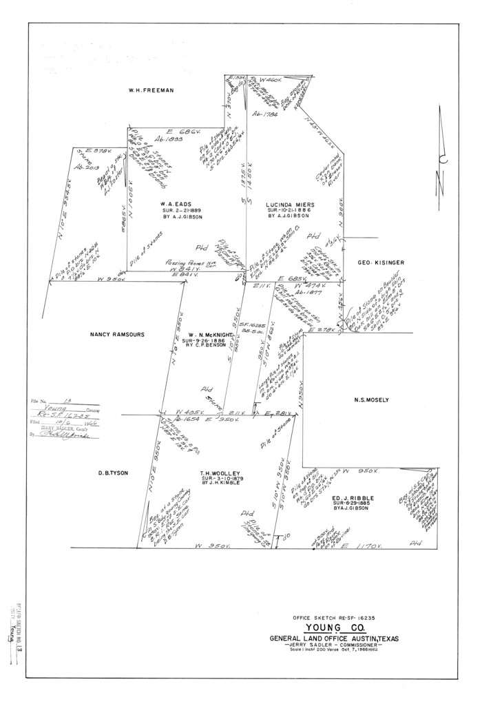
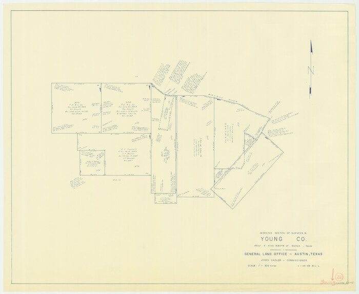
Young County Rolled Sketch 13
8301.tif
Print $20.00 - Digital $50.00

Young County Rolled Sketch 13

1966

Size: 24.8 x 16.9 inches
8301
General Highway Map, Young County, Texas
79720-1.tif
Print $20.00

General Highway Map, Young County, Texas

1961

Size: 18.3 x 24.8 inches
79720
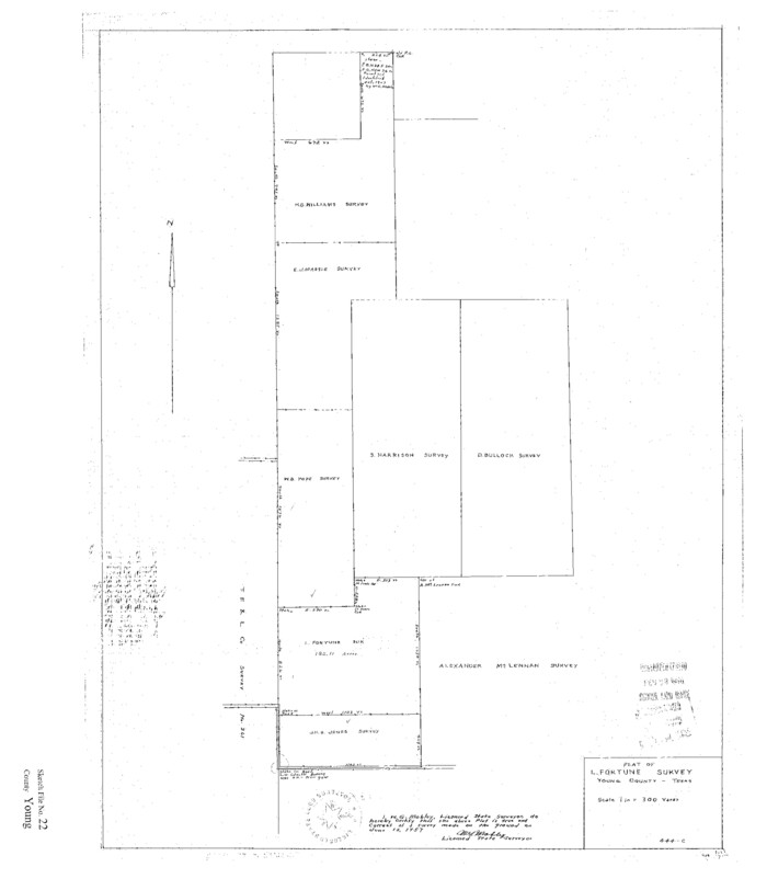
Young County Sketch File 22
12716, Young County Sketch File 22, General Map Collection
Print $20.00 - Digital $50.00

Young County Sketch File 22

1957

Size: 22.9 x 19.8 inches
12716
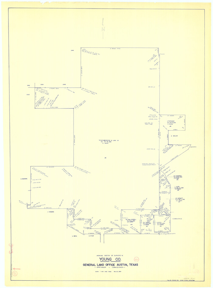
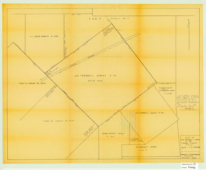
Young County Sketch File 21
12715, Young County Sketch File 21, General Map Collection
Print $20.00 - Digital $50.00

Young County Sketch File 21

1954

Size: 19.0 x 23.0 inches
12715
Right of Way and Track Map, The Wichita Falls & Southern Railway
64512.tif
Print $40.00 - Digital $50.00

Right of Way and Track Map, The Wichita Falls & Southern Railway

1942

Size: 25.0 x 121.0 inches
64512
Right of Way and Track Map, The Wichita Falls & Southern Railway
64513.tif
Print $40.00 - Digital $50.00

Right of Way and Track Map, The Wichita Falls & Southern Railway

1942

Size: 25.5 x 92.5 inches
64513
Right of Way Track Map, Wichita Falls & Southern Railroad Company
64514.tif
Print $40.00 - Digital $50.00

Right of Way Track Map, Wichita Falls & Southern Railroad Company

1942

Size: 24.5 x 56.1 inches
64514
Right of Way and Track Map of The Wichita Falls & Southern Railroad Company
64515.tif
Print $40.00 - Digital $50.00

Right of Way and Track Map of The Wichita Falls & Southern Railroad Company

1942

Size: 24.4 x 56.4 inches
64515
Right of Way and Track Map of The Wichita Falls & Southern Railroad Company
64516.tif
Print $40.00 - Digital $50.00

Right of Way and Track Map of The Wichita Falls & Southern Railroad Company

1942

Size: 24.6 x 56.1 inches
64516
Right of Way and Track Map of The Wichita Falls & Southern Railroad Company
64517.tif
Print $40.00 - Digital $50.00

Right of Way and Track Map of The Wichita Falls & Southern Railroad Company

1942

Size: 24.5 x 56.3 inches
64517
Right of Way and Track Map of The Wichita Falls & Southern Railroad Company
64518.tif
Print $40.00 - Digital $50.00

Right of Way and Track Map of The Wichita Falls & Southern Railroad Company

1942

Size: 24.6 x 56.1 inches
64518
Right of Way and Track Map of The Wichita Falls & Southern Railroad Company
64519.tif
Print $40.00 - Digital $50.00

Right of Way and Track Map of The Wichita Falls & Southern Railroad Company

1942

Size: 24.6 x 56.1 inches
64519
Right of Way and Track Map of The Wichita Falls & Southern Railroad Company
64520.tif
Print $40.00 - Digital $50.00

Right of Way and Track Map of The Wichita Falls & Southern Railroad Company

1942

Size: 25.0 x 56.2 inches
64520
Right of Way and Track Map of The Wichita Falls & Southern Railroad Company
64521.tif
Print $40.00 - Digital $50.00

Right of Way and Track Map of The Wichita Falls & Southern Railroad Company

1942

Size: 24.7 x 56.3 inches
64521
Young County
63142.tif
Print $20.00 - Digital $50.00

Young County

1941

Size: 47.6 x 40.5 inches
63142
Young County
73332.tif
Print $20.00 - Digital $50.00

Young County

1941

Size: 47.2 x 40.0 inches
73332
Young County Working Sketch Graphic Index
76748.tif
Print $20.00 - Digital $50.00

Young County Working Sketch Graphic Index

1941

Size: 44.1 x 38.4 inches
76748
Young County
77466-1.tif
Print $20.00 - Digital $50.00

Young County

1941

Size: 42.9 x 37.9 inches
77466
Young County
95682-2.tif
Print $20.00 - Digital $50.00

Young County

1941

Size: 47.6 x 39.9 inches
95682
General Highway Map, Young County, Texas
79286-1.tif
Print $20.00

General Highway Map, Young County, Texas

1940

Size: 18.4 x 24.8 inches
79286
Young County Sketch File 18
40882, Young County Sketch File 18, General Map Collection
Print $10.00 - Digital $50.00

Young County Sketch File 18

1929

Size: 11.5 x 8.7 inches
40882
Young County Sketch File 20
12714, Young County Sketch File 20, General Map Collection
Print $20.00 - Digital $50.00

Young County Sketch File 20

1922

Size: 27.4 x 23.9 inches
12714
Young County Rolled Sketch 10
8298-1.tif
Print $20.00 - Digital $50.00

Young County Rolled Sketch 10

1921

Size: 27.3 x 40.1 inches
8298
Young County Rolled Sketch 9
8297-1.tif
Print $20.00 - Digital $50.00

Young County Rolled Sketch 9

1921

Size: 24.0 x 22.6 inches
8297
Plat Showing Proposed Dam & Reservoir Under Application No. 561 Located at Mouth of Clear Fork of Brazos River
92094-1.tif
Print $20.00 - Digital $50.00

Plat Showing Proposed Dam & Reservoir Under Application No. 561 Located at Mouth of Clear Fork of Brazos River

1921

Size: 24.0 x 16.6 inches
92094
Young County Rolled Sketch 19
Print $20.00 - Digital $50.00

Young County Rolled Sketch 19

2021

  • Size

    24.3 x 30.4 inches

  • Map/Doc

    97023

  • Creation Date

    2021

Young County Rolled Sketch 18
95960, Young County Rolled Sketch 18, General Map Collection
Print $20.00 - Digital $50.00

Young County Rolled Sketch 18

2020

  • Size

    22.6 x 30.4 inches

  • Map/Doc

    95960

  • Creation Date

    2020

Young County Rolled Sketch 17
8305, Young County Rolled Sketch 17, General Map Collection
Print $20.00 - Digital $50.00

Young County Rolled Sketch 17

1984

  • Size

    17.5 x 24.0 inches

  • Map/Doc

    8305

  • Creation Date

    1984

Young County Rolled Sketch 16
8304, Young County Rolled Sketch 16, General Map Collection
Print $20.00 - Digital $50.00

Young County Rolled Sketch 16

1982

  • Size

    19.1 x 31.3 inches

  • Map/Doc

    8304

  • Creation Date

    1982

Young County Rolled Sketch 14
8302, Young County Rolled Sketch 14, General Map Collection
Print $20.00 - Digital $50.00

Young County Rolled Sketch 14

1967

  • Size

    17.7 x 22.7 inches

  • Map/Doc

    8302

  • Creation Date

    1967

Young County Rolled Sketch 13
8301, Young County Rolled Sketch 13, General Map Collection
Print $20.00 - Digital $50.00

Young County Rolled Sketch 13

1966

  • Size

    24.8 x 16.9 inches

  • Map/Doc

    8301

  • Creation Date

    1966

General Highway Map, Young County, Texas
79720, General Highway Map, Young County, Texas, Texas State Library and Archives
Print $20.00

General Highway Map, Young County, Texas

1961

  • Size

    18.3 x 24.8 inches

  • Map/Doc

    79720

  • Creation Date

    1961

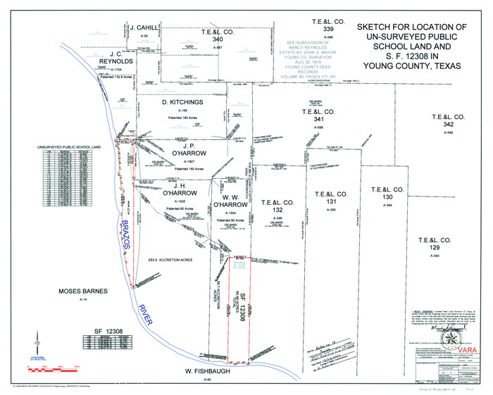
Young County Sketch File 22
12716, Young County Sketch File 22, General Map Collection
Print $20.00 - Digital $50.00

Young County Sketch File 22

1957

  • Size

    22.9 x 19.8 inches

  • Map/Doc

    12716

  • Creation Date

    1957

Young County Sketch File 21
12715, Young County Sketch File 21, General Map Collection
Print $20.00 - Digital $50.00

Young County Sketch File 21

1954

  • Size

    19.0 x 23.0 inches

  • Map/Doc

    12715

  • Creation Date

    1954

Right of Way and Track Map, The Wichita Falls & Southern Railway
64512, Right of Way and Track Map, The Wichita Falls & Southern Railway, General Map Collection
Print $40.00 - Digital $50.00

Right of Way and Track Map, The Wichita Falls & Southern Railway

1942

  • Size

    25.0 x 121.0 inches

  • Map/Doc

    64512

  • Creation Date

    1942

Right of Way and Track Map, The Wichita Falls & Southern Railway
64513, Right of Way and Track Map, The Wichita Falls & Southern Railway, General Map Collection
Print $40.00 - Digital $50.00

Right of Way and Track Map, The Wichita Falls & Southern Railway

1942

  • Size

    25.5 x 92.5 inches

  • Map/Doc

    64513

  • Creation Date

    1942

Right of Way Track Map, Wichita Falls & Southern Railroad Company
64514, Right of Way Track Map, Wichita Falls & Southern Railroad Company, General Map Collection
Print $40.00 - Digital $50.00

Right of Way Track Map, Wichita Falls & Southern Railroad Company

1942

  • Size

    24.5 x 56.1 inches

  • Map/Doc

    64514

  • Creation Date

    1942

Right of Way and Track Map of The Wichita Falls & Southern Railroad Company
64515, Right of Way and Track Map of The Wichita Falls & Southern Railroad Company, General Map Collection
Print $40.00 - Digital $50.00

Right of Way and Track Map of The Wichita Falls & Southern Railroad Company

1942

  • Size

    24.4 x 56.4 inches

  • Map/Doc

    64515

  • Creation Date

    1942

Right of Way and Track Map of The Wichita Falls & Southern Railroad Company
64516, Right of Way and Track Map of The Wichita Falls & Southern Railroad Company, General Map Collection
Print $40.00 - Digital $50.00

Right of Way and Track Map of The Wichita Falls & Southern Railroad Company

1942

  • Size

    24.6 x 56.1 inches

  • Map/Doc

    64516

  • Creation Date

    1942

Right of Way and Track Map of The Wichita Falls & Southern Railroad Company
64517, Right of Way and Track Map of The Wichita Falls & Southern Railroad Company, General Map Collection
Print $40.00 - Digital $50.00

Right of Way and Track Map of The Wichita Falls & Southern Railroad Company

1942

  • Size

    24.5 x 56.3 inches

  • Map/Doc

    64517

  • Creation Date

    1942

Right of Way and Track Map of The Wichita Falls & Southern Railroad Company
64518, Right of Way and Track Map of The Wichita Falls & Southern Railroad Company, General Map Collection
Print $40.00 - Digital $50.00

Right of Way and Track Map of The Wichita Falls & Southern Railroad Company

1942

  • Size

    24.6 x 56.1 inches

  • Map/Doc

    64518

  • Creation Date

    1942

Right of Way and Track Map of The Wichita Falls & Southern Railroad Company
64519, Right of Way and Track Map of The Wichita Falls & Southern Railroad Company, General Map Collection
Print $40.00 - Digital $50.00

Right of Way and Track Map of The Wichita Falls & Southern Railroad Company

1942

  • Size

    24.6 x 56.1 inches

  • Map/Doc

    64519

  • Creation Date

    1942

Right of Way and Track Map of The Wichita Falls & Southern Railroad Company
64520, Right of Way and Track Map of The Wichita Falls & Southern Railroad Company, General Map Collection
Print $40.00 - Digital $50.00

Right of Way and Track Map of The Wichita Falls & Southern Railroad Company

1942

  • Size

    25.0 x 56.2 inches

  • Map/Doc

    64520

  • Creation Date

    1942

Right of Way and Track Map of The Wichita Falls & Southern Railroad Company
64521, Right of Way and Track Map of The Wichita Falls & Southern Railroad Company, General Map Collection
Print $40.00 - Digital $50.00

Right of Way and Track Map of The Wichita Falls & Southern Railroad Company

1942

  • Size

    24.7 x 56.3 inches

  • Map/Doc

    64521

  • Creation Date

    1942

Young County
63142, Young County, General Map Collection
Print $20.00 - Digital $50.00

Young County

1941

  • Size

    47.6 x 40.5 inches

  • Map/Doc

    63142

  • Creation Date

    1941

Young County
73332, Young County, General Map Collection
Print $20.00 - Digital $50.00

Young County

1941

  • Size

    47.2 x 40.0 inches

  • Map/Doc

    73332

  • Creation Date

    1941

Young County Working Sketch Graphic Index
76748, Young County Working Sketch Graphic Index, General Map Collection
Print $20.00 - Digital $50.00

Young County Working Sketch Graphic Index

1941

  • Size

    44.1 x 38.4 inches

  • Map/Doc

    76748

  • Creation Date

    1941

Young County
77466, Young County, General Map Collection
Print $20.00 - Digital $50.00

Young County

1941

  • Size

    42.9 x 37.9 inches

  • Map/Doc

    77466

  • Creation Date

    1941

Young County
95682, Young County, General Map Collection
Print $20.00 - Digital $50.00

Young County

1941

  • Size

    47.6 x 39.9 inches

  • Map/Doc

    95682

  • Creation Date

    1941

General Highway Map, Young County, Texas
79286, General Highway Map, Young County, Texas, Texas State Library and Archives
Print $20.00

General Highway Map, Young County, Texas

1940

  • Size

    18.4 x 24.8 inches

  • Map/Doc

    79286

  • Creation Date

    1940

Young County Sketch File 18
40882, Young County Sketch File 18, General Map Collection
Print $10.00 - Digital $50.00

Young County Sketch File 18

1929

  • Size

    11.5 x 8.7 inches

  • Map/Doc

    40882

  • Creation Date

    1929

Young County Sketch File 20
12714, Young County Sketch File 20, General Map Collection
Print $20.00 - Digital $50.00

Young County Sketch File 20

1922

  • Size

    27.4 x 23.9 inches

  • Map/Doc

    12714

  • Creation Date

    1922

Young County Rolled Sketch 10
8298, Young County Rolled Sketch 10, General Map Collection
Print $20.00 - Digital $50.00

Young County Rolled Sketch 10

1921

  • Size

    27.3 x 40.1 inches

  • Map/Doc

    8298

  • Creation Date

    1921

Young County Rolled Sketch 9
8297, Young County Rolled Sketch 9, General Map Collection
Print $20.00 - Digital $50.00

Young County Rolled Sketch 9

1921

  • Size

    24.0 x 22.6 inches

  • Map/Doc

    8297

  • Creation Date

    1921

Plat Showing Proposed Dam & Reservoir Under Application No. 561 Located at Mouth of Clear Fork of Brazos River
92094, Plat Showing Proposed Dam & Reservoir Under Application No. 561 Located at Mouth of Clear Fork of Brazos River, Twichell Survey Records
Print $20.00 - Digital $50.00

Plat Showing Proposed Dam & Reservoir Under Application No. 561 Located at Mouth of Clear Fork of Brazos River

1921

  • Size

    24.0 x 16.6 inches

  • Map/Doc

    92094

  • Creation Date

    1921