Foard County Sketch File 2
 
                                                                        
                                Palo Pinto County Sketch File 1
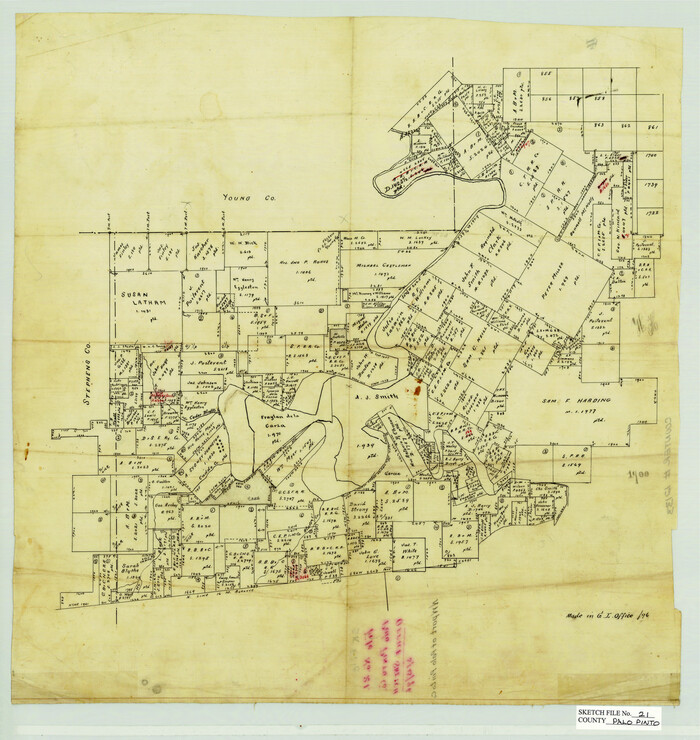
 
                                                                        
                                Palo Pinto County Sketch File 21
1896
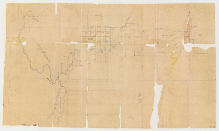
 
                                                                        
                                Stephens County Sketch File 1B
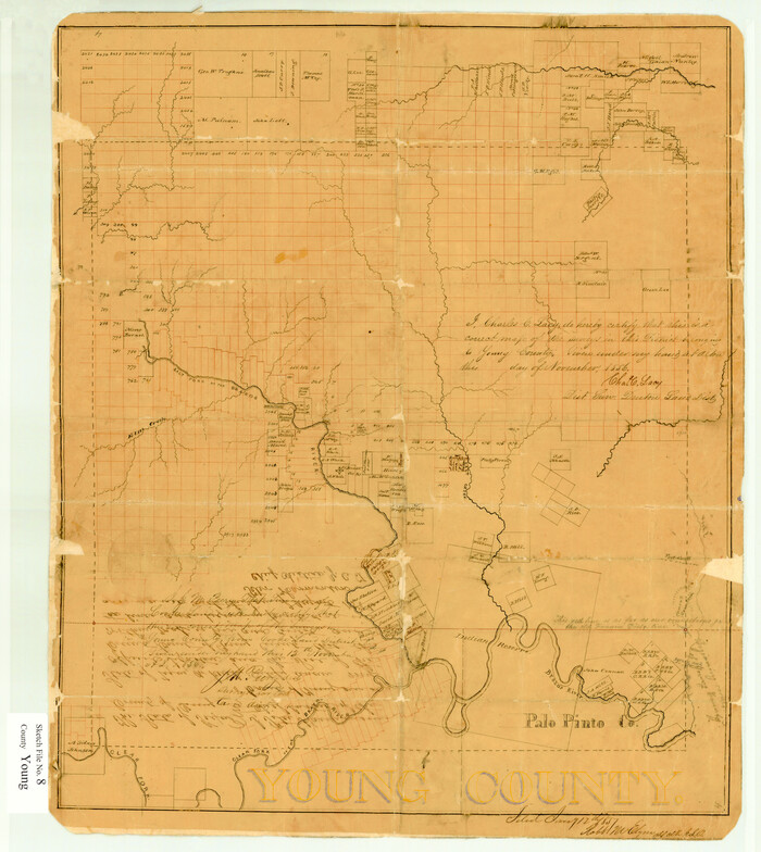
 
                                                                        
                                Young County Sketch File 8
1856
 
                                                                        
                                Young County Sketch File 10
 
                                                                        
                                Young County Sketch File 14
1895
 
                                                                        
                                Young County Sketch File 17
 
                                                                        
                                Young County Sketch File 20
1922
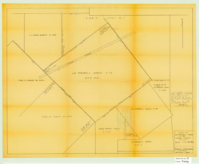
 
                                                                        
                                Young County Sketch File 21
1954
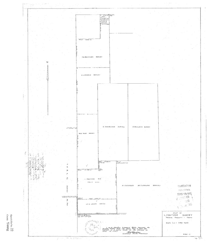
 
                                                                        
                                Young County Sketch File 22
1957
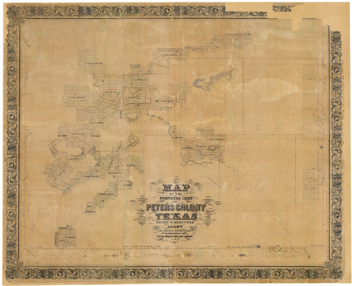
 
                                                                        
                                Map of The Surveyed Part of Peters Colony Texas
1854
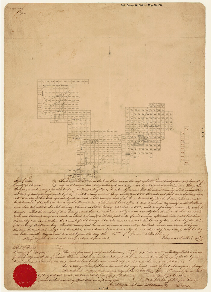
 
                                                                        
                                [Surveys made in Peters Colony by Thomas Leckie]
1858
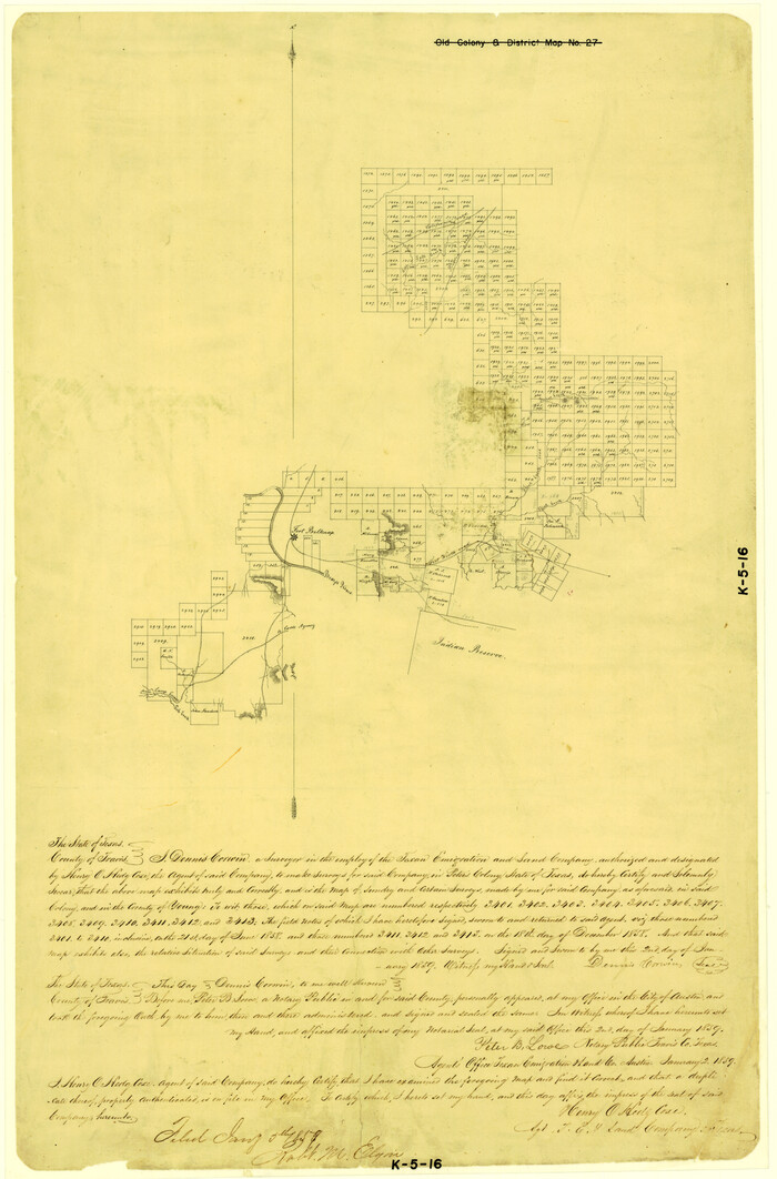
 
                                                                        
                                [Surveys made in Peters Colony by Dennis Corwin]
1859
 
                                                                        
                                Haskell County Sketch File 16
1894
 
                                                                        
                                Jack County Sketch File 13
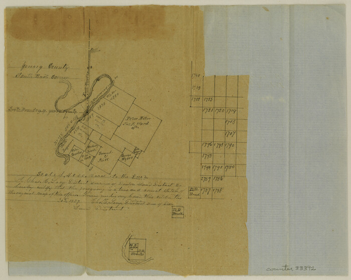
 
                                                                        
                                Palo Pinto County Sketch File 2
1857
 
                                                                        
                                Palo Pinto County Sketch File 20
1891
 
                                                                        
                                Stephens County Sketch File 17
1912
 
                                                                        
                                Young County Sketch File 1
1853
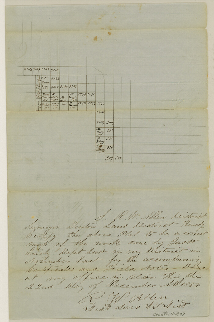
 
                                                                        
                                Young County Sketch File 3
1854
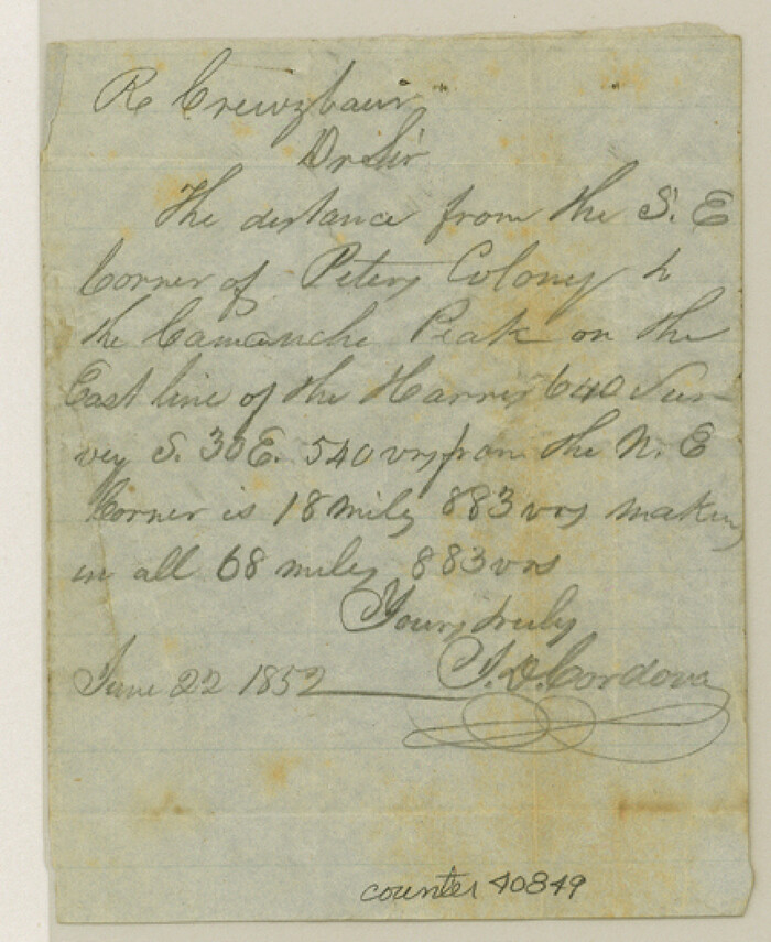
 
                                                                        
                                Young County Sketch File 4
1852
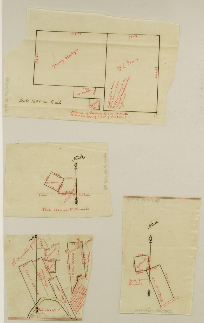
 
                                                                        
                                Young County Sketch File 6
 
                                                                        
                                Young County Sketch File 7
1856
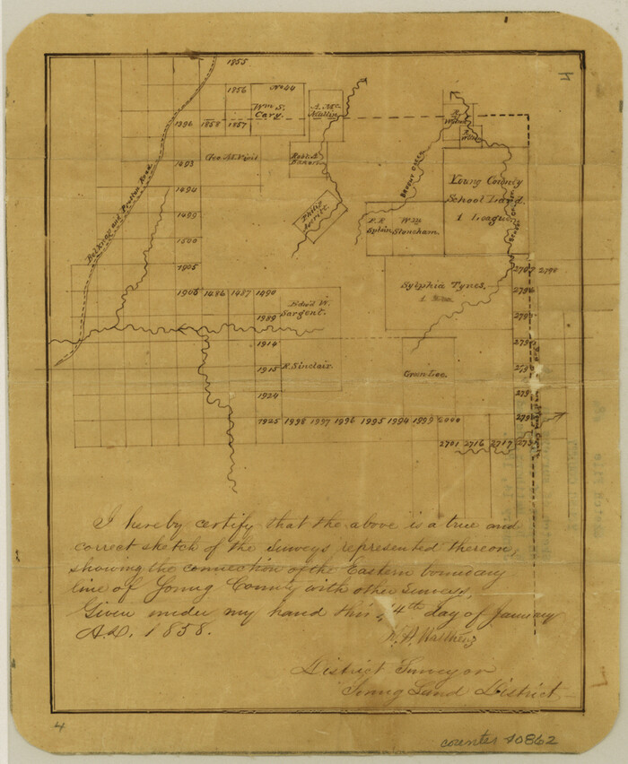
 
                                                                        
                                Young County Sketch File 8a
1858
 
                                                                        
                                Young County Sketch File 9
1859
 
                                                                        
                                Young County Sketch File 9a
1875
 
                                                                        
                                Young County Sketch File 10a
1879
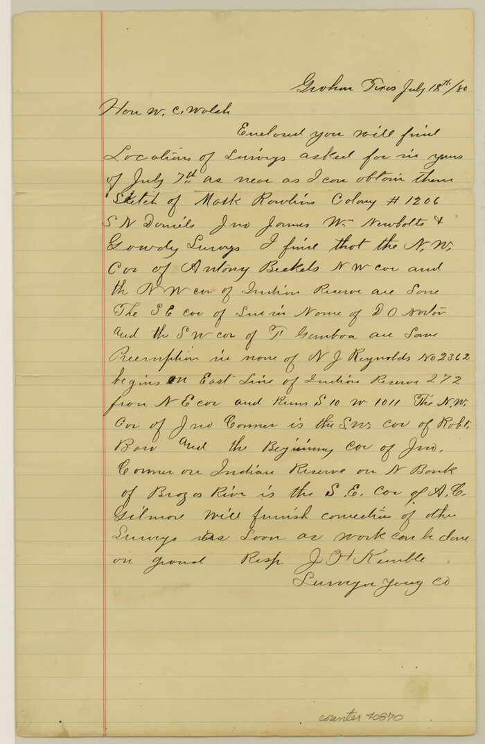
 
                                                                        
                                Young County Sketch File 10b
1880
 
                                                
                    Foard County Sketch File 2
- 
                                Size23.8 x 16.3 inches 
- 
                            Map/Doc11490 
 
                                                
                    Palo Pinto County Sketch File 1
- 
                                Size18.8 x 23.5 inches 
- 
                            Map/Doc12131 
 
                                                
                    Palo Pinto County Sketch File 21
1896
- 
                                Size18.5 x 17.5 inches 
- 
                            Map/Doc12133 
- 
                                Creation Date1896 
 
                                                
                    Stephens County Sketch File 1B
- 
                                Size12.9 x 28.2 inches 
- 
                            Map/Doc12348 
 
                                                
                    Young County Sketch File 8
1856
- 
                                Size19.8 x 17.7 inches 
- 
                            Map/Doc12710 
- 
                                Creation Date1856 
 
                                                
                    Young County Sketch File 10
- 
                                Size14.1 x 17.7 inches 
- 
                            Map/Doc12711 
 
                                                
                    Young County Sketch File 14
1895
- 
                                Size10.9 x 27.3 inches 
- 
                            Map/Doc12712 
- 
                                Creation Date1895 
 
                                                
                    Young County Sketch File 17
- 
                                Size18.5 x 24.3 inches 
- 
                            Map/Doc12713 
 
                                                
                    Young County Sketch File 20
1922
- 
                                Size27.4 x 23.9 inches 
- 
                            Map/Doc12714 
- 
                                Creation Date1922 
 
                                                
                    Young County Sketch File 21
1954
- 
                                Size19.0 x 23.0 inches 
- 
                            Map/Doc12715 
- 
                                Creation Date1954 
 
                                                
                    Young County Sketch File 22
1957
- 
                                Size22.9 x 19.8 inches 
- 
                            Map/Doc12716 
- 
                                Creation Date1957 
![1948, Milam [District], General Map Collection](https://historictexasmaps.com/wmedia_w700/maps/1948.tif.jpg) 
                                                
                    Milam [District]
1850
- 
                                Size60.8 x 46.4 inches 
- 
                            Map/Doc1948 
- 
                                Creation Date1850 
 
                                                
                    Map of The Surveyed Part of Peters Colony Texas
1854
- 
                                Size53.5 x 65.9 inches 
- 
                            Map/Doc1967 
- 
                                Creation Date1854 
![1983, [Surveys made in Peters Colony by Thomas Leckie], General Map Collection](https://historictexasmaps.com/wmedia_w700/maps/1983.tif.jpg) 
                                                
                    [Surveys made in Peters Colony by Thomas Leckie]
1858
- 
                                Size22.9 x 16.6 inches 
- 
                            Map/Doc1983 
- 
                                Creation Date1858 
![1985, [Surveys made in Peters Colony by Dennis Corwin], General Map Collection](https://historictexasmaps.com/wmedia_w700/maps/1985.tif.jpg) 
                                                
                    [Surveys made in Peters Colony by Dennis Corwin]
1859
- 
                                Size24.6 x 16.2 inches 
- 
                            Map/Doc1985 
- 
                                Creation Date1859 
 
                                                
                    Haskell County Sketch File 16
1894
- 
                                Size11.2 x 8.8 inches 
- 
                            Map/Doc26163 
- 
                                Creation Date1894 
 
                                                
                    Jack County Sketch File 13
- 
                                Size10.3 x 8.0 inches 
- 
                            Map/Doc27537 
 
                                                
                    Palo Pinto County Sketch File 2
1857
- 
                                Size8.2 x 10.3 inches 
- 
                            Map/Doc33392 
- 
                                Creation Date1857 
 
                                                
                    Palo Pinto County Sketch File 20
1891
- 
                                Size12.5 x 10.9 inches 
- 
                            Map/Doc33402 
- 
                                Creation Date1891 
 
                                                
                    Stephens County Sketch File 17
1912
- 
                                Size11.2 x 8.7 inches 
- 
                            Map/Doc37074 
- 
                                Creation Date1912 
 
                                                
                    Young County Sketch File 1
1853
- 
                                Size7.9 x 9.7 inches 
- 
                            Map/Doc40843 
- 
                                Creation Date1853 
 
                                                
                    Young County Sketch File 3
1854
- 
                                Size12.3 x 8.2 inches 
- 
                            Map/Doc40847 
- 
                                Creation Date1854 
 
                                                
                    Young County Sketch File 4
1852
- 
                                Size5.3 x 4.3 inches 
- 
                            Map/Doc40849 
- 
                                Creation Date1852 
 
                                                
                    Young County Sketch File 6
- 
                                Size13.0 x 8.2 inches 
- 
                            Map/Doc40852 
 
                                                
                    Young County Sketch File 7
1856
- 
                                Size8.4 x 9.2 inches 
- 
                            Map/Doc40859 
- 
                                Creation Date1856 
 
                                                
                    Young County Sketch File 8a
1858
- 
                                Size9.8 x 8.0 inches 
- 
                            Map/Doc40862 
- 
                                Creation Date1858 
 
                                                
                    Young County Sketch File 9
1859
- 
                                Size8.5 x 7.8 inches 
- 
                            Map/Doc40864 
- 
                                Creation Date1859 
 
                                                
                    Young County Sketch File 9a
1875
- 
                                Size12.9 x 8.3 inches 
- 
                            Map/Doc40866 
- 
                                Creation Date1875 
 
                                                
                    Young County Sketch File 10a
1879
- 
                                Size8.0 x 7.5 inches 
- 
                            Map/Doc40868 
- 
                                Creation Date1879 
 
                                                
                    Young County Sketch File 10b
1880
- 
                                Size12.9 x 8.4 inches 
- 
                            Map/Doc40870 
- 
                                Creation Date1880