134 results

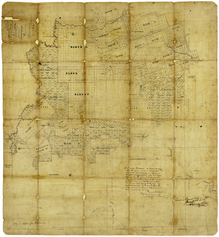
Baylor County Rolled Sketch 5
8444-1.tif
Print $20.00 - Digital $50.00

Baylor County Rolled Sketch 5

1874

Size: 43.2 x 39.7 inches
8444
Foard County Sketch File 2
11490, Foard County Sketch File 2, General Map Collection
Print $40.00 - Digital $50.00

Foard County Sketch File 2

Size: 23.8 x 16.3 inches
11490
G. P. Co. Survey of A. C. Daws Tr. Lease No. 6453
92022-1.tif
Print $20.00 - Digital $50.00

G. P. Co. Survey of A. C. Daws Tr. Lease No. 6453

1920
Size: 18.9 x 27.9 inches
92022
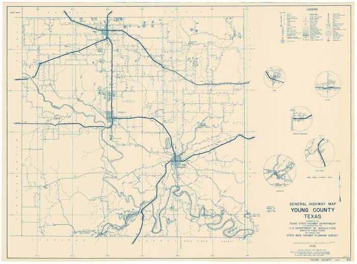
General Highway Map, Young County, Texas
79286-1.tif
Print $20.00

General Highway Map, Young County, Texas

1940

Size: 18.4 x 24.8 inches
79286
General Highway Map, Young County, Texas
79720-1.tif
Print $20.00

General Highway Map, Young County, Texas

1961

Size: 18.3 x 24.8 inches
79720
Gulf, Texas & Western Railway
64430.tif
Print $40.00 - Digital $50.00

Gulf, Texas & Western Railway

1909

Size: 18.5 x 121.0 inches
64430
Gulf, Texas & Western Railway
64431.tif
Print $40.00 - Digital $50.00

Gulf, Texas & Western Railway

1909

Size: 18.7 x 103.5 inches
64431
Haskell County Sketch File 16
26163, Haskell County Sketch File 16, General Map Collection
Print $32.00 - Digital $50.00

Haskell County Sketch File 16

1894

Size: 11.2 x 8.8 inches
26163
Jack County Sketch File 13
27537, Jack County Sketch File 13, General Map Collection
Print $4.00 - Digital $50.00

Jack County Sketch File 13

Size: 10.3 x 8.0 inches
27537
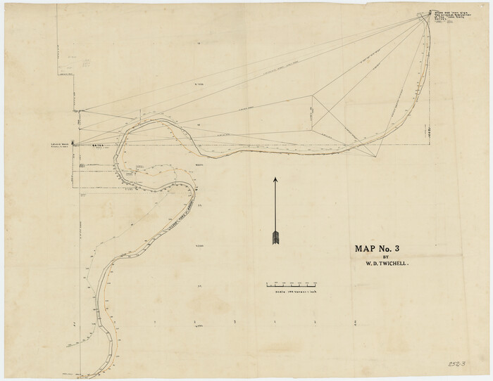
Map No. 3 by W. D. Twichell
89710-1.tif
Print $20.00 - Digital $50.00

Map No. 3 by W. D. Twichell

Size: 42.5 x 32.9 inches
89710
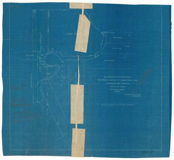
Map Showing Relative Position of Tankersley Survey, its Subdivisions and Surrounding Surveys, Young County, Texas
92020-2.tif
Print $20.00 - Digital $50.00

Map Showing Relative Position of Tankersley Survey, its Subdivisions and Surrounding Surveys, Young County, Texas

1921
Size: 22.3 x 20.3 inches
92020
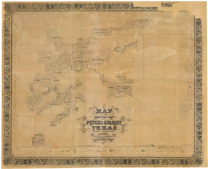
Map of The Surveyed Part of Peters Colony Texas
1967-1.tif
Print $40.00 - Digital $50.00

Map of The Surveyed Part of Peters Colony Texas

1854
Size: 53.5 x 65.9 inches
1967
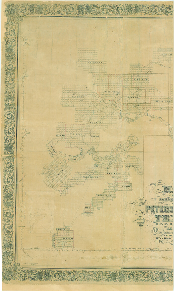
Map of The Surveyed Part of Peters Colony Texas
83007.tif
Print $40.00 - Digital $50.00

Map of The Surveyed Part of Peters Colony Texas

1854

Size: 53.7 x 32.0 inches
83007
Map of The Surveyed Part of Peters Colony Texas
83008.tif
Print $40.00 - Digital $50.00

Map of The Surveyed Part of Peters Colony Texas

1854
Size: 53.1 x 33.9 inches
83008
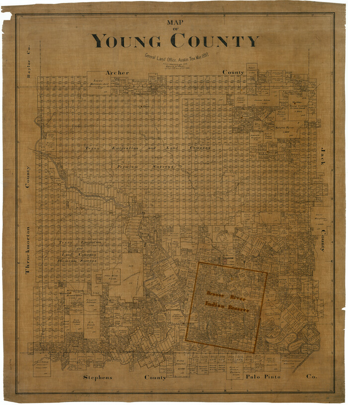
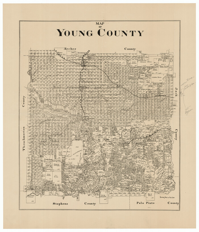
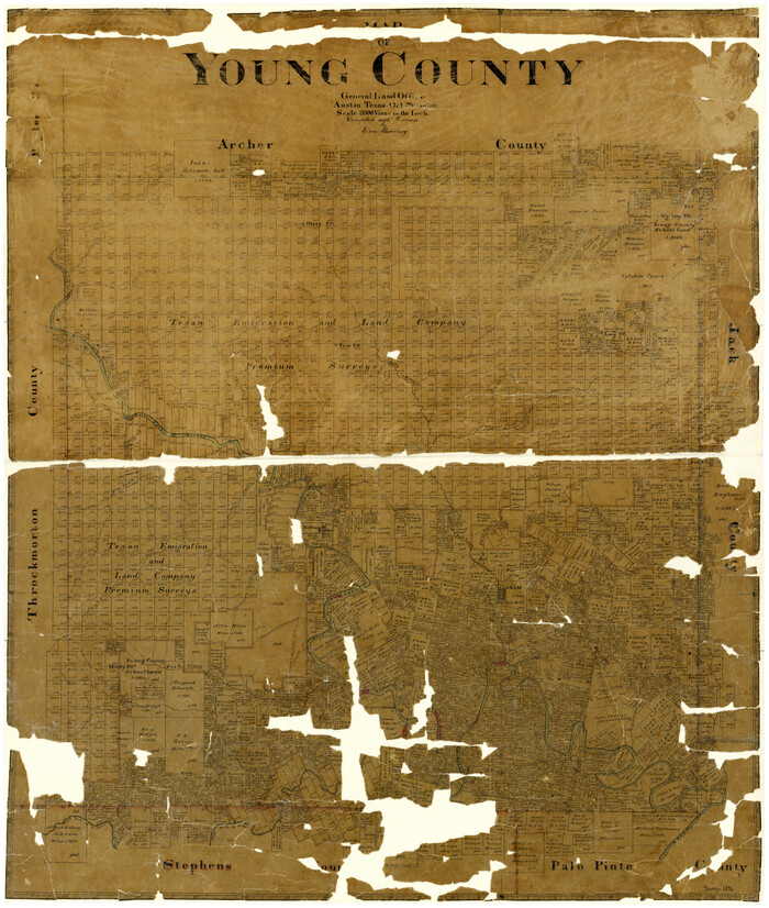
Map of Young County
4172.tif
Print $20.00 - Digital $50.00

Map of Young County

1896

Size: 41.6 x 35.0 inches
4172
Map of Young County
4174-GC.tif
Print $20.00 - Digital $50.00

Map of Young County

1880

Size: 22.0 x 20.3 inches
4174
Map of Young County
63140.tif
Print $20.00 - Digital $50.00

Map of Young County

1897

Size: 44.1 x 37.9 inches
63140
Map of Young County
92023-1.tif
Print $20.00 - Digital $50.00

Map of Young County

Size: 25.6 x 29.8 inches
92023
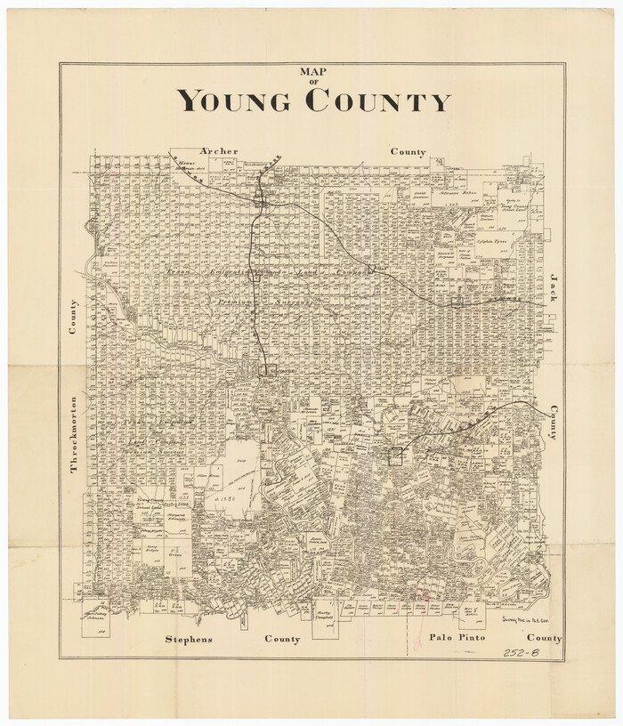
Map of Young County
92108-1.tif
Print $20.00 - Digital $50.00

Map of Young County

Size: 16.9 x 19.7 inches
92108
Map of Young County
92803.tif
Print $20.00 - Digital $50.00

Map of Young County

Size: 25.1 x 29.3 inches
92803
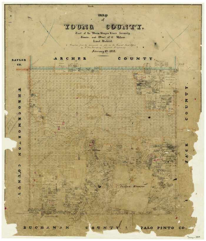
Map of Young County East of the Main Brazos River formerly Fannin and West of it Milam Land District
4173.tif
Print $20.00 - Digital $50.00

Map of Young County East of the Main Brazos River formerly Fannin and West of it Milam Land District

1859

Size: 23.3 x 20.2 inches
4173
Map of the Fort Worth and Denver City Railway
64778.tif
Print $40.00 - Digital $50.00

Map of the Fort Worth and Denver City Railway

1873

Size: 31.6 x 90.3 inches
64778
Map of the Recognised Line, M. El. P. & P. RR. from Texas & Arkansas State Line to Milam & Bexar Land District Line
64638.tif
Print $40.00 - Digital $50.00

Map of the Recognised Line, M. El. P. & P. RR. from Texas & Arkansas State Line to Milam & Bexar Land District Line

Size: 15.3 x 89.4 inches
64638
Milam [District]
1948.tif
Print $40.00 - Digital $50.00

Milam [District]

1850

Size: 60.8 x 46.4 inches
1948
Palo Pinto County Sketch File 1
12131, Palo Pinto County Sketch File 1, General Map Collection
Print $20.00 - Digital $50.00

Palo Pinto County Sketch File 1

Size: 18.8 x 23.5 inches
12131
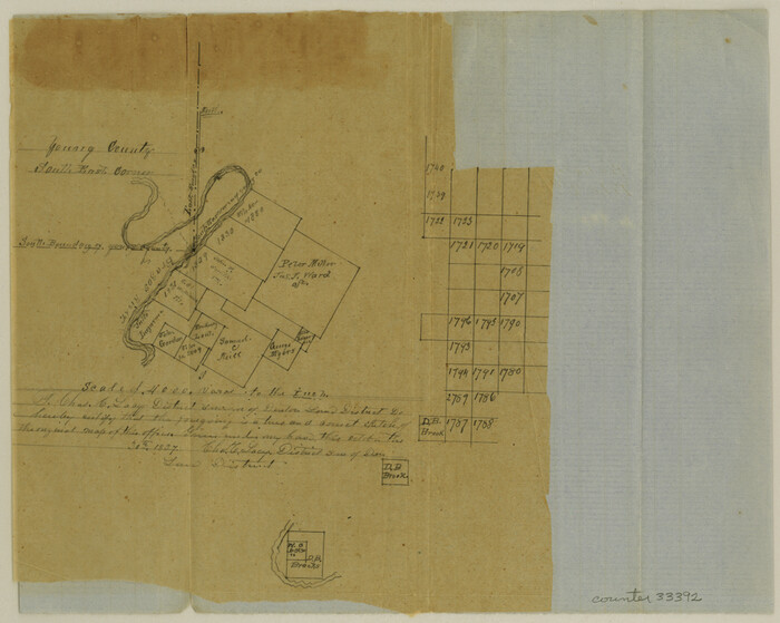
Palo Pinto County Sketch File 2
33392, Palo Pinto County Sketch File 2, General Map Collection
Print $4.00 - Digital $50.00

Palo Pinto County Sketch File 2

1857

Size: 8.2 x 10.3 inches
33392
Palo Pinto County Sketch File 20
33402, Palo Pinto County Sketch File 20, General Map Collection
Print $6.00 - Digital $50.00

Palo Pinto County Sketch File 20

1891
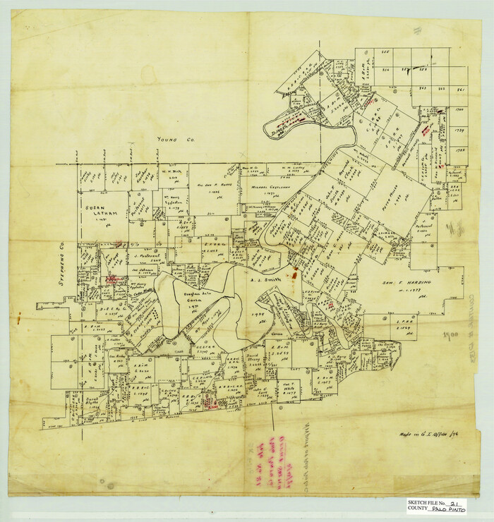
Size: 12.5 x 10.9 inches
33402
Palo Pinto County Sketch File 21
12133, Palo Pinto County Sketch File 21, General Map Collection
Print $20.00 - Digital $50.00

Palo Pinto County Sketch File 21

1896
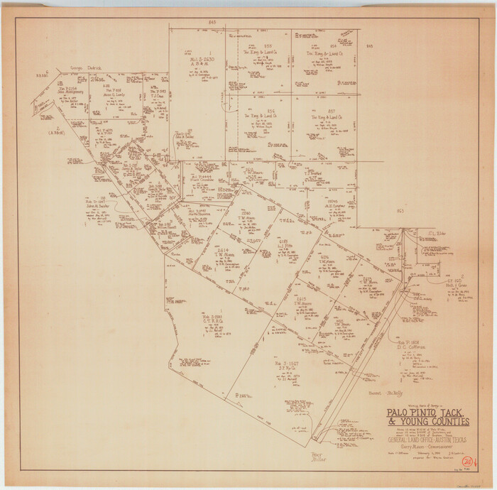
Size: 18.5 x 17.5 inches
12133
Plat Showing Proposed Dam & Reservoir Under Application No. 561 Located at Mouth of Clear Fork of Brazos River
92094-1.tif
Print $20.00 - Digital $50.00

Plat Showing Proposed Dam & Reservoir Under Application No. 561 Located at Mouth of Clear Fork of Brazos River

1921

Size: 24.0 x 16.6 inches
92094
Plat of E. C. Stovall's Irrigated Plantation, Young Co., Texas
92019-1.tif
Print $20.00 - Digital $50.00

Plat of E. C. Stovall's Irrigated Plantation, Young Co., Texas

Size: 17.6 x 14.7 inches
92019
Baylor County Rolled Sketch 5
8444, Baylor County Rolled Sketch 5, General Map Collection
Print $20.00 - Digital $50.00

Baylor County Rolled Sketch 5

1874

  • Size

    43.2 x 39.7 inches

  • Map/Doc

    8444

  • Creation Date

    1874

Foard County Sketch File 2
11490, Foard County Sketch File 2, General Map Collection
Print $40.00 - Digital $50.00

Foard County Sketch File 2

  • Size

    23.8 x 16.3 inches

  • Map/Doc

    11490

G. P. Co. Survey of A. C. Daws Tr. Lease No. 6453
92022, G. P. Co. Survey of A. C. Daws Tr. Lease No. 6453, Twichell Survey Records
Print $20.00 - Digital $50.00

G. P. Co. Survey of A. C. Daws Tr. Lease No. 6453

1920

  • Size

    18.9 x 27.9 inches

  • Map/Doc

    92022

  • Creation Date

    1920

General Highway Map, Young County, Texas
79286, General Highway Map, Young County, Texas, Texas State Library and Archives
Print $20.00

General Highway Map, Young County, Texas

1940

  • Size

    18.4 x 24.8 inches

  • Map/Doc

    79286

  • Creation Date

    1940

General Highway Map, Young County, Texas
79720, General Highway Map, Young County, Texas, Texas State Library and Archives
Print $20.00

General Highway Map, Young County, Texas

1961

  • Size

    18.3 x 24.8 inches

  • Map/Doc

    79720

  • Creation Date

    1961

Gulf, Texas & Western Railway
64430, Gulf, Texas & Western Railway, General Map Collection
Print $40.00 - Digital $50.00

Gulf, Texas & Western Railway

1909

  • Size

    18.5 x 121.0 inches

  • Map/Doc

    64430

  • Creation Date

    1909

Gulf, Texas & Western Railway
64431, Gulf, Texas & Western Railway, General Map Collection
Print $40.00 - Digital $50.00

Gulf, Texas & Western Railway

1909

  • Size

    18.7 x 103.5 inches

  • Map/Doc

    64431

  • Creation Date

    1909

Haskell County Sketch File 16
26163, Haskell County Sketch File 16, General Map Collection
Print $32.00 - Digital $50.00

Haskell County Sketch File 16

1894

  • Size

    11.2 x 8.8 inches

  • Map/Doc

    26163

  • Creation Date

    1894

Jack County Sketch File 13
27537, Jack County Sketch File 13, General Map Collection
Print $4.00 - Digital $50.00

Jack County Sketch File 13

  • Size

    10.3 x 8.0 inches

  • Map/Doc

    27537

Map No. 3 by W. D. Twichell
89710, Map No. 3 by W. D. Twichell, Twichell Survey Records
Print $20.00 - Digital $50.00

Map No. 3 by W. D. Twichell

  • Size

    42.5 x 32.9 inches

  • Map/Doc

    89710

Map Showing Relative Position of Tankersley Survey, its Subdivisions and Surrounding Surveys, Young County, Texas
92020, Map Showing Relative Position of Tankersley Survey, its Subdivisions and Surrounding Surveys, Young County, Texas, Twichell Survey Records
Print $20.00 - Digital $50.00

Map Showing Relative Position of Tankersley Survey, its Subdivisions and Surrounding Surveys, Young County, Texas

1921

  • Size

    22.3 x 20.3 inches

  • Map/Doc

    92020

  • Creation Date

    1921

Map of The Surveyed Part of Peters Colony Texas
1967, Map of The Surveyed Part of Peters Colony Texas, General Map Collection
Print $40.00 - Digital $50.00

Map of The Surveyed Part of Peters Colony Texas

1854

  • Size

    53.5 x 65.9 inches

  • Map/Doc

    1967

  • Creation Date

    1854

Map of The Surveyed Part of Peters Colony Texas
83007, Map of The Surveyed Part of Peters Colony Texas, General Map Collection
Print $40.00 - Digital $50.00

Map of The Surveyed Part of Peters Colony Texas

1854

  • Size

    53.7 x 32.0 inches

  • Map/Doc

    83007

  • Creation Date

    1854

Map of The Surveyed Part of Peters Colony Texas
83008, Map of The Surveyed Part of Peters Colony Texas, General Map Collection
Print $40.00 - Digital $50.00

Map of The Surveyed Part of Peters Colony Texas

1854

  • Size

    53.1 x 33.9 inches

  • Map/Doc

    83008

  • Creation Date

    1854

Map of Young County
4172, Map of Young County, General Map Collection
Print $20.00 - Digital $50.00

Map of Young County

1896

  • Size

    41.6 x 35.0 inches

  • Map/Doc

    4172

  • Creation Date

    1896

Map of Young County
4174, Map of Young County, General Map Collection
Print $20.00 - Digital $50.00

Map of Young County

1880

  • Size

    22.0 x 20.3 inches

  • Map/Doc

    4174

  • Creation Date

    1880

Map of Young County
63140, Map of Young County, General Map Collection
Print $20.00 - Digital $50.00

Map of Young County

1897

  • Size

    44.1 x 37.9 inches

  • Map/Doc

    63140

  • Creation Date

    1897

Map of Young County
92023, Map of Young County, Twichell Survey Records
Print $20.00 - Digital $50.00

Map of Young County

  • Size

    25.6 x 29.8 inches

  • Map/Doc

    92023

Map of Young County
92108, Map of Young County, Twichell Survey Records
Print $20.00 - Digital $50.00

Map of Young County

  • Size

    16.9 x 19.7 inches

  • Map/Doc

    92108

Map of Young County
92803, Map of Young County, Twichell Survey Records
Print $20.00 - Digital $50.00

Map of Young County

  • Size

    25.1 x 29.3 inches

  • Map/Doc

    92803

Map of Young County East of the Main Brazos River formerly Fannin and West of it Milam Land District
4173, Map of Young County East of the Main Brazos River formerly Fannin and West of it Milam Land District, General Map Collection
Print $20.00 - Digital $50.00

Map of Young County East of the Main Brazos River formerly Fannin and West of it Milam Land District

1859

  • Size

    23.3 x 20.2 inches

  • Map/Doc

    4173

  • Creation Date

    1859

Map of the Fort Worth and Denver City Railway
64778, Map of the Fort Worth and Denver City Railway, General Map Collection
Print $40.00 - Digital $50.00

Map of the Fort Worth and Denver City Railway

1873

  • Size

    31.6 x 90.3 inches

  • Map/Doc

    64778

  • Creation Date

    1873

Map of the Recognised Line, M. El. P. & P. RR. from Texas & Arkansas State Line to Milam & Bexar Land District Line
64638, Map of the Recognised Line, M. El. P. & P. RR. from Texas & Arkansas State Line to Milam & Bexar Land District Line, General Map Collection
Print $40.00 - Digital $50.00

Map of the Recognised Line, M. El. P. & P. RR. from Texas & Arkansas State Line to Milam & Bexar Land District Line

  • Size

    15.3 x 89.4 inches

  • Map/Doc

    64638

Milam [District]
1948, Milam [District], General Map Collection
Print $40.00 - Digital $50.00

Milam [District]

1850

  • Size

    60.8 x 46.4 inches

  • Map/Doc

    1948

  • Creation Date

    1850

Palo Pinto County Sketch File 1
12131, Palo Pinto County Sketch File 1, General Map Collection
Print $20.00 - Digital $50.00

Palo Pinto County Sketch File 1

  • Size

    18.8 x 23.5 inches

  • Map/Doc

    12131

Palo Pinto County Sketch File 2
33392, Palo Pinto County Sketch File 2, General Map Collection
Print $4.00 - Digital $50.00

Palo Pinto County Sketch File 2

1857

  • Size

    8.2 x 10.3 inches

  • Map/Doc

    33392

  • Creation Date

    1857

Palo Pinto County Sketch File 20
33402, Palo Pinto County Sketch File 20, General Map Collection
Print $6.00 - Digital $50.00

Palo Pinto County Sketch File 20

1891

  • Size

    12.5 x 10.9 inches

  • Map/Doc

    33402

  • Creation Date

    1891

Palo Pinto County Sketch File 21
12133, Palo Pinto County Sketch File 21, General Map Collection
Print $20.00 - Digital $50.00

Palo Pinto County Sketch File 21

1896

  • Size

    18.5 x 17.5 inches

  • Map/Doc

    12133

  • Creation Date

    1896

Plat Showing Proposed Dam & Reservoir Under Application No. 561 Located at Mouth of Clear Fork of Brazos River
92094, Plat Showing Proposed Dam & Reservoir Under Application No. 561 Located at Mouth of Clear Fork of Brazos River, Twichell Survey Records
Print $20.00 - Digital $50.00

Plat Showing Proposed Dam & Reservoir Under Application No. 561 Located at Mouth of Clear Fork of Brazos River

1921

  • Size

    24.0 x 16.6 inches

  • Map/Doc

    92094

  • Creation Date

    1921

Plat of E. C. Stovall's Irrigated Plantation, Young Co., Texas
92019, Plat of E. C. Stovall's Irrigated Plantation, Young Co., Texas, Twichell Survey Records
Print $20.00 - Digital $50.00

Plat of E. C. Stovall's Irrigated Plantation, Young Co., Texas

  • Size

    17.6 x 14.7 inches

  • Map/Doc

    92019