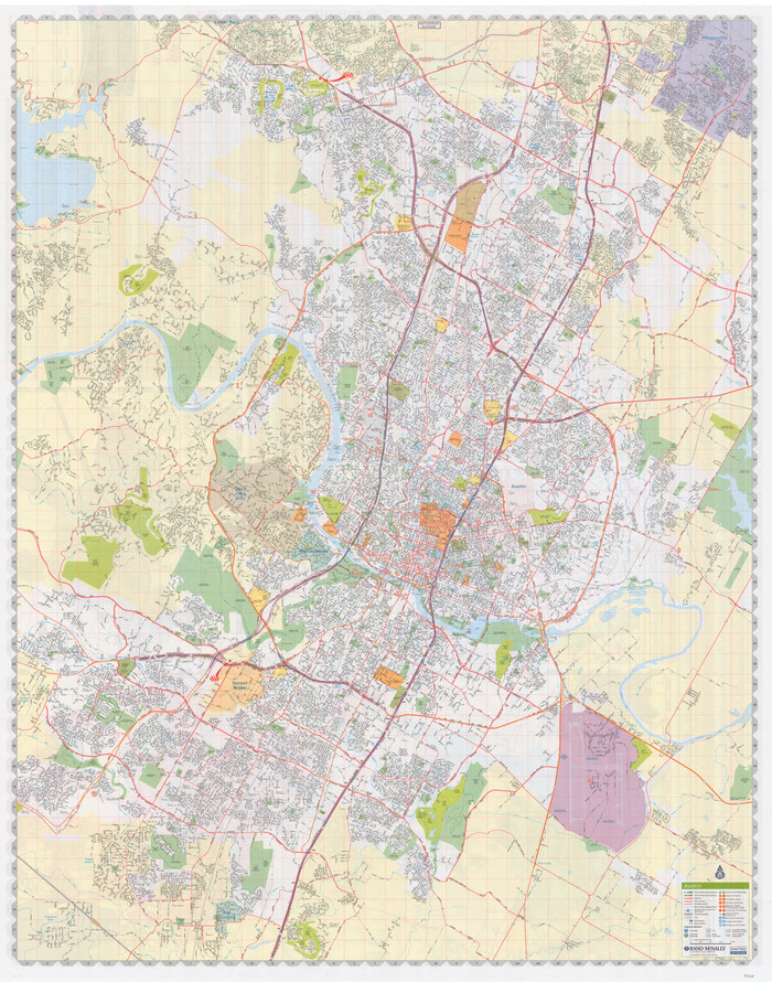
'The Cradle of Texas' - San Augustine


Print $20.00
- Digital $50.00
'The Cradle of Texas' - San Augustine
Size: 19.3 x 25.3 inches
94441
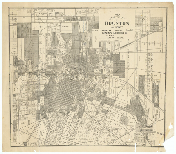
1910 Map of the City of Houston and vicinity

Print $20.00
- Digital $50.00
1910 Map of the City of Houston and vicinity
1910
Size: 20.5 x 23.4 inches
97452
1968 Texas Official State Highway Map


Digital $50.00
1968 Texas Official State Highway Map
Size: 28.1 x 36.5 inches
94319
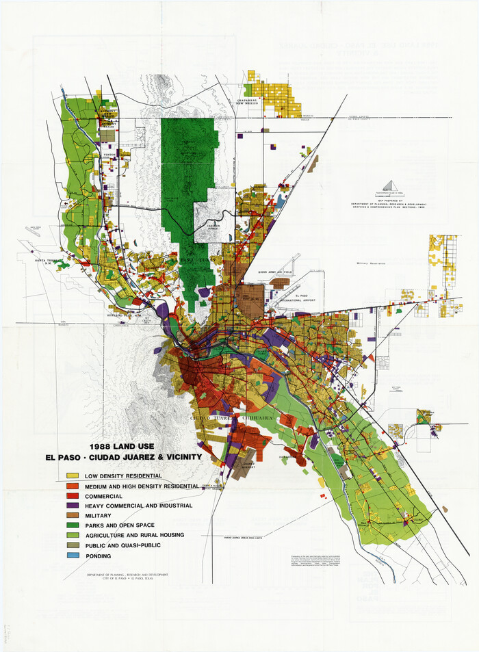
1988 Land Use - El Paso, Ciudad Juarez and Vicinity

Print $20.00
- Digital $50.00
1988 Land Use - El Paso, Ciudad Juarez and Vicinity
1988
Size: 34.2 x 25.1 inches
87369
1988 Land Use - El Paso, Ciudad Juarez and Vicinity


Print $20.00
- Digital $50.00
1988 Land Use - El Paso, Ciudad Juarez and Vicinity
1988
Size: 34.1 x 25.0 inches
87370
2008 Official Travel Map Texas


Digital $50.00
2008 Official Travel Map Texas
Size: 33.5 x 36.4 inches
94309
9th Street & Ave. A. Galveston, Texas showing beginning of jetty right of way, and seawall extension track


Print $20.00
- Digital $50.00
9th Street & Ave. A. Galveston, Texas showing beginning of jetty right of way, and seawall extension track
1920
Size: 21.3 x 33.6 inches
73630
A How to Get From Here to There Map and Water Too of Metropolitan Houston


A How to Get From Here to There Map and Water Too of Metropolitan Houston
Size: 36.6 x 25.5 inches
94361
A How to Get From Here to There Map and Water Too of Metropolitan Houston
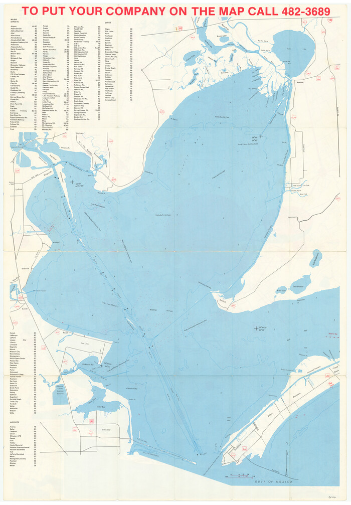

A How to Get From Here to There Map and Water Too of Metropolitan Houston
Size: 36.7 x 25.5 inches
94362
A Pocket Guide to Austin, Texas - Area Map and Downtown Map
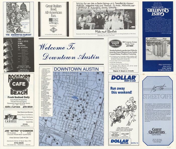

A Pocket Guide to Austin, Texas - Area Map and Downtown Map
Size: 17.0 x 20.1 inches
94385
A Pocket Guide to Austin, Texas - Area Map and Downtown Map


A Pocket Guide to Austin, Texas - Area Map and Downtown Map
Size: 17.2 x 20.2 inches
94386
A Topographical Map of The Government Tract Adjoining the City of Austin


Print $20.00
- Digital $50.00
A Topographical Map of The Government Tract Adjoining the City of Austin
1840
Size: 44.5 x 36.0 inches
82031
A Topographical Map of the City of Austin


Print $20.00
- Digital $50.00
A Topographical Map of the City of Austin
1872
Size: 21.0 x 14.7 inches
4821
A Topographical Map of the City of Austin
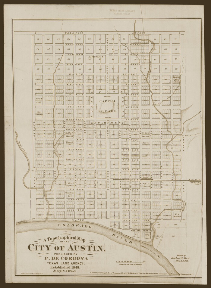

Print $20.00
- Digital $50.00
A Topographical Map of the City of Austin
1872
Size: 20.6 x 15.1 inches
93685
A Topographical Map of the Government Tract Adjoining the City of Austin


Print $20.00
- Digital $50.00
A Topographical Map of the Government Tract Adjoining the City of Austin
1840
Size: 40.7 x 36.1 inches
2177
A Topographical Map of the Government Tract Adjoining the City of Austin


Print $20.00
- Digital $50.00
A Topographical Map of the Government Tract Adjoining the City of Austin
1840
Size: 44.1 x 38.4 inches
2178
A Topographical Map of the Government Tract Adjoining the City of Austin


Print $20.00
- Digital $50.00
A Topographical Map of the Government Tract Adjoining the City of Austin
1840
Size: 41.8 x 37.5 inches
4833
A Topographical Map of the Government Tract Adjoining the City of Austin


Print $20.00
- Digital $50.00
A Topographical Map of the Government Tract Adjoining the City of Austin
1840
Size: 41.9 x 37.4 inches
4842
A Topographical Map of the Government Tract adjoining the City of Austin


Print $20.00
- Digital $50.00
A Topographical Map of the Government Tract adjoining the City of Austin
1840
Size: 41.9 x 37.8 inches
2180
Aerial View of San Antonio de Béxar and Alamo Fortifications
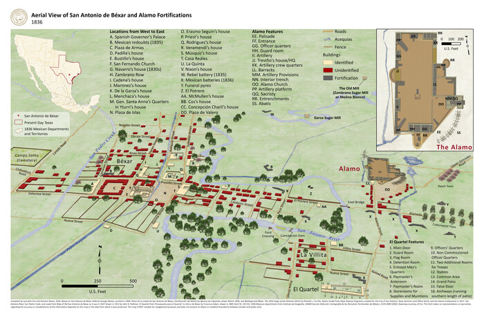

Aerial View of San Antonio de Béxar and Alamo Fortifications
2026
Size: 11.0 x 17.0 inches
97522
Aeroplane view of business district Amarillo, Texas


Print $20.00
Aeroplane view of business district Amarillo, Texas
1912
Size: 18.9 x 21.4 inches
93467
'The Cradle of Texas' - San Augustine


Print $20.00
- Digital $50.00
'The Cradle of Texas' - San Augustine
-
Size
19.3 x 25.3 inches
-
Map/Doc
94441
1910 Map of the City of Houston and vicinity


Print $20.00
- Digital $50.00
1910 Map of the City of Houston and vicinity
1910
-
Size
20.5 x 23.4 inches
-
Map/Doc
97452
-
Creation Date
1910
1968 Texas Official State Highway Map


Digital $50.00
1968 Texas Official State Highway Map
-
Size
28.1 x 36.5 inches
-
Map/Doc
94319
1988 Land Use - El Paso, Ciudad Juarez and Vicinity


Print $20.00
- Digital $50.00
1988 Land Use - El Paso, Ciudad Juarez and Vicinity
1988
-
Size
34.2 x 25.1 inches
-
Map/Doc
87369
-
Creation Date
1988
1988 Land Use - El Paso, Ciudad Juarez and Vicinity


Print $20.00
- Digital $50.00
1988 Land Use - El Paso, Ciudad Juarez and Vicinity
1988
-
Size
34.1 x 25.0 inches
-
Map/Doc
87370
-
Creation Date
1988
2008 Official Travel Map Texas


Digital $50.00
2008 Official Travel Map Texas
-
Size
33.5 x 36.4 inches
-
Map/Doc
94309
2008 Official Travel Map, Texas


2008 Official Travel Map, Texas
-
Size
33.4 x 36.5 inches
-
Map/Doc
94343
2016 Official Travel Map, Texas


2016 Official Travel Map, Texas
-
Size
33.3 x 36.2 inches
-
Map/Doc
94297
2017 Official Travel Map, Texas


2017 Official Travel Map, Texas
2017
-
Size
33.6 x 36.4 inches
-
Map/Doc
94415
-
Creation Date
2017
9th Street & Ave. A. Galveston, Texas showing beginning of jetty right of way, and seawall extension track


Print $20.00
- Digital $50.00
9th Street & Ave. A. Galveston, Texas showing beginning of jetty right of way, and seawall extension track
1920
-
Size
21.3 x 33.6 inches
-
Map/Doc
73630
-
Creation Date
1920
A How to Get From Here to There Map and Water Too of Metropolitan Houston


A How to Get From Here to There Map and Water Too of Metropolitan Houston
-
Size
36.6 x 25.5 inches
-
Map/Doc
94361
A How to Get From Here to There Map and Water Too of Metropolitan Houston


A How to Get From Here to There Map and Water Too of Metropolitan Houston
-
Size
36.7 x 25.5 inches
-
Map/Doc
94362
A Pocket Guide to Austin, Texas - Area Map and Downtown Map


A Pocket Guide to Austin, Texas - Area Map and Downtown Map
-
Size
17.0 x 20.1 inches
-
Map/Doc
94385
A Pocket Guide to Austin, Texas - Area Map and Downtown Map


A Pocket Guide to Austin, Texas - Area Map and Downtown Map
-
Size
17.2 x 20.2 inches
-
Map/Doc
94386
A Topographical Map of The Government Tract Adjoining the City of Austin


Print $20.00
- Digital $50.00
A Topographical Map of The Government Tract Adjoining the City of Austin
1840
-
Size
44.5 x 36.0 inches
-
Map/Doc
82031
-
Creation Date
1840
A Topographical Map of the City of Austin


Print $20.00
- Digital $50.00
A Topographical Map of the City of Austin
1872
-
Size
21.0 x 14.7 inches
-
Map/Doc
4821
-
Creation Date
1872
A Topographical Map of the City of Austin


Print $20.00
- Digital $50.00
A Topographical Map of the City of Austin
1872
-
Size
20.6 x 15.1 inches
-
Map/Doc
93685
-
Creation Date
1872
A Topographical Map of the Government Tract Adjoining the City of Austin


Print $20.00
- Digital $50.00
A Topographical Map of the Government Tract Adjoining the City of Austin
1840
-
Size
40.7 x 36.1 inches
-
Map/Doc
2177
-
Creation Date
1840
A Topographical Map of the Government Tract Adjoining the City of Austin


Print $20.00
- Digital $50.00
A Topographical Map of the Government Tract Adjoining the City of Austin
1840
-
Size
44.1 x 38.4 inches
-
Map/Doc
2178
-
Creation Date
1840
A Topographical Map of the Government Tract Adjoining the City of Austin


Print $20.00
- Digital $50.00
A Topographical Map of the Government Tract Adjoining the City of Austin
1840
-
Size
41.8 x 37.5 inches
-
Map/Doc
4833
-
Creation Date
1840
A Topographical Map of the Government Tract Adjoining the City of Austin


Print $20.00
- Digital $50.00
A Topographical Map of the Government Tract Adjoining the City of Austin
1840
-
Size
41.9 x 37.4 inches
-
Map/Doc
4842
-
Creation Date
1840
A Topographical Map of the Government Tract adjoining the City of Austin


Print $20.00
- Digital $50.00
A Topographical Map of the Government Tract adjoining the City of Austin
1840
-
Size
41.9 x 37.8 inches
-
Map/Doc
2180
-
Creation Date
1840
Aerial View of San Antonio de Béxar and Alamo Fortifications


Aerial View of San Antonio de Béxar and Alamo Fortifications
2026
-
Size
11.0 x 17.0 inches
-
Map/Doc
97522
-
Creation Date
2026
Aeroplane view of business district Amarillo, Texas


Print $20.00
Aeroplane view of business district Amarillo, Texas
1912
-
Size
18.9 x 21.4 inches
-
Map/Doc
93467
-
Creation Date
1912
Alvord, Texas


Print $20.00
Alvord, Texas
1890
-
Size
12.6 x 19.3 inches
-
Map/Doc
89072
-
Creation Date
1890
Alvord, Texas


Print $20.00
Alvord, Texas
1890
-
Size
14.4 x 22.8 inches
-
Map/Doc
93471
-
Creation Date
1890

