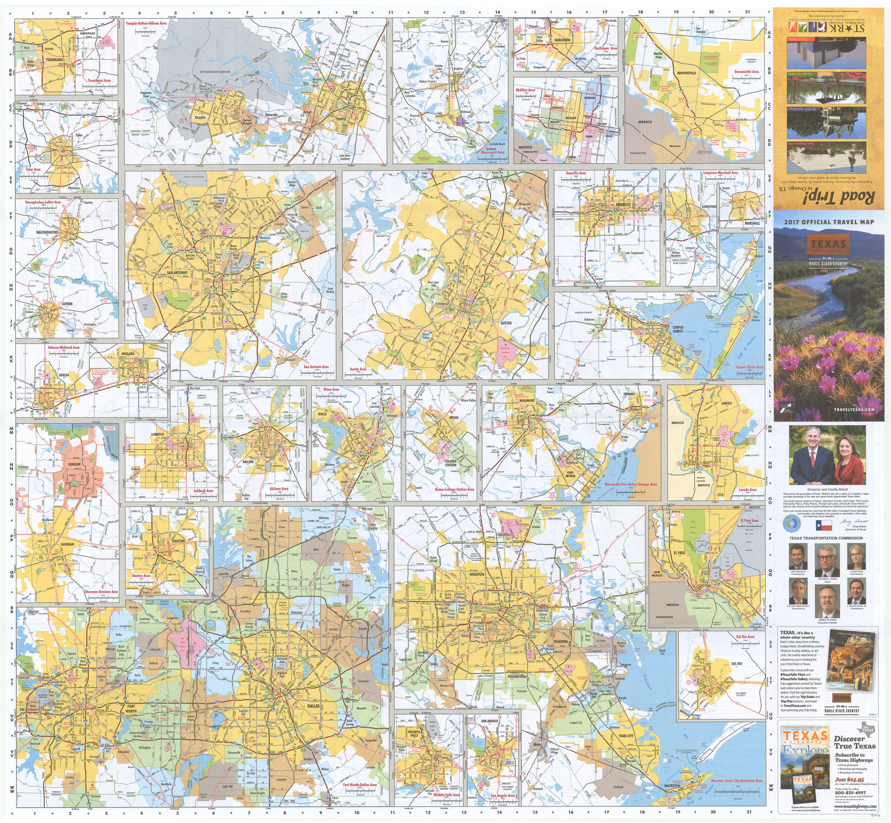
2017 Official Travel Map, Texas
[Verso - map of major Texas cities]
-
Map/Doc
94415
-
Collection
General Map Collection
-
Object Dates
1/2017 (Creation Date)
-
People and Organizations
Texas Department of Transportation (Publisher)
-
Subjects
City
-
Height x Width
33.6 x 36.4 inches
85.3 x 92.5 cm
-
Medium
paper, etching/engraving/lithograph
-
Comments
For research purposes only. A copy of this map may be obtained by visiting TravelTexas.com. For map of various major Texas cities on verso, see 94415.
Related maps
2017 Official Travel Map, Texas

2017 Official Travel Map, Texas
2017
Size 33.5 x 36.4 inches
Map/Doc 94414
Part of: General Map Collection
Mills County Boundary File 5a

Print $14.00
- Digital $50.00
Mills County Boundary File 5a
Size 14.3 x 8.6 inches
Map/Doc 57300
Edwards County Rolled Sketch 24

Print $20.00
- Digital $50.00
Edwards County Rolled Sketch 24
1953
Size 29.9 x 38.0 inches
Map/Doc 5810
Midland County Boundary File 4a

Print $40.00
- Digital $50.00
Midland County Boundary File 4a
Size 36.2 x 54.5 inches
Map/Doc 57185
Guadalupe County Sketch File 22

Print $20.00
- Digital $50.00
Guadalupe County Sketch File 22
1957
Size 16.2 x 16.5 inches
Map/Doc 11591
Bowie County Rolled Sketch 6A

Print $20.00
- Digital $50.00
Bowie County Rolled Sketch 6A
1992
Size 11.3 x 17.8 inches
Map/Doc 5162
Floyd County Working Sketch 1

Print $20.00
- Digital $50.00
Floyd County Working Sketch 1
1949
Size 24.5 x 24.1 inches
Map/Doc 69180
Map of Kendall County

Print $20.00
- Digital $50.00
Map of Kendall County
1862
Size 21.0 x 20.0 inches
Map/Doc 3754
Terrell County Working Sketch 43

Print $20.00
- Digital $50.00
Terrell County Working Sketch 43
1957
Size 45.0 x 38.4 inches
Map/Doc 62136
Scurry County Rolled Sketch 13

Print $20.00
- Digital $50.00
Scurry County Rolled Sketch 13
2002
Size 19.4 x 19.2 inches
Map/Doc 76417
Flight Mission No. DQO-8K, Frame 135, Galveston County

Print $20.00
- Digital $50.00
Flight Mission No. DQO-8K, Frame 135, Galveston County
1952
Size 18.7 x 22.5 inches
Map/Doc 85200
Fannin County Sketch File 18

Print $20.00
- Digital $50.00
Fannin County Sketch File 18
1879
Size 16.7 x 22.2 inches
Map/Doc 11472
El Paso County Rolled Sketch 52

Print $20.00
- Digital $50.00
El Paso County Rolled Sketch 52
1932
Size 18.3 x 24.3 inches
Map/Doc 5843
You may also like

Industrial - Commercial - Progressive Dallas

Industrial - Commercial - Progressive Dallas
1940
Size 19.1 x 23.7 inches
Map/Doc 96509
Edwards County Rolled Sketch 17

Print $20.00
- Digital $50.00
Edwards County Rolled Sketch 17
1945
Size 27.6 x 19.4 inches
Map/Doc 5806
Sterling County Working Sketch 8

Print $20.00
- Digital $50.00
Sterling County Working Sketch 8
1972
Size 40.7 x 35.9 inches
Map/Doc 63990
Garza County Working Sketch 16

Print $20.00
- Digital $50.00
Garza County Working Sketch 16
1994
Size 21.7 x 40.3 inches
Map/Doc 63163
Goliad County Sketch File 30

Print $40.00
- Digital $50.00
Goliad County Sketch File 30
Size 13.0 x 15.0 inches
Map/Doc 24327
Marion County Working Sketch 9

Print $20.00
- Digital $50.00
Marion County Working Sketch 9
1940
Size 23.5 x 25.5 inches
Map/Doc 70784
[Stephen F. Austin's Map of Texas]
![95825, [Stephen F. Austin's Map of Texas], Non-GLO Digital Images](https://historictexasmaps.com/wmedia_w700/maps/95825.tif.jpg)
[Stephen F. Austin's Map of Texas]
1829
Size 21.7 x 17.9 inches
Map/Doc 95825
Flight Mission No. DIX-8P, Frame 60, Aransas County

Print $20.00
- Digital $50.00
Flight Mission No. DIX-8P, Frame 60, Aransas County
1956
Size 18.5 x 22.2 inches
Map/Doc 83891
North Part Brewster Co.

Print $40.00
- Digital $50.00
North Part Brewster Co.
1914
Size 40.4 x 49.3 inches
Map/Doc 66732
[Map showing J. H. Gibson Block D]
![92016, [Map showing J. H. Gibson Block D], Twichell Survey Records](https://historictexasmaps.com/wmedia_w700/maps/92016-1.tif.jpg)
Print $20.00
- Digital $50.00
[Map showing J. H. Gibson Block D]
Size 17.8 x 15.1 inches
Map/Doc 92016
Sketch showing progress of topographical work Laguna Madre and vicinity from Rainey Is. to Baffins Bay, Coast of Texas Sect. IX [and accompanying letter]
![72957, Sketch showing progress of topographical work Laguna Madre and vicinity from Rainey Is. to Baffins Bay, Coast of Texas Sect. IX [and accompanying letter], General Map Collection](https://historictexasmaps.com/wmedia_w700/maps/72957.tif.jpg)
Print $20.00
- Digital $50.00
Sketch showing progress of topographical work Laguna Madre and vicinity from Rainey Is. to Baffins Bay, Coast of Texas Sect. IX [and accompanying letter]
1880
Size 39.2 x 18.6 inches
Map/Doc 72957