North American Territorial Claims and the Treaty of Paris

North American Territorial Claims and the Treaty of Paris
2025
Size: 11.0 x 17.0 inches
97453
The Dawn of Humans Peopling of the Americas

The Dawn of Humans Peopling of the Americas
2000
Size: 31.3 x 20.5 inches
96841

North America in the Age of Dinosaurs

North America in the Age of Dinosaurs
1993
Size: 27.4 x 20.8 inches
96831
Colonization and Trade in the New World

Colonization and Trade in the New World
1977
Size: 23.1 x 30.3 inches
96835
A Map of Lewis and Clark's Track, across the Western Portion of North America from the Mississippi to the Pacific Ocean; by order of the Executive of the United States in 1804, 5 & 6

Print $20.00
- Digital $50.00
A Map of Lewis and Clark's Track, across the Western Portion of North America from the Mississippi to the Pacific Ocean; by order of the Executive of the United States in 1804, 5 & 6
1962
Size: 11.5 x 25.1 inches
97174

Western Hemisphere

Print $20.00
- Digital $50.00
Western Hemisphere
1885
Size: 12.2 x 9.0 inches
93510
Map of North America engraved to illustrate Mitchell's new intermediate geography

Print $20.00
- Digital $50.00
Map of North America engraved to illustrate Mitchell's new intermediate geography
1885
Size: 12.2 x 9.0 inches
93512
Map exhibiting the lines of march passed over by the troops of the United States during the year ending June 30th, 1858 prepared by order of the Hon. J.B. Floyd, Sec. War.

Print $20.00
- Digital $50.00
Map exhibiting the lines of march passed over by the troops of the United States during the year ending June 30th, 1858 prepared by order of the Hon. J.B. Floyd, Sec. War.
1858
Size: 20.0 x 20.3 inches
94079
Map of North America designed to accompany Smith's Geography for Schools

Print $20.00
- Digital $50.00
Map of North America designed to accompany Smith's Geography for Schools
1850
Size: 12.0 x 9.9 inches
93883
Map of the United States, the British Provinces, Mexico &c. Showing the Routes of the U.S. Mail Steam Packets to California and a Plan of the Gold Region

Print $20.00
- Digital $50.00
Map of the United States, the British Provinces, Mexico &c. Showing the Routes of the U.S. Mail Steam Packets to California and a Plan of the Gold Region
1849
Size: 19.6 x 26.6 inches
95695
Amérique Septentrionale

Print $20.00
- Digital $50.00
Amérique Septentrionale
1845
Size: 14.2 x 21.0 inches
93780
Map of North America to illustrate Olney's school geography

Print $20.00
- Digital $50.00
Map of North America to illustrate Olney's school geography
1844
Size: 12.1 x 9.3 inches
93536
Map of North America engraved to illustrate Mitchell's school and family geography

Print $20.00
- Digital $50.00
Map of North America engraved to illustrate Mitchell's school and family geography
1839
Size: 11.8 x 9.5 inches
93493
Map of North America engraved to illustrate Mitchell's school and family geography

Print $20.00
Map of North America engraved to illustrate Mitchell's school and family geography
1839
Size: 11.3 x 8.7 inches
93552
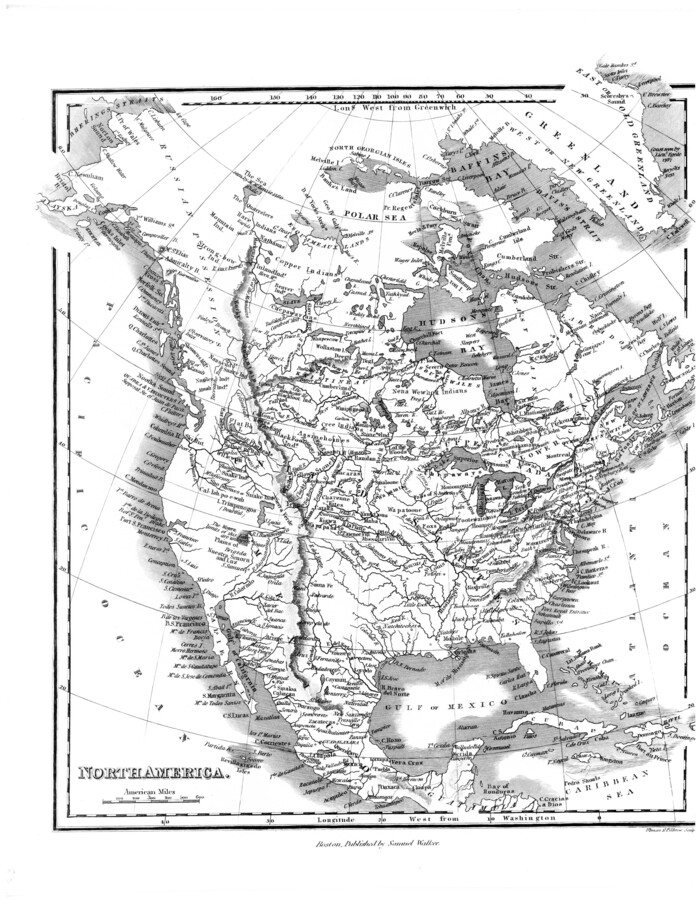
[Map of] North America
Print $3.00
- Digital $50.00
[Map of] North America
1834
Size: 11.0 x 8.5 inches
88884
Histoire de la Louisiane et de la Cession de Cette Colonie par la France aux États-Unis de l'Amérique Septentrionale

Histoire de la Louisiane et de la Cession de Cette Colonie par la France aux États-Unis de l'Amérique Septentrionale
1829
97259
A Map of North America, constructed according to the latest information

Print $40.00
- Digital $50.00
A Map of North America, constructed according to the latest information
1822
Size: 44.4 x 59.6 inches
93845
A Map of Louisiana and Mexico

Print $20.00
A Map of Louisiana and Mexico
1820
Size: 43.0 x 32.6 inches
76218
Travels to the source of the Missouri River and across the American Continent to the Pacific Ocean - Vol. 1

Travels to the source of the Missouri River and across the American Continent to the Pacific Ocean - Vol. 1
1815
97411
Travels to the source of the Missouri River and across the American Continent to the Pacific Ocean - Vol. 2

Travels to the source of the Missouri River and across the American Continent to the Pacific Ocean - Vol. 2
1815
97413
Travels to the source of the Missouri River and across the American Continent to the Pacific Ocean - Vol. 3

Travels to the source of the Missouri River and across the American Continent to the Pacific Ocean - Vol. 3
1815
97414
Spanish North America

Print $20.00
- Digital $50.00
Spanish North America
1814
Size: 21.9 x 29.8 inches
89224
A map of Lewis and Clark's track across the western portion of North America from the Mississippi to the Pacific Ocean, by Order of the executive of the United States in 1804, 5, & 6

Print $20.00
- Digital $50.00
A map of Lewis and Clark's track across the western portion of North America from the Mississippi to the Pacific Ocean, by Order of the executive of the United States in 1804, 5, & 6
1814
Size: 13.3 x 27.9 inches
97412
North American Territorial Claims and the Treaty of Paris
North American Territorial Claims and the Treaty of Paris
2025
-
Size
11.0 x 17.0 inches
-
Map/Doc
97453
-
Creation Date
2025
The Dawn of Humans Peopling of the Americas
The Dawn of Humans Peopling of the Americas
2000
-
Size
31.3 x 20.5 inches
-
Map/Doc
96841
-
Creation Date
2000
North America in the Age of Dinosaurs
North America in the Age of Dinosaurs
1993
-
Size
27.4 x 20.8 inches
-
Map/Doc
96831
-
Creation Date
1993
Colonization and Trade in the New World
Colonization and Trade in the New World
1977
-
Size
23.1 x 30.3 inches
-
Map/Doc
96835
-
Creation Date
1977
A Map of Lewis and Clark's Track, across the Western Portion of North America from the Mississippi to the Pacific Ocean; by order of the Executive of the United States in 1804, 5 & 6
Print $20.00
- Digital $50.00
A Map of Lewis and Clark's Track, across the Western Portion of North America from the Mississippi to the Pacific Ocean; by order of the Executive of the United States in 1804, 5 & 6
1962
-
Size
11.5 x 25.1 inches
-
Map/Doc
97174
-
Creation Date
1962
Western Hemisphere
Print $20.00
- Digital $50.00
Western Hemisphere
1885
-
Size
12.2 x 9.0 inches
-
Map/Doc
93510
-
Creation Date
1885
Map of North America engraved to illustrate Mitchell's new intermediate geography
Print $20.00
- Digital $50.00
Map of North America engraved to illustrate Mitchell's new intermediate geography
1885
-
Size
12.2 x 9.0 inches
-
Map/Doc
93512
-
Creation Date
1885
Map exhibiting the lines of march passed over by the troops of the United States during the year ending June 30th, 1858 prepared by order of the Hon. J.B. Floyd, Sec. War.
Print $20.00
- Digital $50.00
Map exhibiting the lines of march passed over by the troops of the United States during the year ending June 30th, 1858 prepared by order of the Hon. J.B. Floyd, Sec. War.
1858
-
Size
20.0 x 20.3 inches
-
Map/Doc
94079
-
Creation Date
1858
Map of North America designed to accompany Smith's Geography for Schools
Print $20.00
- Digital $50.00
Map of North America designed to accompany Smith's Geography for Schools
1850
-
Size
12.0 x 9.9 inches
-
Map/Doc
93883
-
Creation Date
1850
North America

Print $3.00
- Digital $50.00
North America
1850
-
Size
15.1 x 11.3 inches
-
Map/Doc
95365
-
Creation Date
1850
Map of the United States, the British Provinces, Mexico &c. Showing the Routes of the U.S. Mail Steam Packets to California and a Plan of the Gold Region
Print $20.00
- Digital $50.00
Map of the United States, the British Provinces, Mexico &c. Showing the Routes of the U.S. Mail Steam Packets to California and a Plan of the Gold Region
1849
-
Size
19.6 x 26.6 inches
-
Map/Doc
95695
-
Creation Date
1849
Amérique Septentrionale
Print $20.00
- Digital $50.00
Amérique Septentrionale
1845
-
Size
14.2 x 21.0 inches
-
Map/Doc
93780
-
Creation Date
1845
Amérique Septentrionale

Print $20.00
Amérique Septentrionale
1845
-
Size
13.8 x 20.3 inches
-
Map/Doc
94571
-
Creation Date
1845
Map of North America to illustrate Olney's school geography
Print $20.00
- Digital $50.00
Map of North America to illustrate Olney's school geography
1844
-
Size
12.1 x 9.3 inches
-
Map/Doc
93536
-
Creation Date
1844
North America

Print $20.00
- Digital $50.00
North America
1843
-
Size
16.7 x 13.7 inches
-
Map/Doc
95366
-
Creation Date
1843
Map of America

Print $20.00
- Digital $50.00
Map of America
1841
-
Size
21.6 x 24.9 inches
-
Map/Doc
95150
-
Creation Date
1841
Map of North America engraved to illustrate Mitchell's school and family geography
Print $20.00
- Digital $50.00
Map of North America engraved to illustrate Mitchell's school and family geography
1839
-
Size
11.8 x 9.5 inches
-
Map/Doc
93493
-
Creation Date
1839
Map of North America engraved to illustrate Mitchell's school and family geography
Print $20.00
Map of North America engraved to illustrate Mitchell's school and family geography
1839
-
Size
11.3 x 8.7 inches
-
Map/Doc
93552
-
Creation Date
1839
[Map of] North America
Print $3.00
- Digital $50.00
[Map of] North America
1834
-
Size
11.0 x 8.5 inches
-
Map/Doc
88884
-
Creation Date
1834
Histoire de la Louisiane et de la Cession de Cette Colonie par la France aux États-Unis de l'Amérique Septentrionale
Histoire de la Louisiane et de la Cession de Cette Colonie par la France aux États-Unis de l'Amérique Septentrionale
1829
-
Map/Doc
97259
-
Creation Date
1829
North America

Print $20.00
- Digital $50.00
North America
1823
-
Size
21.9 x 25.6 inches
-
Map/Doc
93842
-
Creation Date
1823
A Map of North America, constructed according to the latest information
Print $40.00
- Digital $50.00
A Map of North America, constructed according to the latest information
1822
-
Size
44.4 x 59.6 inches
-
Map/Doc
93845
-
Creation Date
1822
A Map of Louisiana and Mexico
Print $20.00
A Map of Louisiana and Mexico
1820
-
Size
43.0 x 32.6 inches
-
Map/Doc
76218
-
Creation Date
1820
Travels to the source of the Missouri River and across the American Continent to the Pacific Ocean - Vol. 1
Travels to the source of the Missouri River and across the American Continent to the Pacific Ocean - Vol. 1
1815
-
Map/Doc
97411
-
Creation Date
1815
Travels to the source of the Missouri River and across the American Continent to the Pacific Ocean - Vol. 2
Travels to the source of the Missouri River and across the American Continent to the Pacific Ocean - Vol. 2
1815
-
Map/Doc
97413
-
Creation Date
1815
Travels to the source of the Missouri River and across the American Continent to the Pacific Ocean - Vol. 3
Travels to the source of the Missouri River and across the American Continent to the Pacific Ocean - Vol. 3
1815
-
Map/Doc
97414
-
Creation Date
1815
Spanish North America
Print $20.00
- Digital $50.00
Spanish North America
1814
-
Size
21.9 x 29.8 inches
-
Map/Doc
89224
-
Creation Date
1814
A map of Lewis and Clark's track across the western portion of North America from the Mississippi to the Pacific Ocean, by Order of the executive of the United States in 1804, 5, & 6
Print $20.00
- Digital $50.00
A map of Lewis and Clark's track across the western portion of North America from the Mississippi to the Pacific Ocean, by Order of the executive of the United States in 1804, 5, & 6
1814
-
Size
13.3 x 27.9 inches
-
Map/Doc
97412
-
Creation Date
1814