126 results

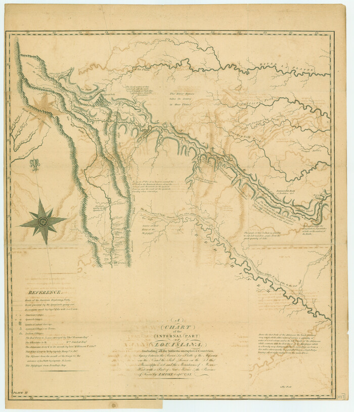
A Chart of the Internal Part of Louisiana
79310.tif
Print $20.00

A Chart of the Internal Part of Louisiana

1807

Size: 19.2 x 16.5 inches
79310
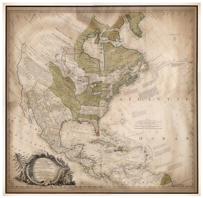
A General Map of North America drawn from the best surveys
93944.tif
Print $20.00 - Digital $50.00

A General Map of North America drawn from the best surveys

1795
93944
A General Map of North America; In which is Express'd the several New Roads, Forts, Engagements, & c. taken from Actual Surveys and Observations Made in the Army employ'd there
93827.tif
Print $20.00 - Digital $50.00

A General Map of North America; In which is Express'd the several New Roads, Forts, Engagements, & c. taken from Actual Surveys and Observations Made in the Army employ'd there

1761

Size: 37.6 x 38.6 inches
93827
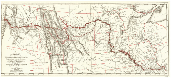
A Map of Lewis and Clark's Track, across the Western Portion of North America from the Mississippi to the Pacific Ocean; by order of the Executive of the United States in 1804, 5 & 6
97174.tif
Print $20.00 - Digital $50.00

A Map of Lewis and Clark's Track, across the Western Portion of North America from the Mississippi to the Pacific Ocean; by order of the Executive of the United States in 1804, 5 & 6

1962

Size: 11.5 x 25.1 inches
97174
A Map of Louisiana and Mexico
76218.tif
Print $20.00

A Map of Louisiana and Mexico

1820

Size: 43.0 x 32.6 inches
76218
A Map of North America, constructed according to the latest information
93845-1.tif
Print $40.00 - Digital $50.00

A Map of North America, constructed according to the latest information

1822
Size: 44.4 x 59.6 inches
93845
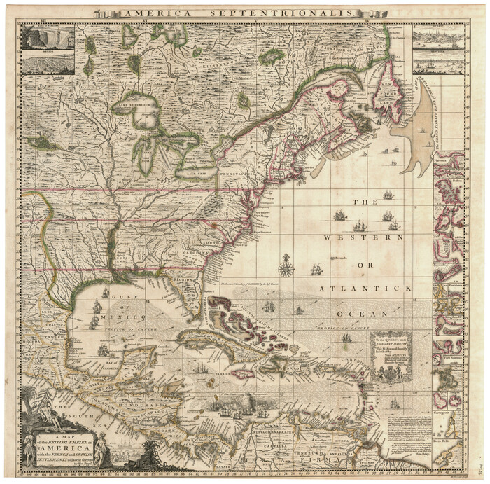
A Map of the British Empire in America with the French and Spanish Settlements adjacent thereto
95704-1.tif
Print $20.00 - Digital $50.00

A Map of the British Empire in America with the French and Spanish Settlements adjacent thereto

Size: 20.7 x 20.6 inches
95704
A Map of the British Empire in North America
93733.tif
Print $20.00 - Digital $50.00

A Map of the British Empire in North America

1774
Size: 22.1 x 15.1 inches
93733
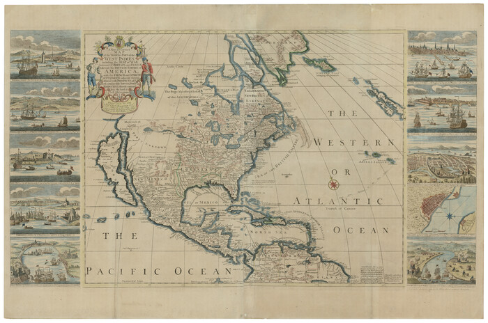
A New & Correct Map of the Trading Part of the West Indies, including the Seat of War between Gr. Britain and France Likewise the British Empire in America, with the French and Spanish Settlements adjacent thereto
93826.tif
Print $20.00 - Digital $50.00

A New & Correct Map of the Trading Part of the West Indies, including the Seat of War between Gr. Britain and France Likewise the British Empire in America, with the French and Spanish Settlements adjacent thereto

1759
Size: 27.4 x 41.4 inches
93826
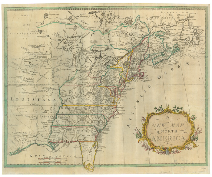
A New Map of North America
95141.tif
Print $20.00 - Digital $50.00

A New Map of North America

Size: 18.5 x 22.2 inches
95141
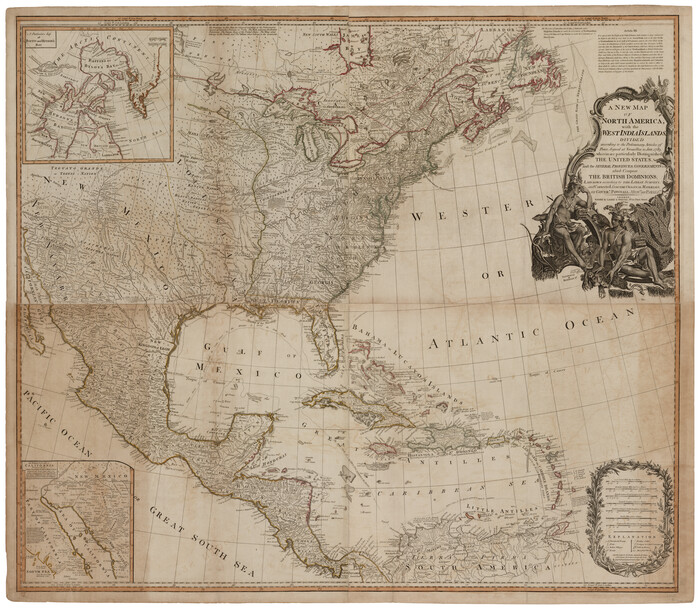
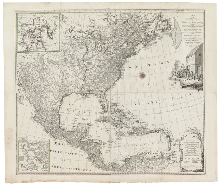
A New Map of North America with the West India Islands divided according to the preliminary Articles of Peace, signed at Versailles, 20 Jan. 1783
93734.tif
Print $40.00 - Digital $50.00

A New Map of North America with the West India Islands divided according to the preliminary Articles of Peace, signed at Versailles, 20 Jan. 1783

1794

Size: 42.1 x 48.4 inches
93734
A New Map of the Whole Continent of America. Divided into North and South and West Indies, wherein are exactly decribed the United States of North America as well as the Several European Possessions according to the Preliminaries of Peace…
95135.tif
Print $40.00 - Digital $50.00

A New Map of the Whole Continent of America. Divided into North and South and West Indies, wherein are exactly decribed the United States of North America as well as the Several European Possessions according to the Preliminaries of Peace…

Size: 22.0 x 48.3 inches
95135
A New Map of the Whole Continent of America. Divided into North and South and West Indies, wherein are exactly decribed the United States of North America as well as the Several European Possessions according to the Preliminaries of Peace…
95136.tif
Print $40.00 - Digital $50.00

A New Map of the Whole Continent of America. Divided into North and South and West Indies, wherein are exactly decribed the United States of North America as well as the Several European Possessions according to the Preliminaries of Peace…

Size: 22.0 x 48.7 inches
95136
A New Map of the Whole Continent of America. Divided into North and South and West Indies, wherein are exactly decribed the United States of North America as well as the Several European Possessions according to the Preliminaries of Peace…
95137.tif
Print $40.00 - Digital $50.00

A New Map of the Whole Continent of America. Divided into North and South and West Indies, wherein are exactly decribed the United States of North America as well as the Several European Possessions according to the Preliminaries of Peace…

Size: 42.8 x 48.8 inches
95137
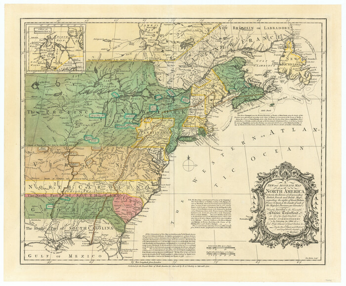
A New Map of ye North Parts of America according to the division thereof by the Articles of Peace in 1763
95280.tif
Print $20.00

A New Map of ye North Parts of America according to the division thereof by the Articles of Peace in 1763

1763

Size: 8.5 x 11.3 inches
95280
A New Map, or Chart in Mercators Projection, of the Western or Atlantic Ocean, with part of Europe, Africa and America
95368.tif
Print $20.00 - Digital $50.00

A New Map, or Chart in Mercators Projection, of the Western or Atlantic Ocean, with part of Europe, Africa and America

1781
Size: 17.3 x 21.7 inches
95368
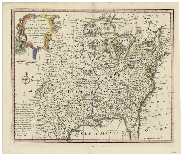
A New and Accurate Map of Louisiana with parts of Florida and Canada and the Adjacent Countries
93680.tif
Print $20.00 - Digital $50.00

A New and Accurate Map of Louisiana with parts of Florida and Canada and the Adjacent Countries

1747
Size: 15.8 x 18.6 inches
93680
A New and Correct Map of North America, with the West India Islands
93828.tif
Print $20.00 - Digital $50.00

A New and Correct Map of North America, with the West India Islands

1784

Size: 44.0 x 52.2 inches
93828
A New, Plaine, and Exact map of America : described by N.I. Visscher, and don into English, enlarged, and corrected, according to I. Blaeu, with the habits of the countries, and the manner of the cheife Citties, the like never before
96787.tif
Print $20.00 - Digital $50.00

A New, Plaine, and Exact map of America : described by N.I. Visscher, and don into English, enlarged, and corrected, according to I. Blaeu, with the habits of the countries, and the manner of the cheife Citties, the like never before

1658

Size: 16.4 x 20.9 inches
96787
America
93811.tif
Print $20.00 - Digital $50.00

America

1607

Size: 18.1 x 21.3 inches
93811
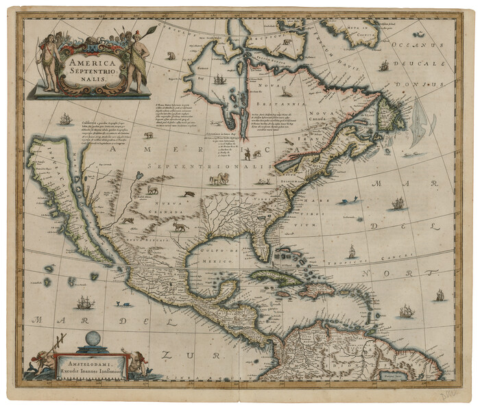
America Septentrionalis
93817.tif
Print $20.00 - Digital $50.00

America Septentrionalis

1646

Size: 20.0 x 23.4 inches
93817
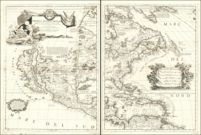
America Settentrionale Colle Nuoue Scoperte fin all' Anno 1688
96506.tif
Print $20.00 - Digital $50.00

America Settentrionale Colle Nuoue Scoperte fin all' Anno 1688

1688
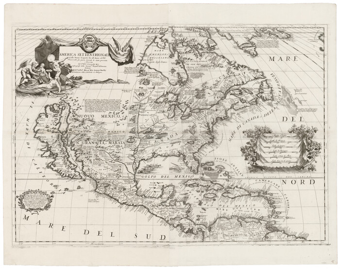
Size: 25.4 x 37.6 inches
96506
America Settentrionale colle nuove scoperte fin all’anno 1688
93709.tif
Print $20.00 - Digital $50.00

America Settentrionale colle nuove scoperte fin all’anno 1688

1688

Size: 29.7 x 37.5 inches
93709
America siue India Nova ad magnae Gerardi Mercatoris aui Vniversalis imitationem in compendium redacta
93807.tif
Print $20.00 - Digital $50.00

America siue India Nova ad magnae Gerardi Mercatoris aui Vniversalis imitationem in compendium redacta

1595

Size: 18.3 x 21.6 inches
93807
America siue India Nova ad magnae Gerardi Mercatoris aui Vniversalis imitationem in compendium redacta
93808.tif
Print $20.00 - Digital $50.00

America siue India Nova ad magnae Gerardi Mercatoris aui Vniversalis imitationem in compendium redacta

1585

Size: 16.9 x 20.2 inches
93808
America sive novvs orbis respectv evropaeorvm inferior globi terrestris pars 1596
93809.tif
Print $20.00 - Digital $50.00

America sive novvs orbis respectv evropaeorvm inferior globi terrestris pars 1596

1596

Size: 14.7 x 18.1 inches
93809
America with those known parts in that unknowne worlde both people and manner of buildings
93816.tif
Print $20.00 - Digital $50.00

America with those known parts in that unknowne worlde both people and manner of buildings

1626

Size: 17.1 x 22.2 inches
93816
America with those known parts in that unknowne worlde both people and manner of buildings
93830.tif
Print $20.00 - Digital $50.00

America with those known parts in that unknowne worlde both people and manner of buildings

1626

Size: 17.2 x 22.3 inches
93830
Americae Nova Descriptio
95370.tif
Print $20.00 - Digital $50.00

Americae Nova Descriptio

1652

Size: 19.7 x 23.5 inches
95370
Americae Nova Descriptio
95708.tif
Print $20.00 - Digital $50.00

Americae Nova Descriptio

Size: 14.5 x 18.0 inches
95708
A Chart of the Internal Part of Louisiana
79310, A Chart of the Internal Part of Louisiana, Texas State Library and Archives
Print $20.00

A Chart of the Internal Part of Louisiana

1807

  • Size

    19.2 x 16.5 inches

  • Map/Doc

    79310

  • Creation Date

    1807

A General Map of North America drawn from the best surveys
93944, A General Map of North America drawn from the best surveys, General Map Collection
Print $20.00 - Digital $50.00

A General Map of North America drawn from the best surveys

1795

  • Map/Doc

    93944

  • Creation Date

    1795

A General Map of North America; In which is Express'd the several New Roads, Forts, Engagements, & c. taken from Actual Surveys and Observations Made in the Army employ'd there
93827, A General Map of North America; In which is Express'd the several New Roads, Forts, Engagements, & c. taken from Actual Surveys and Observations Made in the Army employ'd there, Holcomb Digital Map Collection
Print $20.00 - Digital $50.00

A General Map of North America; In which is Express'd the several New Roads, Forts, Engagements, & c. taken from Actual Surveys and Observations Made in the Army employ'd there

1761

  • Size

    37.6 x 38.6 inches

  • Map/Doc

    93827

  • Creation Date

    1761

A Map of Lewis and Clark's Track, across the Western Portion of North America from the Mississippi to the Pacific Ocean; by order of the Executive of the United States in 1804, 5 & 6
97174, A Map of Lewis and Clark's Track, across the Western Portion of North America from the Mississippi to the Pacific Ocean; by order of the Executive of the United States in 1804, 5 & 6, General Map Collection
Print $20.00 - Digital $50.00

A Map of Lewis and Clark's Track, across the Western Portion of North America from the Mississippi to the Pacific Ocean; by order of the Executive of the United States in 1804, 5 & 6

1962

  • Size

    11.5 x 25.1 inches

  • Map/Doc

    97174

  • Creation Date

    1962

A Map of Louisiana and Mexico
76218, A Map of Louisiana and Mexico, Texas State Library and Archives
Print $20.00

A Map of Louisiana and Mexico

1820

  • Size

    43.0 x 32.6 inches

  • Map/Doc

    76218

  • Creation Date

    1820

A Map of North America, constructed according to the latest information
93845, A Map of North America, constructed according to the latest information, Holcomb Digital Map Collection
Print $40.00 - Digital $50.00

A Map of North America, constructed according to the latest information

1822

  • Size

    44.4 x 59.6 inches

  • Map/Doc

    93845

  • Creation Date

    1822

A Map of the British Empire in America with the French and Spanish Settlements adjacent thereto
95704, A Map of the British Empire in America with the French and Spanish Settlements adjacent thereto, General Map Collection
Print $20.00 - Digital $50.00

A Map of the British Empire in America with the French and Spanish Settlements adjacent thereto

  • Size

    20.7 x 20.6 inches

  • Map/Doc

    95704

A Map of the British Empire in North America
93733, A Map of the British Empire in North America, General Map Collection
Print $20.00 - Digital $50.00

A Map of the British Empire in North America

1774

  • Size

    22.1 x 15.1 inches

  • Map/Doc

    93733

  • Creation Date

    1774

A New & Correct Map of the Trading Part of the West Indies, including the Seat of War between Gr. Britain and France Likewise the British Empire in America, with the French and Spanish Settlements adjacent thereto
93826, A New & Correct Map of the Trading Part of the West Indies, including the Seat of War between Gr. Britain and France Likewise the British Empire in America, with the French and Spanish Settlements adjacent thereto, Holcomb Digital Map Collection
Print $20.00 - Digital $50.00

A New & Correct Map of the Trading Part of the West Indies, including the Seat of War between Gr. Britain and France Likewise the British Empire in America, with the French and Spanish Settlements adjacent thereto

1759

  • Size

    27.4 x 41.4 inches

  • Map/Doc

    93826

  • Creation Date

    1759

A New Map of North America
95141, A New Map of North America, General Map Collection
Print $20.00 - Digital $50.00

A New Map of North America

  • Size

    18.5 x 22.2 inches

  • Map/Doc

    95141

A New Map of North America with the West India Islands divided according to the preliminary Articles of Peace, signed at Versailles, 20 Jan. 1783
93734, A New Map of North America with the West India Islands divided according to the preliminary Articles of Peace, signed at Versailles, 20 Jan. 1783, General Map Collection
Print $40.00 - Digital $50.00

A New Map of North America with the West India Islands divided according to the preliminary Articles of Peace, signed at Versailles, 20 Jan. 1783

1794

  • Size

    42.1 x 48.4 inches

  • Map/Doc

    93734

  • Creation Date

    1794

A New Map of the Whole Continent of America. Divided into North and South and West Indies, wherein are exactly decribed the United States of North America as well as the Several European Possessions according to the Preliminaries of Peace…
95135, A New Map of the Whole Continent of America. Divided into North and South and West Indies, wherein are exactly decribed the United States of North America as well as the Several European Possessions according to the Preliminaries of Peace…, General Map Collection
Print $40.00 - Digital $50.00

A New Map of the Whole Continent of America. Divided into North and South and West Indies, wherein are exactly decribed the United States of North America as well as the Several European Possessions according to the Preliminaries of Peace…

  • Size

    22.0 x 48.3 inches

  • Map/Doc

    95135

A New Map of the Whole Continent of America. Divided into North and South and West Indies, wherein are exactly decribed the United States of North America as well as the Several European Possessions according to the Preliminaries of Peace…
95136, A New Map of the Whole Continent of America. Divided into North and South and West Indies, wherein are exactly decribed the United States of North America as well as the Several European Possessions according to the Preliminaries of Peace…, General Map Collection
Print $40.00 - Digital $50.00

A New Map of the Whole Continent of America. Divided into North and South and West Indies, wherein are exactly decribed the United States of North America as well as the Several European Possessions according to the Preliminaries of Peace…

  • Size

    22.0 x 48.7 inches

  • Map/Doc

    95136

A New Map of the Whole Continent of America. Divided into North and South and West Indies, wherein are exactly decribed the United States of North America as well as the Several European Possessions according to the Preliminaries of Peace…
95137, A New Map of the Whole Continent of America. Divided into North and South and West Indies, wherein are exactly decribed the United States of North America as well as the Several European Possessions according to the Preliminaries of Peace…, General Map Collection
Print $40.00 - Digital $50.00

A New Map of the Whole Continent of America. Divided into North and South and West Indies, wherein are exactly decribed the United States of North America as well as the Several European Possessions according to the Preliminaries of Peace…

  • Size

    42.8 x 48.8 inches

  • Map/Doc

    95137

A New Map of ye North Parts of America according to the division thereof by the Articles of Peace in 1763
95280, A New Map of ye North Parts of America according to the division thereof by the Articles of Peace in 1763, Non-GLO Digital Images
Print $20.00

A New Map of ye North Parts of America according to the division thereof by the Articles of Peace in 1763

1763

  • Size

    8.5 x 11.3 inches

  • Map/Doc

    95280

  • Creation Date

    1763

A New Map, or Chart in Mercators Projection, of the Western or Atlantic Ocean, with part of Europe, Africa and America
95368, A New Map, or Chart in Mercators Projection, of the Western or Atlantic Ocean, with part of Europe, Africa and America, General Map Collection
Print $20.00 - Digital $50.00

A New Map, or Chart in Mercators Projection, of the Western or Atlantic Ocean, with part of Europe, Africa and America

1781

  • Size

    17.3 x 21.7 inches

  • Map/Doc

    95368

  • Creation Date

    1781

A New and Accurate Map of Louisiana with parts of Florida and Canada and the Adjacent Countries
93680, A New and Accurate Map of Louisiana with parts of Florida and Canada and the Adjacent Countries, General Map Collection
Print $20.00 - Digital $50.00

A New and Accurate Map of Louisiana with parts of Florida and Canada and the Adjacent Countries

1747

  • Size

    15.8 x 18.6 inches

  • Map/Doc

    93680

  • Creation Date

    1747

A New and Correct Map of North America, with the West India Islands
93828, A New and Correct Map of North America, with the West India Islands, Holcomb Digital Map Collection
Print $20.00 - Digital $50.00

A New and Correct Map of North America, with the West India Islands

1784

  • Size

    44.0 x 52.2 inches

  • Map/Doc

    93828

  • Creation Date

    1784

A New, Plaine, and Exact map of America : described by N.I. Visscher, and don into English, enlarged, and corrected, according to I. Blaeu, with the habits of the countries, and the manner of the cheife Citties, the like never before
Print $20.00 - Digital $50.00

A New, Plaine, and Exact map of America : described by N.I. Visscher, and don into English, enlarged, and corrected, according to I. Blaeu, with the habits of the countries, and the manner of the cheife Citties, the like never before

1658

  • Size

    16.4 x 20.9 inches

  • Map/Doc

    96787

  • Creation Date

    1658

America
93811, America, Holcomb Digital Map Collection
Print $20.00 - Digital $50.00

America

1607

  • Size

    18.1 x 21.3 inches

  • Map/Doc

    93811

  • Creation Date

    1607

America Septentrionalis
93817, America Septentrionalis, Holcomb Digital Map Collection
Print $20.00 - Digital $50.00

America Septentrionalis

1646

  • Size

    20.0 x 23.4 inches

  • Map/Doc

    93817

  • Creation Date

    1646

America Settentrionale Colle Nuoue Scoperte fin all' Anno 1688
96506, America Settentrionale Colle Nuoue Scoperte sin all' Anno 1688, Holcomb Digital Map Collection
Print $20.00 - Digital $50.00

America Settentrionale Colle Nuoue Scoperte fin all' Anno 1688

1688

  • Size

    25.4 x 37.6 inches

  • Map/Doc

    96506

  • Creation Date

    1688

America Settentrionale colle nuove scoperte fin all’anno 1688
93709, America Settentrionale Colle Nuoue Scoperte sin all Anno 1688, General Map Collection
Print $20.00 - Digital $50.00

America Settentrionale colle nuove scoperte fin all’anno 1688

1688

  • Size

    29.7 x 37.5 inches

  • Map/Doc

    93709

  • Creation Date

    1688

America siue India Nova ad magnae Gerardi Mercatoris aui Vniversalis imitationem in compendium redacta
93807, America siue India Nova ad magnae Gerardi Mercatoris aui Vniversalis imitationem in compendium redacta, Holcomb Digital Map Collection
Print $20.00 - Digital $50.00

America siue India Nova ad magnae Gerardi Mercatoris aui Vniversalis imitationem in compendium redacta

1595

  • Size

    18.3 x 21.6 inches

  • Map/Doc

    93807

  • Creation Date

    1595

America siue India Nova ad magnae Gerardi Mercatoris aui Vniversalis imitationem in compendium redacta
93808, America siue India Nova ad magnae Gerardi Mercatoris aui Vniversalis imitationem in compendium redacta, Holcomb Digital Map Collection
Print $20.00 - Digital $50.00

America siue India Nova ad magnae Gerardi Mercatoris aui Vniversalis imitationem in compendium redacta

1585

  • Size

    16.9 x 20.2 inches

  • Map/Doc

    93808

  • Creation Date

    1585

America sive novvs orbis respectv evropaeorvm inferior globi terrestris pars 1596
93809, America sive novvs orbis respectv evropaeorvm inferior globi terrestris pars 1596, Holcomb Digital Map Collection
Print $20.00 - Digital $50.00

America sive novvs orbis respectv evropaeorvm inferior globi terrestris pars 1596

1596

  • Size

    14.7 x 18.1 inches

  • Map/Doc

    93809

  • Creation Date

    1596

America with those known parts in that unknowne worlde both people and manner of buildings
93816, America with those known parts in that unknowne worlde both people and manner of buildings, Holcomb Digital Map Collection
Print $20.00 - Digital $50.00

America with those known parts in that unknowne worlde both people and manner of buildings

1626

  • Size

    17.1 x 22.2 inches

  • Map/Doc

    93816

  • Creation Date

    1626

America with those known parts in that unknowne worlde both people and manner of buildings
93830, America with those known parts in that unknowne worlde both people and manner of buildings, Holcomb Digital Map Collection
Print $20.00 - Digital $50.00

America with those known parts in that unknowne worlde both people and manner of buildings

1626

  • Size

    17.2 x 22.3 inches

  • Map/Doc

    93830

  • Creation Date

    1626

Americae Nova Descriptio
95370, Americae Nova Descriptio, Holcomb Digital Map Collection
Print $20.00 - Digital $50.00

Americae Nova Descriptio

1652

  • Size

    19.7 x 23.5 inches

  • Map/Doc

    95370

  • Creation Date

    1652

Americae Nova Descriptio
95708, Americae Nova Descriptio, General Map Collection
Print $20.00 - Digital $50.00

Americae Nova Descriptio

  • Size

    14.5 x 18.0 inches

  • Map/Doc

    95708