
Recharge zone of the Edwards Aquifer hydrologically associated with Barton Springs in the Austin Area, Texas
1986

Amistad International Reservoir on Rio Grande Key Sheet
1960
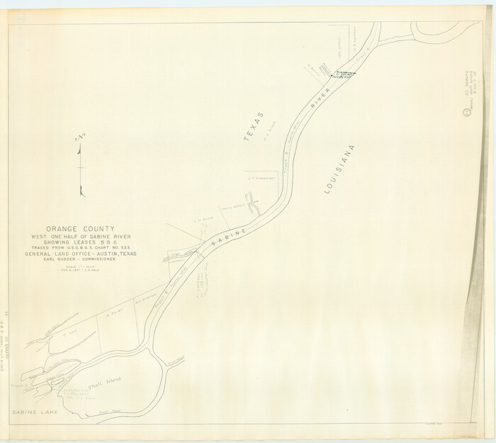
Orange County, West Half of Sabine River Showing Leases 5 and 6
1957
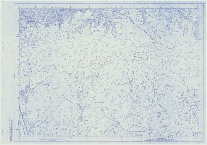
Amistad International Reservoir on Rio Grande 100
1950

Trinity River, Map of J. B. Bradley's Levee in Valley of Cummins Creek about 2 1/2 Miles South of Rice Showing Proposed Change of Location
1950
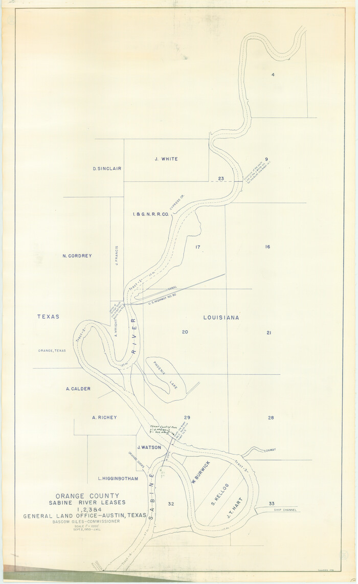
Orange County Sabine River Leases 1,2,3,4
1950
Amistad International Reservoir on Rio Grande 61
1949
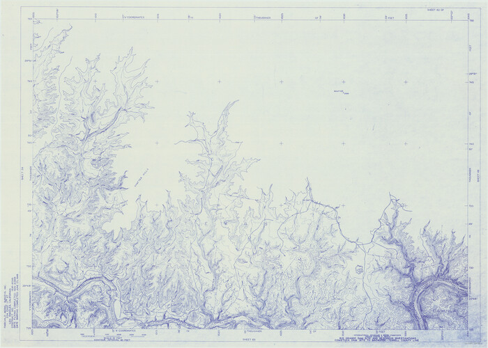
Amistad International Reservoir on Rio Grande 62
1949
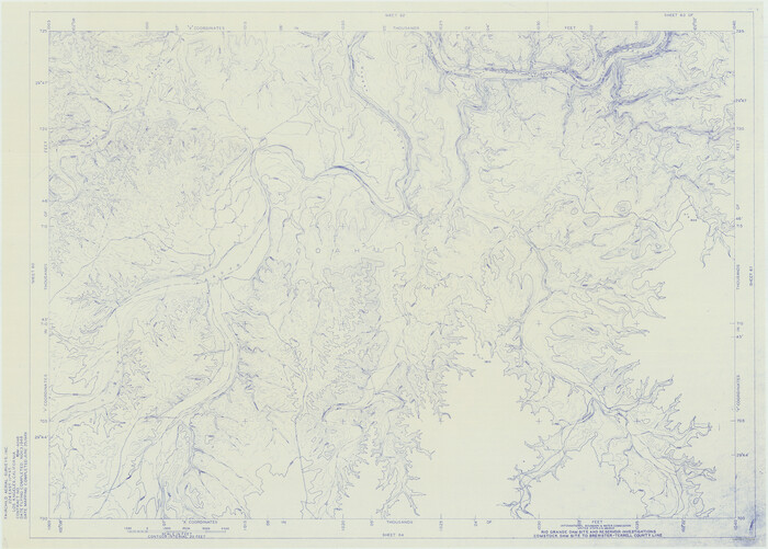
Amistad International Reservoir on Rio Grande 63
1949
Amistad International Reservoir on Rio Grande 64
1949
Amistad International Reservoir on Rio Grande 65
1949

Amistad International Reservoir on Rio Grande 66
1949
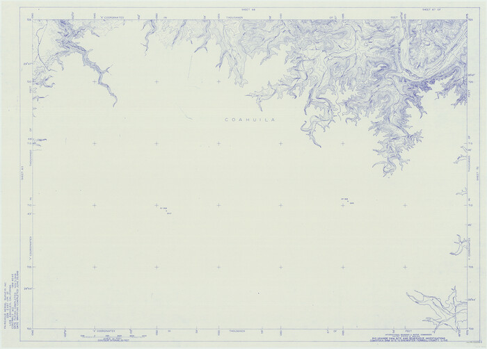
Amistad International Reservoir on Rio Grande 67
1949
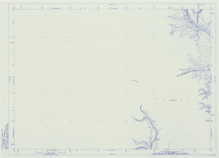
Amistad International Reservoir on Rio Grande 68
1949

Amistad International Reservoir on Rio Grande 68a
1949
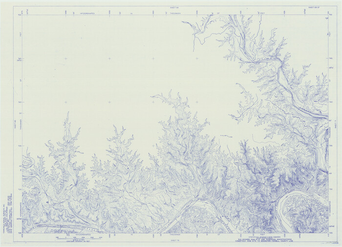
Amistad International Reservoir on Rio Grande 69
1949

Amistad International Reservoir on Rio Grande 70
1949

Amistad International Reservoir on Rio Grande 70a
1949
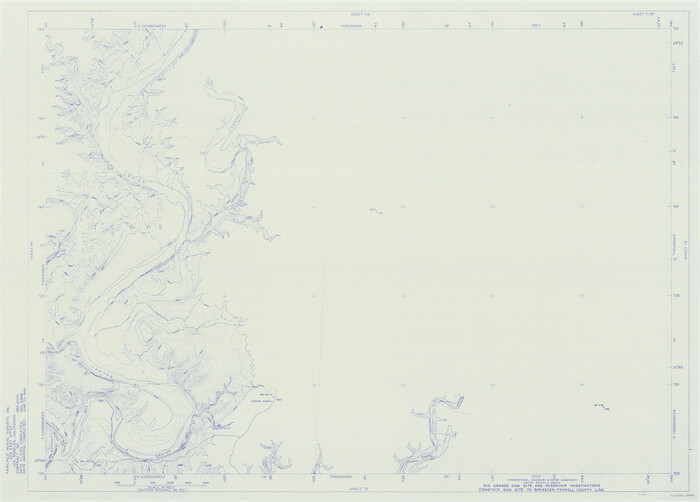
Amistad International Reservoir on Rio Grande 71
1949

Amistad International Reservoir on Rio Grande 71a
1949
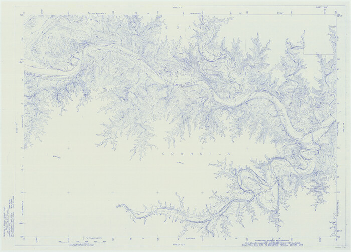
Amistad International Reservoir on Rio Grande 72
1949

Amistad International Reservoir on Rio Grande 72a
1949
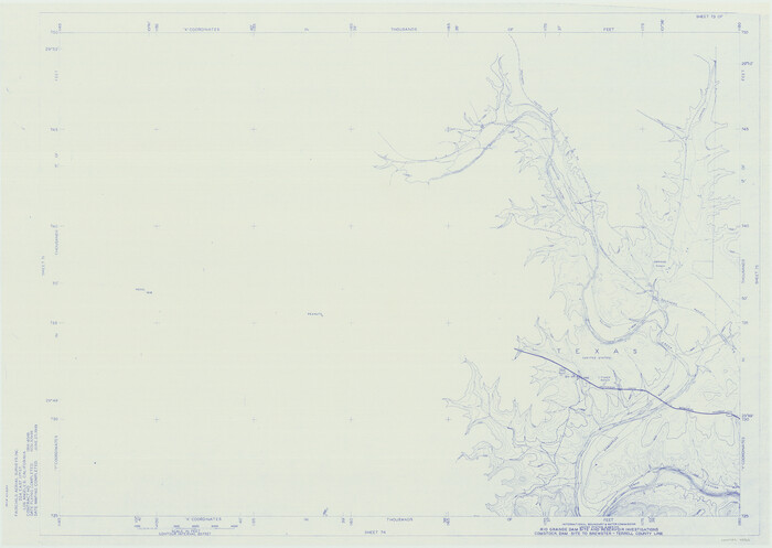
Amistad International Reservoir on Rio Grande 73
1949
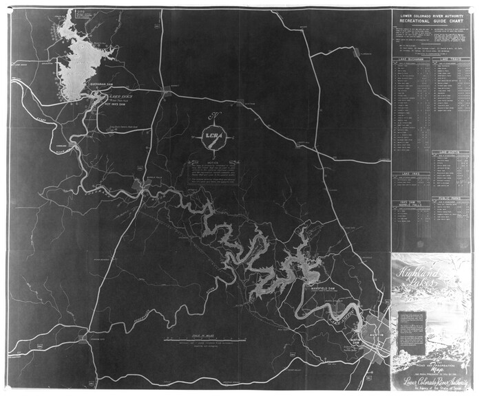
Highland Lakes of Central Texas
1947
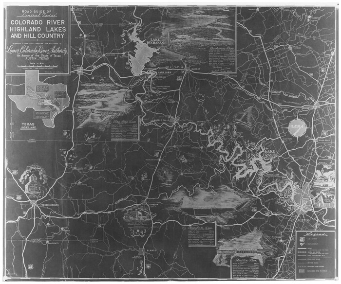
Road Guide of Central Texas, Colorado River, Highland Lakes and Hill Country
1947
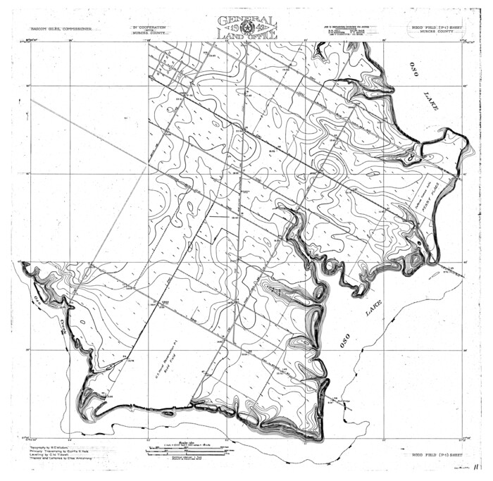
Oso Creek, Rodd Field (P-1) Sheet
1942
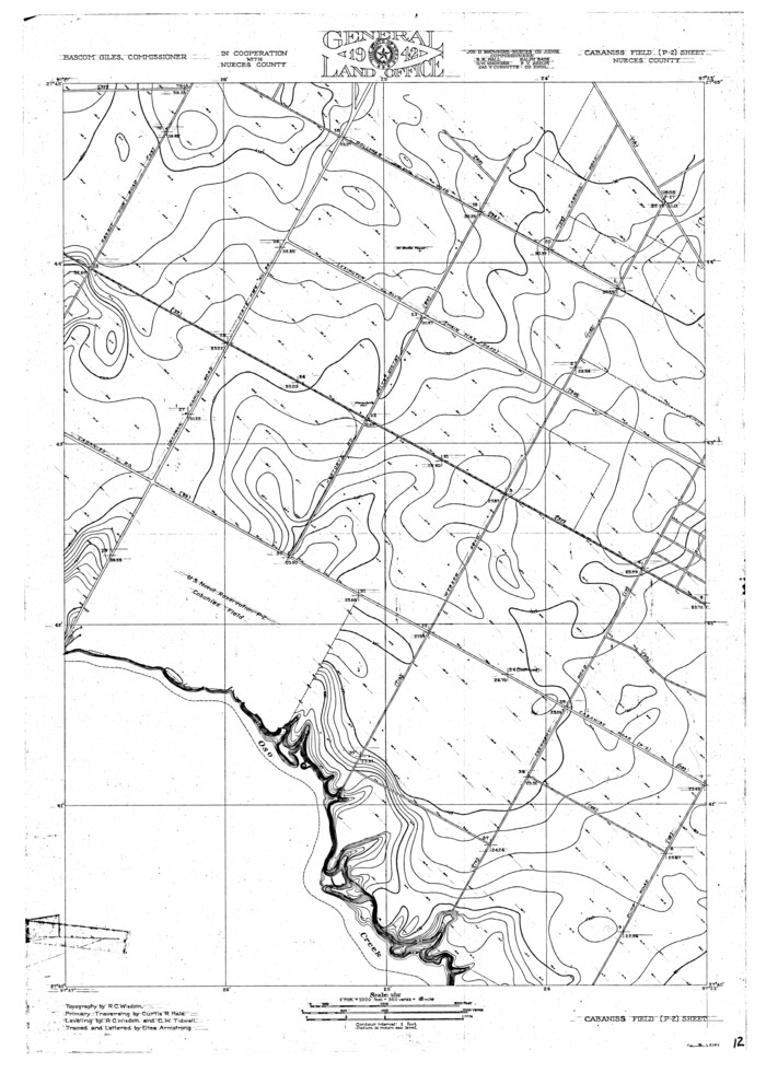
Oso Creek, Cabaniss Field (P-2) Sheet
1942

Oso Creek, Cudahay Field (P-3) Sheet
1942

Nueces River, Clarkwood Sheet
1942
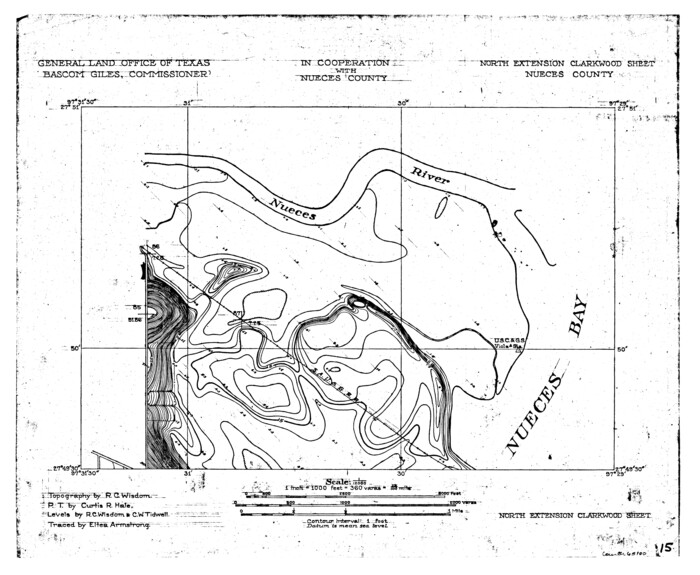
Nueces River, North Extension Clarkwood Sheet
1942

Recharge zone of the Edwards Aquifer hydrologically associated with Barton Springs in the Austin Area, Texas
1986
-
Size
41.5 x 29.3 inches
-
Map/Doc
60400
-
Creation Date
1986

Amistad International Reservoir on Rio Grande Key Sheet
1960
-
Size
13.0 x 32.4 inches
-
Map/Doc
73345
-
Creation Date
1960

Orange County, West Half of Sabine River Showing Leases 5 and 6
1957
-
Size
30.6 x 34.3 inches
-
Map/Doc
1934
-
Creation Date
1957

Amistad International Reservoir on Rio Grande 100
1950
-
Size
28.5 x 40.8 inches
-
Map/Doc
75531
-
Creation Date
1950

Trinity River, Map of J. B. Bradley's Levee in Valley of Cummins Creek about 2 1/2 Miles South of Rice Showing Proposed Change of Location
1950
-
Size
13.9 x 16.1 inches
-
Map/Doc
65246
-
Creation Date
1950

Orange County Sabine River Leases 1,2,3,4
1950
-
Size
36.5 x 22.4 inches
-
Map/Doc
1931
-
Creation Date
1950

Amistad International Reservoir on Rio Grande 61
1949
-
Size
28.4 x 39.4 inches
-
Map/Doc
73346
-
Creation Date
1949

Amistad International Reservoir on Rio Grande 62
1949
-
Size
28.2 x 39.6 inches
-
Map/Doc
73347
-
Creation Date
1949

Amistad International Reservoir on Rio Grande 63
1949
-
Size
28.2 x 39.5 inches
-
Map/Doc
73348
-
Creation Date
1949

Amistad International Reservoir on Rio Grande 64
1949
-
Size
28.4 x 39.6 inches
-
Map/Doc
73349
-
Creation Date
1949

Amistad International Reservoir on Rio Grande 65
1949
-
Size
28.2 x 39.8 inches
-
Map/Doc
73350
-
Creation Date
1949

Amistad International Reservoir on Rio Grande 66
1949
-
Size
28.5 x 39.6 inches
-
Map/Doc
73351
-
Creation Date
1949

Amistad International Reservoir on Rio Grande 67
1949
-
Size
28.3 x 39.5 inches
-
Map/Doc
73352
-
Creation Date
1949

Amistad International Reservoir on Rio Grande 68
1949
-
Size
28.4 x 39.4 inches
-
Map/Doc
73353
-
Creation Date
1949

Amistad International Reservoir on Rio Grande 68a
1949
-
Size
28.4 x 39.6 inches
-
Map/Doc
73354
-
Creation Date
1949

Amistad International Reservoir on Rio Grande 69
1949
-
Size
28.4 x 39.4 inches
-
Map/Doc
73355
-
Creation Date
1949

Amistad International Reservoir on Rio Grande 70
1949
-
Size
28.4 x 39.7 inches
-
Map/Doc
73356
-
Creation Date
1949

Amistad International Reservoir on Rio Grande 70a
1949
-
Size
28.5 x 39.5 inches
-
Map/Doc
73357
-
Creation Date
1949

Amistad International Reservoir on Rio Grande 71
1949
-
Size
28.3 x 39.5 inches
-
Map/Doc
73358
-
Creation Date
1949

Amistad International Reservoir on Rio Grande 71a
1949
-
Size
28.4 x 39.6 inches
-
Map/Doc
73359
-
Creation Date
1949

Amistad International Reservoir on Rio Grande 72
1949
-
Size
28.4 x 39.6 inches
-
Map/Doc
73360
-
Creation Date
1949

Amistad International Reservoir on Rio Grande 72a
1949
-
Size
28.3 x 39.6 inches
-
Map/Doc
73361
-
Creation Date
1949

Amistad International Reservoir on Rio Grande 73
1949
-
Size
28.5 x 40.1 inches
-
Map/Doc
73362
-
Creation Date
1949

Highland Lakes of Central Texas
1947
-
Size
18.2 x 21.9 inches
-
Map/Doc
60291
-
Creation Date
1947

Road Guide of Central Texas, Colorado River, Highland Lakes and Hill Country
1947
-
Size
18.0 x 21.7 inches
-
Map/Doc
60293
-
Creation Date
1947

Oso Creek, Rodd Field (P-1) Sheet
1942
-
Size
33.2 x 34.0 inches
-
Map/Doc
65096
-
Creation Date
1942

Oso Creek, Cabaniss Field (P-2) Sheet
1942
-
Size
36.1 x 25.8 inches
-
Map/Doc
65097
-
Creation Date
1942

Oso Creek, Cudahay Field (P-3) Sheet
1942
-
Size
30.6 x 33.8 inches
-
Map/Doc
65098
-
Creation Date
1942

Nueces River, Clarkwood Sheet
1942
-
Size
26.9 x 36.5 inches
-
Map/Doc
65099
-
Creation Date
1942

Nueces River, North Extension Clarkwood Sheet
1942
-
Size
14.5 x 17.7 inches
-
Map/Doc
65100
-
Creation Date
1942