69 results

"The Texas and Pacific Railway Company Reservation and Land Grant"
62213, "The Texas and Pacific Railway Company Reservation and Land Grant", General Map Collection
Print $38.00 - Digital $50.00

"The Texas and Pacific Railway Company Reservation and Land Grant"

1962

Size: 9.3 x 6.5 inches
62213
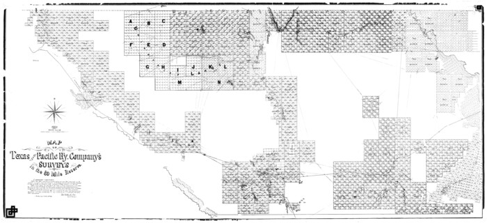
1882 Map of the Texas & Pacific R-Y Reserve
2299-1.tif
Print $40.00 - Digital $50.00

1882 Map of the Texas & Pacific R-Y Reserve

1888

Size: 95.6 x 42.5 inches
2299
1882 Map of the Texas & Pacific R-Y Reserve
83559.tif
Print $20.00 - Digital $50.00

1882 Map of the Texas & Pacific R-Y Reserve

1887
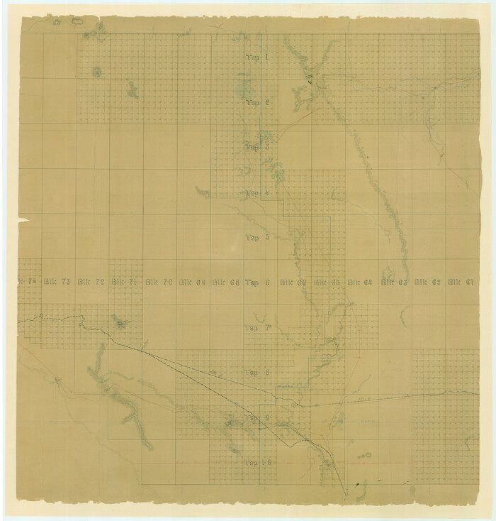
Size: 44.5 x 31.7 inches
83559
1882 Map of the Texas & Pacific R-Y Reserve
83560.tif
Print $20.00 - Digital $50.00

1882 Map of the Texas & Pacific R-Y Reserve

1887

Size: 44.1 x 42.1 inches
83560
1882 Map of the Texas & Pacific R-Y Reserve
83561.tif
Print $20.00 - Digital $50.00

1882 Map of the Texas & Pacific R-Y Reserve

1887

Size: 44.6 x 29.8 inches
83561
A Geographically Correct Map of the State of Texas
95757-1.tif
Print $20.00 - Digital $50.00

A Geographically Correct Map of the State of Texas

1878
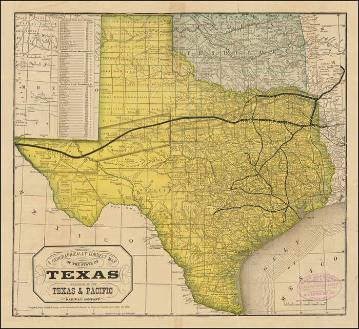
Size: 19.5 x 21.0 inches
95757
A Geographically Correct Map of the State of Texas
96508.tif
Print $20.00 - Digital $50.00

A Geographically Correct Map of the State of Texas

1876

Size: 19.6 x 21.4 inches
96508
A New and Correct County Map of the State of Texas
95760.tif
Print $20.00 - Digital $50.00

A New and Correct County Map of the State of Texas

1891

Size: 22.4 x 27.3 inches
95760
Andrews County Rolled Sketch 42
77182.tif
Print $20.00 - Digital $50.00

Andrews County Rolled Sketch 42

Size: 27.3 x 36.0 inches
77182
Correct Map of Texas
95768.tif
Print $20.00 - Digital $50.00

Correct Map of Texas

1904

Size: 17.9 x 22.3 inches
95768
Correct Map of the Railway & Steamship Lines operated by the Southern Pacific Company
95762.tif
Print $20.00 - Digital $50.00

Correct Map of the Railway & Steamship Lines operated by the Southern Pacific Company

1893

Size: 16.7 x 40.1 inches
95762
Current Miscellaneous File 11
73778, Current Miscellaneous File 11, General Map Collection
Print $50.00 - Digital $50.00

Current Miscellaneous File 11

Size: 11.2 x 8.7 inches
73778
Current Miscellaneous File 29
73920, Current Miscellaneous File 29, General Map Collection
Print $10.00 - Digital $50.00

Current Miscellaneous File 29

Size: 11.2 x 8.8 inches
73920
Geographically Correct Map of United States showing the Union Pacific System - Union Pacific R.R. Co., Oregon Short Line R.R. Co., Oregon-Washington R.R. & Nav. Co., Los Angeles & Salt Lake R.R. Co., St. Joseph & Grand Island Ry. Co. and connections
95771.tif
Print $20.00 - Digital $50.00

Geographically Correct Map of United States showing the Union Pacific System - Union Pacific R.R. Co., Oregon Short Line R.R. Co., Oregon-Washington R.R. & Nav. Co., Los Angeles & Salt Lake R.R. Co., St. Joseph & Grand Island Ry. Co. and connections

1922

Size: 18.2 x 32.2 inches
95771
Jacob Kuechler's Field Notes (Field Book), Texas & Pacific Ry. Co. 80 Mile Reserve
3050, Jacob Kuechler's Field Notes (Field Book), Texas & Pacific Ry. Co. 80 Mile Reserve, General Map Collection
Print $222.00 - Digital $50.00

Jacob Kuechler's Field Notes (Field Book), Texas & Pacific Ry. Co. 80 Mile Reserve

1879

Size: 7.9 x 5.4 inches
3050
Kuechler's Corners, Texas & Pacific Ry. Co. 80 Mile Reserve
2248, Kuechler's Corners, Texas & Pacific Ry. Co. 80 Mile Reserve, General Map Collection
Print $703.00 - Digital $50.00

Kuechler's Corners, Texas & Pacific Ry. Co. 80 Mile Reserve

1934

Size: 11.0 x 8.5 inches
2248
Map of Northern Boundary Line of Texas and Pacific 80 Mile Reservation
65694.tif
Print $20.00 - Digital $50.00

Map of Northern Boundary Line of Texas and Pacific 80 Mile Reservation

1902

Size: 16.8 x 16.7 inches
65694
Map of Panama, Texas
94104.tif
Print $5.00 - Digital $50.00

Map of Panama, Texas

1908

Size: 10.4 x 15.6 inches
94104
Map of Texas and Pacific Ry. Company's Surveys in the 80 Mile Reserve
2241.tif
Print $40.00 - Digital $50.00

Map of Texas and Pacific Ry. Company's Surveys in the 80 Mile Reserve

1885
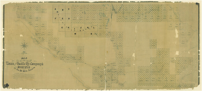
2241
Map of Texas and Pacific Ry. Company's Surveys in the 80 Mile Reserve
2300-1.tif
Print $40.00 - Digital $50.00

Map of Texas and Pacific Ry. Company's Surveys in the 80 Mile Reserve

1885

Size: 41.5 x 91.8 inches
2300
Map of Texas and Pacific Ry. Company's Surveys in the 80 Mile Reserve
60313.tif
Print $40.00 - Digital $50.00

Map of Texas and Pacific Ry. Company's Surveys in the 80 Mile Reserve

1885

Size: 41.5 x 91.8 inches
60313
Map of Texas and Pacific Ry. Company's Surveys in the 80 Mile Reserve
83557.tif
Print $40.00 - Digital $50.00

Map of Texas and Pacific Ry. Company's Surveys in the 80 Mile Reserve

1885

Size: 44.0 x 51.6 inches
83557
Map of Texas and Pacific Ry. Company's Surveys in the 80 Mile Reserve
83558.tif
Print $20.00 - Digital $50.00

Map of Texas and Pacific Ry. Company's Surveys in the 80 Mile Reserve

1885

Size: 44.0 x 46.6 inches
83558
Map of the Cincinnati, New Orleans and Texas Pacific Ry and connections
95758.tif
Print $20.00 - Digital $50.00

Map of the Cincinnati, New Orleans and Texas Pacific Ry and connections

1889

Size: 7.7 x 12.2 inches
95758
Map of the Southern Pacific Company and connections
95759.tif
Print $20.00 - Digital $50.00

Map of the Southern Pacific Company and connections

1890
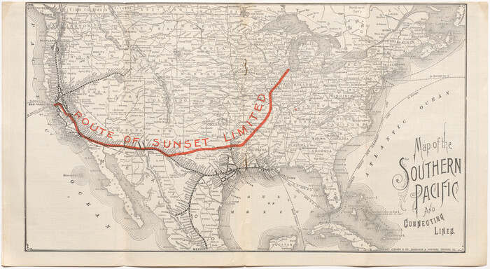
Size: 9.6 x 23.8 inches
95759
Map of the Southern Pacific and connecting lines
95763.tif
Print $20.00 - Digital $50.00

Map of the Southern Pacific and connecting lines

1897
Size: 8.7 x 15.9 inches
95763
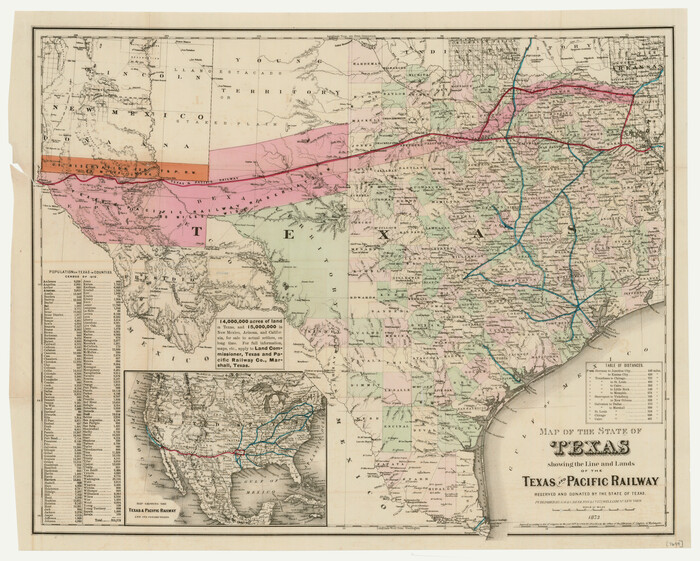
Map of the State of Texas showing the Line and Lands of the Texas and Pacific Railway Reserved and Donated by the State of Texas
76317.tif
Print $20.00

Map of the State of Texas showing the Line and Lands of the Texas and Pacific Railway Reserved and Donated by the State of Texas

1873

Size: 20.2 x 25.1 inches
76317
Map of the Texas & Pacific Railway "Gould System" Lines and Connections
94102.tif
Print $20.00 - Digital $50.00

Map of the Texas & Pacific Railway "Gould System" Lines and Connections

1890

Size: 18.1 x 37.0 inches
94102
Map of the Texas & Pacific Railway "Gould System" Lines and Connections [verso]
94103.tif
Print $20.00 - Digital $50.00

Map of the Texas & Pacific Railway "Gould System" Lines and Connections [verso]

1910

Size: 18.0 x 36.9 inches
94103
Map of the Texas & Pacific Railway "Gould System" Lines and connections
95769.tif
Print $20.00 - Digital $50.00

Map of the Texas & Pacific Railway "Gould System" Lines and connections

1906

Size: 17.7 x 36.6 inches
95769
"The Texas and Pacific Railway Company Reservation and Land Grant"
62213, "The Texas and Pacific Railway Company Reservation and Land Grant", General Map Collection
Print $38.00 - Digital $50.00

"The Texas and Pacific Railway Company Reservation and Land Grant"

1962

  • Size

    9.3 x 6.5 inches

  • Map/Doc

    62213

  • Creation Date

    1962

1882 Map of the Texas & Pacific R-Y Reserve
2299, 1882 Map of the Texas & Pacific R-Y Reserve, General Map Collection
Print $40.00 - Digital $50.00

1882 Map of the Texas & Pacific R-Y Reserve

1888

  • Size

    95.6 x 42.5 inches

  • Map/Doc

    2299

  • Creation Date

    1888

1882 Map of the Texas & Pacific R-Y Reserve
83559, 1882 Map of the Texas & Pacific R-Y Reserve, General Map Collection
Print $20.00 - Digital $50.00

1882 Map of the Texas & Pacific R-Y Reserve

1887

  • Size

    44.5 x 31.7 inches

  • Map/Doc

    83559

  • Creation Date

    1887

1882 Map of the Texas & Pacific R-Y Reserve
83560, 1882 Map of the Texas & Pacific R-Y Reserve, General Map Collection
Print $20.00 - Digital $50.00

1882 Map of the Texas & Pacific R-Y Reserve

1887

  • Size

    44.1 x 42.1 inches

  • Map/Doc

    83560

  • Creation Date

    1887

1882 Map of the Texas & Pacific R-Y Reserve
83561, 1882 Map of the Texas & Pacific R-Y Reserve, General Map Collection
Print $20.00 - Digital $50.00

1882 Map of the Texas & Pacific R-Y Reserve

1887

  • Size

    44.6 x 29.8 inches

  • Map/Doc

    83561

  • Creation Date

    1887

A Geographically Correct Map of the State of Texas
95757, A Geographically Correct Map of the State of Texas, Cobb Digital Map Collection
Print $20.00 - Digital $50.00

A Geographically Correct Map of the State of Texas

1878

  • Size

    19.5 x 21.0 inches

  • Map/Doc

    95757

  • Creation Date

    1878

A Geographically Correct Map of the State of Texas
96508, A Geographically Correct Map of the State of Texas, Holcomb Digital Map Collection - 1
Print $20.00 - Digital $50.00

A Geographically Correct Map of the State of Texas

1876

  • Size

    19.6 x 21.4 inches

  • Map/Doc

    96508

  • Creation Date

    1876

A New and Correct County Map of the State of Texas
95760, A New and Correct County Map of the State of Texas, Cobb Digital Map Collection
Print $20.00 - Digital $50.00

A New and Correct County Map of the State of Texas

1891

  • Size

    22.4 x 27.3 inches

  • Map/Doc

    95760

  • Creation Date

    1891

Andrews County Rolled Sketch 42
77182, Andrews County Rolled Sketch 42, General Map Collection
Print $20.00 - Digital $50.00

Andrews County Rolled Sketch 42

  • Size

    27.3 x 36.0 inches

  • Map/Doc

    77182

Correct Map of Texas
95768, Correct Map of Texas, Cobb Digital Map Collection - 1
Print $20.00 - Digital $50.00

Correct Map of Texas

1904

  • Size

    17.9 x 22.3 inches

  • Map/Doc

    95768

  • Creation Date

    1904

Correct Map of the Railway & Steamship Lines operated by the Southern Pacific Company
95762, Correct Map of the Railway & Steamship Lines operated by the Southern Pacific Company, Cobb Digital Map Collection
Print $20.00 - Digital $50.00

Correct Map of the Railway & Steamship Lines operated by the Southern Pacific Company

1893

  • Size

    16.7 x 40.1 inches

  • Map/Doc

    95762

  • Creation Date

    1893

Current Miscellaneous File 11
73778, Current Miscellaneous File 11, General Map Collection
Print $50.00 - Digital $50.00

Current Miscellaneous File 11

  • Size

    11.2 x 8.7 inches

  • Map/Doc

    73778

Current Miscellaneous File 29
73920, Current Miscellaneous File 29, General Map Collection
Print $10.00 - Digital $50.00

Current Miscellaneous File 29

  • Size

    11.2 x 8.8 inches

  • Map/Doc

    73920

Geographically Correct Map of United States showing the Union Pacific System - Union Pacific R.R. Co., Oregon Short Line R.R. Co., Oregon-Washington R.R. & Nav. Co., Los Angeles & Salt Lake R.R. Co., St. Joseph & Grand Island Ry. Co. and connections
95771, Geographically Correct Map of United States showing the Union Pacific System - Union Pacific R.R. Co., Oregon Short Line R.R. Co., Oregon-Washington R.R. & Nav. Co., Los Angeles & Salt Lake R.R. Co., St. Joseph & Grand Island Ry. Co. and connections, Cobb Digital Map Collection - 1
Print $20.00 - Digital $50.00

Geographically Correct Map of United States showing the Union Pacific System - Union Pacific R.R. Co., Oregon Short Line R.R. Co., Oregon-Washington R.R. & Nav. Co., Los Angeles & Salt Lake R.R. Co., St. Joseph & Grand Island Ry. Co. and connections

1922

  • Size

    18.2 x 32.2 inches

  • Map/Doc

    95771

  • Creation Date

    1922

Jacob Kuechler's Field Notes (Field Book), Texas & Pacific Ry. Co. 80 Mile Reserve
3050, Jacob Kuechler's Field Notes (Field Book), Texas & Pacific Ry. Co. 80 Mile Reserve, General Map Collection
Print $222.00 - Digital $50.00

Jacob Kuechler's Field Notes (Field Book), Texas & Pacific Ry. Co. 80 Mile Reserve

1879

  • Size

    7.9 x 5.4 inches

  • Map/Doc

    3050

  • Creation Date

    1879

Kuechler's Corners, Texas & Pacific Ry. Co. 80 Mile Reserve
2248, Kuechler's Corners, Texas & Pacific Ry. Co. 80 Mile Reserve, General Map Collection
Print $703.00 - Digital $50.00

Kuechler's Corners, Texas & Pacific Ry. Co. 80 Mile Reserve

1934

  • Size

    11.0 x 8.5 inches

  • Map/Doc

    2248

  • Creation Date

    1934

Map of Northern Boundary Line of Texas and Pacific 80 Mile Reservation
65694, Map of Northern Boundary Line of Texas and Pacific 80 Mile Reservation, General Map Collection
Print $20.00 - Digital $50.00

Map of Northern Boundary Line of Texas and Pacific 80 Mile Reservation

1902

  • Size

    16.8 x 16.7 inches

  • Map/Doc

    65694

  • Creation Date

    1902

Map of Panama, Texas
94104, Map of Panama, Texas, General Map Collection
Print $5.00 - Digital $50.00

Map of Panama, Texas

1908

  • Size

    10.4 x 15.6 inches

  • Map/Doc

    94104

  • Creation Date

    1908

Map of Texas and Pacific Ry. Company's Surveys in the 80 Mile Reserve
2241, Map of Texas and Pacific Ry. Company's Surveys in the 80 Mile Reserve, General Map Collection
Print $40.00 - Digital $50.00

Map of Texas and Pacific Ry. Company's Surveys in the 80 Mile Reserve

1885

  • Map/Doc

    2241

  • Creation Date

    1885

Map of Texas and Pacific Ry. Company's Surveys in the 80 Mile Reserve
2300, Map of Texas and Pacific Ry. Company's Surveys in the 80 Mile Reserve, General Map Collection
Print $40.00 - Digital $50.00

Map of Texas and Pacific Ry. Company's Surveys in the 80 Mile Reserve

1885

  • Size

    41.5 x 91.8 inches

  • Map/Doc

    2300

  • Creation Date

    1885

Map of Texas and Pacific Ry. Company's Surveys in the 80 Mile Reserve
60313, Map of Texas and Pacific Ry. Company's Surveys in the 80 Mile Reserve
Print $40.00 - Digital $50.00

Map of Texas and Pacific Ry. Company's Surveys in the 80 Mile Reserve

1885

  • Size

    41.5 x 91.8 inches

  • Map/Doc

    60313

  • Creation Date

    1885

Map of Texas and Pacific Ry. Company's Surveys in the 80 Mile Reserve
83557, Map of Texas and Pacific Ry. Company's Surveys in the 80 Mile Reserve, General Map Collection
Print $40.00 - Digital $50.00

Map of Texas and Pacific Ry. Company's Surveys in the 80 Mile Reserve

1885

  • Size

    44.0 x 51.6 inches

  • Map/Doc

    83557

  • Creation Date

    1885

Map of Texas and Pacific Ry. Company's Surveys in the 80 Mile Reserve
83558, Map of Texas and Pacific Ry. Company's Surveys in the 80 Mile Reserve, General Map Collection
Print $20.00 - Digital $50.00

Map of Texas and Pacific Ry. Company's Surveys in the 80 Mile Reserve

1885

  • Size

    44.0 x 46.6 inches

  • Map/Doc

    83558

  • Creation Date

    1885

Map of the Cincinnati, New Orleans and Texas Pacific Ry and connections
95758, Map of the Cincinnati, New Orleans and Texas Pacific Ry and connections, Cobb Digital Map Collection - 1
Print $20.00 - Digital $50.00

Map of the Cincinnati, New Orleans and Texas Pacific Ry and connections

1889

  • Size

    7.7 x 12.2 inches

  • Map/Doc

    95758

  • Creation Date

    1889

Map of the Southern Pacific Company and connections
95759, Map of the Southern Pacific Company and connections, Cobb Digital Map Collection - 1
Print $20.00 - Digital $50.00

Map of the Southern Pacific Company and connections

1890

  • Size

    9.6 x 23.8 inches

  • Map/Doc

    95759

  • Creation Date

    1890

Map of the Southern Pacific and connecting lines
95763, Map of the Southern Pacific and connecting lines, Cobb Digital Map Collection - 1
Print $20.00 - Digital $50.00

Map of the Southern Pacific and connecting lines

1897

  • Size

    8.7 x 15.9 inches

  • Map/Doc

    95763

  • Creation Date

    1897

Map of the State of Texas showing the Line and Lands of the Texas and Pacific Railway Reserved and Donated by the State of Texas
76317, Map of the State of Texas showing the Line and Lands of the Texas and Pacific Railway Reserved and Donated by the State of Texas, Texas State Library and Archives
Print $20.00

Map of the State of Texas showing the Line and Lands of the Texas and Pacific Railway Reserved and Donated by the State of Texas

1873

  • Size

    20.2 x 25.1 inches

  • Map/Doc

    76317

  • Creation Date

    1873

Map of the Texas & Pacific Railway "Gould System" Lines and Connections
94102, Map of the Texas & Pacific Railway "Gould System" Lines and Connections, General Map Collection
Print $20.00 - Digital $50.00

Map of the Texas & Pacific Railway "Gould System" Lines and Connections

1890

  • Size

    18.1 x 37.0 inches

  • Map/Doc

    94102

  • Creation Date

    1890

Map of the Texas & Pacific Railway "Gould System" Lines and Connections [verso]
94103, Map of the Texas & Pacific Railway "Gould System" Lines and Connections [verso], General Map Collection
Print $20.00 - Digital $50.00

Map of the Texas & Pacific Railway "Gould System" Lines and Connections [verso]

1910

  • Size

    18.0 x 36.9 inches

  • Map/Doc

    94103

  • Creation Date

    1910

Map of the Texas & Pacific Railway "Gould System" Lines and connections
95769, Map of the Texas & Pacific Railway "Gould System" Lines and connections, Cobb Digital Map Collection - 1
Print $20.00 - Digital $50.00

Map of the Texas & Pacific Railway "Gould System" Lines and connections

1906

  • Size

    17.7 x 36.6 inches

  • Map/Doc

    95769

  • Creation Date

    1906