[Map of San Antonio, Texas]
-
Map/Doc
93399
-
Collection
General Map Collection
-
Object Dates
1895 (Creation Date)
2012/11/15 (File Date)
-
Counties
Bexar
-
Subjects
City Tejano Genealogical Society - September 26-27, 2025
-
Height x Width
29.4 x 34.5 inches
74.7 x 87.6 cm
-
Medium
paper, etching/engraving/lithograph
-
Features
U.S. Government Drill Grounds
Ger[man] Lutheran Cemetery
Ger[man] Catholic Cemetery
SA&AP Depot
Goliad Road
I&GN
Mission Concepcíon
Riverside Park
Pleasantown Road
Corpus Christi Road
Mahncke Park
Masonic Cemetery
SA&AP
Fredericksburg Road
Fort Sam Houston Brigade Post
Main Plaza
Military Plaza
San Fernando-Castroville Road
San Fernando Road
Castroville Road
South Heights Park
Franklin Square
Fredericksburg Road
SA&AP
West End Lake
San Pedro Park
Brackenridge Park
Fort Sam Houston
Crockett Square
Madison Square
Maverick Park
Travis Park
San Antonio
I&GN Depot
Milam Square
Washington Square
Alamo Plaza
SA&G
Confederate Cemetery
City Cemetery
U.S. Government Cemetery
Odd Fellow Cemetery
Part of: General Map Collection
Wichita County
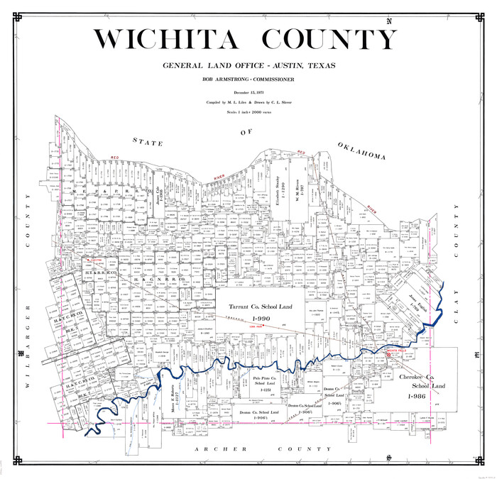

Print $20.00
- Digital $50.00
Wichita County
1971
Size 38.1 x 39.8 inches
Map/Doc 73323
Flight Mission No. CLL-3N, Frame 17, Willacy County


Print $20.00
- Digital $50.00
Flight Mission No. CLL-3N, Frame 17, Willacy County
1954
Size 18.5 x 22.2 inches
Map/Doc 87083
Edwards County Working Sketch 95


Print $20.00
- Digital $50.00
Edwards County Working Sketch 95
1968
Size 26.0 x 24.9 inches
Map/Doc 68971
Ector County Working Sketch Graphic Index - sheet A
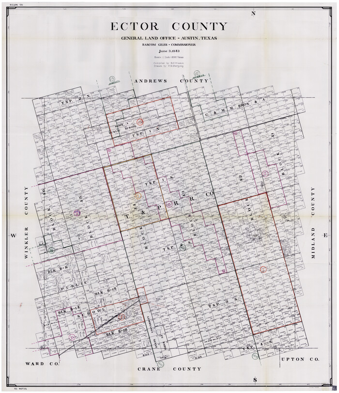

Print $20.00
- Digital $50.00
Ector County Working Sketch Graphic Index - sheet A
1943
Size 44.5 x 39.1 inches
Map/Doc 76530
Gray County Working Sketch Graphic Index


Print $20.00
- Digital $50.00
Gray County Working Sketch Graphic Index
1900
Size 43.3 x 39.4 inches
Map/Doc 76557
Flight Mission No. DCL-6C, Frame 117, Kenedy County


Print $20.00
- Digital $50.00
Flight Mission No. DCL-6C, Frame 117, Kenedy County
1943
Size 18.5 x 22.2 inches
Map/Doc 85947
Land Titles Issued in Stephen F. Austin's Colony
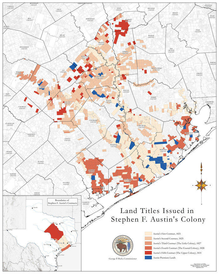

Print $20.00
Land Titles Issued in Stephen F. Austin's Colony
2015
Size 30.0 x 24.0 inches
Map/Doc 93754
Webb County Rolled Sketch 35
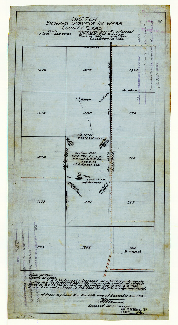

Print $20.00
- Digital $50.00
Webb County Rolled Sketch 35
1939
Size 23.1 x 12.7 inches
Map/Doc 8190
Roberts County Working Sketch 39
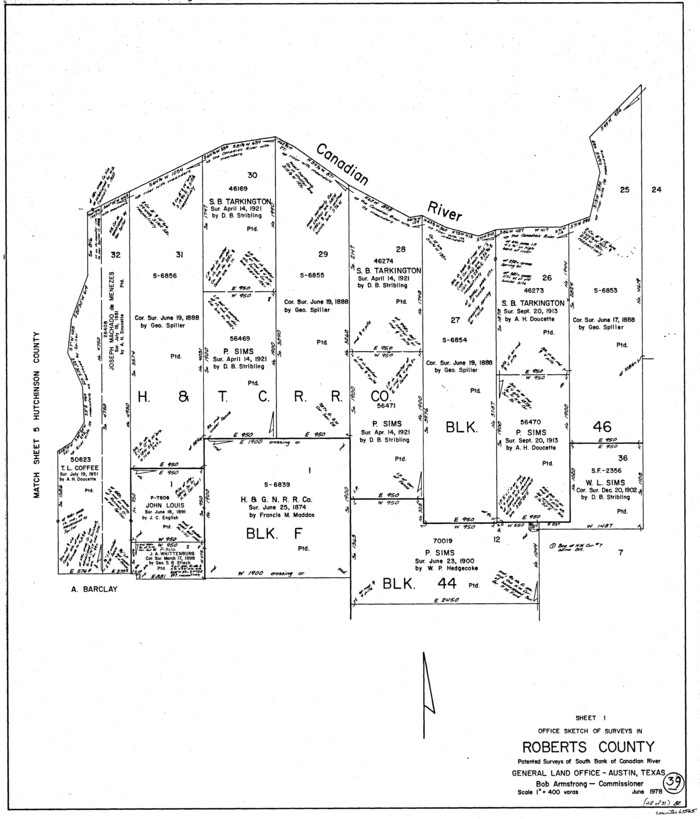

Print $20.00
- Digital $50.00
Roberts County Working Sketch 39
1978
Size 26.6 x 22.7 inches
Map/Doc 63565
Angelina County Sketch File 14


Print $2.00
- Digital $50.00
Angelina County Sketch File 14
Size 7.6 x 6.9 inches
Map/Doc 12959
Navarro County Working Sketch 18
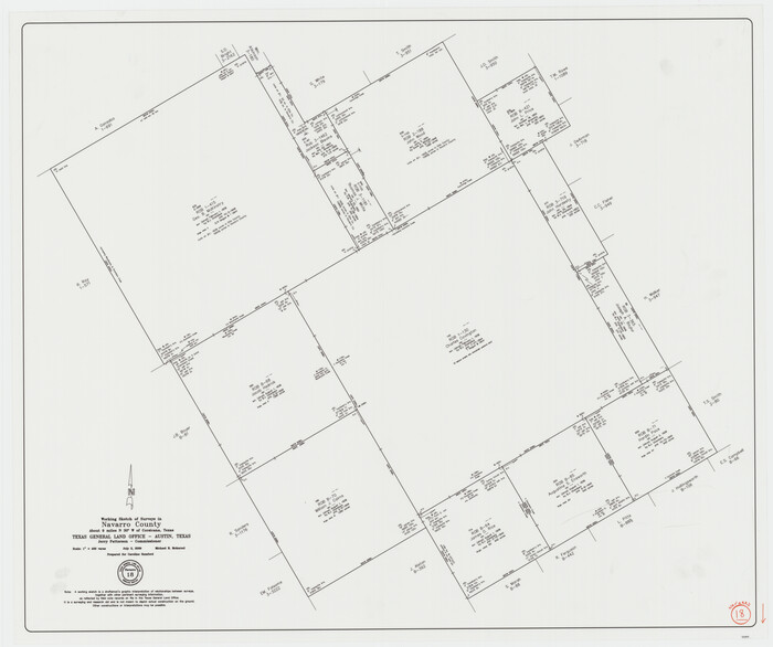

Print $20.00
- Digital $50.00
Navarro County Working Sketch 18
2009
Size 31.9 x 38.0 inches
Map/Doc 89044
Map of Kent County, 1889


Print $20.00
- Digital $50.00
Map of Kent County, 1889
1889
Size 27.2 x 20.2 inches
Map/Doc 3756
You may also like
Flight Mission No. 29300074, Harris County


Print $20.00
- Digital $50.00
Flight Mission No. 29300074, Harris County
1985
Size 10.4 x 10.4 inches
Map/Doc 85286
Bastrop County Boundary File 4


Print $48.00
- Digital $50.00
Bastrop County Boundary File 4
1925
Size 11.2 x 8.7 inches
Map/Doc 50324
Medina County Working Sketch 16


Print $20.00
- Digital $50.00
Medina County Working Sketch 16
1979
Size 27.1 x 28.2 inches
Map/Doc 70931
Map showing location of shore end of south jetty Galveston Harbor, Texas with boundaries of public and private property
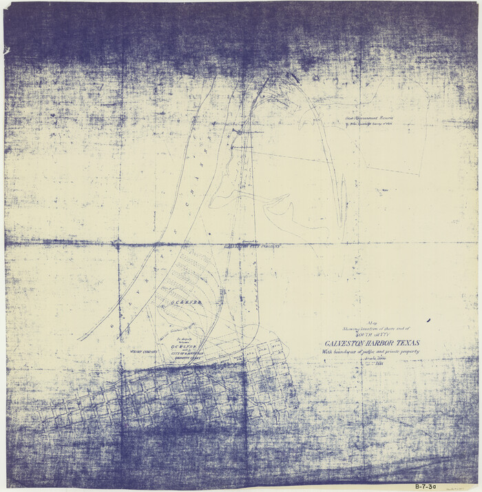

Print $20.00
- Digital $50.00
Map showing location of shore end of south jetty Galveston Harbor, Texas with boundaries of public and private property
1888
Size 34.0 x 33.3 inches
Map/Doc 61807
Culberson County Working Sketch 54

Print $20.00
- Digital $50.00
Culberson County Working Sketch 54
1974
Size 26.4 x 32.6 inches
Map/Doc 68508
McMullen County Sketch File 26

Print $20.00
- Digital $50.00
McMullen County Sketch File 26
1884
Size 14.7 x 19.8 inches
Map/Doc 12060
Flight Mission No. DAG-18K, Frame 71, Matagorda County

Print $20.00
- Digital $50.00
Flight Mission No. DAG-18K, Frame 71, Matagorda County
1952
Size 16.3 x 16.3 inches
Map/Doc 86364
Hopkins County Working Sketch 4


Print $20.00
- Digital $50.00
Hopkins County Working Sketch 4
1959
Size 23.3 x 30.9 inches
Map/Doc 66229
General Highway Map, Houston County, Texas

Print $20.00
General Highway Map, Houston County, Texas
1940
Size 25.0 x 18.6 inches
Map/Doc 79132
Yoakum County Sketch File 20


Print $22.00
- Digital $50.00
Yoakum County Sketch File 20
1977
Size 13.1 x 14.5 inches
Map/Doc 40841
Brewster County Rolled Sketch 93


Print $20.00
- Digital $50.00
Brewster County Rolled Sketch 93
1935
Size 24.1 x 43.1 inches
Map/Doc 5251
Harris County Working Sketch 50

Print $20.00
- Digital $50.00
Harris County Working Sketch 50
1947
Size 38.7 x 35.6 inches
Map/Doc 65942
![93399, [Map of San Antonio, Texas], General Map Collection - 1](https://historictexasmaps.com/wmedia_w1800h1800/maps/93399.tif.jpg)