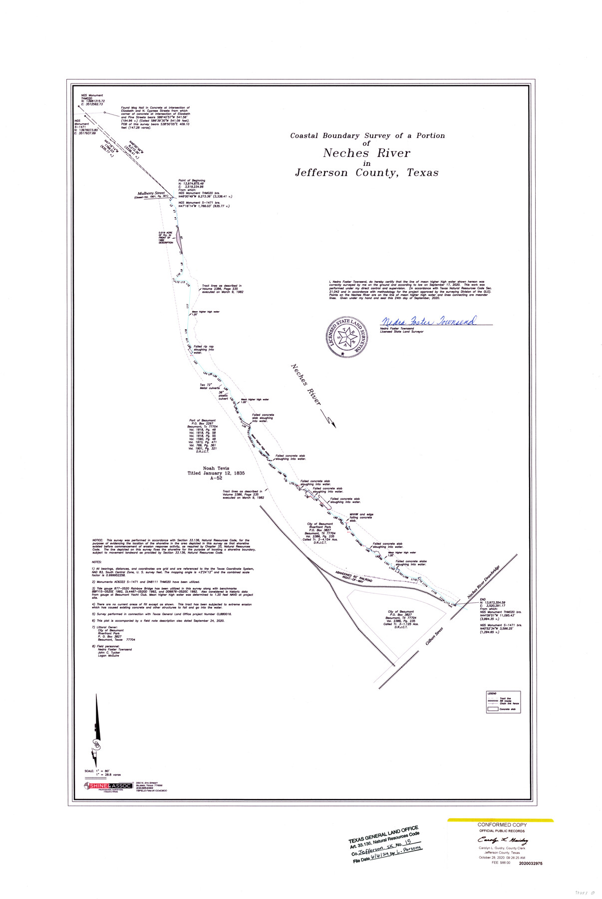
Jefferson County NRC Article 33.136 Sketch 15
Coastal Boundary Survey of a portion of Neches River in Jefferson County, Texas
-
Map/Doc
97253
-
Collection
General Map Collection
-
Object Dates
9/24/2020 (Creation Date)
6/6/2024 (File Date)
-
People and Organizations
Nedra Foster Townsend (Surveyor/Engineer)
-
Counties
Jefferson
-
Subjects
Surveying CBS
-
Medium
multipage, multiformat
-
Scale
1" = 80 feet = 28.8 varas
-
Comments
Project: Riverfront Park, Noah Tevis Survey/Abstract-52
Project No.: CL 880016
Part of: General Map Collection
Bowie County Sketch File 9

Print $10.00
- Digital $50.00
Bowie County Sketch File 9
Size 8.1 x 3.9 inches
Map/Doc 14907
Angelina County Working Sketch 34
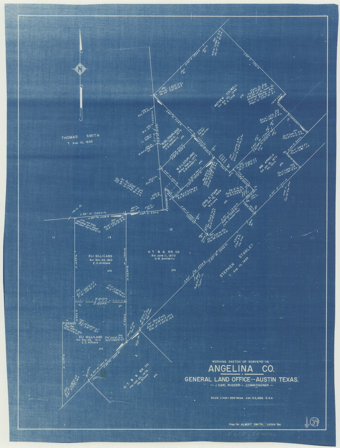

Print $20.00
- Digital $50.00
Angelina County Working Sketch 34
1956
Size 30.2 x 22.9 inches
Map/Doc 67117
Travis County Working Sketch 4


Print $20.00
- Digital $50.00
Travis County Working Sketch 4
Size 38.3 x 26.1 inches
Map/Doc 69388
Ward County Sketch File 7

Print $4.00
- Digital $50.00
Ward County Sketch File 7
1927
Size 9.8 x 8.6 inches
Map/Doc 39621
Flight Mission No. DAH-10M, Frame 44, Orange County
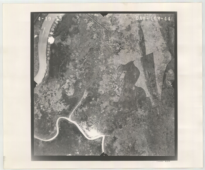

Print $20.00
- Digital $50.00
Flight Mission No. DAH-10M, Frame 44, Orange County
1953
Size 18.6 x 22.4 inches
Map/Doc 86879
Polk County Working Sketch 3
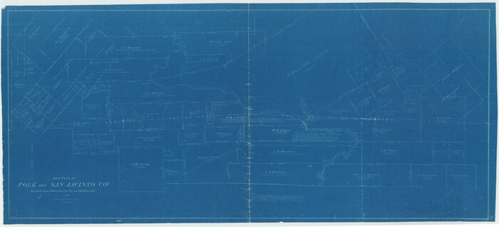

Print $40.00
- Digital $50.00
Polk County Working Sketch 3
Size 25.4 x 56.0 inches
Map/Doc 71618
Crockett County Working Sketch 70
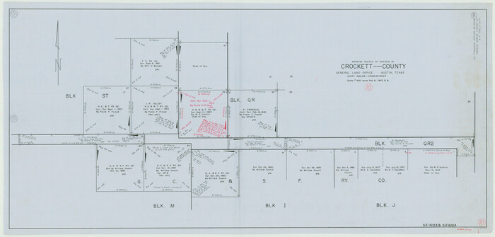

Print $40.00
- Digital $50.00
Crockett County Working Sketch 70
1963
Size 23.7 x 49.5 inches
Map/Doc 68403
Archer County Working Sketch 3
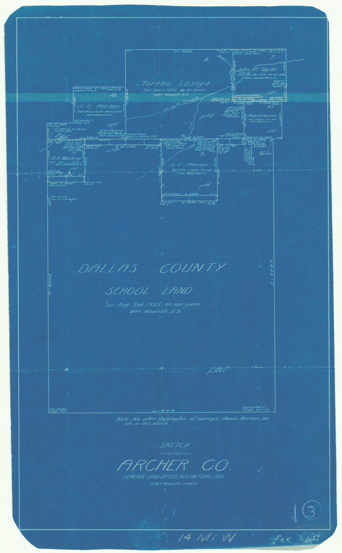

Print $20.00
- Digital $50.00
Archer County Working Sketch 3
1913
Size 19.8 x 12.3 inches
Map/Doc 67143
Pecos County Working Sketch 89
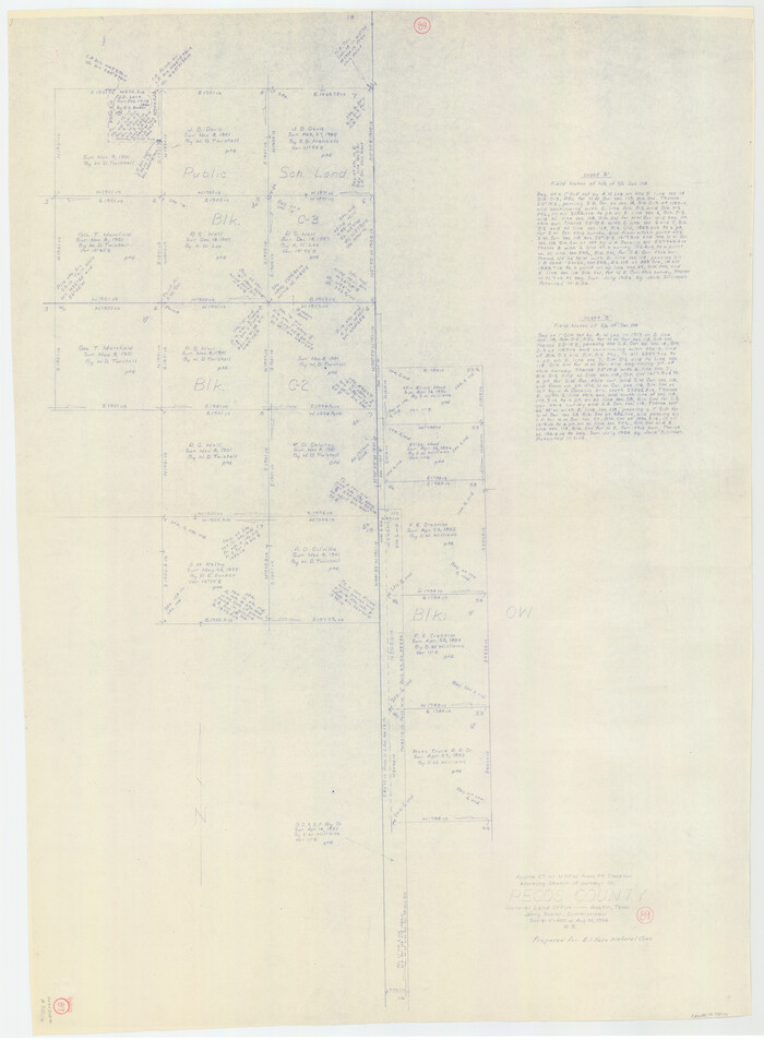

Print $20.00
- Digital $50.00
Pecos County Working Sketch 89
Size 46.5 x 34.2 inches
Map/Doc 78216
Navarro County Working Sketch 17


Print $20.00
- Digital $50.00
Navarro County Working Sketch 17
2008
Size 35.3 x 36.1 inches
Map/Doc 88812
Jim Hogg County Rolled Sketch 4
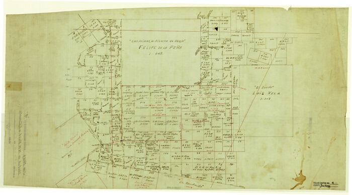

Print $20.00
- Digital $50.00
Jim Hogg County Rolled Sketch 4
Size 17.0 x 30.5 inches
Map/Doc 6440
You may also like
Real County Working Sketch 27


Print $20.00
- Digital $50.00
Real County Working Sketch 27
Size 29.8 x 29.2 inches
Map/Doc 71919
Gregg County Rolled Sketch 27


Print $137.00
- Digital $50.00
Gregg County Rolled Sketch 27
1933
Size 10.4 x 15.3 inches
Map/Doc 45625
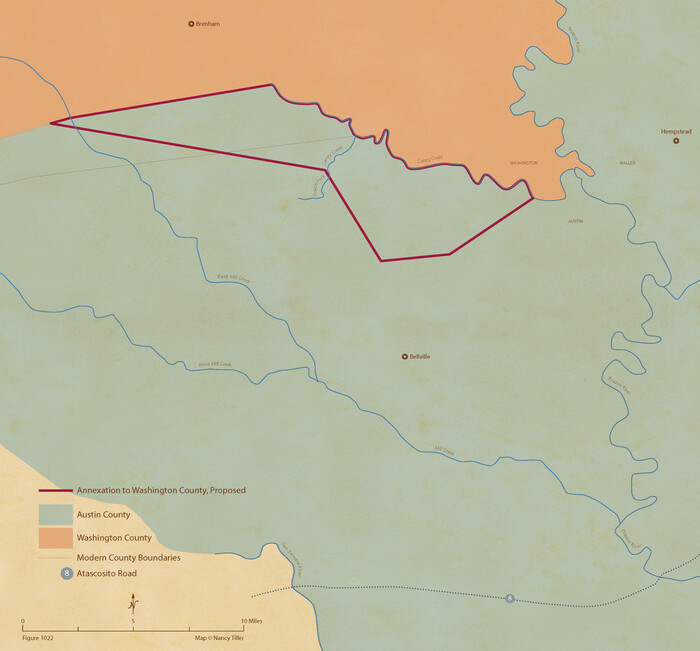
From Citizens of Austin County Requesting to be Attached to Washington County, January 4, 1842

Print $20.00
- Digital $50.00
From Citizens of Austin County Requesting to be Attached to Washington County, January 4, 1842
2020
Size 10.1 x 10.8 inches
Map/Doc 96396
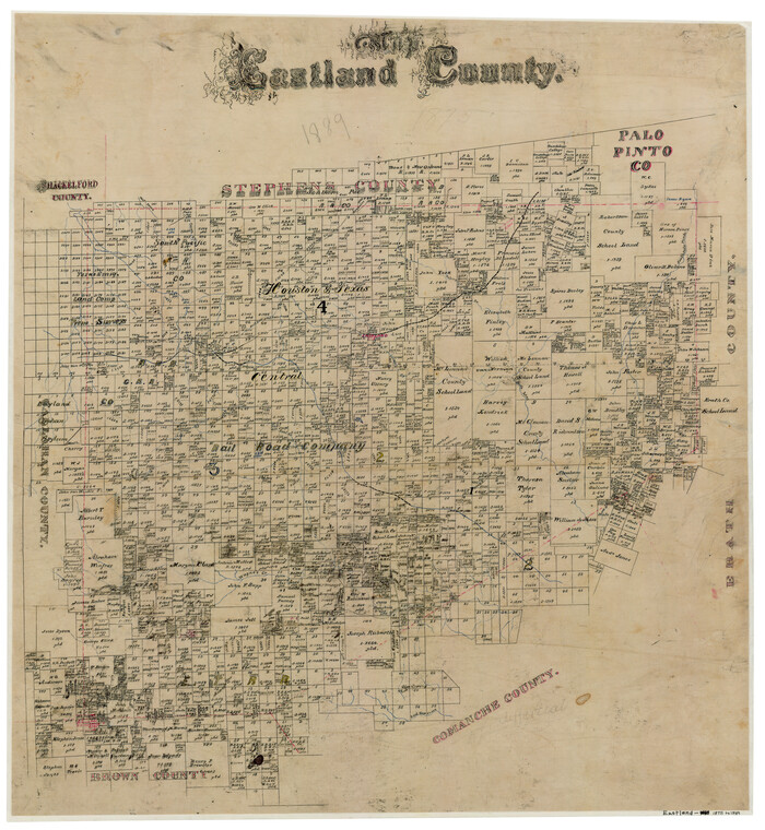
Map of Eastland County

Print $20.00
- Digital $50.00
Map of Eastland County
1889
Size 22.9 x 21.2 inches
Map/Doc 3502
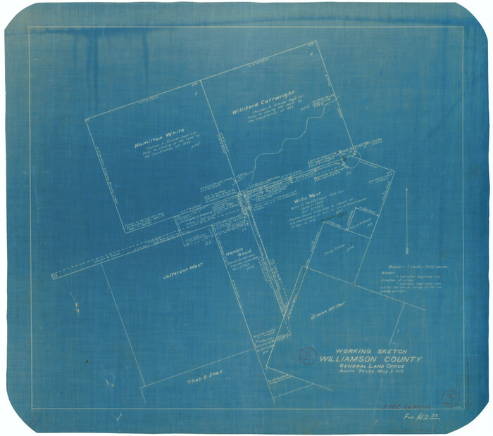
Williamson County Working Sketch 3

Print $20.00
- Digital $50.00
Williamson County Working Sketch 3
Size 17.9 x 20.2 inches
Map/Doc 72563
Texas Gulf Coast Map from the Sabine River to the Rio Grande as subdivided for mineral development


Print $40.00
- Digital $50.00
Texas Gulf Coast Map from the Sabine River to the Rio Grande as subdivided for mineral development
Size 117.9 x 46.0 inches
Map/Doc 2902
English Field Notes of the Spanish Archives - Books DB3 & WR


English Field Notes of the Spanish Archives - Books DB3 & WR
1835
Map/Doc 96548
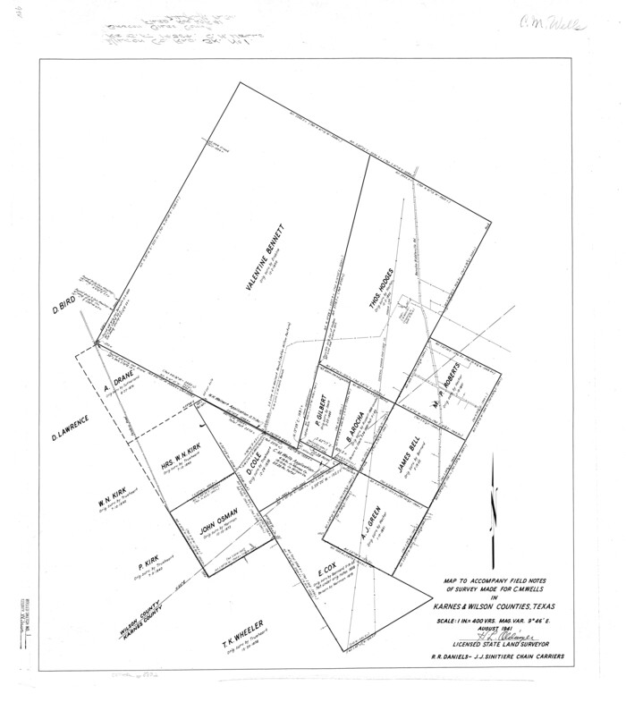
Wilson County Rolled Sketch 1

Print $20.00
- Digital $50.00
Wilson County Rolled Sketch 1
1941
Size 31.5 x 27.1 inches
Map/Doc 8367
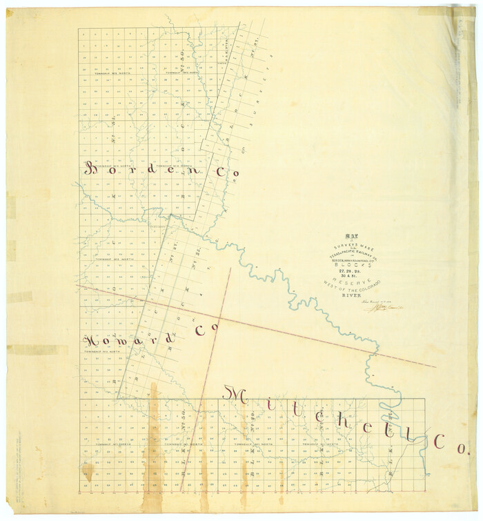
Map of Surveys Made for the T&PRR in Borden, Howard & Mitchell Counties, Blocks 27, 28, 29, 30 & 31, Reserve West of the Colorado

Print $20.00
- Digital $50.00
Map of Surveys Made for the T&PRR in Borden, Howard & Mitchell Counties, Blocks 27, 28, 29, 30 & 31, Reserve West of the Colorado
1876
Size 42.8 x 39.7 inches
Map/Doc 2230
Palo Pinto County Sketch File 20


Print $6.00
- Digital $50.00
Palo Pinto County Sketch File 20
1891
Size 12.5 x 10.9 inches
Map/Doc 33402
Anderson County Working Sketch 8


Print $20.00
- Digital $50.00
Anderson County Working Sketch 8
1923
Size 18.6 x 20.6 inches
Map/Doc 67007
