Political Essay on the Kingdom of New Spain Vol. 1, Third Edition
Containing Researches relative to the Geography of Mexico, The Extent of its Surface and its political Division into Intendancies, The physical Aspect of the Country, The Population, the State of Agriculture and Manufacturing and Commercial Industry; The Canals projected between the South Sea and Atlantic Ocean, The Crown Revenues, The Quantity of the precious Metals which have flowed from Mexico into Europe and Asia, since the Discovery of the New Continent, And the Military Defence of New Spain.
-
Map/Doc
97386
-
Collection
General Map Collection
-
Object Dates
1822 (Creation Date)
-
People and Organizations
Alexander de Humboldt (Author)
John Black (Translator)
-
Subjects
Bound Volume Spanish Texas Mexico
-
Comments
Volume 1 of 4.
See 97387 for Volume 2, 97388 for Volume 3, and 97389 for Volume 4.
Translated from the original French.
Related maps
Political Essay on the Kingdom of New Spain Vol. 2, Third Edition


Political Essay on the Kingdom of New Spain Vol. 2, Third Edition
1822
Map/Doc 97387
Political Essay on the Kingdom of New Spain Vol. 3


Political Essay on the Kingdom of New Spain Vol. 3
1822
Map/Doc 97388
Political Essay on the Kingdom of New Spain Vol. 4


Political Essay on the Kingdom of New Spain Vol. 4
1822
Map/Doc 97389
Part of: General Map Collection
Medina County


Print $40.00
- Digital $50.00
Medina County
1976
Size 52.5 x 43.2 inches
Map/Doc 73237
Wise County Working Sketch 30
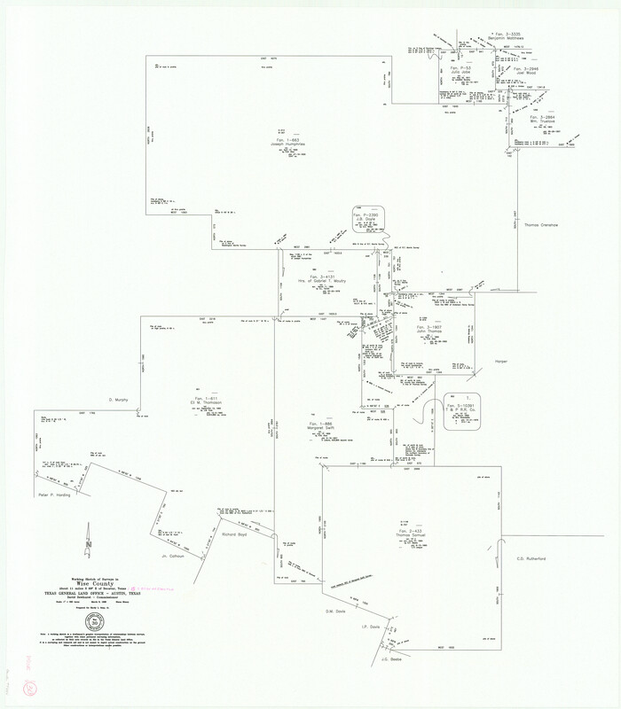

Print $20.00
- Digital $50.00
Wise County Working Sketch 30
Size 39.2 x 34.3 inches
Map/Doc 72644
La Salle County Working Sketch 48
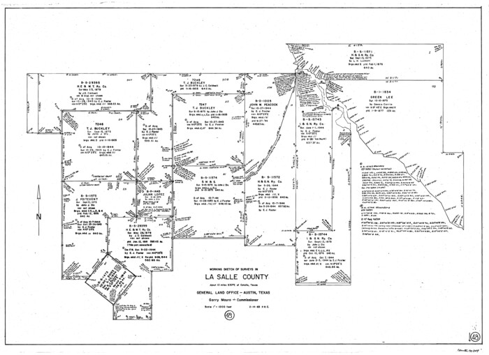

Print $20.00
- Digital $50.00
La Salle County Working Sketch 48
1983
Size 26.2 x 36.0 inches
Map/Doc 70349
Bosque County Working Sketch 31
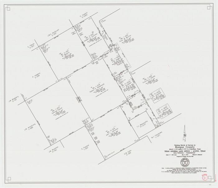

Print $20.00
- Digital $50.00
Bosque County Working Sketch 31
2010
Size 29.8 x 34.6 inches
Map/Doc 89277
Brewster County Rolled Sketch 11


Print $20.00
- Digital $50.00
Brewster County Rolled Sketch 11
1881
Size 24.9 x 23.1 inches
Map/Doc 5191
Amistad International Reservoir on Rio Grande 105


Print $20.00
- Digital $50.00
Amistad International Reservoir on Rio Grande 105
1950
Size 28.5 x 40.8 inches
Map/Doc 75536
Presidio County Working Sketch 79
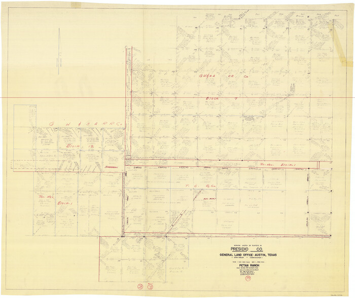

Print $40.00
- Digital $50.00
Presidio County Working Sketch 79
1966
Size 42.4 x 50.5 inches
Map/Doc 71756
Hutchinson County Working Sketch 24


Print $20.00
- Digital $50.00
Hutchinson County Working Sketch 24
1967
Size 27.2 x 40.0 inches
Map/Doc 66384
Coast Chart No. 212 - From Latitude 26° 33' to the Rio Grande, Texas


Print $20.00
- Digital $50.00
Coast Chart No. 212 - From Latitude 26° 33' to the Rio Grande, Texas
1886
Size 37.8 x 34.1 inches
Map/Doc 73503
Hutchinson County Rolled Sketch 43


Print $40.00
- Digital $50.00
Hutchinson County Rolled Sketch 43
1992
Size 40.4 x 49.4 inches
Map/Doc 6313
Wilson County Sketch File 13


Print $4.00
- Digital $50.00
Wilson County Sketch File 13
1873
Size 10.2 x 8.0 inches
Map/Doc 40429
Fisher County Rolled Sketch 4
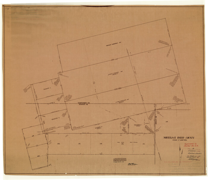

Print $20.00
- Digital $50.00
Fisher County Rolled Sketch 4
Size 32.4 x 37.5 inches
Map/Doc 8888
You may also like
Live Oak County Working Sketch 31


Print $4.00
- Digital $50.00
Live Oak County Working Sketch 31
1991
Size 22.8 x 25.4 inches
Map/Doc 70616
Coast Chart No. 210 Aransas Pass and Corpus Christi Bay with the coast to latitude 27° 12' Texas


Print $20.00
- Digital $50.00
Coast Chart No. 210 Aransas Pass and Corpus Christi Bay with the coast to latitude 27° 12' Texas
1913
Size 27.4 x 18.3 inches
Map/Doc 72797
Ellis County Sketch File 23
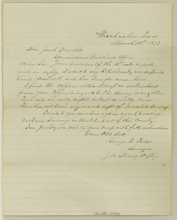

Print $4.00
- Digital $50.00
Ellis County Sketch File 23
1873
Size 10.3 x 8.3 inches
Map/Doc 21881
Culberson County Working Sketch 70
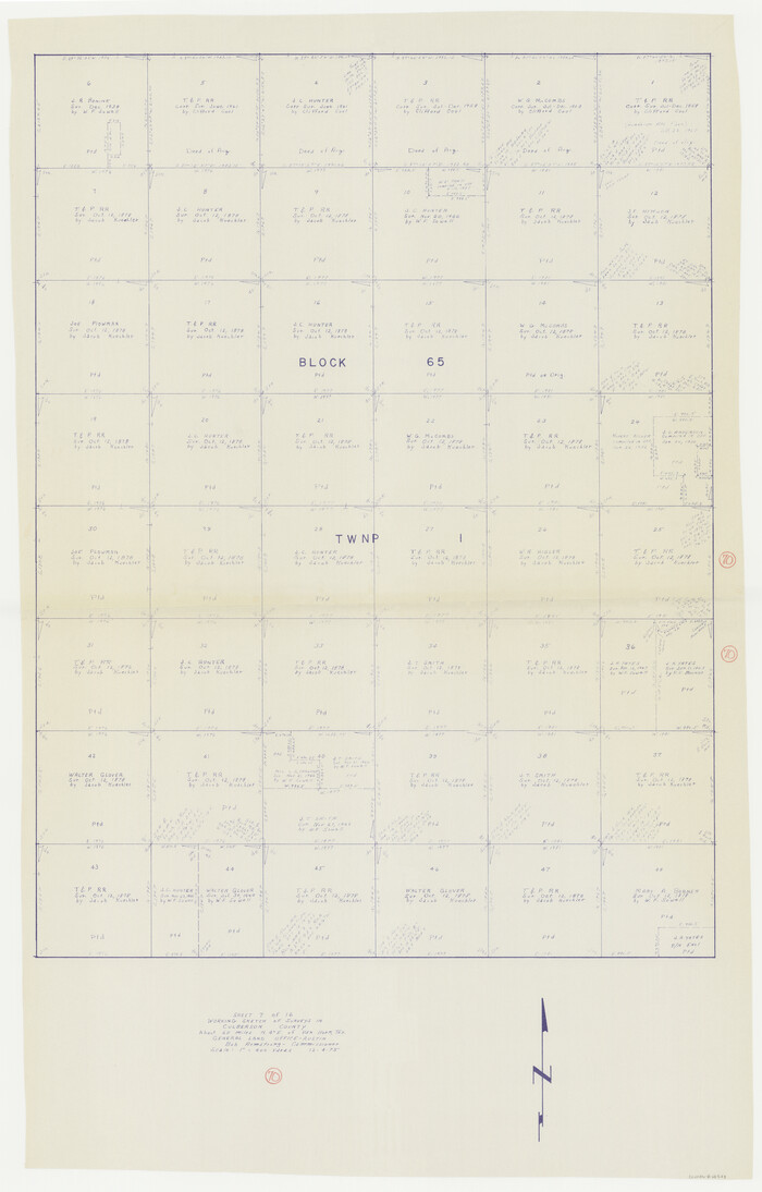

Print $40.00
- Digital $50.00
Culberson County Working Sketch 70
1975
Size 50.3 x 32.2 inches
Map/Doc 68524
General Highway Map. Detail of Cities and Towns in Travis County, Texas
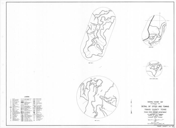

Print $20.00
General Highway Map. Detail of Cities and Towns in Travis County, Texas
1961
Size 18.2 x 24.9 inches
Map/Doc 79681
Galveston County Boundary File 32

Print $52.00
- Digital $50.00
Galveston County Boundary File 32
Size 16.7 x 13.6 inches
Map/Doc 53658
Terrell County Working Sketch 22a


Print $20.00
- Digital $50.00
Terrell County Working Sketch 22a
1939
Size 39.8 x 40.9 inches
Map/Doc 71493
Aerial Perspective of Packery Channel


Print $20.00
- Digital $50.00
Aerial Perspective of Packery Channel
1938
Size 16.5 x 19.3 inches
Map/Doc 3001
Map of Denton County

Print $20.00
- Digital $50.00
Map of Denton County
1897
Size 43.4 x 40.2 inches
Map/Doc 4720
Webb County Working Sketch 73

Print $40.00
- Digital $50.00
Webb County Working Sketch 73
Size 48.1 x 32.7 inches
Map/Doc 72440
Flight Mission No. DAG-21K, Frame 31, Matagorda County


Print $20.00
- Digital $50.00
Flight Mission No. DAG-21K, Frame 31, Matagorda County
1952
Size 18.7 x 22.4 inches
Map/Doc 86398

