Political Essay on the Kingdom of New Spain Vol. 3
Containing Researches relative to the Geography of Mexico, The Extent of its Surface and its political Division into Intendancies, The physical Aspect of the Country, The Population, the State of Agriculture and Manufacturing and Commercial Industry; The Canals projected between the South Sea and Atlantic Ocean, The Crown Revenues, The Quantity of the precious Metals which have flowed from Mexico into Europe and Asia, since the Discovery of the New Continent, And the Military Defence of New Spain.
-
Map/Doc
97388
-
Collection
General Map Collection
-
Object Dates
1822 (Creation Date)
-
People and Organizations
Alexander de Humboldt (Author)
John Black (Translator)
-
Subjects
Bound Volume Spanish Texas Mexico
-
Comments
Volume 3 of 4.
See 97386 for Volume 1, 97387 for Volume 2, and 97389 for Volume 4.
Translated from the original French.
Related maps
Political Essay on the Kingdom of New Spain Vol. 1, Third Edition


Political Essay on the Kingdom of New Spain Vol. 1, Third Edition
1822
Map/Doc 97386
Political Essay on the Kingdom of New Spain Vol. 2, Third Edition


Political Essay on the Kingdom of New Spain Vol. 2, Third Edition
1822
Map/Doc 97387
Political Essay on the Kingdom of New Spain Vol. 4


Political Essay on the Kingdom of New Spain Vol. 4
1822
Map/Doc 97389
Part of: General Map Collection
Montague County Working Sketch 21


Print $20.00
- Digital $50.00
Montague County Working Sketch 21
1952
Size 33.1 x 39.5 inches
Map/Doc 71087
Colorado River, Glen Flora Sheet
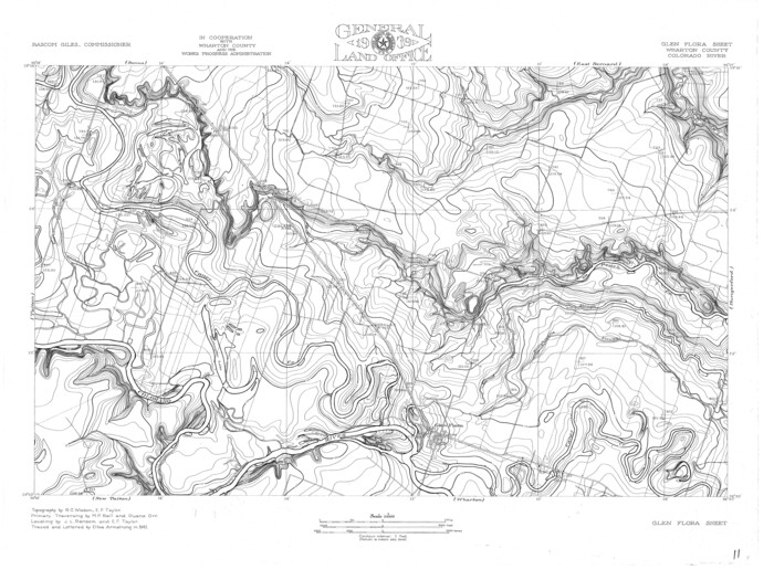

Print $6.00
- Digital $50.00
Colorado River, Glen Flora Sheet
1941
Size 24.5 x 32.6 inches
Map/Doc 65310
Brazoria County Sketch File 49
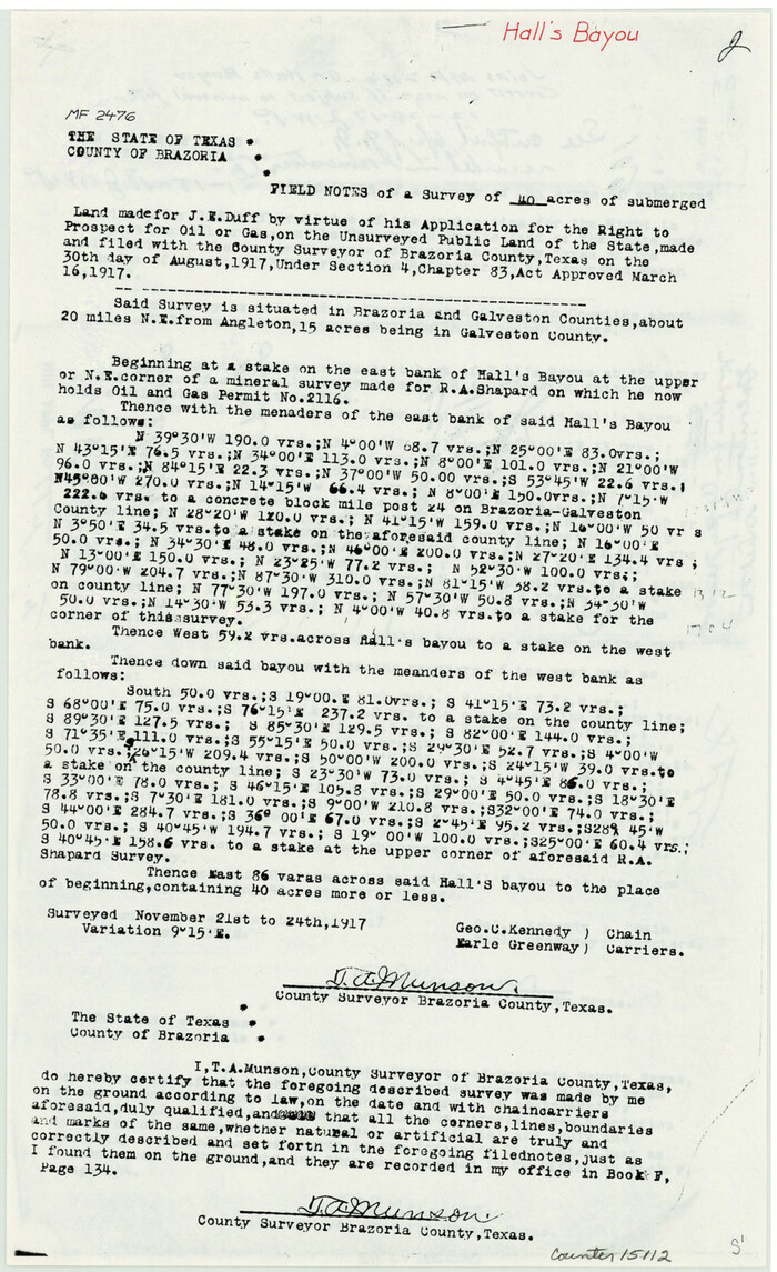

Print $20.00
- Digital $50.00
Brazoria County Sketch File 49
Size 14.2 x 8.7 inches
Map/Doc 15112
Montgomery County Working Sketch 35
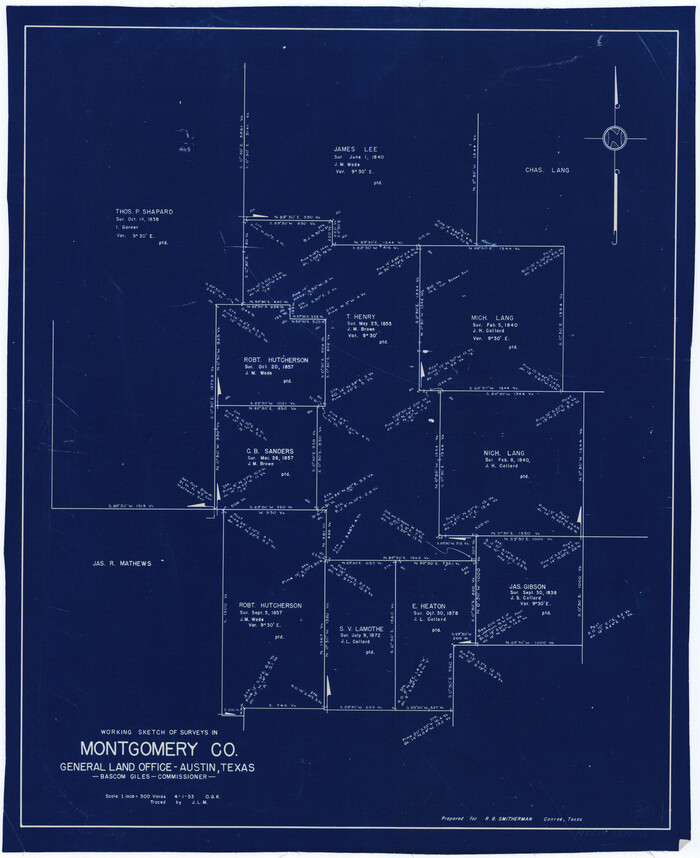

Print $20.00
- Digital $50.00
Montgomery County Working Sketch 35
1953
Size 26.6 x 21.7 inches
Map/Doc 71142
Sutton County Working Sketch 53
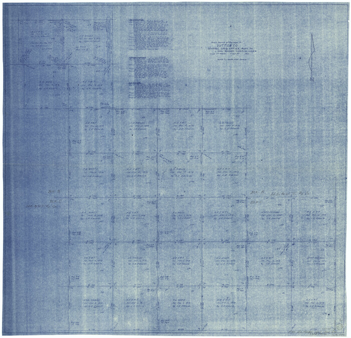

Print $20.00
- Digital $50.00
Sutton County Working Sketch 53
1957
Size 36.1 x 37.5 inches
Map/Doc 62396
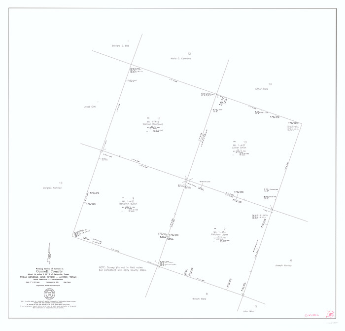
Coryell County Working Sketch 30

Print $20.00
- Digital $50.00
Coryell County Working Sketch 30
2001
Size 37.1 x 38.7 inches
Map/Doc 68237
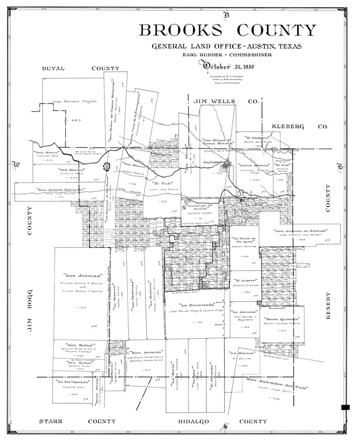
Brooks County

Print $20.00
- Digital $50.00
Brooks County
1955
Size 40.3 x 32.2 inches
Map/Doc 77223
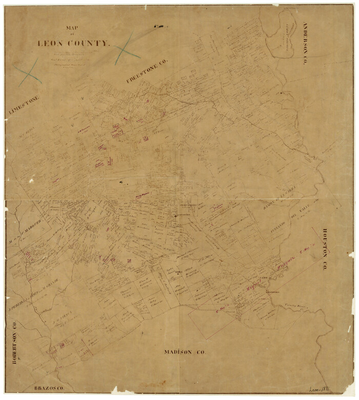
Map of Leon County

Print $20.00
- Digital $50.00
Map of Leon County
1871
Size 23.6 x 21.2 inches
Map/Doc 3808
Nueces County Rolled Sketch 96


Print $44.00
Nueces County Rolled Sketch 96
1983
Size 24.2 x 36.5 inches
Map/Doc 7053
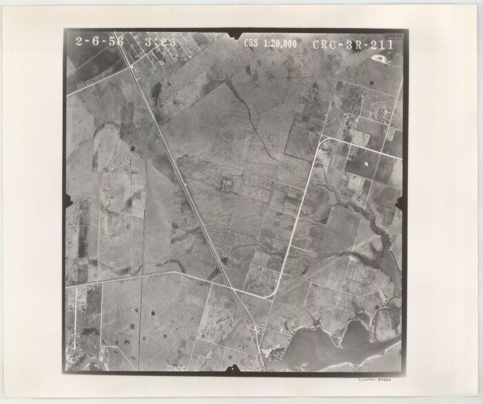
Flight Mission No. CRC-3R, Frame 211, Chambers County

Print $20.00
- Digital $50.00
Flight Mission No. CRC-3R, Frame 211, Chambers County
1956
Size 18.6 x 22.2 inches
Map/Doc 84866
A Map of Lewis and Clark's Track, across the Western Portion of North America from the Mississippi to the Pacific Ocean; by order of the Executive of the United States in 1804, 5 & 6
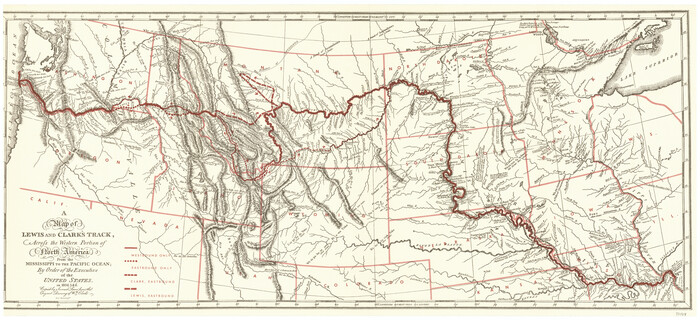

Print $20.00
- Digital $50.00
A Map of Lewis and Clark's Track, across the Western Portion of North America from the Mississippi to the Pacific Ocean; by order of the Executive of the United States in 1804, 5 & 6
1962
Size 11.5 x 25.1 inches
Map/Doc 97174
Galveston County NRC Article 33.136 Sketch 75
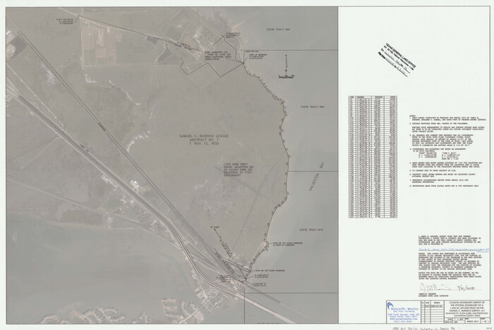

Print $32.00
- Digital $50.00
Galveston County NRC Article 33.136 Sketch 75
2014
Size 24.0 x 36.0 inches
Map/Doc 95118
You may also like
[Sketch showing I. & G. N. Block 8]
![91703, [Sketch showing I. & G. N. Block 8], Twichell Survey Records](https://historictexasmaps.com/wmedia_w700/maps/91703-1.tif.jpg)
![91703, [Sketch showing I. & G. N. Block 8], Twichell Survey Records](https://historictexasmaps.com/wmedia_w700/maps/91703-1.tif.jpg)
Print $2.00
- Digital $50.00
[Sketch showing I. & G. N. Block 8]
1919
Size 5.0 x 8.7 inches
Map/Doc 91703
Crane County Sketch File 15 (C-1)


Print $6.00
- Digital $50.00
Crane County Sketch File 15 (C-1)
1925
Size 8.8 x 15.4 inches
Map/Doc 19579
Falls County Sketch File 31


Print $4.00
- Digital $50.00
Falls County Sketch File 31
1881
Size 14.5 x 8.8 inches
Map/Doc 22439
[Sketch showing North line of James Stewart survey and vicinity]
![90116, [Sketch showing North line of James Stewart survey and vicinity], Twichell Survey Records](https://historictexasmaps.com/wmedia_w700/maps/90116-1.tif.jpg)
![90116, [Sketch showing North line of James Stewart survey and vicinity], Twichell Survey Records](https://historictexasmaps.com/wmedia_w700/maps/90116-1.tif.jpg)
Print $20.00
- Digital $50.00
[Sketch showing North line of James Stewart survey and vicinity]
Size 30.0 x 9.0 inches
Map/Doc 90116
La Salle County Working Sketch 10
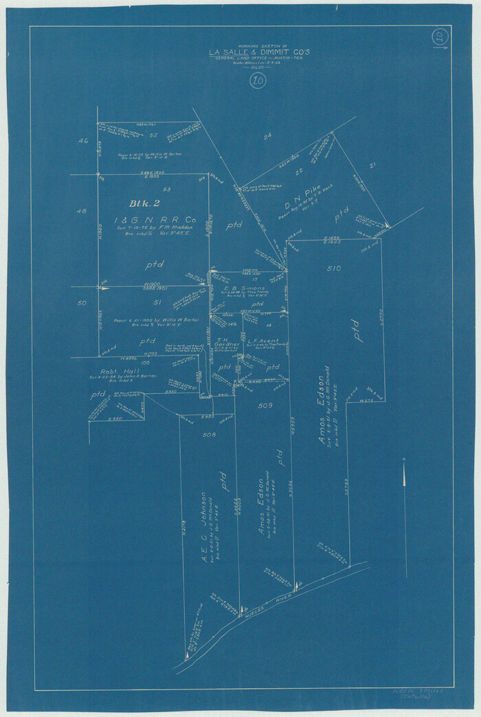

Print $20.00
- Digital $50.00
La Salle County Working Sketch 10
1928
Size 30.6 x 20.5 inches
Map/Doc 70311
Crockett County Working Sketch 8
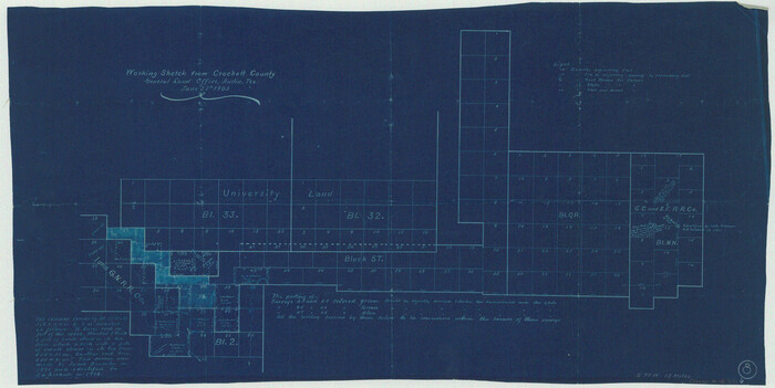

Print $20.00
- Digital $50.00
Crockett County Working Sketch 8
1903
Size 15.2 x 30.3 inches
Map/Doc 68341
Leon County Working Sketch 26


Print $20.00
- Digital $50.00
Leon County Working Sketch 26
1969
Size 43.1 x 46.9 inches
Map/Doc 70425
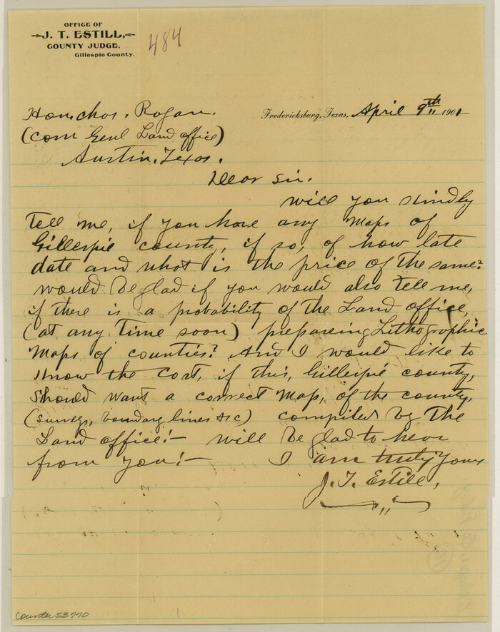
Gillespie County Boundary File 6

Print $2.00
- Digital $50.00
Gillespie County Boundary File 6
Size 11.3 x 8.9 inches
Map/Doc 53770
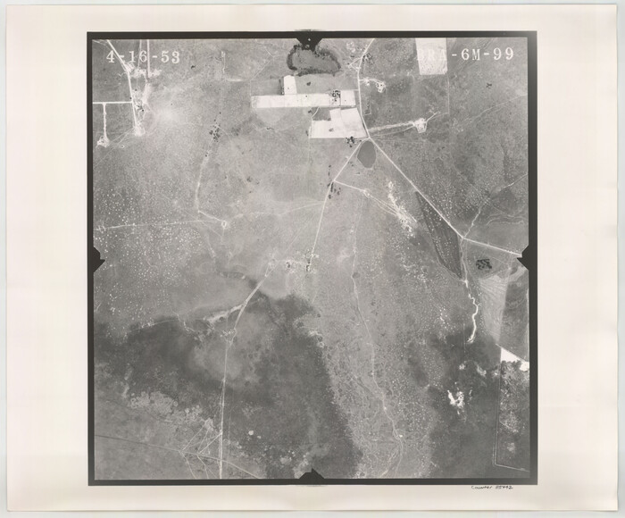
Flight Mission No. BRA-6M, Frame 99, Jefferson County

Print $20.00
- Digital $50.00
Flight Mission No. BRA-6M, Frame 99, Jefferson County
1953
Size 18.5 x 22.3 inches
Map/Doc 85442
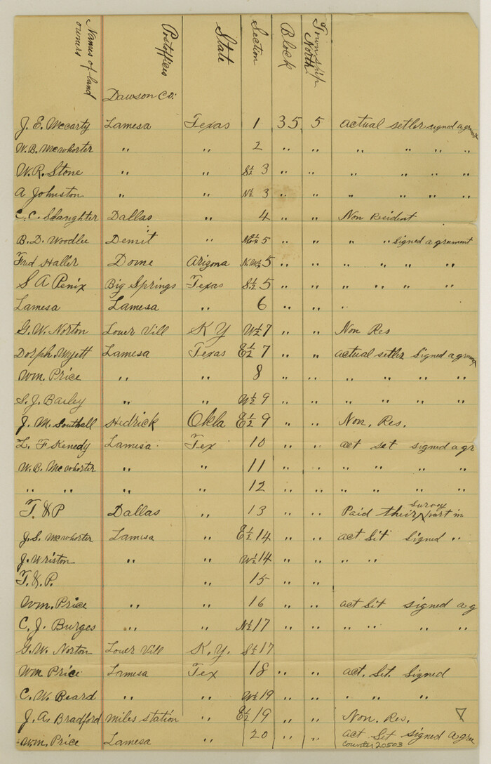
Dawson County Sketch File 3a

Print $12.00
- Digital $50.00
Dawson County Sketch File 3a
Size 12.9 x 8.3 inches
Map/Doc 20503
Travis County Appraisal District Plat Map 2_3013


Print $20.00
- Digital $50.00
Travis County Appraisal District Plat Map 2_3013
Size 21.5 x 26.4 inches
Map/Doc 94220
General Highway Map, Stonewall County, Texas


Print $20.00
General Highway Map, Stonewall County, Texas
1961
Size 18.3 x 25.1 inches
Map/Doc 79662
