Political Essay on the Kingdom of New Spain Vol. 1, Third Edition
Containing Researches relative to the Geography of Mexico, The Extent of its Surface and its political Division into Intendancies, The physical Aspect of the Country, The Population, the State of Agriculture and Manufacturing and Commercial Industry; The Canals projected between the South Sea and Atlantic Ocean, The Crown Revenues, The Quantity of the precious Metals which have flowed from Mexico into Europe and Asia, since the Discovery of the New Continent, And the Military Defence of New Spain.
-
Map/Doc
97386
-
Collection
General Map Collection
-
Object Dates
1822 (Creation Date)
-
People and Organizations
Alexander de Humboldt (Author)
John Black (Translator)
-
Subjects
Bound Volume Spanish Texas Mexico
-
Comments
Volume 1 of 4.
See 97387 for Volume 2, 97388 for Volume 3, and 97389 for Volume 4.
Translated from the original French.
Related maps
Political Essay on the Kingdom of New Spain Vol. 2, Third Edition


Political Essay on the Kingdom of New Spain Vol. 2, Third Edition
1822
Map/Doc 97387
Political Essay on the Kingdom of New Spain Vol. 3


Political Essay on the Kingdom of New Spain Vol. 3
1822
Map/Doc 97388
Political Essay on the Kingdom of New Spain Vol. 4


Political Essay on the Kingdom of New Spain Vol. 4
1822
Map/Doc 97389
Part of: General Map Collection
Red River County Sketch File 14


Print $8.00
- Digital $50.00
Red River County Sketch File 14
Size 13.7 x 9.0 inches
Map/Doc 35133
Dawson County Sketch File 21


Print $20.00
- Digital $50.00
Dawson County Sketch File 21
1953
Size 12.2 x 24.5 inches
Map/Doc 11297
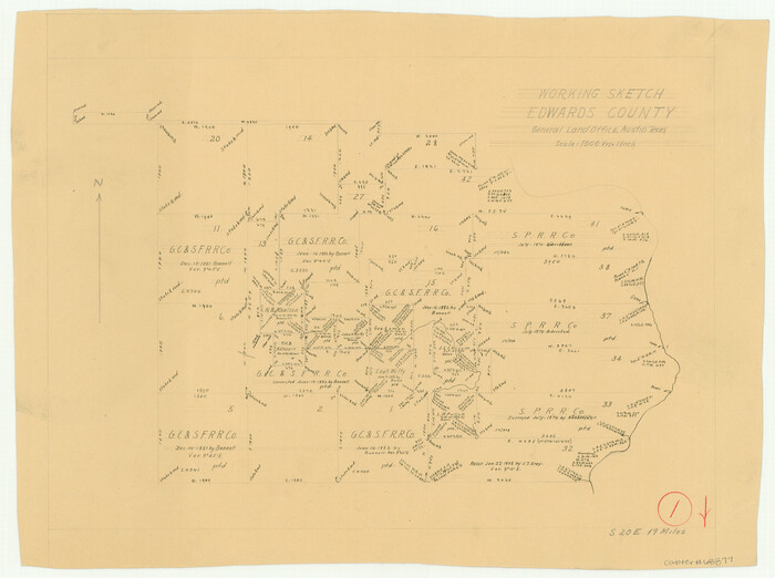
Edwards County Working Sketch 1

Print $20.00
- Digital $50.00
Edwards County Working Sketch 1
Size 12.2 x 16.4 inches
Map/Doc 68877
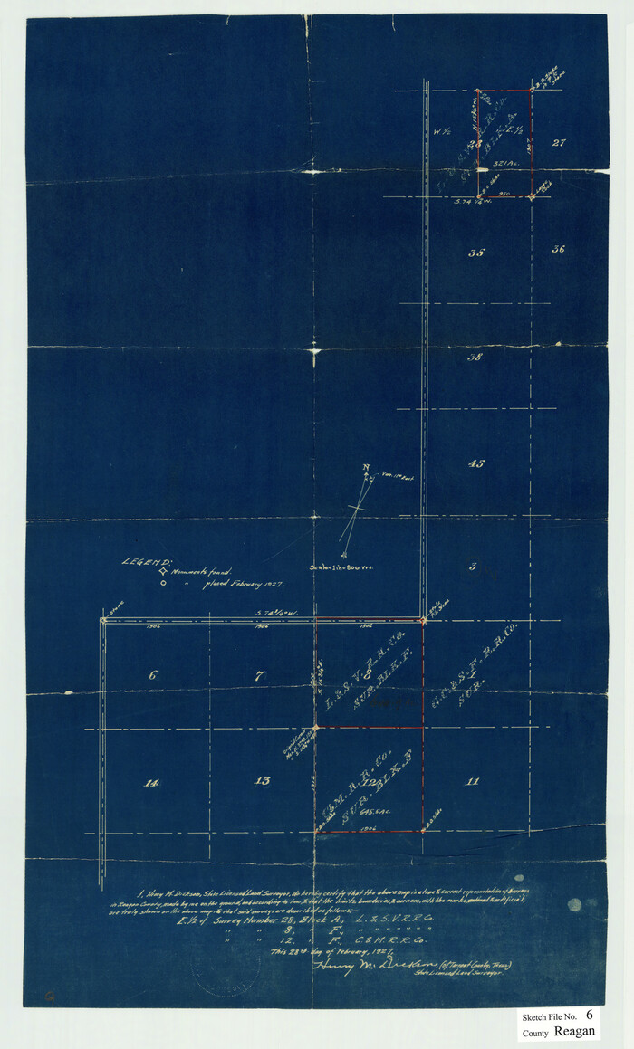
Reagan County Sketch File 6

Print $20.00
- Digital $50.00
Reagan County Sketch File 6
1927
Size 23.4 x 14.1 inches
Map/Doc 12215
Hardeman County Sketch File A1


Print $14.00
- Digital $50.00
Hardeman County Sketch File A1
1891
Size 12.7 x 8.2 inches
Map/Doc 25045
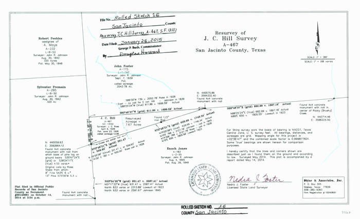
San Jacinto County Rolled Sketch 16

Print $20.00
- Digital $50.00
San Jacinto County Rolled Sketch 16
Size 10.7 x 17.6 inches
Map/Doc 93727
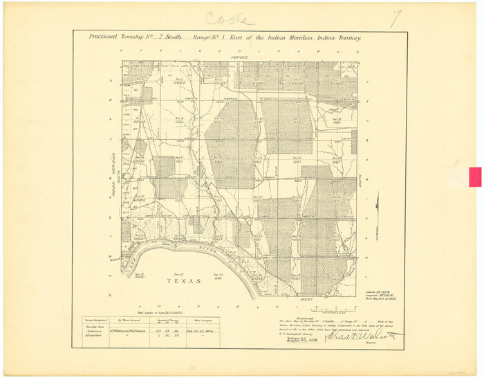
Fractional Township No. 7 South Range No. 1 East of the Indian Meridian, Indian Territory

Print $20.00
- Digital $50.00
Fractional Township No. 7 South Range No. 1 East of the Indian Meridian, Indian Territory
1898
Size 19.2 x 24.6 inches
Map/Doc 75199
Deaf Smith County


Print $40.00
- Digital $50.00
Deaf Smith County
1926
Size 39.0 x 50.5 inches
Map/Doc 73128
Stonewall County Rolled Sketch 29
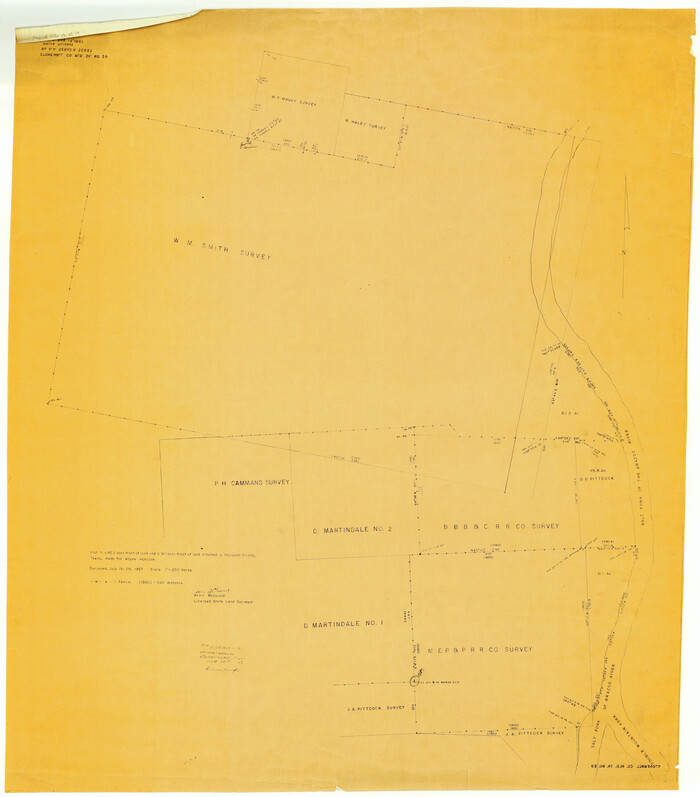

Print $20.00
- Digital $50.00
Stonewall County Rolled Sketch 29
Size 43.1 x 37.9 inches
Map/Doc 9969
Brooks County Working Sketch 10
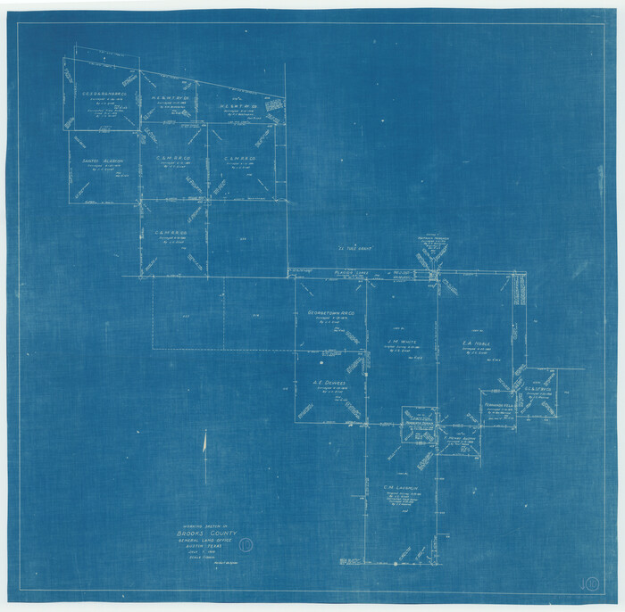

Print $20.00
- Digital $50.00
Brooks County Working Sketch 10
1939
Size 32.1 x 32.8 inches
Map/Doc 67794
Franklin County Boundary File 2
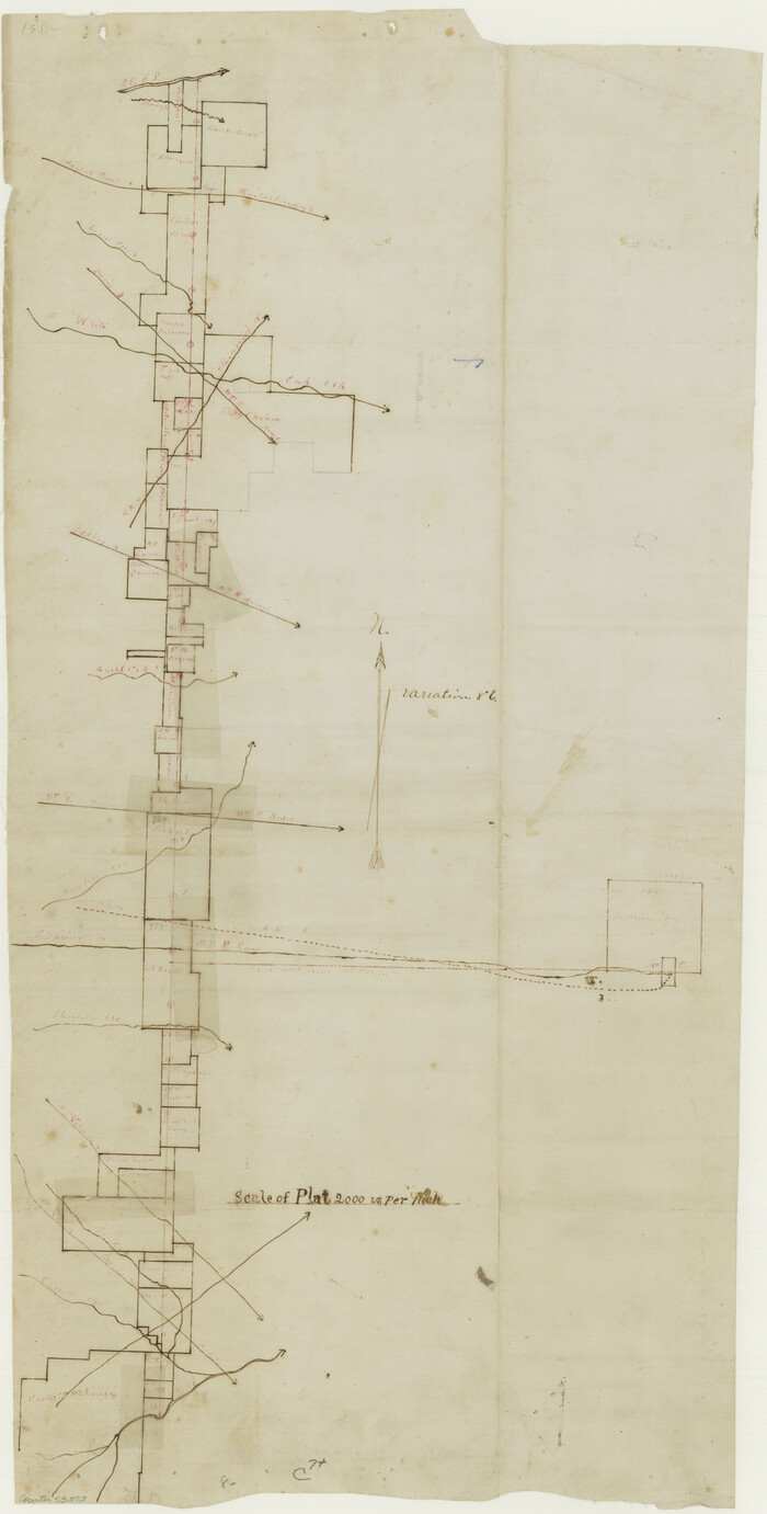

Print $60.00
- Digital $50.00
Franklin County Boundary File 2
Size 26.1 x 13.2 inches
Map/Doc 53573
You may also like
Howard County


Print $20.00
- Digital $50.00
Howard County
1922
Size 41.3 x 35.2 inches
Map/Doc 73185
Coast Chart No. 211 - Padre I. and Laguna Madre, Lat. 27° 12' to Lat. 26° 33', Texas


Print $20.00
- Digital $50.00
Coast Chart No. 211 - Padre I. and Laguna Madre, Lat. 27° 12' to Lat. 26° 33', Texas
1890
Size 41.0 x 33.4 inches
Map/Doc 73501
General Highway Map, Callahan County, Texas


Print $20.00
General Highway Map, Callahan County, Texas
1940
Size 25.3 x 18.4 inches
Map/Doc 79037
Intracoastal Waterway in Texas - Corpus Christi to Point Isabel including Arroyo Colorado to Mo. Pac. R.R. Bridge Near Harlingen


Print $20.00
- Digital $50.00
Intracoastal Waterway in Texas - Corpus Christi to Point Isabel including Arroyo Colorado to Mo. Pac. R.R. Bridge Near Harlingen
1933
Size 27.5 x 40.6 inches
Map/Doc 61869
Galveston County Sketch File 15


Print $4.00
- Digital $50.00
Galveston County Sketch File 15
Size 6.7 x 3.7 inches
Map/Doc 23382
Fractional Township No. 7 South Range No. 2 West of the Indian Meridian, Indian Territory
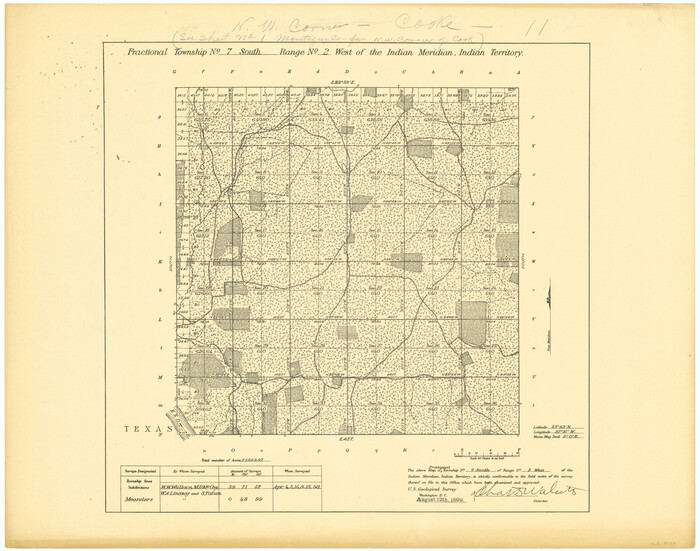

Print $20.00
- Digital $50.00
Fractional Township No. 7 South Range No. 2 West of the Indian Meridian, Indian Territory
1898
Size 19.2 x 24.4 inches
Map/Doc 75195
Galveston County Rolled Sketch 40A


Print $20.00
- Digital $50.00
Galveston County Rolled Sketch 40A
1988
Size 42.0 x 46.0 inches
Map/Doc 9020
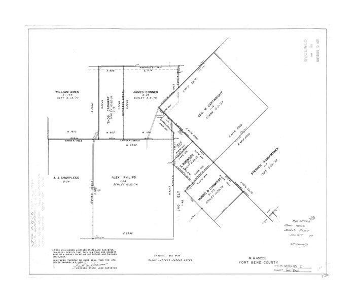
Fort Bend County Rolled Sketch 2

Print $20.00
- Digital $50.00
Fort Bend County Rolled Sketch 2
1954
Size 24.4 x 28.6 inches
Map/Doc 5892
Dimmit County Rolled Sketch 22


Print $20.00
- Digital $50.00
Dimmit County Rolled Sketch 22
2012
Size 31.5 x 24.0 inches
Map/Doc 93629
Galveston County Sketch File 26


Print $4.00
- Digital $50.00
Galveston County Sketch File 26
1860
Size 11.8 x 5.7 inches
Map/Doc 23397
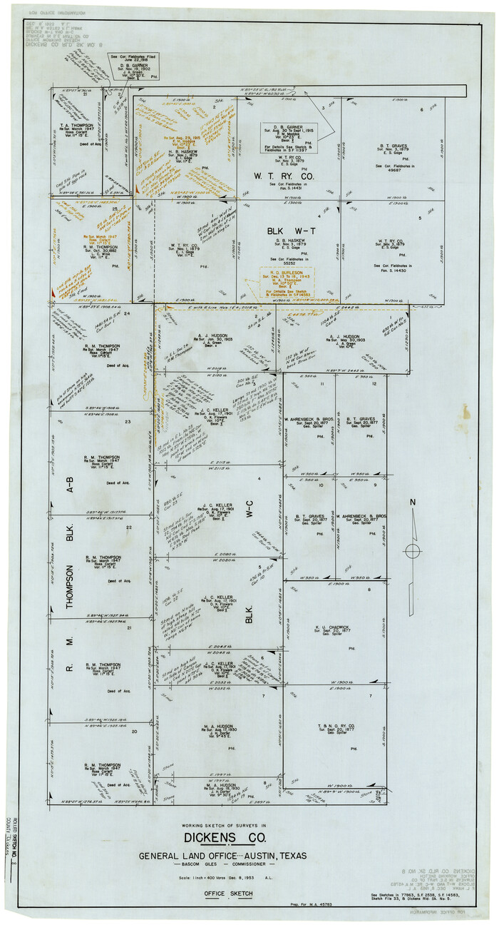
Dickens County Rolled Sketch 8

Print $20.00
- Digital $50.00
Dickens County Rolled Sketch 8
1953
Size 42.9 x 23.7 inches
Map/Doc 5707
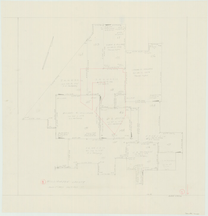
Williamson County Working Sketch 9

Print $20.00
- Digital $50.00
Williamson County Working Sketch 9
1954
Size 31.2 x 30.0 inches
Map/Doc 72569

