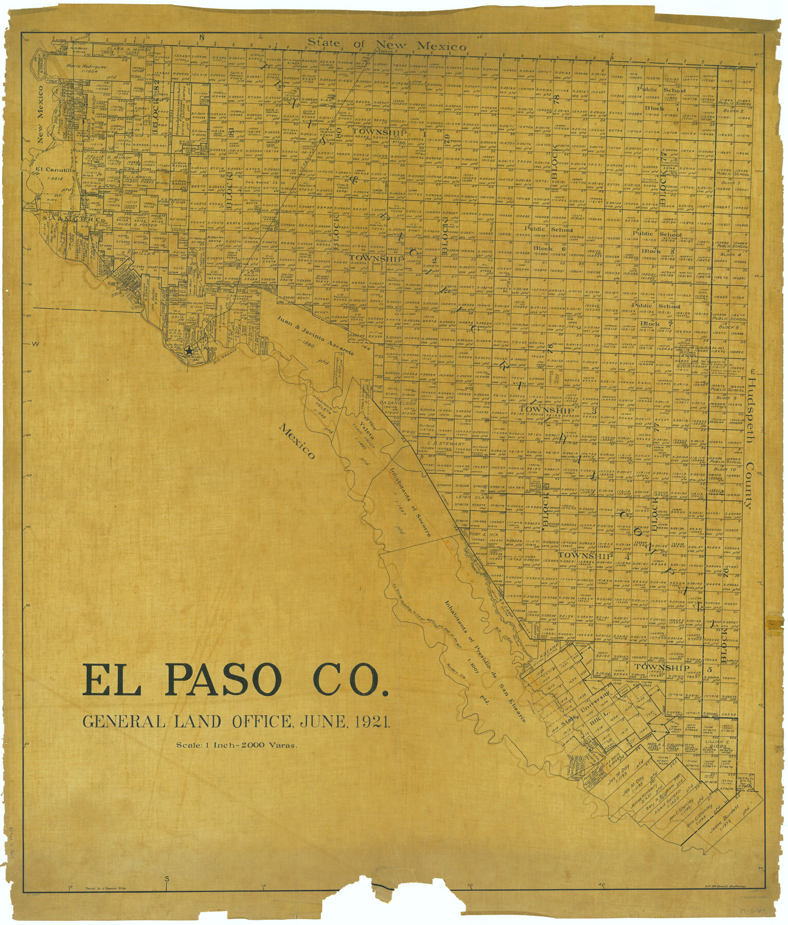
El Paso Co.
RM-2-71
-
Map/Doc
66816
-
Collection
General Map Collection
-
Object Dates
1921 (Creation Date)
-
People and Organizations
Texas General Land Office (Publisher)
H.F. McDonald (Draftsman)
H.F. McDonald (Compiler)
-
Counties
El Paso
-
Subjects
County
-
Height x Width
48.8 x 41.5 inches
124.0 x 105.4 cm
-
Comments
Traced by J. Bascom Giles.
Part of: General Map Collection
Trinity County Working Sketch 18

Print $20.00
- Digital $50.00
Trinity County Working Sketch 18
1982
Size 13.4 x 11.1 inches
Map/Doc 69467
Menard County Working Sketch 17

Print $40.00
- Digital $50.00
Menard County Working Sketch 17
1946
Size 59.0 x 42.9 inches
Map/Doc 70964
Montague County Working Sketch 21

Print $20.00
- Digital $50.00
Montague County Working Sketch 21
1952
Size 33.1 x 39.5 inches
Map/Doc 71087
Harris County Sketch File 69a

Print $20.00
- Digital $50.00
Harris County Sketch File 69a
1938
Size 19.4 x 21.3 inches
Map/Doc 11663
San Saba County Sketch File 14c

Print $40.00
- Digital $50.00
San Saba County Sketch File 14c
1894
Size 17.3 x 14.4 inches
Map/Doc 36452
Map of Limestone County

Print $20.00
- Digital $50.00
Map of Limestone County
1877
Size 24.1 x 26.9 inches
Map/Doc 83012
Hays County Working Sketch 22

Print $20.00
- Digital $50.00
Hays County Working Sketch 22
2000
Size 47.1 x 36.9 inches
Map/Doc 76051
Cameron County Rolled Sketch Z

Print $20.00
- Digital $50.00
Cameron County Rolled Sketch Z
1936
Size 24.6 x 31.3 inches
Map/Doc 5400
Pecos County Sketch File 68

Print $6.00
- Digital $50.00
Pecos County Sketch File 68
1920
Size 14.4 x 8.8 inches
Map/Doc 33866
Webb County Sketch File 14c

Print $20.00
- Digital $50.00
Webb County Sketch File 14c
1892
Size 20.5 x 13.0 inches
Map/Doc 12633
Flight Mission No. CRK-8P, Frame 100, Refugio County

Print $20.00
- Digital $50.00
Flight Mission No. CRK-8P, Frame 100, Refugio County
1956
Size 18.2 x 22.0 inches
Map/Doc 86961
Parker County Working Sketch 23

Print $20.00
- Digital $50.00
Parker County Working Sketch 23
2007
Map/Doc 87924
You may also like
The Chief Justice County of Bexar. Lands in Conflict with Milam County

Print $20.00
The Chief Justice County of Bexar. Lands in Conflict with Milam County
2020
Size 14.6 x 21.6 inches
Map/Doc 96039
Burnet County Sketch File 29

Print $4.00
- Digital $50.00
Burnet County Sketch File 29
1874
Size 10.1 x 8.1 inches
Map/Doc 16744
Map of 4th Section of 54.68 Miles East from Franklin, Rio Grande Division T. and P. Ry.

Print $40.00
- Digital $50.00
Map of 4th Section of 54.68 Miles East from Franklin, Rio Grande Division T. and P. Ry.
1881
Size 150.0 x 21.9 inches
Map/Doc 64639
Rusk County Rolled Sketch 13

Print $20.00
- Digital $50.00
Rusk County Rolled Sketch 13
Size 30.1 x 26.4 inches
Map/Doc 7548
General Highway Map, Lynn County, Texas

Print $20.00
General Highway Map, Lynn County, Texas
1961
Size 18.1 x 24.6 inches
Map/Doc 79580
Angelina County Working Sketch 16

Print $20.00
- Digital $50.00
Angelina County Working Sketch 16
1935
Size 31.0 x 27.0 inches
Map/Doc 67097
General Highway Map, Palo Pinto County, Texas

Print $20.00
General Highway Map, Palo Pinto County, Texas
1961
Size 18.3 x 24.4 inches
Map/Doc 79623
Nueces County Rolled Sketch 116

Print $40.00
- Digital $50.00
Nueces County Rolled Sketch 116
Size 29.6 x 58.3 inches
Map/Doc 7141
Hunt County Working Sketch 11

Print $20.00
- Digital $50.00
Hunt County Working Sketch 11
2002
Size 32.1 x 29.6 inches
Map/Doc 66358
Wichita County Sketch File 24

Print $20.00
- Digital $50.00
Wichita County Sketch File 24
1919
Size 17.3 x 24.0 inches
Map/Doc 12684
Duval County Rolled Sketch E

Print $20.00
- Digital $50.00
Duval County Rolled Sketch E
1935
Size 36.4 x 37.7 inches
Map/Doc 8808
[Sketch of Surveys in Ward County, Texas]
![75767, [Sketch of Surveys in Ward County, Texas], Maddox Collection](https://historictexasmaps.com/wmedia_w700/maps/75767.tif.jpg)
Print $20.00
- Digital $50.00
[Sketch of Surveys in Ward County, Texas]
Size 9.7 x 37.1 inches
Map/Doc 75767