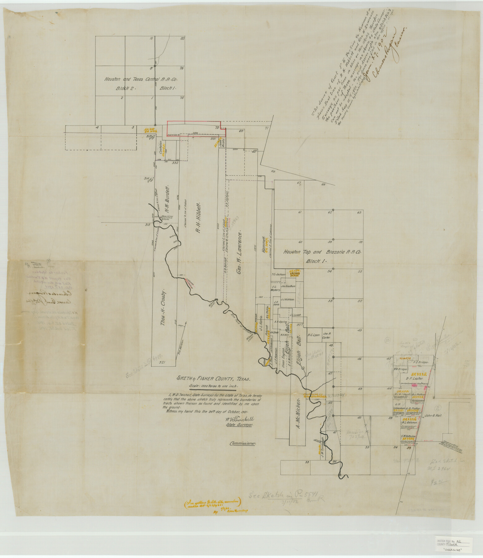
Fisher County Sketch File A2
Sketch in Fisher County, Texas, W. D. Twichell's Sk. of surs. lying around The H.T.&B. Ry. Co. Block 1
-
Map/Doc
10450
-
Collection
General Map Collection
-
Object Dates
1901/10/24 (Creation Date)
1901/10/25 (File Date)
-
People and Organizations
W.D. Twichell (Surveyor/Engineer)
-
Counties
Fisher
-
Subjects
Surveying Sketch File
-
Height x Width
35.8 x 31.0 inches
90.9 x 78.7 cm
-
Medium
paper, manuscript
-
Scale
1" = 1000 varas
-
Features
Elm Fork of the Brazos River
China Creek
Part of: General Map Collection
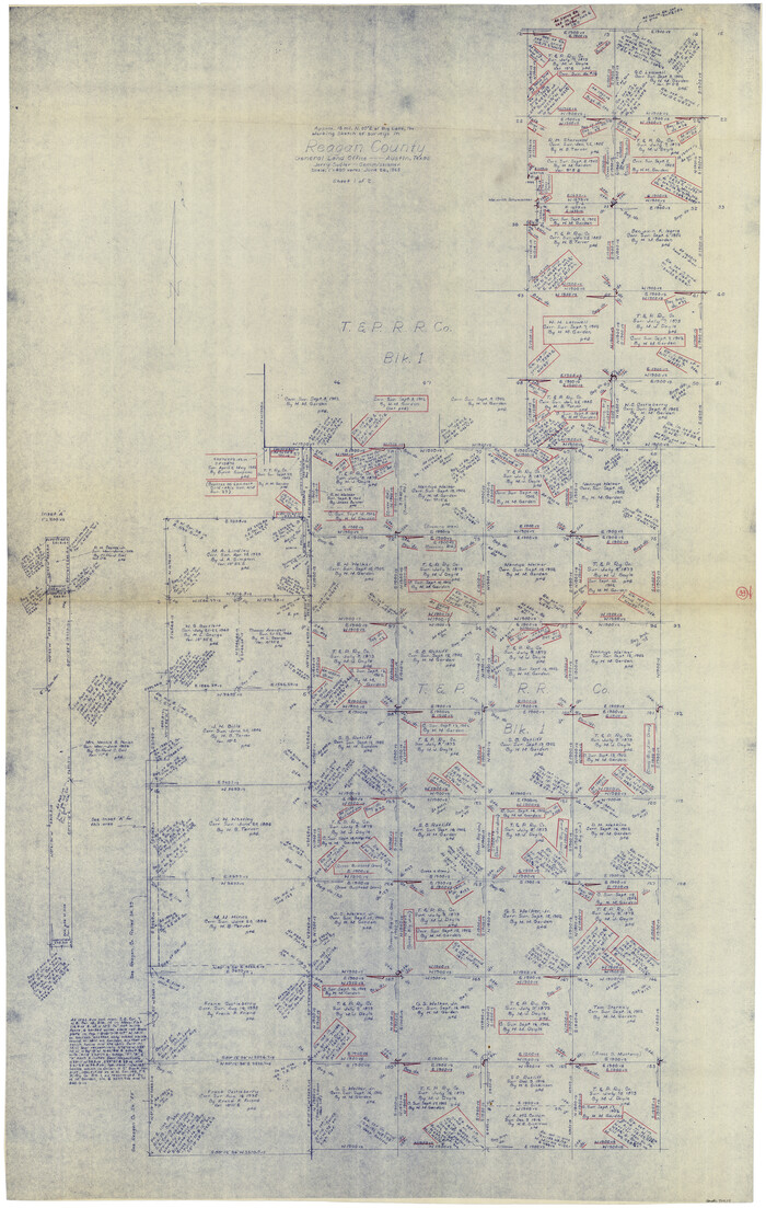
Reagan County Working Sketch 33
Print $40.00
- Digital $50.00
Reagan County Working Sketch 33
1965
Size 66.2 x 42.0 inches
Map/Doc 71875
Texas Gulf Coast Map from the Sabine River to the Rio Grande as subdivided for mineral development

Print $40.00
- Digital $50.00
Texas Gulf Coast Map from the Sabine River to the Rio Grande as subdivided for mineral development
1948
Size 49.3 x 55.7 inches
Map/Doc 2906
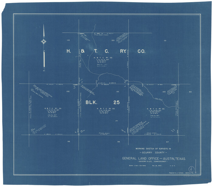
Scurry County Working Sketch 4
Print $20.00
- Digital $50.00
Scurry County Working Sketch 4
1944
Size 23.1 x 26.5 inches
Map/Doc 63833
Map of Donley County

Print $20.00
- Digital $50.00
Map of Donley County
1894
Size 44.6 x 35.8 inches
Map/Doc 16823
Sutton County Working Sketch 12

Print $40.00
- Digital $50.00
Sutton County Working Sketch 12
1972
Size 66.8 x 37.3 inches
Map/Doc 62355
[Sketch of Surveys on San Antonio Road]
![41, [Sketch of Surveys on San Antonio Road], General Map Collection](https://historictexasmaps.com/wmedia_w700/maps/41.tif.jpg)
Print $20.00
- Digital $50.00
[Sketch of Surveys on San Antonio Road]
1840
Size 20.6 x 15.4 inches
Map/Doc 41
Red River, Bois D'Arc Creek Floodway Sheet No. 6

Print $20.00
- Digital $50.00
Red River, Bois D'Arc Creek Floodway Sheet No. 6
1917
Size 28.9 x 23.4 inches
Map/Doc 69661
Winkler County Working Sketch 15

Print $20.00
- Digital $50.00
Winkler County Working Sketch 15
1964
Size 29.2 x 30.5 inches
Map/Doc 72609
Blanco County Working Sketch 9

Print $20.00
- Digital $50.00
Blanco County Working Sketch 9
1935
Size 11.3 x 18.0 inches
Map/Doc 67369
Hopkins County Sketch File 21

Print $24.00
- Digital $50.00
Hopkins County Sketch File 21
1871
Size 8.1 x 12.5 inches
Map/Doc 26727
Concho, San Saba & Llano Valley Railway, Sterling City Branch, Texas. Right of Way and Track Map

Print $40.00
- Digital $50.00
Concho, San Saba & Llano Valley Railway, Sterling City Branch, Texas. Right of Way and Track Map
1910
Size 17.9 x 120.8 inches
Map/Doc 64436
Kimble County Rolled Sketch 36

Print $20.00
- Digital $50.00
Kimble County Rolled Sketch 36
Size 27.5 x 22.4 inches
Map/Doc 6526
You may also like
Wharton County Boundary File 1b

Print $20.00
- Digital $50.00
Wharton County Boundary File 1b
Size 15.1 x 26.6 inches
Map/Doc 59855
Jeff Davis County Sketch File 48

Print $3.00
- Digital $50.00
Jeff Davis County Sketch File 48
2002
Size 14.0 x 8.5 inches
Map/Doc 82923
Corpus Christi Bay

Print $20.00
- Digital $50.00
Corpus Christi Bay
1971
Size 36.2 x 47.6 inches
Map/Doc 73473

Uvalde County Working Sketch 9

Print $20.00
- Digital $50.00
Uvalde County Working Sketch 9
1942
Size 18.3 x 24.4 inches
Map/Doc 72079
Blanco County Working Sketch 19

Print $20.00
- Digital $50.00
Blanco County Working Sketch 19
1960
Size 24.4 x 29.2 inches
Map/Doc 67379
[Sketch for Mineral Application 13440]
![65673, [Sketch for Mineral Application 13440], General Map Collection](https://historictexasmaps.com/wmedia_w700/maps/65673-1.tif.jpg)
Print $40.00
- Digital $50.00
[Sketch for Mineral Application 13440]
Size 42.4 x 66.0 inches
Map/Doc 65673
[Surveys along the San Marcos River]
![158, [Surveys along the San Marcos River], General Map Collection](https://historictexasmaps.com/wmedia_w700/maps/158.tif.jpg)
Print $2.00
- Digital $50.00
[Surveys along the San Marcos River]
Size 7.7 x 5.8 inches
Map/Doc 158
Throckmorton County Working Sketch 11

Print $20.00
- Digital $50.00
Throckmorton County Working Sketch 11
1994
Size 43.9 x 34.1 inches
Map/Doc 62120
Frio County Rolled Sketch HM

Print $20.00
- Digital $50.00
Frio County Rolled Sketch HM
1935
Size 41.2 x 30.6 inches
Map/Doc 8898
Current Miscellaneous File 40

Print $10.00
- Digital $50.00
Current Miscellaneous File 40
Size 14.2 x 8.7 inches
Map/Doc 73972
Kimble County Working Sketch 49

Print $20.00
- Digital $50.00
Kimble County Working Sketch 49
1952
Size 28.8 x 22.5 inches
Map/Doc 70117