[Surveys along Gilleland and Wilbarger Creek in the Travis District]
Atlas E, Page 12, Sketch 6 (E-12-6)
E-12-6
-
Map/Doc
111
-
Collection
General Map Collection
-
Object Dates
1841/5/13 (Creation Date)
-
People and Organizations
H.L. Upshur (GLO Clerk)
-
Counties
Travis
-
Subjects
Atlas
-
Height x Width
8.1 x 11.2 inches
20.6 x 28.4 cm
-
Medium
paper, manuscript
-
Scale
[1:4000]
-
Comments
Conserved in 2004.
-
Features
Gilleland Creek
Wilbargers Creek
Part of: General Map Collection
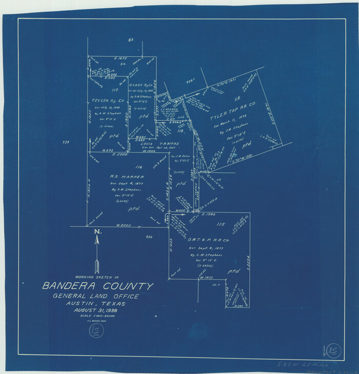
Bandera County Working Sketch 15

Print $20.00
- Digital $50.00
Bandera County Working Sketch 15
1938
Size 18.1 x 17.4 inches
Map/Doc 67608
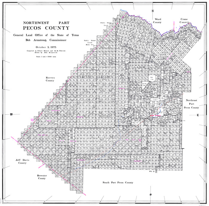
Northwest Part Pecos County

Print $20.00
- Digital $50.00
Northwest Part Pecos County
1975
Size 42.4 x 43.1 inches
Map/Doc 73261
Flight Mission No. BRE-1P, Frame 75, Nueces County


Print $20.00
- Digital $50.00
Flight Mission No. BRE-1P, Frame 75, Nueces County
1956
Size 18.4 x 22.2 inches
Map/Doc 86657
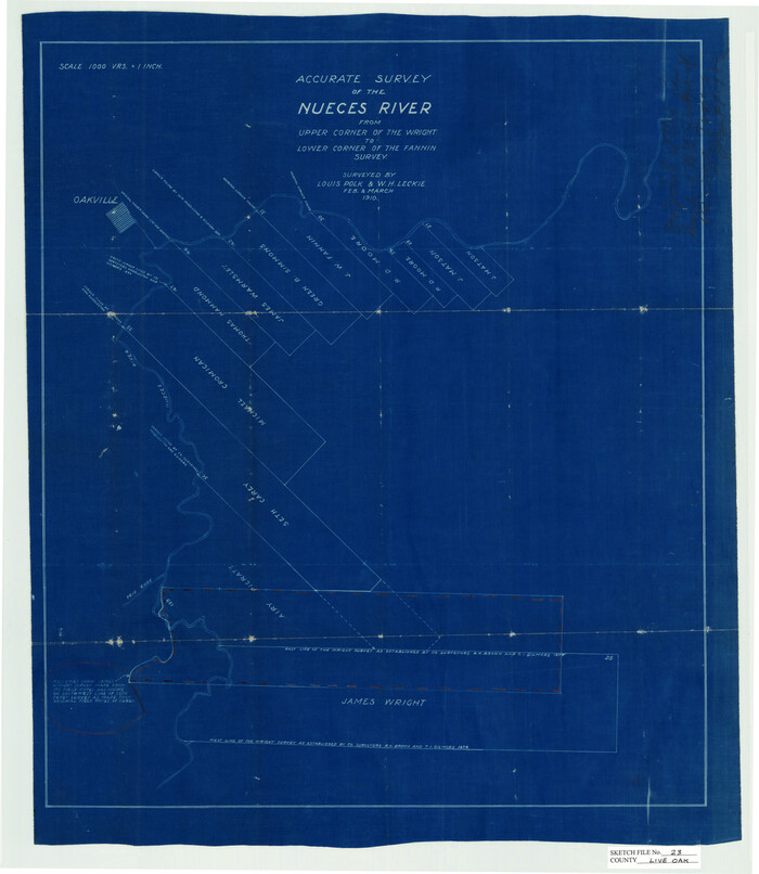
Live Oak County Sketch File 23

Print $20.00
- Digital $50.00
Live Oak County Sketch File 23
1910
Size 22.6 x 19.6 inches
Map/Doc 12009
Travis County Rolled Sketch 11


Print $20.00
- Digital $50.00
Travis County Rolled Sketch 11
Size 23.3 x 37.9 inches
Map/Doc 8014
Montgomery County Rolled Sketch 42
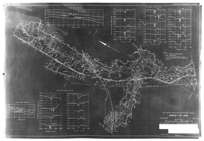

Print $20.00
- Digital $50.00
Montgomery County Rolled Sketch 42
1939
Size 13.9 x 20.2 inches
Map/Doc 6820
Terrell County Working Sketch 4


Print $20.00
- Digital $50.00
Terrell County Working Sketch 4
1914
Size 22.1 x 22.3 inches
Map/Doc 62153
Duval County Sketch File 4c1


Print $4.00
- Digital $50.00
Duval County Sketch File 4c1
1874
Size 10.4 x 7.9 inches
Map/Doc 21286
Colorado County Working Sketch 7
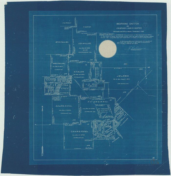

Print $20.00
- Digital $50.00
Colorado County Working Sketch 7
1922
Size 23.8 x 23.2 inches
Map/Doc 68107
Hall County Working Sketch 6


Print $20.00
- Digital $50.00
Hall County Working Sketch 6
1954
Size 21.8 x 21.6 inches
Map/Doc 63334
Van Zandt County
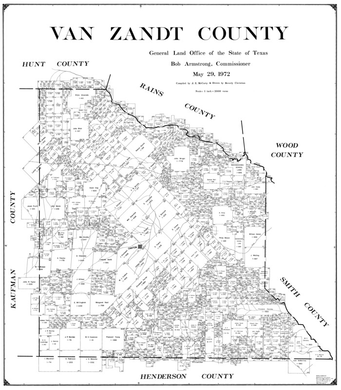

Print $20.00
- Digital $50.00
Van Zandt County
1972
Size 45.8 x 40.1 inches
Map/Doc 77446
Real County Working Sketch 55


Print $20.00
- Digital $50.00
Real County Working Sketch 55
1960
Size 21.6 x 35.1 inches
Map/Doc 71947
You may also like
Aransas County Sketch File 15b
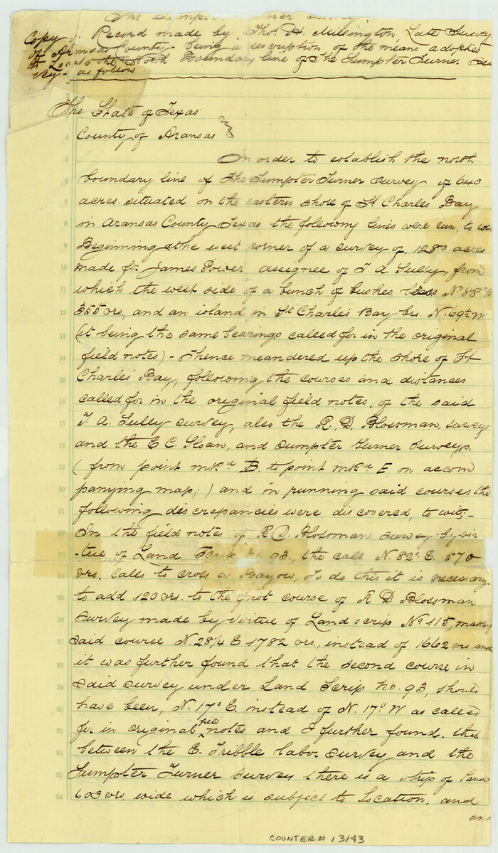

Print $10.00
- Digital $50.00
Aransas County Sketch File 15b
1891
Size 13.8 x 8.1 inches
Map/Doc 13143
University Land Loving-Ward-Winkler Counties


Print $40.00
- Digital $50.00
University Land Loving-Ward-Winkler Counties
1931
Size 47.9 x 63.2 inches
Map/Doc 2415
The Official Map of the City of El Paso, State of Texas


Print $40.00
The Official Map of the City of El Paso, State of Texas
1889
Size 83.6 x 97.2 inches
Map/Doc 89619
Brazoria County Sketch File 13


Print $40.00
- Digital $50.00
Brazoria County Sketch File 13
Size 23.8 x 23.0 inches
Map/Doc 10950
Presidio County Sketch File 45
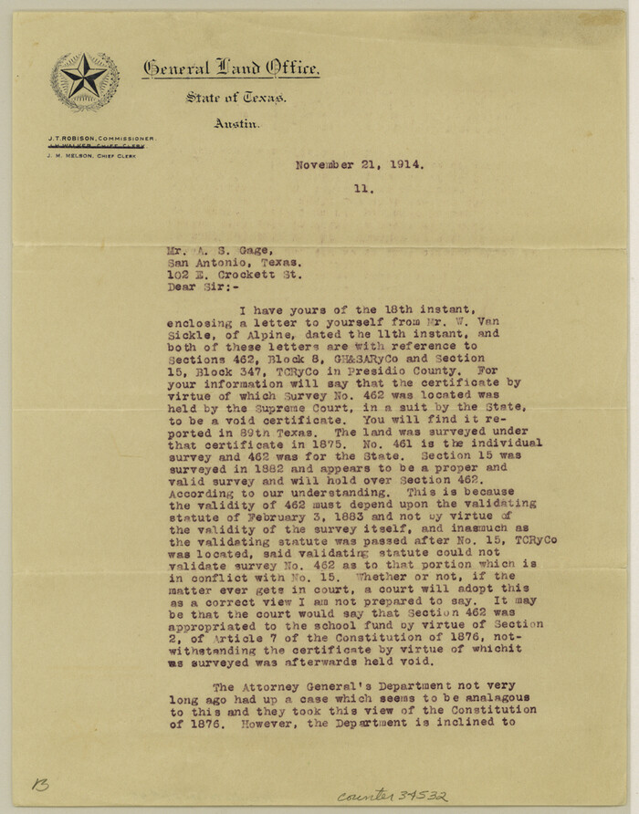

Print $6.00
- Digital $50.00
Presidio County Sketch File 45
1914
Size 11.3 x 8.8 inches
Map/Doc 34532
Denton County Rolled Sketch 6


Print $20.00
- Digital $50.00
Denton County Rolled Sketch 6
1983
Size 25.4 x 37.2 inches
Map/Doc 5702
Flight Mission No. BRA-8M, Frame 64, Jefferson County
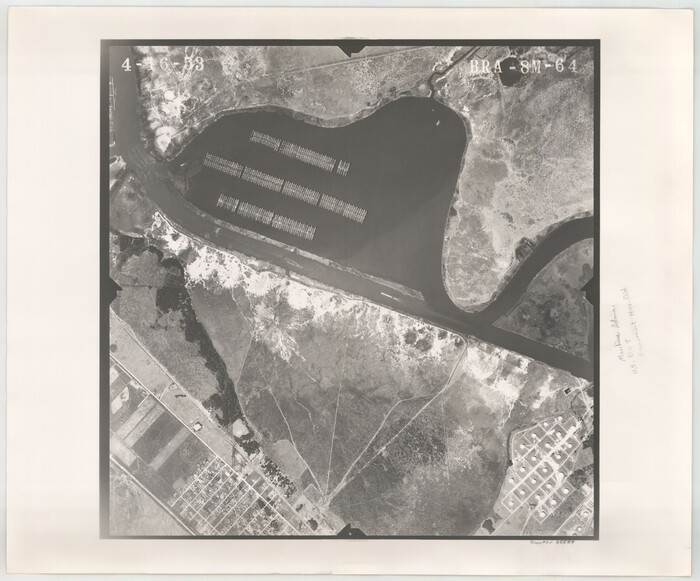

Print $20.00
- Digital $50.00
Flight Mission No. BRA-8M, Frame 64, Jefferson County
1953
Size 18.5 x 22.3 inches
Map/Doc 85584
Bell County Rolled Sketch 2
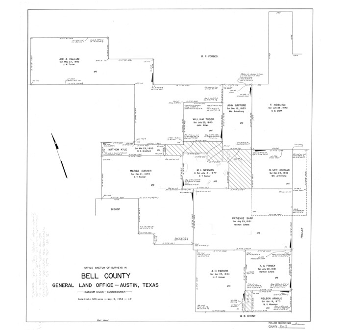

Print $20.00
- Digital $50.00
Bell County Rolled Sketch 2
1954
Size 27.0 x 28.0 inches
Map/Doc 5133
Sketch Showing Division Fence Shelton- Matador, Oldham County
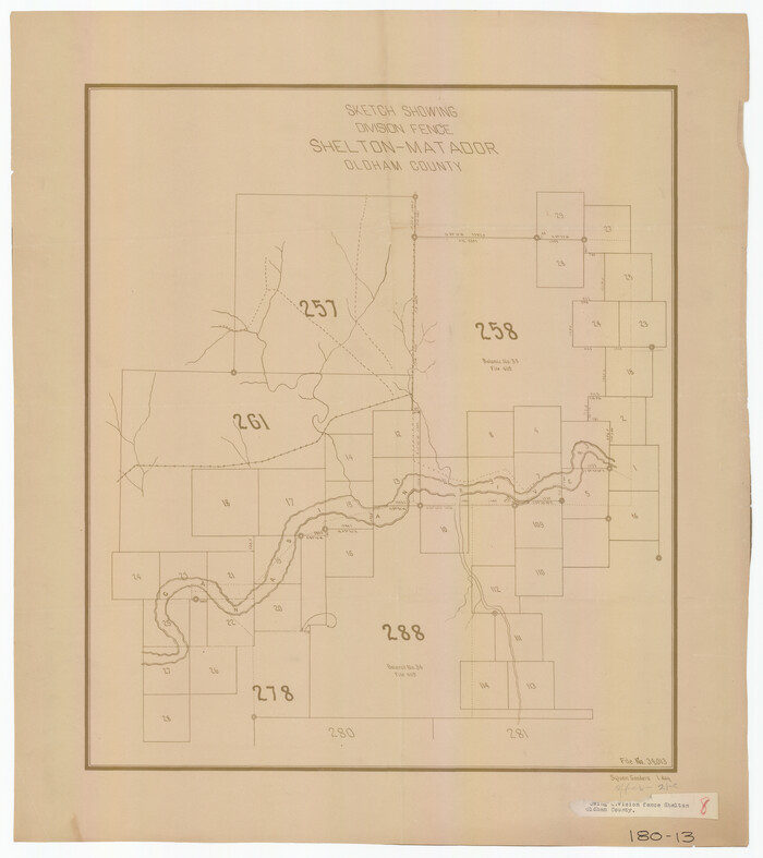

Print $20.00
- Digital $50.00
Sketch Showing Division Fence Shelton- Matador, Oldham County
Size 21.6 x 24.4 inches
Map/Doc 91484
Angelina County Working Sketch 9
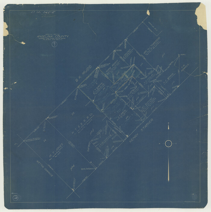

Print $20.00
- Digital $50.00
Angelina County Working Sketch 9
1924
Size 28.5 x 28.5 inches
Map/Doc 67090
[Sketch Showing Surveys in Dimmit County, Texas]
![75783, [Sketch Showing Surveys in Dimmit County, Texas], Maddox Collection](https://historictexasmaps.com/wmedia_w700/maps/75783.tif.jpg)
![75783, [Sketch Showing Surveys in Dimmit County, Texas], Maddox Collection](https://historictexasmaps.com/wmedia_w700/maps/75783.tif.jpg)
Print $20.00
- Digital $50.00
[Sketch Showing Surveys in Dimmit County, Texas]
Size 42.3 x 31.8 inches
Map/Doc 75783
![111, [Surveys along Gilleland and Wilbarger Creek in the Travis District], General Map Collection](https://historictexasmaps.com/wmedia_w1800h1800/maps/111.tif.jpg)
