Val Verde County Sketch File B2
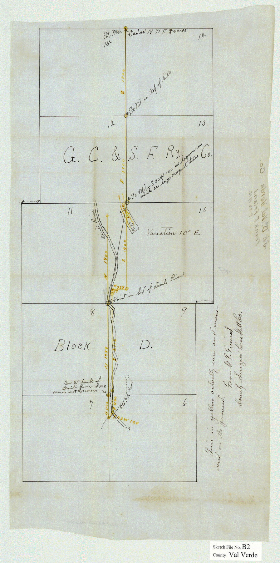
[Sketch of surveys in G. C. & S. F. Ry. Co. Block D]
-
Map/Doc
12544
-
Collection
General Map Collection
-
Object Dates
9/23/1910 (Creation Date)
-
People and Organizations
Frank F. Friend (Surveyor/Engineer)
-
Counties
Val Verde
-
Subjects
Surveying Sketch File
-
Height x Width
24.5 x 12.2 inches
62.2 x 31.0 cm
-
Medium
paper, manuscript
-
Features
Devil's River
Old San Antonio Road
Part of: General Map Collection
Terrell County Rolled Sketch 49

Print $20.00
- Digital $50.00
Terrell County Rolled Sketch 49
1962
Size 17.3 x 24.1 inches
Map/Doc 7951
Flight Mission No. DQN-2K, Frame 71, Calhoun County

Print $20.00
- Digital $50.00
Flight Mission No. DQN-2K, Frame 71, Calhoun County
1953
Size 18.9 x 22.4 inches
Map/Doc 84263
Cooke County Sketch File 19

Print $8.00
- Digital $50.00
Cooke County Sketch File 19
1861
Size 7.9 x 6.1 inches
Map/Doc 19260
Flight Mission No. BQR-5K, Frame 68, Brazoria County

Print $20.00
- Digital $50.00
Flight Mission No. BQR-5K, Frame 68, Brazoria County
1952
Size 18.8 x 22.5 inches
Map/Doc 84013
Red River County Working Sketch 51

Print $20.00
- Digital $50.00
Red River County Working Sketch 51
1970
Size 31.2 x 28.5 inches
Map/Doc 72034
Kerr County State Real Property Sketch 2

Print $2.00
- Digital $50.00
Kerr County State Real Property Sketch 2
2007
Size 10.7 x 8.6 inches
Map/Doc 88675
Reeves County Working Sketch 11

Print $20.00
- Digital $50.00
Reeves County Working Sketch 11
1957
Size 27.7 x 36.9 inches
Map/Doc 63454
Flight Mission No. BQY-4M, Frame 114, Harris County

Print $20.00
- Digital $50.00
Flight Mission No. BQY-4M, Frame 114, Harris County
1953
Size 18.7 x 22.5 inches
Map/Doc 85281
Denton County Sketch File 22

Print $4.00
- Digital $50.00
Denton County Sketch File 22
1872
Size 8.5 x 16.0 inches
Map/Doc 20746
Knox County Working Sketch 16

Print $20.00
- Digital $50.00
Knox County Working Sketch 16
1963
Size 21.9 x 22.0 inches
Map/Doc 70258
Trinity River, Ham Crossing Sheet/Waxahachie Creek

Print $6.00
- Digital $50.00
Trinity River, Ham Crossing Sheet/Waxahachie Creek
1930
Size 31.4 x 31.1 inches
Map/Doc 65235
Flight Mission No. BRA-16M, Frame 60, Jefferson County

Print $20.00
- Digital $50.00
Flight Mission No. BRA-16M, Frame 60, Jefferson County
1953
Size 18.6 x 22.3 inches
Map/Doc 85677
You may also like
McMullen County Working Sketch 42

Print $20.00
- Digital $50.00
McMullen County Working Sketch 42
1980
Size 35.6 x 32.6 inches
Map/Doc 70743
General Highway Map, Castro County, Texas

Print $20.00
General Highway Map, Castro County, Texas
1940
Size 18.5 x 25.1 inches
Map/Doc 79043
Duval County Sketch File 14

Print $2.00
- Digital $50.00
Duval County Sketch File 14
Size 10.3 x 8.5 inches
Map/Doc 21308

Gaines County Sketch File 23

Print $20.00
- Digital $50.00
Gaines County Sketch File 23
1964
Size 20.0 x 22.8 inches
Map/Doc 11529
Chart of the Rio Bravo del Norte traced from a survey made by Henry Austin by Lieut. Bowman, 3d. Infy.

Print $20.00
- Digital $50.00
Chart of the Rio Bravo del Norte traced from a survey made by Henry Austin by Lieut. Bowman, 3d. Infy.
1866
Size 18.1 x 27.2 inches
Map/Doc 72890
Dawson County Working Sketch 3

Print $20.00
- Digital $50.00
Dawson County Working Sketch 3
1920
Size 16.1 x 14.8 inches
Map/Doc 68547
Bexar County Boundary File 2a

Print $12.00
- Digital $50.00
Bexar County Boundary File 2a
Size 10.0 x 8.1 inches
Map/Doc 50530
Webb County Working Sketch 24

Print $20.00
- Digital $50.00
Webb County Working Sketch 24
1928
Size 24.5 x 23.9 inches
Map/Doc 72389
Hutchinson County Rolled Sketch 38

Print $40.00
- Digital $50.00
Hutchinson County Rolled Sketch 38
1955
Size 43.6 x 67.7 inches
Map/Doc 9248
Descripción y Mapa de la Nueva Provincia, poblada de Bárbaros, situada en la Costa del Seno Mexicano, desde el puerto de Tampico hasta la Provincia de Texas

Descripción y Mapa de la Nueva Provincia, poblada de Bárbaros, situada en la Costa del Seno Mexicano, desde el puerto de Tampico hasta la Provincia de Texas
1744
Size 32.0 x 29.1 inches
Map/Doc 94558
Map of a part of Laguna Madre showing subdivision for mineral development

Print $20.00
- Digital $50.00
Map of a part of Laguna Madre showing subdivision for mineral development
1950
Size 40.7 x 26.9 inches
Map/Doc 2917