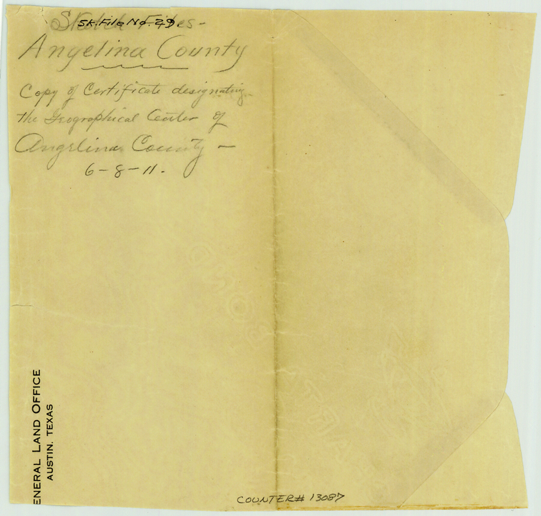
Angelina County Sketch File 29
[Copy of certificate designating the geographical center of Angelina County]
-
Map/Doc
13087
-
Collection
General Map Collection
-
Object Dates
1911/6/8 (Creation Date)
-
People and Organizations
J.T. Robison (GLO Commissioner)
-
Counties
Angelina
-
Subjects
Surveying Sketch File
-
Height x Width
8.0 x 8.4 inches
20.3 x 21.3 cm
-
Medium
paper, print
Part of: General Map Collection
Bexar County Rolled Sketch 6

Print $40.00
- Digital $50.00
Bexar County Rolled Sketch 6
Size 36.6 x 54.9 inches
Map/Doc 81902
Aransas County NRC Article 33.136 Location Key Sheet

Print $20.00
- Digital $50.00
Aransas County NRC Article 33.136 Location Key Sheet
1975
Size 27.0 x 23.0 inches
Map/Doc 77004

Henderson County Rolled Sketch 11

Print $20.00
- Digital $50.00
Henderson County Rolled Sketch 11
1915
Size 27.2 x 40.3 inches
Map/Doc 75954
Williamson County Sketch File 7

Print $4.00
- Digital $50.00
Williamson County Sketch File 7
1847
Size 12.7 x 7.7 inches
Map/Doc 40316
Atascosa County Working Sketch 24

Print $20.00
- Digital $50.00
Atascosa County Working Sketch 24
1958
Size 34.0 x 43.1 inches
Map/Doc 67220
Gonzales County Sketch File 5

Print $16.00
- Digital $50.00
Gonzales County Sketch File 5
1879
Size 10.0 x 8.1 inches
Map/Doc 24377
Nolan County Sketch File 18

Print $8.00
- Digital $50.00
Nolan County Sketch File 18
Size 14.3 x 8.9 inches
Map/Doc 32489
Crockett County Sketch File A1, A3, D, and DA2

Print $44.00
- Digital $50.00
Crockett County Sketch File A1, A3, D, and DA2
Size 14.3 x 8.8 inches
Map/Doc 19626
Map of Polk County

Print $20.00
- Digital $50.00
Map of Polk County
1856
Size 22.1 x 23.7 inches
Map/Doc 3961

Culberson Co.

Print $40.00
- Digital $50.00
Culberson Co.
1943
Size 52.2 x 33.2 inches
Map/Doc 73124
You may also like
Kent County Sketch File 10a

Print $4.00
- Digital $50.00
Kent County Sketch File 10a
Size 5.9 x 12.0 inches
Map/Doc 28836

General Highway Map, Lavaca County, Texas

Print $20.00
General Highway Map, Lavaca County, Texas
1961
Size 24.6 x 18.1 inches
Map/Doc 79566
Comanche County Sketch File 23

Print $4.00
- Digital $50.00
Comanche County Sketch File 23
Size 8.3 x 7.5 inches
Map/Doc 19111
Schleicher County

Print $40.00
- Digital $50.00
Schleicher County
1940
Size 39.4 x 56.0 inches
Map/Doc 63028
Martin County Working Sketch 1

Print $20.00
- Digital $50.00
Martin County Working Sketch 1
1922
Size 21.8 x 16.9 inches
Map/Doc 70819
[Stone, Kyle and Kyle Block M6]
![90403, [Stone, Kyle and Kyle Block M6], Twichell Survey Records](https://historictexasmaps.com/wmedia_w700/maps/90403-1.tif.jpg)
Print $2.00
- Digital $50.00
[Stone, Kyle and Kyle Block M6]
1904
Size 12.7 x 9.0 inches
Map/Doc 90403
San Jacinto County Working Sketch 37

Print $20.00
- Digital $50.00
San Jacinto County Working Sketch 37
1965
Size 32.7 x 42.6 inches
Map/Doc 63750

Bosque County, Texas

Print $20.00
- Digital $50.00
Bosque County, Texas
1879
Size 25.1 x 29.9 inches
Map/Doc 420
Tarrant County Working Sketch 11

Print $20.00
- Digital $50.00
Tarrant County Working Sketch 11
1986
Size 42.5 x 32.6 inches
Map/Doc 62428
Runnels County

Print $20.00
- Digital $50.00
Runnels County
1898
Size 43.3 x 36.9 inches
Map/Doc 63009