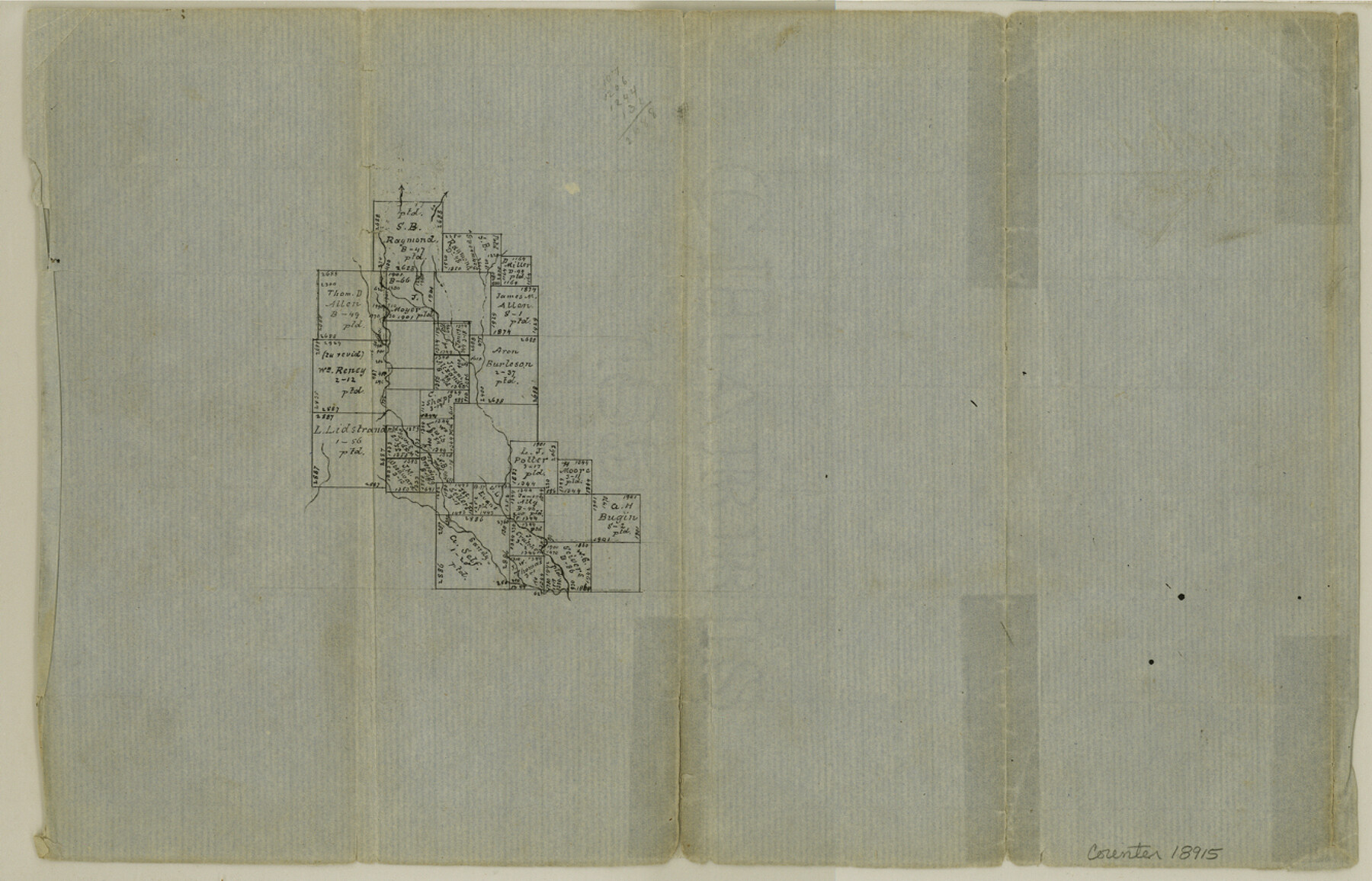
Colorado County Sketch File 3a
[Sketch of surveys on Sandy Creek]
-
Map/Doc
18915
-
Collection
General Map Collection
-
Counties
Colorado
-
Subjects
Surveying Sketch File
-
Height x Width
8.5 x 13.3 inches
21.6 x 33.8 cm
-
Medium
paper, manuscript
-
Features
Sandy Creek
Part of: General Map Collection
Freestone County Working Sketch 16

Print $20.00
- Digital $50.00
Freestone County Working Sketch 16
1980
Size 47.1 x 39.7 inches
Map/Doc 69258
Val Verde County Sketch File 57

Print $28.00
- Digital $50.00
Val Verde County Sketch File 57
2009
Size 11.0 x 8.5 inches
Map/Doc 89235
Archer County Sketch File 10

Print $5.00
- Digital $50.00
Archer County Sketch File 10
Size 10.2 x 15.9 inches
Map/Doc 13642
Galveston County NRC Article 33.136 Sketch 53

Print $24.00
- Digital $50.00
Galveston County NRC Article 33.136 Sketch 53
2009
Size 22.3 x 34.0 inches
Map/Doc 94609
Presidio County Rolled Sketch 53

Print $20.00
- Digital $50.00
Presidio County Rolled Sketch 53
1911
Size 23.9 x 18.2 inches
Map/Doc 7347
Palo Pinto County Working Sketch 24

Print $20.00
- Digital $50.00
Palo Pinto County Working Sketch 24
1990
Map/Doc 71407
Kimble County Working Sketch 12

Print $20.00
- Digital $50.00
Kimble County Working Sketch 12
1922
Size 27.6 x 19.5 inches
Map/Doc 70080
Flight Mission No. DIX-10P, Frame 64, Aransas County

Print $20.00
- Digital $50.00
Flight Mission No. DIX-10P, Frame 64, Aransas County
1956
Size 18.7 x 22.3 inches
Map/Doc 83925
Brewster County Rolled Sketch K1

Print $20.00
- Digital $50.00
Brewster County Rolled Sketch K1
Size 22.9 x 15.4 inches
Map/Doc 5322
Bee County Sketch File 10

Print $4.00
- Digital $50.00
Bee County Sketch File 10
Size 12.8 x 7.9 inches
Map/Doc 14291
Floyd County Working Sketch 9

Print $20.00
- Digital $50.00
Floyd County Working Sketch 9
1952
Size 31.5 x 35.9 inches
Map/Doc 69188
McMullen County Working Sketch 17

Print $20.00
- Digital $50.00
McMullen County Working Sketch 17
1941
Size 35.1 x 21.8 inches
Map/Doc 70718
You may also like
Angelina County Sketch File 5a

Print $4.00
- Digital $50.00
Angelina County Sketch File 5a
1857
Size 8.6 x 7.7 inches
Map/Doc 12931
Knox County Working Sketch 15

Print $20.00
- Digital $50.00
Knox County Working Sketch 15
1958
Size 29.5 x 32.4 inches
Map/Doc 70257
Trinity County Sketch File 14

Print $4.00
- Digital $50.00
Trinity County Sketch File 14
1862
Size 8.7 x 12.0 inches
Map/Doc 38540
Map of Victoria County

Print $20.00
- Digital $50.00
Map of Victoria County
1873
Size 20.9 x 19.3 inches
Map/Doc 4116
Jefferson County Working Sketch 19

Print $20.00
- Digital $50.00
Jefferson County Working Sketch 19
1956
Size 32.2 x 24.4 inches
Map/Doc 66562
Zavala County Sketch File 34

Print $4.00
- Digital $50.00
Zavala County Sketch File 34
1887
Size 13.0 x 8.5 inches
Map/Doc 41395
Polk County Sketch File 8

Print $4.00
- Digital $50.00
Polk County Sketch File 8
1859
Size 10.9 x 8.4 inches
Map/Doc 34134
Presidio County Sketch File 67

Print $6.00
- Digital $50.00
Presidio County Sketch File 67
1940
Size 11.3 x 8.9 inches
Map/Doc 34659
Harris County Rolled Sketch 28(1)

Print $39.00
- Digital $50.00
Harris County Rolled Sketch 28(1)
Size 10.0 x 15.3 inches
Map/Doc 45770
Dickens County, Texas

Print $20.00
- Digital $50.00
Dickens County, Texas
Size 33.7 x 39.8 inches
Map/Doc 92588
Brazoria County Working Sketch 36

Print $40.00
- Digital $50.00
Brazoria County Working Sketch 36
1981
Size 43.4 x 71.4 inches
Map/Doc 67521
Young County Rolled Sketch 2

Print $20.00
- Digital $50.00
Young County Rolled Sketch 2
Size 26.2 x 25.0 inches
Map/Doc 8292