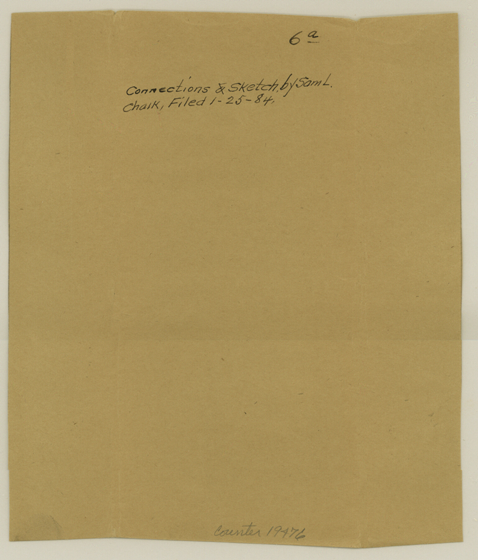
Cottle County Sketch File 6a
[Connections and sketch of surveys made for F. P. Knott]
-
Map/Doc
19476
-
Collection
General Map Collection
-
Object Dates
1884/1/25 (File Date)
-
People and Organizations
S.L. Chalk (Surveyor/Engineer)
D.N. Robinson (GLO Clerk)
-
Counties
Cottle
-
Subjects
Surveying Sketch File
-
Height x Width
8.6 x 7.3 inches
21.8 x 18.5 cm
-
Medium
paper, manuscript
-
Features
South Pease River
Middle Pease River
Part of: General Map Collection
Hood County Working Sketch 24

Print $20.00
- Digital $50.00
Hood County Working Sketch 24
1993
Size 36.2 x 37.4 inches
Map/Doc 66218
Presidio County Sketch File 27 1/2

Print $6.00
- Digital $50.00
Presidio County Sketch File 27 1/2
1890
Size 11.0 x 13.5 inches
Map/Doc 34466
Crockett County Sketch File 82

Print $8.00
- Digital $50.00
Crockett County Sketch File 82
1940
Size 11.3 x 8.7 inches
Map/Doc 19895
Montague County Working Sketch 12

Print $20.00
- Digital $50.00
Montague County Working Sketch 12
1937
Size 23.3 x 23.8 inches
Map/Doc 71078
San Jacinto County Rolled Sketch 4

Print $20.00
- Digital $50.00
San Jacinto County Rolled Sketch 4
Size 24.3 x 32.6 inches
Map/Doc 7557
Bosque County Working Sketch 23

Print $20.00
- Digital $50.00
Bosque County Working Sketch 23
1984
Size 17.4 x 23.6 inches
Map/Doc 67456
Nueces County Rolled Sketch 84

Print $20.00
- Digital $50.00
Nueces County Rolled Sketch 84
1982
Size 18.1 x 24.7 inches
Map/Doc 6970
Rio Grande Rectification Project, El Paso and Juarez Valley

Print $20.00
- Digital $50.00
Rio Grande Rectification Project, El Paso and Juarez Valley
1935
Size 10.7 x 29.6 inches
Map/Doc 60862
Brooks County Rolled Sketch 7

Print $20.00
- Digital $50.00
Brooks County Rolled Sketch 7
1916
Size 28.5 x 30.4 inches
Map/Doc 5336
Baylor County Sketch File 6

Print $8.00
- Digital $50.00
Baylor County Sketch File 6
1887
Size 14.3 x 8.8 inches
Map/Doc 14128
Knox County Boundary File 3

Print $54.00
- Digital $50.00
Knox County Boundary File 3
Size 8.9 x 7.7 inches
Map/Doc 65019
Kenedy County Aerial Photograph Index Sheet 5

Print $20.00
- Digital $50.00
Kenedy County Aerial Photograph Index Sheet 5
1943
Size 23.5 x 19.6 inches
Map/Doc 89046
You may also like
Reeves County Working Sketch 5

Print $20.00
- Digital $50.00
Reeves County Working Sketch 5
1938
Size 38.0 x 32.4 inches
Map/Doc 63448
Harris County Working Sketch 40

Print $20.00
- Digital $50.00
Harris County Working Sketch 40
1940
Size 42.0 x 41.2 inches
Map/Doc 65932
Pecos County Working Sketch 79

Print $20.00
- Digital $50.00
Pecos County Working Sketch 79
1960
Size 22.6 x 24.3 inches
Map/Doc 71551
Mason County Working Sketch 24

Print $20.00
- Digital $50.00
Mason County Working Sketch 24
2008
Size 20.5 x 26.5 inches
Map/Doc 88825
Val Verde Co.

Print $20.00
- Digital $50.00
Val Verde Co.
1908
Size 41.2 x 37.3 inches
Map/Doc 78447
Zapata County

Print $40.00
- Digital $50.00
Zapata County
1935
Size 55.9 x 42.2 inches
Map/Doc 73333
Stonewall County Boundary File 4

Print $32.00
- Digital $50.00
Stonewall County Boundary File 4
Size 14.4 x 9.1 inches
Map/Doc 58977
Cottle County Working Sketch 7

Print $20.00
- Digital $50.00
Cottle County Working Sketch 7
1916
Size 28.4 x 30.4 inches
Map/Doc 68317
Burnet County Working Sketch 7

Print $20.00
- Digital $50.00
Burnet County Working Sketch 7
1960
Size 17.9 x 20.3 inches
Map/Doc 67850
Kendall County Rolled Sketch 3

Print $9.00
- Digital $50.00
Kendall County Rolled Sketch 3
1858
Size 10.0 x 15.3 inches
Map/Doc 46424
[PSL Blks A28 & A29]
![90165, [PSL Blks A28 & A29], Twichell Survey Records](https://historictexasmaps.com/wmedia_w700/maps/90165-1.tif.jpg)
Print $20.00
- Digital $50.00
[PSL Blks A28 & A29]
Size 18.2 x 22.8 inches
Map/Doc 90165
Dallas County Sketch File 9

Print $4.00
- Digital $50.00
Dallas County Sketch File 9
1858
Size 12.2 x 8.1 inches
Map/Doc 20412