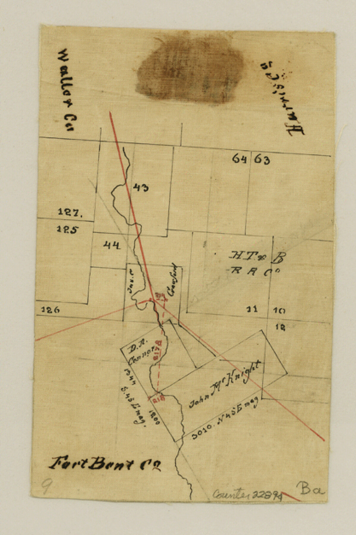
Fort Bend County Sketch File 8
[Sketch of surveys around Crawford in north part of county]
-
Map/Doc
22894
-
Collection
General Map Collection
-
People and Organizations
T.W. Kospe (Surveyor/Engineer)
-
Counties
Fort Bend Harris Waller
-
Subjects
Surveying Sketch File
-
Height x Width
6.3 x 4.2 inches
16.0 x 10.7 cm
-
Medium
paper, manuscript
-
Features
Buffalo Bayou
Part of: General Map Collection
Gaines County Rolled Sketch 13

Print $40.00
- Digital $50.00
Gaines County Rolled Sketch 13
Size 70.1 x 23.1 inches
Map/Doc 9029
Montgomery County Rolled Sketch 42

Print $20.00
- Digital $50.00
Montgomery County Rolled Sketch 42
1939
Size 14.0 x 20.1 inches
Map/Doc 6821
Flight Mission No. DAH-17M, Frame 25, Orange County

Print $20.00
- Digital $50.00
Flight Mission No. DAH-17M, Frame 25, Orange County
1953
Size 18.7 x 22.3 inches
Map/Doc 86888
Flight Mission No. BRA-8M, Frame 129, Jefferson County

Print $20.00
- Digital $50.00
Flight Mission No. BRA-8M, Frame 129, Jefferson County
1953
Size 16.0 x 16.0 inches
Map/Doc 85625
Archer County Sketch File 21

Print $40.00
- Digital $50.00
Archer County Sketch File 21
Size 30.3 x 19.8 inches
Map/Doc 10830
Rains County Working Sketch 9

Print $20.00
- Digital $50.00
Rains County Working Sketch 9
1976
Size 35.8 x 31.9 inches
Map/Doc 71835
[Northeast portion of Grayson County]
![78364, [Northeast portion of Grayson County], General Map Collection](https://historictexasmaps.com/wmedia_w700/maps/78364.tif.jpg)
Print $20.00
- Digital $50.00
[Northeast portion of Grayson County]
Size 12.0 x 14.0 inches
Map/Doc 78364
Gonzales County Working Sketch Graphic Index

Print $40.00
- Digital $50.00
Gonzales County Working Sketch Graphic Index
1986
Size 40.2 x 53.0 inches
Map/Doc 76556
Briscoe County Rolled Sketch 16

Print $20.00
- Digital $50.00
Briscoe County Rolled Sketch 16
1934
Size 17.8 x 19.9 inches
Map/Doc 5330
Pecos County Working Sketch 40

Print $20.00
- Digital $50.00
Pecos County Working Sketch 40
1941
Size 29.9 x 39.7 inches
Map/Doc 71512
Caldwell County Working Sketch 4

Print $20.00
- Digital $50.00
Caldwell County Working Sketch 4
1922
Size 46.1 x 43.5 inches
Map/Doc 67834
Presidio County Sketch File G

Print $6.00
- Digital $50.00
Presidio County Sketch File G
1913
Size 9.7 x 17.0 inches
Map/Doc 34429
You may also like
Map of Escarpment Section through Webb County, Texas (South half of Webb County)

Print $40.00
- Digital $50.00
Map of Escarpment Section through Webb County, Texas (South half of Webb County)
1925
Size 43.3 x 76.2 inches
Map/Doc 93163
Houston County Working Sketch 22

Print $20.00
- Digital $50.00
Houston County Working Sketch 22
1982
Size 31.2 x 44.1 inches
Map/Doc 66252
Flight Mission No. DAG-26K, Frame 56, Matagorda County

Print $20.00
- Digital $50.00
Flight Mission No. DAG-26K, Frame 56, Matagorda County
1953
Size 18.6 x 22.7 inches
Map/Doc 86576
[G. & M. Block 5]
![91802, [G. & M. Block 5], Twichell Survey Records](https://historictexasmaps.com/wmedia_w700/maps/91802-1.tif.jpg)
Print $20.00
- Digital $50.00
[G. & M. Block 5]
Size 20.3 x 12.5 inches
Map/Doc 91802
Township 9 South Range 13 West, South Western District, Louisiana

Print $20.00
- Digital $50.00
Township 9 South Range 13 West, South Western District, Louisiana
1858
Size 19.8 x 24.8 inches
Map/Doc 65852
Motley County Sketch File 17 (S)

Print $6.00
- Digital $50.00
Motley County Sketch File 17 (S)
1901
Size 14.2 x 8.7 inches
Map/Doc 32189
Smith County Sketch File 16

Print $116.00
- Digital $50.00
Smith County Sketch File 16
1966
Size 10.8 x 7.3 inches
Map/Doc 36781
Oldham County, Texas

Print $20.00
- Digital $50.00
Oldham County, Texas
1880
Size 21.2 x 26.8 inches
Map/Doc 745
Young County Working Sketch 7

Print $20.00
- Digital $50.00
Young County Working Sketch 7
1919
Size 24.3 x 19.8 inches
Map/Doc 62030
Lamb County Sketch File 16

Print $4.00
- Digital $50.00
Lamb County Sketch File 16
1929
Size 11.2 x 8.8 inches
Map/Doc 29379
Flight Mission No. DCL-7C, Frame 97, Kenedy County

Print $20.00
- Digital $50.00
Flight Mission No. DCL-7C, Frame 97, Kenedy County
1943
Size 15.3 x 15.2 inches
Map/Doc 86069
Clay County Boundary File 7

Print $14.00
- Digital $50.00
Clay County Boundary File 7
Size 14.3 x 8.8 inches
Map/Doc 51377