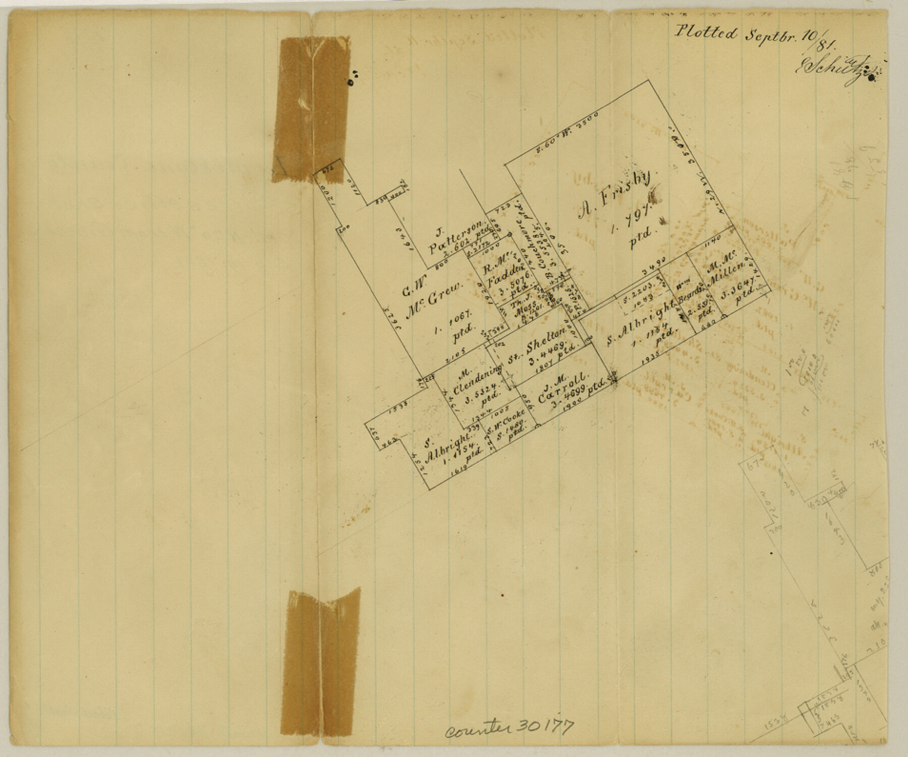
Limestone County Sketch File 11
[Office sketch northwest from Groesbeck]
-
Map/Doc
30177
-
Collection
General Map Collection
-
Object Dates
9/10/1881 (Creation Date)
9/10/1881 (File Date)
9/1881 (Survey Date)
-
People and Organizations
E. Schutze (Draftsman)
-
Counties
Limestone
-
Subjects
Surveying Sketch File
-
Height x Width
7.9 x 9.5 inches
20.1 x 24.1 cm
-
Medium
paper, manuscript
Part of: General Map Collection
Liberty County Sketch File 62

Print $8.00
- Digital $50.00
Liberty County Sketch File 62
1953
Size 14.1 x 8.7 inches
Map/Doc 30083
Hood County Working Sketch 19

Print $20.00
- Digital $50.00
Hood County Working Sketch 19
1988
Size 22.7 x 18.3 inches
Map/Doc 66213
Reagan County Rolled Sketch 21A

Print $20.00
- Digital $50.00
Reagan County Rolled Sketch 21A
1950
Size 34.8 x 43.4 inches
Map/Doc 9816
Atascosa County Working Sketch 17

Print $20.00
- Digital $50.00
Atascosa County Working Sketch 17
1945
Size 25.6 x 29.9 inches
Map/Doc 67213
Howard County Boundary File 2a

Print $9.00
- Digital $50.00
Howard County Boundary File 2a
Size 14.6 x 11.3 inches
Map/Doc 55118
Freestone County Working Sketch 29

Print $20.00
- Digital $50.00
Freestone County Working Sketch 29
1994
Size 36.0 x 45.5 inches
Map/Doc 69271
Culberson County Rolled Sketch 51

Print $20.00
- Digital $50.00
Culberson County Rolled Sketch 51
1966
Size 35.2 x 27.0 inches
Map/Doc 5670
Hall County Sketch File 28

Print $20.00
- Digital $50.00
Hall County Sketch File 28
1913
Size 18.0 x 21.5 inches
Map/Doc 11611
Robertson County Rolled Sketch 1A

Print $20.00
- Digital $50.00
Robertson County Rolled Sketch 1A
1966
Size 45.3 x 28.1 inches
Map/Doc 9863
Navarro County Sketch File 1

Print $4.00
- Digital $50.00
Navarro County Sketch File 1
Size 9.9 x 8.0 inches
Map/Doc 32296
Mason County Rolled Sketch 6

Print $20.00
- Digital $50.00
Mason County Rolled Sketch 6
Size 19.5 x 22.2 inches
Map/Doc 6678
Brewster County Rolled Sketch 114

Print $20.00
- Digital $50.00
Brewster County Rolled Sketch 114
1964
Size 11.8 x 18.5 inches
Map/Doc 5264
You may also like
Crockett County Working Sketch 70

Print $40.00
- Digital $50.00
Crockett County Working Sketch 70
1963
Size 23.7 x 49.5 inches
Map/Doc 68403
Hardin County Sketch File 26

Print $7.00
- Digital $50.00
Hardin County Sketch File 26
Size 10.3 x 8.0 inches
Map/Doc 25148
Galveston County Sketch File 11a

Print $4.00
- Digital $50.00
Galveston County Sketch File 11a
1877
Size 7.8 x 8.4 inches
Map/Doc 23376
Duval County Rolled Sketch Pressly No. 2

Print $20.00
- Digital $50.00
Duval County Rolled Sketch Pressly No. 2
1935
Size 22.6 x 33.7 inches
Map/Doc 5770
Bell County Working Sketch 6

Print $20.00
- Digital $50.00
Bell County Working Sketch 6
1946
Size 24.9 x 33.6 inches
Map/Doc 67346
Loving County Boundary File 2

Print $40.00
- Digital $50.00
Loving County Boundary File 2
Map/Doc 90033
Travis County Rolled Sketch 25

Print $20.00
- Digital $50.00
Travis County Rolled Sketch 25
1942
Size 22.1 x 29.2 inches
Map/Doc 8026
The Chief Justice County of Milam. April 16, 1837

Print $20.00
The Chief Justice County of Milam. April 16, 1837
2020
Size 16.8 x 21.7 inches
Map/Doc 96059
Blucher's Directory Map of Corpus Christi and Road Map of Nueces County

Print $20.00
- Digital $50.00
Blucher's Directory Map of Corpus Christi and Road Map of Nueces County
1945
Size 22.7 x 34.4 inches
Map/Doc 94105
Lamar County Working Sketch 6

Print $20.00
- Digital $50.00
Lamar County Working Sketch 6
1964
Size 37.7 x 26.1 inches
Map/Doc 70267
King County Working Sketch 12

Print $20.00
- Digital $50.00
King County Working Sketch 12
1975
Size 42.6 x 28.4 inches
Map/Doc 70176
Texas and Northern Mexico

Print $20.00
- Digital $50.00
Texas and Northern Mexico
1900
Size 21.6 x 28.6 inches
Map/Doc 95895