[Map] of Goliad Land District
-
Map/Doc
3586
-
Collection
General Map Collection
-
Object Dates
1/1/1856 (Creation Date)
3/13/1856 (File Date)
-
People and Organizations
Joseph H. Barnard (Compiler)
-
Counties
Goliad
-
Subjects
County
-
Height x Width
33.5 x 25.2 inches
85.1 x 64.0 cm
-
Features
Perdido Creek
Goliad Road
Road to Refugio
[Road] to Mier
La Bahia
Puento de la Piedra Creek
Goliad to Helena Road
Helena to Yorktown Road
Goliad to Yorktown Road
Helena Road
Little Perdido Creek
Road to Cibolo
Coleto Creek
18 Mile Creek
West Coleto Creek
Anastasia Road
Hog Creek
Hords Creek
Dry Coleto Creek
Rough Creek
Menatarida Creek
Mocorera Creek
Parsia Creek
Muleta Creek
Talpacate Creek
La Presta Creek
Escondido Creek
Miller's Creek
Cadena Creek
Goat Creek
Muigerria Creek
Kilgore Creek
Mendoza Creek
North Branch of Coleto Creek
Cleto Creek
South Branch of Coleto Creek
San Antonio River
Clear Fork of Sanders Creek
Elm Branch
Dry Cibolo Creek
Tonkawa Creek
Mustang Creek
Helena
Karnes City
Olmos Creek
South Branch of Cibolo Creek
Cibolo Creek
San Antonio Road to Goliad
Cleto [sic] Creek
Yorktown Road
San Antonio Road
San Antonio and Yorktown Road
Alanzo Creek
Goliad
Manahuilla Creek
Richland Creek
Blanco River
Hoosier Creek
Road to San Diego
[Road] to Victoria
Yorktown
Panther Creek
Johnson's Creek
Mission Rosario
Live Oak Creek
Hernandes Creek
Hondo Creek
Medio Creek
Purillo de la Piedra Creek
Salt Creek
Manzo Creek
Part of: General Map Collection
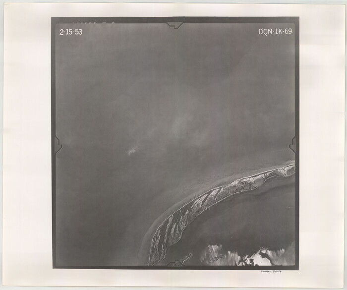
Flight Mission No. DQN-1K, Frame 69, Calhoun County

Print $20.00
- Digital $50.00
Flight Mission No. DQN-1K, Frame 69, Calhoun County
1953
Size 18.5 x 22.2 inches
Map/Doc 84156
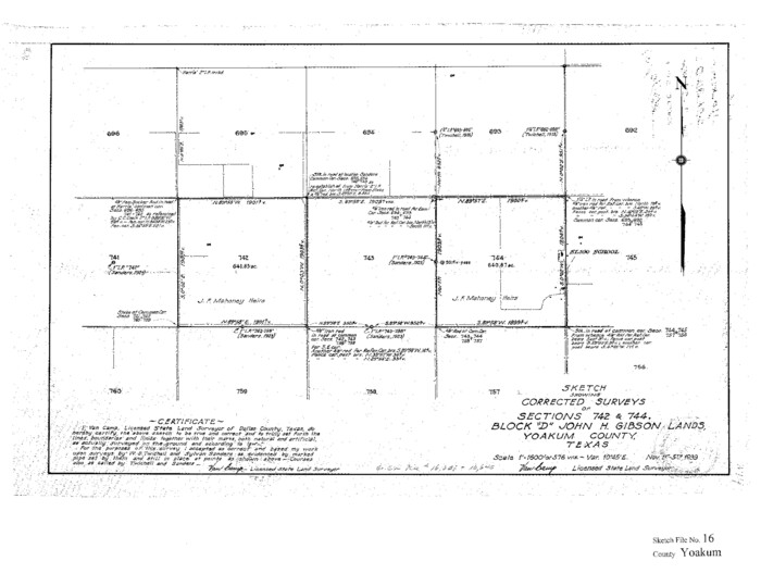
Yoakum County Sketch File 16

Print $20.00
- Digital $50.00
Yoakum County Sketch File 16
1939
Size 15.0 x 19.4 inches
Map/Doc 12709
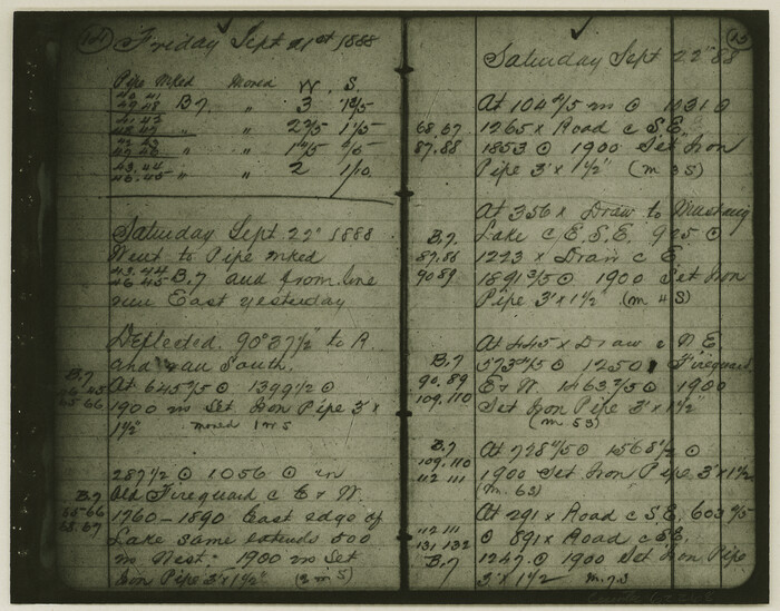
Copy of Surveyor's Field Book, Morris Browning - In Blocks 7, 5 & 4, I&GNRRCo., Hutchinson and Carson Counties, Texas

Print $2.00
- Digital $50.00
Copy of Surveyor's Field Book, Morris Browning - In Blocks 7, 5 & 4, I&GNRRCo., Hutchinson and Carson Counties, Texas
1888
Size 7.0 x 8.9 inches
Map/Doc 62268
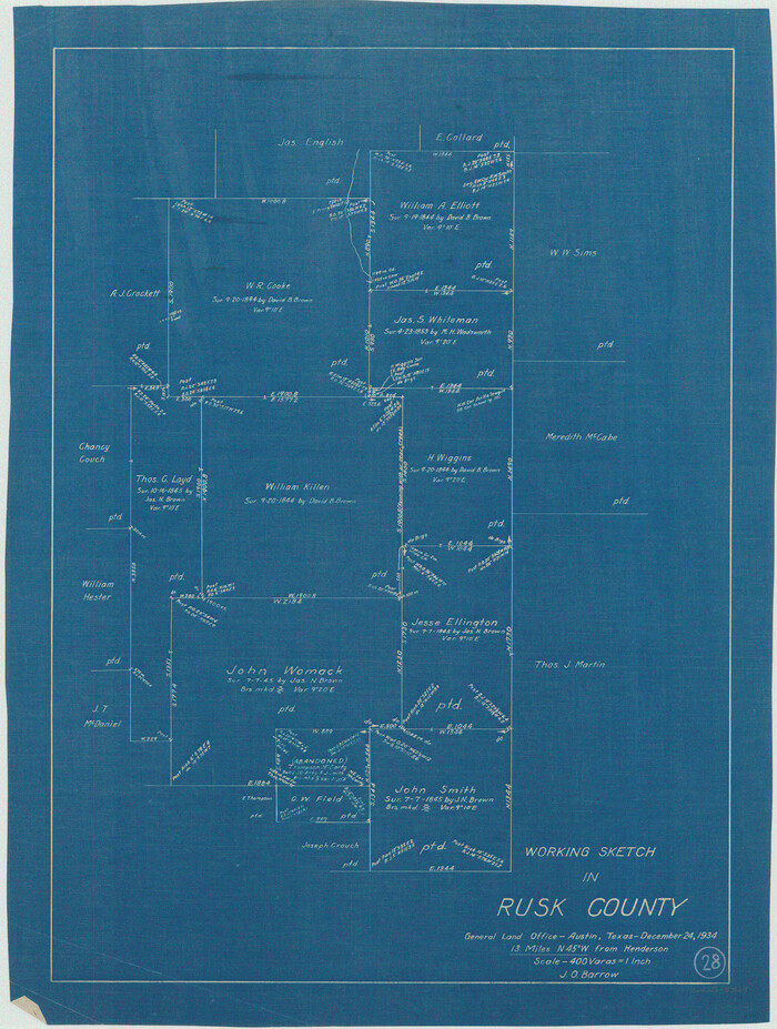
Rusk County Working Sketch 28

Print $20.00
- Digital $50.00
Rusk County Working Sketch 28
1934
Size 24.2 x 18.3 inches
Map/Doc 63664
King County Boundary File 2

Print $54.00
- Digital $50.00
King County Boundary File 2
Size 8.8 x 7.7 inches
Map/Doc 64887
Pecos County Rolled Sketch 25B


Print $20.00
- Digital $50.00
Pecos County Rolled Sketch 25B
1892
Size 22.2 x 16.0 inches
Map/Doc 7210
Plats of the Resurvey of Clark's Texas-New Mexico Boundary by the U. S. Boundary Commission, 1911


Print $180.00
Plats of the Resurvey of Clark's Texas-New Mexico Boundary by the U. S. Boundary Commission, 1911
1911
Map/Doc 81690
Goliad County Working Sketch 21


Print $20.00
- Digital $50.00
Goliad County Working Sketch 21
1961
Size 42.9 x 39.6 inches
Map/Doc 63211
[Beaumont, Sour Lake and Western Ry. Right of Way and Alignment - Frisco]
![64117, [Beaumont, Sour Lake and Western Ry. Right of Way and Alignment - Frisco], General Map Collection](https://historictexasmaps.com/wmedia_w700/maps/64117.tif.jpg)
![64117, [Beaumont, Sour Lake and Western Ry. Right of Way and Alignment - Frisco], General Map Collection](https://historictexasmaps.com/wmedia_w700/maps/64117.tif.jpg)
Print $20.00
- Digital $50.00
[Beaumont, Sour Lake and Western Ry. Right of Way and Alignment - Frisco]
1910
Size 20.2 x 45.9 inches
Map/Doc 64117
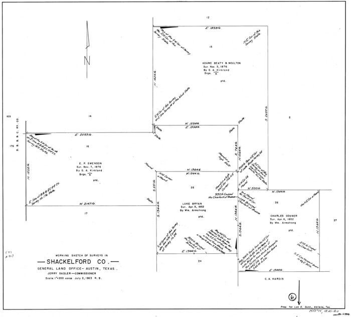
Shackelford County Working Sketch 6

Print $20.00
- Digital $50.00
Shackelford County Working Sketch 6
1963
Size 26.1 x 28.9 inches
Map/Doc 63846
Foard County Working Sketch 14


Print $20.00
- Digital $50.00
Foard County Working Sketch 14
1982
Size 37.6 x 46.9 inches
Map/Doc 69205
Hunt County Rolled Sketch 3A


Print $40.00
- Digital $50.00
Hunt County Rolled Sketch 3A
1959
Size 23.9 x 52.8 inches
Map/Doc 9241
You may also like
Newton County

Print $40.00
- Digital $50.00
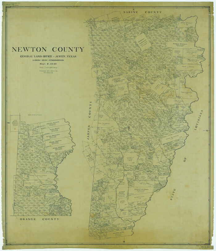
Newton County
1946
Size 48.7 x 41.9 inches
Map/Doc 66953
Robertson County Working Sketch 16

Print $20.00
- Digital $50.00
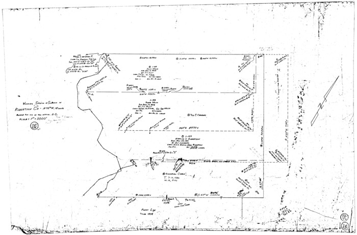
Robertson County Working Sketch 16
Size 21.7 x 33.0 inches
Map/Doc 63589
Brewster County Rolled Sketch 101


Print $40.00
- Digital $50.00
Brewster County Rolled Sketch 101
1927
Size 74.2 x 42.3 inches
Map/Doc 9192
Denton County Rolled Sketch 2
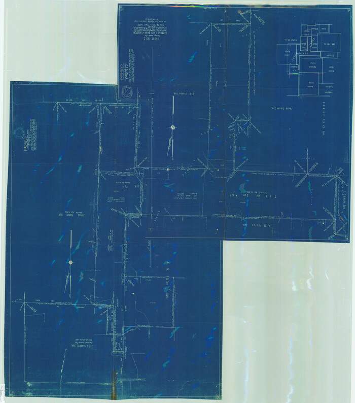

Print $40.00
- Digital $50.00
Denton County Rolled Sketch 2
1933
Size 47.1 x 53.5 inches
Map/Doc 8338
Maverick County Rolled Sketch 14A
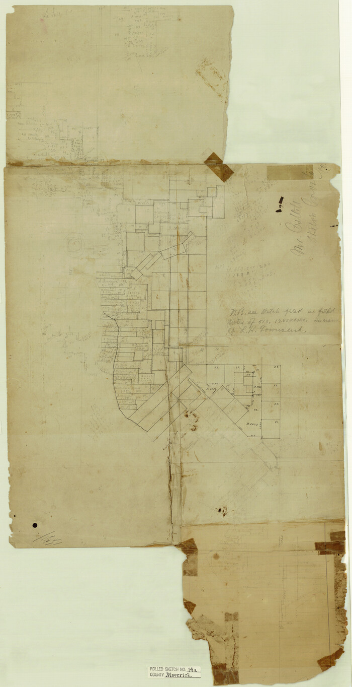

Print $20.00
- Digital $50.00
Maverick County Rolled Sketch 14A
Size 35.4 x 18.2 inches
Map/Doc 6708
Polk County Working Sketch 34
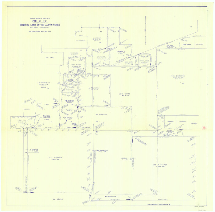

Print $20.00
- Digital $50.00
Polk County Working Sketch 34
1961
Size 41.3 x 42.0 inches
Map/Doc 71651
El Paso County Rolled Sketch W


Print $20.00
- Digital $50.00
El Paso County Rolled Sketch W
1916
Size 22.8 x 40.1 inches
Map/Doc 5859
Galveston County Sketch File 5a


Print $4.00
- Digital $50.00
Galveston County Sketch File 5a
1847
Size 12.6 x 8.2 inches
Map/Doc 23360
Montague County Working Sketch 29


Print $20.00
- Digital $50.00
Montague County Working Sketch 29
1972
Size 27.8 x 22.1 inches
Map/Doc 71095
Fisher County
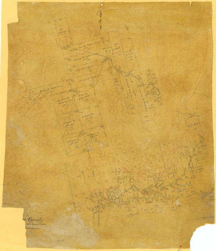

Print $20.00
- Digital $50.00
Fisher County
1880
Size 29.4 x 25.3 inches
Map/Doc 75772
Liberty County Rolled Sketch O


Print $40.00
- Digital $50.00
Liberty County Rolled Sketch O
1954
Size 52.3 x 42.8 inches
Map/Doc 10720
Blanco River, Austin Girl Scouts Council


Print $6.00
- Digital $50.00
Blanco River, Austin Girl Scouts Council
1938
Size 18.5 x 31.6 inches
Map/Doc 65058
![3586, [Map] of Goliad Land District, General Map Collection](https://historictexasmaps.com/wmedia_w1800h1800/maps/3586-1.tif.jpg)