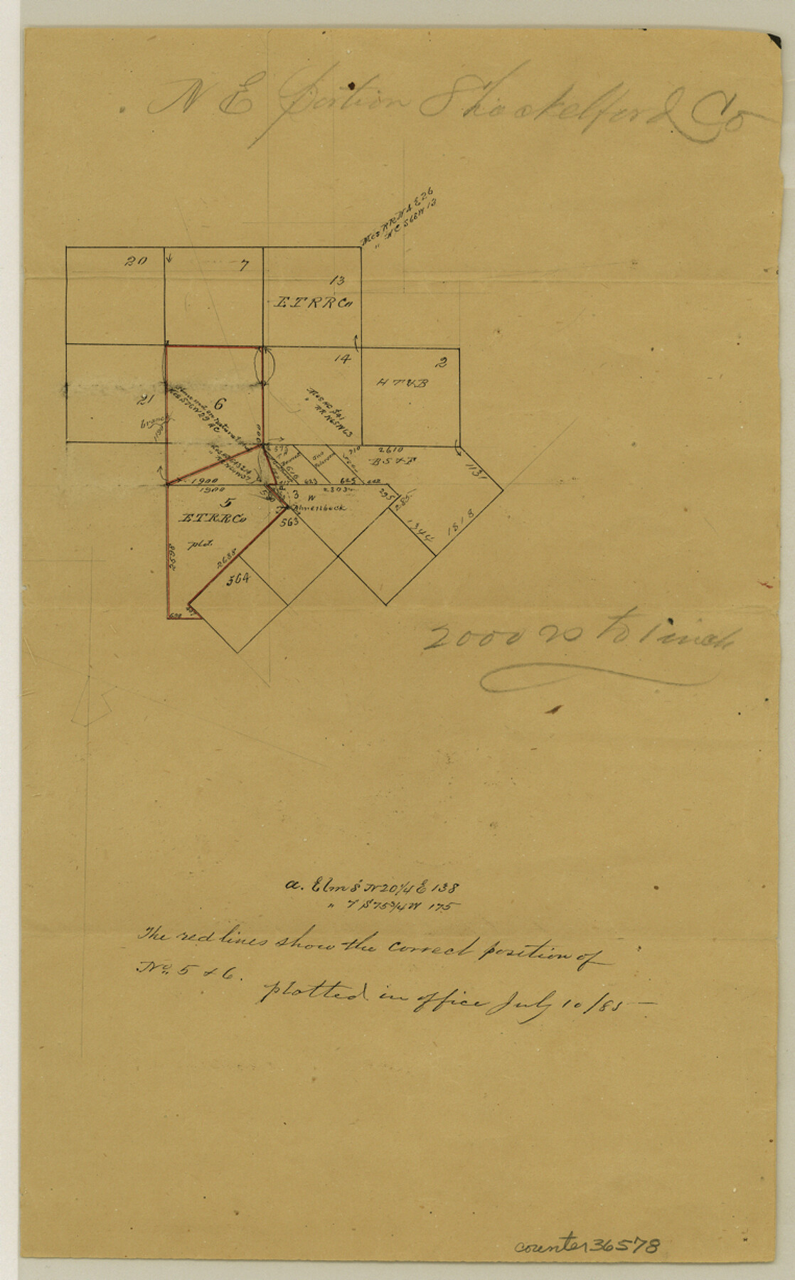
Shackelford County Sketch File 5
[Office sketch in northeast portion of county in the vicinity of E. T. R.R. Co. surveys 5 and 6]
-
Map/Doc
36578
-
Collection
General Map Collection
-
Object Dates
7/10/1885 (Creation Date)
-
Counties
Shackelford
-
Subjects
Surveying Sketch File
-
Height x Width
12.3 x 7.6 inches
31.2 x 19.3 cm
-
Medium
paper, manuscript
-
Scale
1" = 2000 varas
Part of: General Map Collection
Flight Mission No. BRE-1P, Frame 26, Nueces County

Print $20.00
- Digital $50.00
Flight Mission No. BRE-1P, Frame 26, Nueces County
1956
Size 18.6 x 22.5 inches
Map/Doc 86621
Frio County Sketch File 4a

Print $6.00
- Digital $50.00
Frio County Sketch File 4a
1883
Size 8.3 x 6.7 inches
Map/Doc 23113
Boundary Between the United States & Mexico Agreed upon by the Joint Commission under the Treaty of Guadalupe Hidalgo

Print $4.00
- Digital $50.00
Boundary Between the United States & Mexico Agreed upon by the Joint Commission under the Treaty of Guadalupe Hidalgo
1853
Size 18.3 x 26.8 inches
Map/Doc 72881
Cochran County Rolled Sketch RM

Print $40.00
- Digital $50.00
Cochran County Rolled Sketch RM
1938
Size 29.4 x 107.6 inches
Map/Doc 8605
Newton County Working Sketch 1

Print $20.00
- Digital $50.00
Newton County Working Sketch 1
Size 25.5 x 25.9 inches
Map/Doc 71247
Falls County Rolled Sketch 1

Print $73.00
- Digital $50.00
Falls County Rolled Sketch 1
1934
Size 10.6 x 15.1 inches
Map/Doc 44540
Medina County Working Sketch 29

Print $20.00
- Digital $50.00
Medina County Working Sketch 29
Size 40.1 x 25.0 inches
Map/Doc 70944
Brazoria County Rolled Sketch 47

Print $20.00
- Digital $50.00
Brazoria County Rolled Sketch 47
1951
Size 17.4 x 22.6 inches
Map/Doc 5180
Flight Mission No. DQN-2K, Frame 98, Calhoun County

Print $20.00
- Digital $50.00
Flight Mission No. DQN-2K, Frame 98, Calhoun County
1953
Size 18.7 x 22.4 inches
Map/Doc 84288
Calhoun County Working Sketch 11

Print $20.00
- Digital $50.00
Calhoun County Working Sketch 11
1952
Size 43.1 x 34.9 inches
Map/Doc 67827
Loving County State of Texas

Print $20.00
- Digital $50.00
Loving County State of Texas
1889
Size 20.5 x 24.5 inches
Map/Doc 4581
Lee County Working Sketch 20

Print $20.00
- Digital $50.00
Lee County Working Sketch 20
1992
Size 25.3 x 35.4 inches
Map/Doc 70399
You may also like
Harris County Working Sketch 81

Print $20.00
- Digital $50.00
Harris County Working Sketch 81
1969
Size 23.6 x 30.0 inches
Map/Doc 65973
Zavala County Sketch File 42

Print $20.00
- Digital $50.00
Zavala County Sketch File 42
1915
Size 19.4 x 25.6 inches
Map/Doc 12732
[E. L. & R. R. RR. Company, Block LC2]
![90663, [E. L. & R. R. RR. Company, Block LC2], Twichell Survey Records](https://historictexasmaps.com/wmedia_w700/maps/90663-1.tif.jpg)
Print $2.00
- Digital $50.00
[E. L. & R. R. RR. Company, Block LC2]
1907
Size 9.7 x 7.9 inches
Map/Doc 90663
Copy of Surveyor's Field Book, Morris Browning - In Blocks 7, 5 & 4, I&GNRRCo., Hutchinson and Carson Counties, Texas

Print $2.00
- Digital $50.00
Copy of Surveyor's Field Book, Morris Browning - In Blocks 7, 5 & 4, I&GNRRCo., Hutchinson and Carson Counties, Texas
1888
Size 6.9 x 8.9 inches
Map/Doc 62285

Pecos County Working Sketch Graphic Index - northeast part - sheet A

Print $20.00
- Digital $50.00
Pecos County Working Sketch Graphic Index - northeast part - sheet A
1975
Size 35.8 x 42.6 inches
Map/Doc 76666
Fayette County Boundary File 8

Print $19.00
- Digital $50.00
Fayette County Boundary File 8
Size 14.4 x 9.0 inches
Map/Doc 53402
Shelby County Working Sketch 13

Print $40.00
- Digital $50.00
Shelby County Working Sketch 13
1946
Size 52.0 x 33.7 inches
Map/Doc 63866
Bowie County Working Sketch 8

Print $20.00
- Digital $50.00
Bowie County Working Sketch 8
1953
Size 25.9 x 24.0 inches
Map/Doc 67412
Haskell County Sketch File 4

Print $20.00
- Digital $50.00
Haskell County Sketch File 4
Size 17.7 x 18.6 inches
Map/Doc 11739
Railroad and County Map of Texas

Print $20.00
Railroad and County Map of Texas
1901
Size 33.1 x 37.1 inches
Map/Doc 76213
Jeff Davis County Working Sketch 41

Print $20.00
- Digital $50.00
Jeff Davis County Working Sketch 41
1981
Size 26.4 x 34.9 inches
Map/Doc 66536