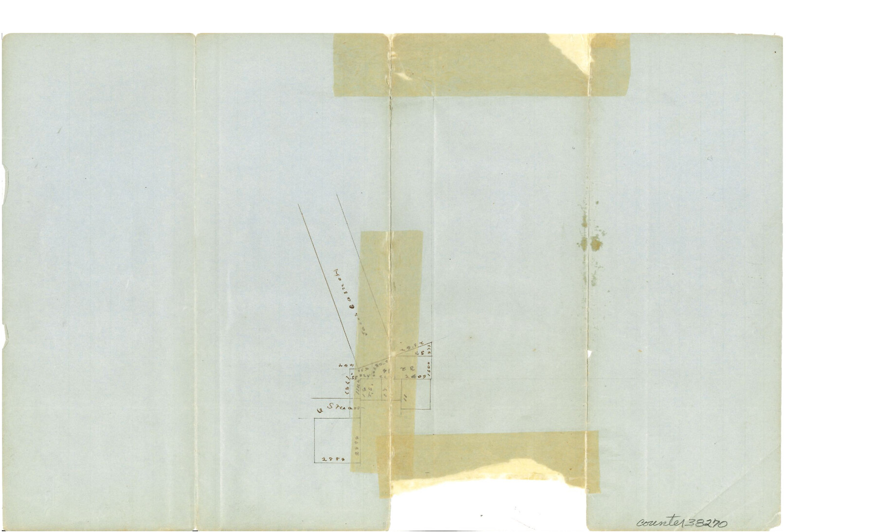
Travis County Sketch File 1
[Sketch of surveys near the head of Wilbarger's Creek northeast from Austin and near the Williamson County boundary line]
-
Map/Doc
38270
-
Collection
General Map Collection
-
Object Dates
6/18/1849 (File Date)
-
Counties
Travis
-
Subjects
Surveying Sketch File
-
Height x Width
16.1 x 12.7 inches
40.9 x 32.3 cm
-
Medium
paper, manuscript
-
Features
[Wilbarger Creek]
Part of: General Map Collection
Pecos County Working Sketch 135

Print $20.00
- Digital $50.00
Pecos County Working Sketch 135
1979
Size 46.4 x 37.3 inches
Map/Doc 71609
Old Miscellaneous File 2

Print $16.00
- Digital $50.00
Old Miscellaneous File 2
1838
Size 13.0 x 8.0 inches
Map/Doc 75406
[Surveys in the Travis District along the Colorado and Pedernales Rivers]
![113, [Surveys in the Travis District along the Colorado and Pedernales Rivers], General Map Collection](https://historictexasmaps.com/wmedia_w700/maps/113.tif.jpg)
Print $2.00
- Digital $50.00
[Surveys in the Travis District along the Colorado and Pedernales Rivers]
1841
Size 9.9 x 8.2 inches
Map/Doc 113
Montgomery Co.

Print $40.00
- Digital $50.00
Montgomery Co.
1943
Size 45.1 x 53.3 inches
Map/Doc 66940
Liberty County Sketch File 10

Print $4.00
- Digital $50.00
Liberty County Sketch File 10
1858
Size 9.5 x 8.9 inches
Map/Doc 29903
Webb County Sketch File 20

Print $4.00
- Digital $50.00
Webb County Sketch File 20
Size 8.8 x 14.4 inches
Map/Doc 39827
Copy of Surveyor's Field Book, Morris Browning - In Blocks 7, 5 & 4, I&GNRRCo., Hutchinson and Carson Counties, Texas

Print $2.00
- Digital $50.00
Copy of Surveyor's Field Book, Morris Browning - In Blocks 7, 5 & 4, I&GNRRCo., Hutchinson and Carson Counties, Texas
1888
Size 7.0 x 8.8 inches
Map/Doc 62270
Jim Hogg County Working Sketch 3

Print $20.00
- Digital $50.00
Jim Hogg County Working Sketch 3
1939
Size 15.2 x 20.3 inches
Map/Doc 66589
[The S.K. Ry. of Texas, State Line to Pecos, Reeves Co., Texas]
![64161, [The S.K. Ry. of Texas, State Line to Pecos, Reeves Co., Texas], General Map Collection](https://historictexasmaps.com/wmedia_w700/maps/64161.tif.jpg)
Print $40.00
- Digital $50.00
[The S.K. Ry. of Texas, State Line to Pecos, Reeves Co., Texas]
1910
Size 19.2 x 120.9 inches
Map/Doc 64161
Flight Mission No. DIX-6P, Frame 193, Aransas County

Print $20.00
- Digital $50.00
Flight Mission No. DIX-6P, Frame 193, Aransas County
1956
Size 19.0 x 22.6 inches
Map/Doc 83855
Orange County NRC Article 33.136 Sketch 1

Print $20.00
- Digital $50.00
Orange County NRC Article 33.136 Sketch 1
2004
Size 23.8 x 34.5 inches
Map/Doc 81979
Pecos County Rolled Sketch DK4

Print $20.00
- Digital $50.00
Pecos County Rolled Sketch DK4
Size 41.2 x 30.2 inches
Map/Doc 7309
You may also like
Chambers County Working Sketch 2

Print $20.00
- Digital $50.00
Chambers County Working Sketch 2
1904
Size 34.6 x 25.3 inches
Map/Doc 67985
Anderson County Working Sketch 31

Print $20.00
- Digital $50.00
Anderson County Working Sketch 31
1966
Size 18.3 x 23.2 inches
Map/Doc 67031
Sketch in Bailey County

Print $20.00
- Digital $50.00
Sketch in Bailey County
Size 15.6 x 33.5 inches
Map/Doc 92476
Johnson's New Map of the State of Texas

Print $20.00
- Digital $50.00
Johnson's New Map of the State of Texas
1859
Size 18.6 x 26.8 inches
Map/Doc 89254
Reagan County Rolled Sketch 28

Print $40.00
- Digital $50.00
Reagan County Rolled Sketch 28
1952
Size 64.1 x 46.5 inches
Map/Doc 9823
Mills County Working Sketch 9

Print $20.00
- Digital $50.00
Mills County Working Sketch 9
1915
Size 13.3 x 13.7 inches
Map/Doc 71039
Duval County Rolled Sketch 35

Print $20.00
- Digital $50.00
Duval County Rolled Sketch 35
1951
Size 23.5 x 17.0 inches
Map/Doc 5750
Brewster County Rolled Sketch B

Print $40.00
- Digital $50.00
Brewster County Rolled Sketch B
1882
Size 67.4 x 37.7 inches
Map/Doc 8465

Chambers County Working Sketch 29

Print $20.00
- Digital $50.00
Chambers County Working Sketch 29
2009
Size 25.2 x 18.6 inches
Map/Doc 89232
Leon County Sketch File 9a

Print $6.00
- Digital $50.00
Leon County Sketch File 9a
1863
Size 10.5 x 8.6 inches
Map/Doc 29728
Stephens County Rolled Sketch 3

Print $20.00
- Digital $50.00
Stephens County Rolled Sketch 3
1919
Size 34.9 x 19.6 inches
Map/Doc 7840