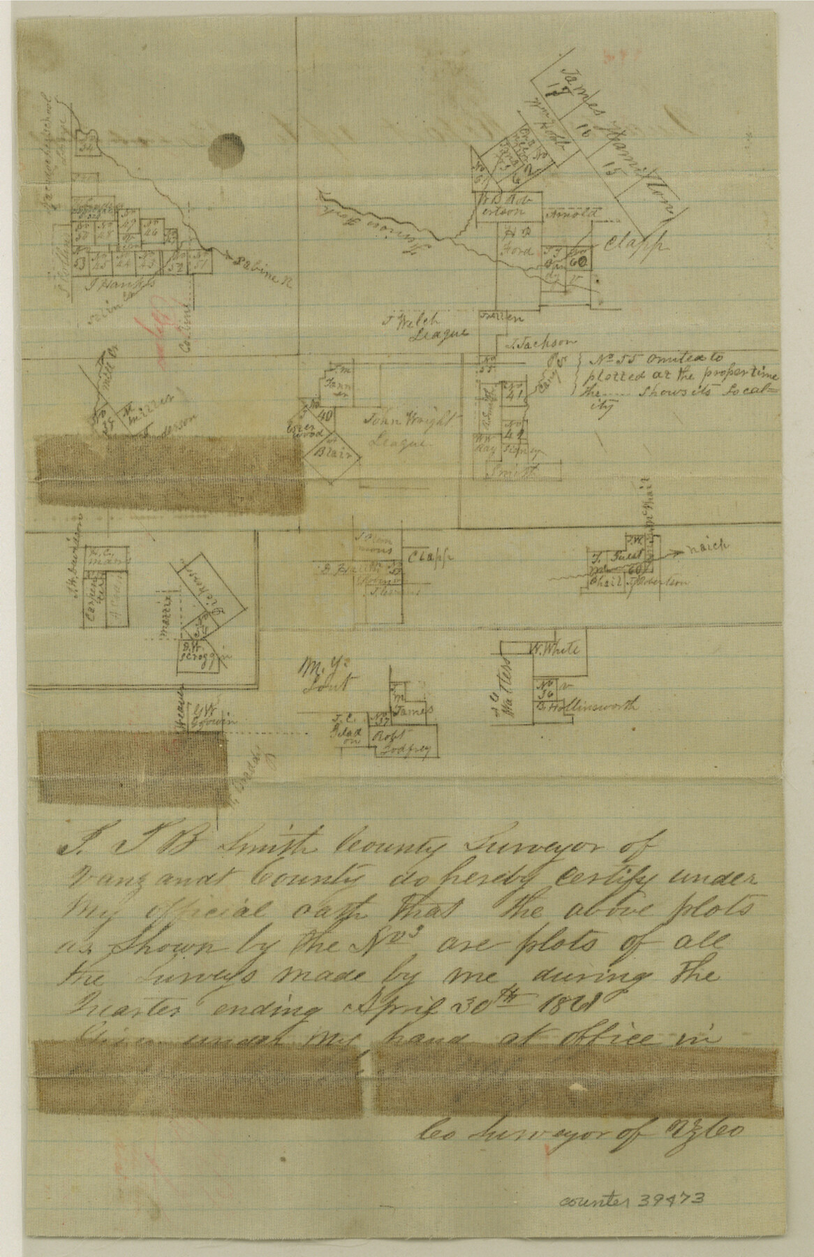
Van Zandt County Sketch File 34
[Sketches of surveys made during the Quarter ending April 30, 1861]
-
Map/Doc
39472
-
Collection
General Map Collection
-
Object Dates
5/3/1861 (Creation Date)
-
People and Organizations
T.B. Smith (Surveyor/Engineer)
-
Counties
Van Zandt
-
Subjects
Surveying Sketch File
-
Height x Width
7.8 x 15.0 inches
19.8 x 38.1 cm
-
Medium
paper, manuscript
-
Features
Mill Creek
Sabine River
Caney Creek
Ferris Fork [Creek]
Part of: General Map Collection
Refugio County Aerial Photograph Index Sheet 1

Print $20.00
- Digital $50.00
Refugio County Aerial Photograph Index Sheet 1
1957
Size 23.1 x 18.8 inches
Map/Doc 83742
Pecos County Rolled Sketch 153

Print $20.00
- Digital $50.00
Pecos County Rolled Sketch 153
1960
Size 20.2 x 22.7 inches
Map/Doc 7282

Irion County Boundary File 3a

Print $2.00
- Digital $50.00
Irion County Boundary File 3a
Size 12.9 x 8.3 inches
Map/Doc 55349
Ector County Sketch File 10

Print $8.00
- Digital $50.00
Ector County Sketch File 10
1930
Size 11.6 x 9.0 inches
Map/Doc 21639
Rio Grande, Brownsville Sheet No. 2

Print $4.00
- Digital $50.00
Rio Grande, Brownsville Sheet No. 2
1924
Size 21.2 x 28.3 inches
Map/Doc 65131
Rusk County Working Sketch 38

Print $20.00
- Digital $50.00
Rusk County Working Sketch 38
2008
Size 16.3 x 23.3 inches
Map/Doc 88815
La Salle County Rolled Sketch 29

Print $20.00
- Digital $50.00
La Salle County Rolled Sketch 29
1984
Size 17.9 x 17.3 inches
Map/Doc 6589
[San Antonio & Aransas Pass Railway Co.]
![64262, [San Antonio & Aransas Pass Railway Co.], General Map Collection](https://historictexasmaps.com/wmedia_w700/maps/64262-1.tif.jpg)
Print $40.00
- Digital $50.00
[San Antonio & Aransas Pass Railway Co.]
Size 15.7 x 86.4 inches
Map/Doc 64262
Live Oak County Boundary File 60

Print $12.00
- Digital $50.00
Live Oak County Boundary File 60
Size 8.8 x 7.6 inches
Map/Doc 56401

Montgomery County Rolled Sketch 9

Print $20.00
- Digital $50.00
Montgomery County Rolled Sketch 9
1899
Size 19.5 x 20.1 inches
Map/Doc 6795
You may also like
Travis County Sketch File 60

Print $20.00
- Digital $50.00
Travis County Sketch File 60
1945
Size 23.0 x 15.9 inches
Map/Doc 12472
Flight Mission No. BRA-16M, Frame 62, Jefferson County

Print $20.00
- Digital $50.00
Flight Mission No. BRA-16M, Frame 62, Jefferson County
1953
Size 18.7 x 22.4 inches
Map/Doc 85679
[Capitol Leagues 217- 235, 238, and 239]
![90706, [Capitol Leagues 217- 235, 238, and 239], Twichell Survey Records](https://historictexasmaps.com/wmedia_w700/maps/90706-1.tif.jpg)
Print $20.00
- Digital $50.00
[Capitol Leagues 217- 235, 238, and 239]
Size 26.3 x 26.9 inches
Map/Doc 90706
Freestone County Working Sketch 17

Print $20.00
- Digital $50.00
Freestone County Working Sketch 17
1980
Size 44.8 x 31.0 inches
Map/Doc 69259
Progressive Military Map of the United States, Southern Department, Sheet 403N, Comstock

Print $20.00
- Digital $50.00
Progressive Military Map of the United States, Southern Department, Sheet 403N, Comstock
1916
Size 35.0 x 23.9 inches
Map/Doc 92062
Zavala County Sketch File 44

Print $25.00
- Digital $50.00
Zavala County Sketch File 44
1915
Size 10.1 x 14.3 inches
Map/Doc 41416
Presidio County Rolled Sketch 50

Print $20.00
- Digital $50.00
Presidio County Rolled Sketch 50
Size 21.2 x 18.4 inches
Map/Doc 7344
Lloyd's Map of the Southern States showing all the Railroads, their Stations & Distances, also the Counties, Towns, Villages, Harbors, Rivers, and Forts

Print $40.00
- Digital $50.00
Lloyd's Map of the Southern States showing all the Railroads, their Stations & Distances, also the Counties, Towns, Villages, Harbors, Rivers, and Forts
1861
Size 39.3 x 54.4 inches
Map/Doc 96556
Ochiltree County Sketch File 3

Print $40.00
- Digital $50.00
Ochiltree County Sketch File 3
1908
Size 15.4 x 12.9 inches
Map/Doc 33177
Right of Way and Track Map, International & Gt. Northern Ry. operated by the International & Gt. Northern Ry. Co. Gulf Division, Mineola Branch

Print $40.00
- Digital $50.00
Right of Way and Track Map, International & Gt. Northern Ry. operated by the International & Gt. Northern Ry. Co. Gulf Division, Mineola Branch
1917
Size 24.9 x 60.2 inches
Map/Doc 64705
Glasscock County Sketch File 20

Print $40.00
- Digital $50.00
Glasscock County Sketch File 20
1935
Size 15.6 x 12.6 inches
Map/Doc 24196
[Sketch of the Robertson League on the Brazos River showing a conflict with T.J. Chambers]
![3178, [Sketch of the Robertson League on the Brazos River showing a conflict with T.J. Chambers], General Map Collection](https://historictexasmaps.com/wmedia_w700/maps/3178.tif.jpg)
Print $2.00
- Digital $50.00
[Sketch of the Robertson League on the Brazos River showing a conflict with T.J. Chambers]
1841
Size 7.6 x 12.6 inches
Map/Doc 3178