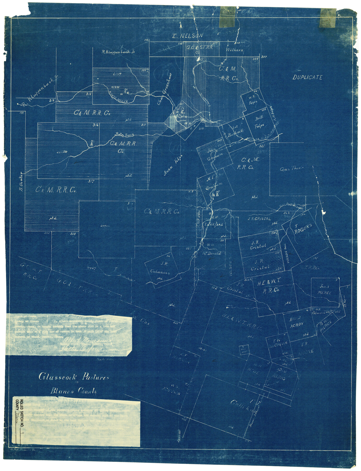
Blanco County Rolled Sketch 7
Glasscock Pastures in Blanco County
-
Map/Doc
5144
-
Collection
General Map Collection
-
Object Dates
11/5/1921 (File Date)
-
Counties
Blanco
-
Subjects
Surveying Rolled Sketch
-
Height x Width
31.0 x 23.8 inches
78.7 x 60.5 cm
-
Medium
blueprint/diazo
Part of: General Map Collection
Blanco County Working Sketch 30

Print $20.00
- Digital $50.00
Blanco County Working Sketch 30
1971
Size 22.9 x 34.6 inches
Map/Doc 67390
Burnet County Sketch File 46

Print $4.00
- Digital $50.00
Burnet County Sketch File 46
1873
Size 12.8 x 8.5 inches
Map/Doc 16773
Pecos County Sketch File 40

Print $30.00
- Digital $50.00
Pecos County Sketch File 40
1919
Size 14.6 x 9.2 inches
Map/Doc 33722
Presidio County Rolled Sketch 37

Print $20.00
- Digital $50.00
Presidio County Rolled Sketch 37
Size 15.6 x 22.6 inches
Map/Doc 7335
Stonewall County Rolled Sketch 36A

Print $20.00
- Digital $50.00
Stonewall County Rolled Sketch 36A
Size 17.6 x 22.4 inches
Map/Doc 76403
Right of Way & Track Map San Antonio & Aransas Pass Railway Co.

Print $40.00
- Digital $50.00
Right of Way & Track Map San Antonio & Aransas Pass Railway Co.
1919
Size 25.3 x 56.5 inches
Map/Doc 64024
Moore County Rolled Sketch 13

Print $20.00
- Digital $50.00
Moore County Rolled Sketch 13
1920
Size 25.8 x 33.3 inches
Map/Doc 6829
Roberts County Boundary File 2b

Print $38.00
- Digital $50.00
Roberts County Boundary File 2b
Size 9.0 x 7.0 inches
Map/Doc 58344
Crockett County Working Sketch 86

Print $20.00
- Digital $50.00
Crockett County Working Sketch 86
1976
Size 34.7 x 38.0 inches
Map/Doc 68419
Edwards County Working Sketch 2

Print $20.00
- Digital $50.00
Edwards County Working Sketch 2
Size 13.6 x 19.0 inches
Map/Doc 68878

Galveston County NRC Article 33.136 Sketch 33

Print $20.00
- Digital $50.00
Galveston County NRC Article 33.136 Sketch 33
2003
Size 42.5 x 30.9 inches
Map/Doc 83285
You may also like
Crockett County Rolled Sketch 75

Print $20.00
- Digital $50.00
Crockett County Rolled Sketch 75
1949
Size 17.6 x 21.1 inches
Map/Doc 5616
Oldham County Rolled Sketch Z

Print $20.00
- Digital $50.00
Oldham County Rolled Sketch Z
Size 26.1 x 28.7 inches
Map/Doc 7178
Comanche County Sketch File 12

Print $4.00
- Digital $50.00
Comanche County Sketch File 12
1859
Size 8.5 x 15.2 inches
Map/Doc 19074
Chambers County Rolled Sketch 11

Print $20.00
- Digital $50.00
Chambers County Rolled Sketch 11
Size 20.0 x 26.5 inches
Map/Doc 5424
Fractional Township No. 6 South Range No. 7 West of the Indian Meridian, Indian Territory

Print $20.00
- Digital $50.00
Fractional Township No. 6 South Range No. 7 West of the Indian Meridian, Indian Territory
1898
Size 19.4 x 24.3 inches
Map/Doc 75157
General Highway Map, Winkler County, Texas

Print $20.00
General Highway Map, Winkler County, Texas
1961
Size 18.2 x 24.8 inches
Map/Doc 79717

East Part of Brewster Co.

Print $40.00
- Digital $50.00
East Part of Brewster Co.
1952
Size 48.7 x 29.6 inches
Map/Doc 66734
General Highway Map, Smith County, Texas

Print $20.00
General Highway Map, Smith County, Texas
1939
Size 24.9 x 18.4 inches
Map/Doc 79244
Angelina County Sketch File 9

Print $23.00
- Digital $50.00
Angelina County Sketch File 9
1858
Size 12.3 x 15.8 inches
Map/Doc 10813
General Highway Map, Dallam County, Hartley County, Texas

Print $20.00
General Highway Map, Dallam County, Hartley County, Texas
1940
Size 18.3 x 25.1 inches
Map/Doc 79065
Scurry County Sketch File 6

Print $14.00
- Digital $50.00
Scurry County Sketch File 6
2002
Size 11.2 x 8.7 inches
Map/Doc 76370