Calhoun County Rolled Sketch 14
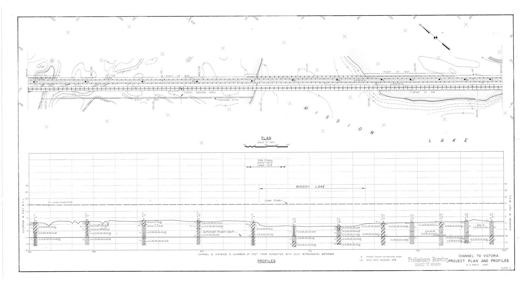
Channel to Victoria - Project plan and profiles in 10 sheets [Sheet 4]
-
Map/Doc
5456
-
Collection
General Map Collection
-
Counties
Calhoun
-
Subjects
Surveying Rolled Sketch
-
Height x Width
22.3 x 40.8 inches
56.6 x 103.6 cm
-
Medium
blueprint/diazo
-
Comments
See Calhoun County Sketch File 16 (35982) for correspondence.
Related maps
Calhoun County Sketch File 16

Print $4.00
- Digital $50.00
Calhoun County Sketch File 16
1954
Size 10.7 x 8.3 inches
Map/Doc 35982
Part of: General Map Collection
Upton County Rolled Sketch 58

Print $20.00
- Digital $50.00
Upton County Rolled Sketch 58
1988
Size 38.6 x 36.2 inches
Map/Doc 10061
Jeff Davis County Sketch File 43

Print $10.00
- Digital $50.00
Jeff Davis County Sketch File 43
1970
Size 14.2 x 8.6 inches
Map/Doc 28066
Orange County Working Sketch 18

Print $20.00
- Digital $50.00
Orange County Working Sketch 18
1931
Size 28.1 x 36.9 inches
Map/Doc 71350
Cass County Sketch File 6

Print $4.00
- Digital $50.00
Cass County Sketch File 6
1852
Size 8.4 x 8.8 inches
Map/Doc 17406

Jeff Davis County Rolled Sketch 29

Print $20.00
- Digital $50.00
Jeff Davis County Rolled Sketch 29
Size 40.4 x 27.2 inches
Map/Doc 6377
[Aerial photograph from Carancahua Bend of Caney Creek to Cedar Lake]
![78640, [Aerial photograph from Carancahua Bend of Caney Creek to Cedar Lake], General Map Collection](https://historictexasmaps.com/wmedia_w700/maps/78640.tif.jpg)
Print $20.00
- Digital $50.00
[Aerial photograph from Carancahua Bend of Caney Creek to Cedar Lake]
1991
Size 24.4 x 30.3 inches
Map/Doc 78640
Northwest Section of Ramsey State Farm

Print $20.00
- Digital $50.00
Northwest Section of Ramsey State Farm
Size 12.6 x 17.2 inches
Map/Doc 94281
Hays County Sketch File A

Print $6.00
- Digital $50.00
Hays County Sketch File A
1881
Size 10.8 x 8.4 inches
Map/Doc 26186
Montague County Rolled Sketch 9

Print $20.00
- Digital $50.00
Montague County Rolled Sketch 9
Size 29.1 x 39.4 inches
Map/Doc 6793
Cass County Rolled Sketch OF

Print $20.00
- Digital $50.00
Cass County Rolled Sketch OF
1937
Size 16.2 x 24.3 inches
Map/Doc 5414
Bandera County Sketch File 9

Print $2.00
- Digital $50.00
Bandera County Sketch File 9
Size 8.7 x 4.9 inches
Map/Doc 14009
You may also like
Nueces County Rolled Sketch 82

Print $43.00
Nueces County Rolled Sketch 82
1982
Size 18.6 x 25.0 inches
Map/Doc 6961
Galveston County Rolled Sketch 44

Print $20.00
- Digital $50.00
Galveston County Rolled Sketch 44
1992
Size 30.6 x 23.7 inches
Map/Doc 5977
Harris County Rolled Sketch 88

Print $20.00
- Digital $50.00
Harris County Rolled Sketch 88
1935
Size 34.4 x 22.7 inches
Map/Doc 6122
[Sketch for Mineral Application 16787 - Pecos River Bed, A. T. Freet]
![65632, [Sketch for Mineral Application 16787 - Pecos River Bed, A. T. Freet], General Map Collection](https://historictexasmaps.com/wmedia_w700/maps/65632-1.tif.jpg)
Print $40.00
- Digital $50.00
[Sketch for Mineral Application 16787 - Pecos River Bed, A. T. Freet]
Size 70.8 x 18.9 inches
Map/Doc 65632
Cass County Sketch File 5 and 5a

Print $6.00
- Digital $50.00
Cass County Sketch File 5 and 5a
1851
Size 2.8 x 5.1 inches
Map/Doc 17401
Maverick County Rolled Sketch 16

Print $20.00
- Digital $50.00
Maverick County Rolled Sketch 16
1887
Size 21.5 x 31.9 inches
Map/Doc 6709
Map of the Fort Worth & Denver City Railway, Wichita County, Texas

Print $40.00
- Digital $50.00
Map of the Fort Worth & Denver City Railway, Wichita County, Texas
1885
Size 23.7 x 66.5 inches
Map/Doc 64455
[Sketch showing Blocks B-11, G and M-2 and 3, L, and 47, Sections 77-102]
![91734, [Sketch showing Blocks B-11, G and M-2 and 3, L, and 47, Sections 77-102], Twichell Survey Records](https://historictexasmaps.com/wmedia_w700/maps/91734-1.tif.jpg)
Print $20.00
- Digital $50.00
[Sketch showing Blocks B-11, G and M-2 and 3, L, and 47, Sections 77-102]
Size 25.6 x 18.9 inches
Map/Doc 91734
Trinity River, Eagle Ford Sheet/Trinity and Elm Fork of Trinity River

Print $20.00
- Digital $50.00
Trinity River, Eagle Ford Sheet/Trinity and Elm Fork of Trinity River
1917
Size 29.5 x 23.2 inches
Map/Doc 69685
Midland County Boundary File 4b

Print $18.00
- Digital $50.00
Midland County Boundary File 4b
Size 13.6 x 9.0 inches
Map/Doc 57186
[PSL Blks. A55, A56, 77, B1, B2, B6 and and B10]
![89821, [PSL Blks. A55, A56, 77, B1, B2, B6 and and B10], Twichell Survey Records](https://historictexasmaps.com/wmedia_w700/maps/89821-1.tif.jpg)
Print $40.00
- Digital $50.00
[PSL Blks. A55, A56, 77, B1, B2, B6 and and B10]
Size 24.0 x 69.3 inches
Map/Doc 89821
Webb County Working Sketch 47

Print $20.00
- Digital $50.00
Webb County Working Sketch 47
1948
Size 35.9 x 36.2 inches
Map/Doc 72412