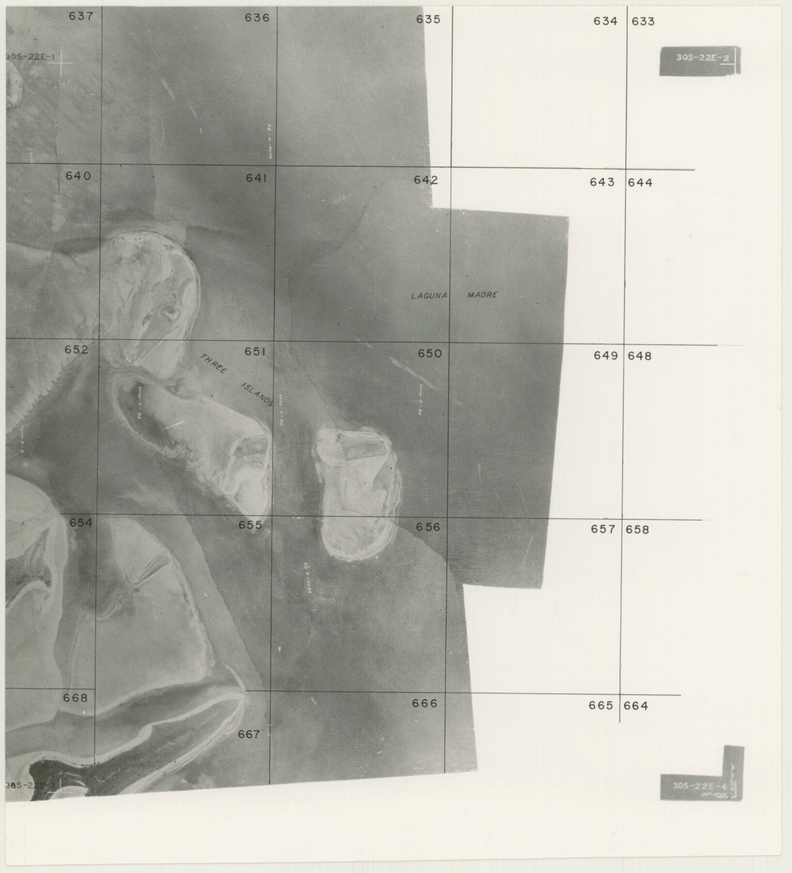
Cameron County Rolled Sketch 20C
[Partial aerial photograph]
-
Map/Doc
5475
-
Collection
General Map Collection
-
Counties
Cameron
-
Subjects
Surveying Rolled Sketch
-
Height x Width
13.1 x 11.9 inches
33.3 x 30.2 cm
-
Medium
photograph
Part of: General Map Collection
Yoakum County Sketch File 2

Print $6.00
- Digital $50.00
Yoakum County Sketch File 2
1892
Size 14.5 x 8.5 inches
Map/Doc 40702
Runnels County Rolled Sketch 33

Print $20.00
- Digital $50.00
Runnels County Rolled Sketch 33
Size 22.5 x 43.5 inches
Map/Doc 7520
Howard County Rolled Sketch 10A

Print $20.00
- Digital $50.00
Howard County Rolled Sketch 10A
1940
Size 19.9 x 20.4 inches
Map/Doc 6241
Tom Green County Rolled Sketch 7

Print $20.00
- Digital $50.00
Tom Green County Rolled Sketch 7
Size 37.0 x 40.0 inches
Map/Doc 9998
Flight Mission No. BRE-3P, Frame 94, Nueces County

Print $20.00
- Digital $50.00
Flight Mission No. BRE-3P, Frame 94, Nueces County
1956
Size 18.5 x 22.4 inches
Map/Doc 86825
Presidio County

Print $40.00
- Digital $50.00
Presidio County
1875
Size 97.8 x 33.5 inches
Map/Doc 88867
Throckmorton County Working Sketch Graphic Index

Print $20.00
- Digital $50.00
Throckmorton County Working Sketch Graphic Index
1943
Size 44.6 x 36.3 inches
Map/Doc 76713
Brewster County Sketch File A-1

Print $8.00
- Digital $50.00
Brewster County Sketch File A-1
1911
Size 14.2 x 8.7 inches
Map/Doc 15712
Flight Mission No. CGI-3N, Frame 119, Cameron County

Print $20.00
- Digital $50.00
Flight Mission No. CGI-3N, Frame 119, Cameron County
1954
Size 18.5 x 22.2 inches
Map/Doc 84592
Wharton County Working Sketch 23

Print $20.00
- Digital $50.00
Wharton County Working Sketch 23
1919
Size 22.0 x 36.0 inches
Map/Doc 72487
Rains County Working Sketch 8

Print $20.00
- Digital $50.00
Rains County Working Sketch 8
1965
Size 24.3 x 28.1 inches
Map/Doc 71834
Atascosa County Rolled Sketch 22

Print $40.00
- Digital $50.00
Atascosa County Rolled Sketch 22
1917
Size 57.8 x 27.1 inches
Map/Doc 8919
You may also like
Presidio County Rolled Sketch 121

Print $40.00
- Digital $50.00
Presidio County Rolled Sketch 121
1939
Size 50.4 x 43.1 inches
Map/Doc 9797
Map of the Lands Surveyed by the Memphis, El Paso & Pacific R.R. Company

Print $20.00
- Digital $50.00
Map of the Lands Surveyed by the Memphis, El Paso & Pacific R.R. Company
1860
Size 20.1 x 20.8 inches
Map/Doc 4848
Brazos Santiago, Texas

Print $20.00
- Digital $50.00
Brazos Santiago, Texas
1900
Size 18.3 x 26.7 inches
Map/Doc 73032
Williamson County Working Sketch 8

Print $20.00
- Digital $50.00
Williamson County Working Sketch 8
1950
Size 43.4 x 25.4 inches
Map/Doc 72568
Map of Collin County

Print $20.00
- Digital $50.00
Map of Collin County
1862
Size 24.4 x 20.5 inches
Map/Doc 1084
Culberson County Rolled Sketch 23

Print $20.00
- Digital $50.00
Culberson County Rolled Sketch 23
1888
Size 24.1 x 35.2 inches
Map/Doc 5655
Scurry County Working Sketch 5

Print $40.00
- Digital $50.00
Scurry County Working Sketch 5
1950
Size 72.5 x 27.8 inches
Map/Doc 63834
Map of Denton County

Print $20.00
- Digital $50.00
Map of Denton County
1897
Size 43.4 x 40.2 inches
Map/Doc 4720
Bandera County Working Sketch 44

Print $20.00
- Digital $50.00
Bandera County Working Sketch 44
1980
Size 14.0 x 20.4 inches
Map/Doc 67640
Gulf Shore of Galveston Island Texas Shoreline and Offshore Depth Changes - Sheet 1

Print $20.00
- Digital $50.00
Gulf Shore of Galveston Island Texas Shoreline and Offshore Depth Changes - Sheet 1
1949
Size 30.9 x 40.8 inches
Map/Doc 61825
Flight Mission No. DAG-23K, Frame 182, Matagorda County

Print $20.00
- Digital $50.00
Flight Mission No. DAG-23K, Frame 182, Matagorda County
1953
Size 18.5 x 22.3 inches
Map/Doc 86517
El Paso County Boundary File 15

Print $7.00
- Digital $50.00
El Paso County Boundary File 15
Size 13.7 x 8.6 inches
Map/Doc 53186