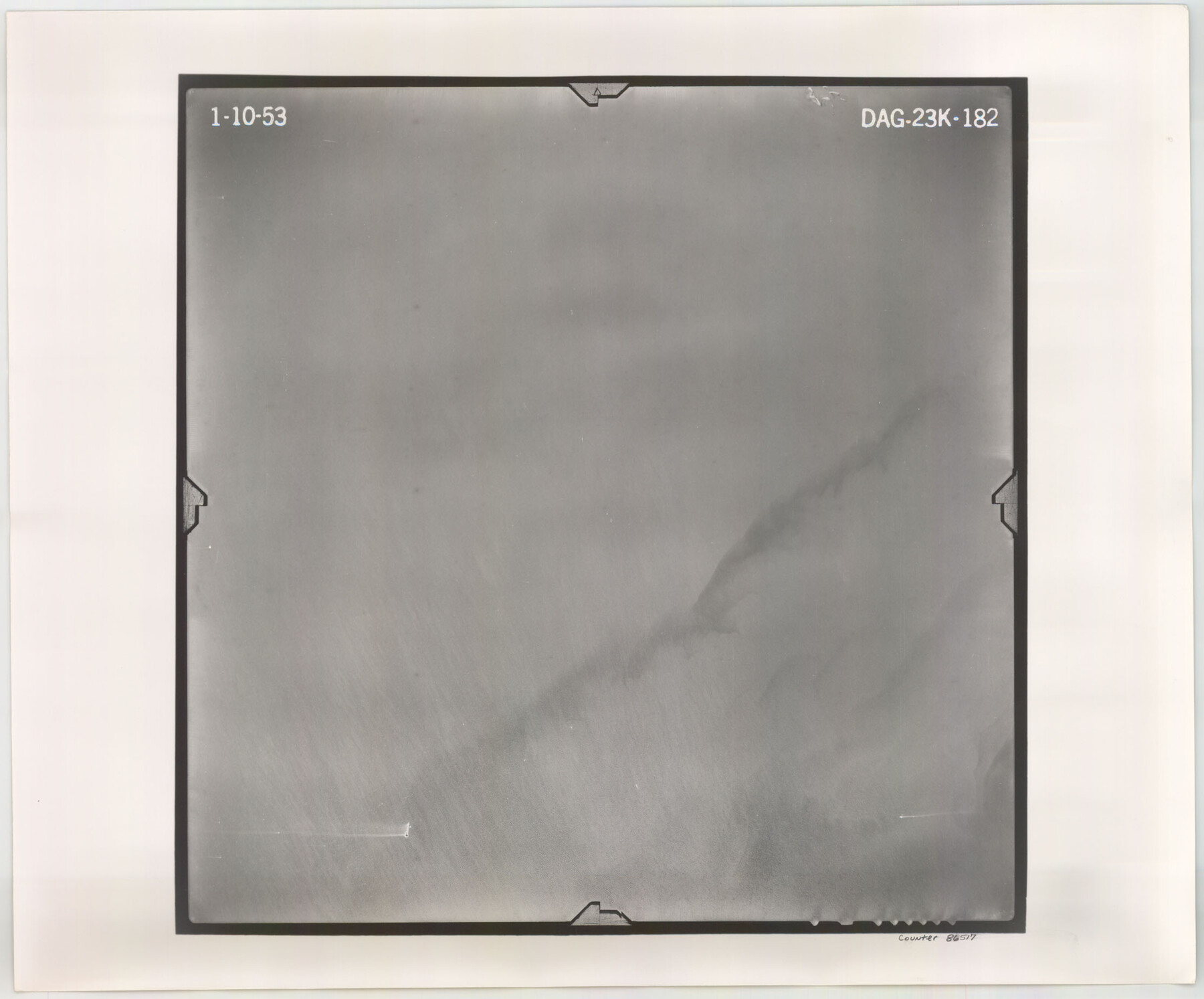
Flight Mission No. DAG-23K, Frame 182, Matagorda County
DAG-23K-182
-
Map/Doc
86517
-
Collection
General Map Collection
-
Object Dates
1953/1/10 (Creation Date)
-
People and Organizations
U. S. Department of Agriculture (Publisher)
-
Counties
Matagorda
-
Subjects
Aerial Photograph
-
Height x Width
18.5 x 22.3 inches
47.0 x 56.6 cm
-
Comments
Flown by Aero Exploration Company of Tulsa, Oklahoma.
Part of: General Map Collection
Brewster County Sketch File N-24

Print $40.00
- Digital $50.00
Brewster County Sketch File N-24
Size 23.9 x 16.4 inches
Map/Doc 10970
Rains County Working Sketch 4

Print $20.00
- Digital $50.00
Rains County Working Sketch 4
1919
Size 27.3 x 25.9 inches
Map/Doc 71830
Maps of Gulf Intracoastal Waterway, Texas - Sabine River to the Rio Grande and connecting waterways including ship channels

Print $20.00
- Digital $50.00
Maps of Gulf Intracoastal Waterway, Texas - Sabine River to the Rio Grande and connecting waterways including ship channels
1966
Size 14.5 x 22.2 inches
Map/Doc 61928
Flight Mission No. DCL-7C, Frame 123, Kenedy County

Print $20.00
- Digital $50.00
Flight Mission No. DCL-7C, Frame 123, Kenedy County
1943
Size 18.5 x 22.2 inches
Map/Doc 86088
Clay County Sketch File 37

Print $8.00
- Digital $50.00
Clay County Sketch File 37
1935
Size 11.6 x 7.2 inches
Map/Doc 18465
Edwards County

Print $20.00
- Digital $50.00
Edwards County
1893
Size 30.8 x 33.1 inches
Map/Doc 3507
Jack County Boundary File 1

Print $26.00
- Digital $50.00
Jack County Boundary File 1
Size 12.9 x 8.2 inches
Map/Doc 55363
Garza County Rolled Sketch 3

Print $20.00
- Digital $50.00
Garza County Rolled Sketch 3
1900
Size 32.7 x 47.7 inches
Map/Doc 75937
Austin County Rolled Sketch 5B

Print $40.00
- Digital $50.00
Austin County Rolled Sketch 5B
Size 23.7 x 51.5 inches
Map/Doc 5107
Roberts County Rolled Sketch 3

Print $40.00
- Digital $50.00
Roberts County Rolled Sketch 3
Size 38.4 x 50.0 inches
Map/Doc 8358
Flight Mission No. DIX-8P, Frame 62, Aransas County

Print $20.00
- Digital $50.00
Flight Mission No. DIX-8P, Frame 62, Aransas County
1956
Size 18.5 x 22.2 inches
Map/Doc 83893
Flight Mission No. CUG-3P, Frame 141, Kleberg County

Print $20.00
- Digital $50.00
Flight Mission No. CUG-3P, Frame 141, Kleberg County
1956
Size 18.4 x 22.2 inches
Map/Doc 86276
You may also like
Primary Transportation Routes through Mexican Texas

Primary Transportation Routes through Mexican Texas
2024
Size 11.0 x 8.5 inches
Map/Doc 97463
[D. & P. Blk. G6 in SE Armstrong and SW Donley Counties]
![90269, [D. & P. Blk. G6 in SE Armstrong and SW Donley Counties], Twichell Survey Records](https://historictexasmaps.com/wmedia_w700/maps/90269-1.tif.jpg)
Print $3.00
- Digital $50.00
[D. & P. Blk. G6 in SE Armstrong and SW Donley Counties]
Size 11.7 x 9.4 inches
Map/Doc 90269
[Robertson Co.]
![4488, [Robertson Co.], Maddox Collection](https://historictexasmaps.com/wmedia_w700/maps/4488.tif.jpg)
Print $20.00
- Digital $50.00
[Robertson Co.]
1880
Size 32.3 x 44.3 inches
Map/Doc 4488
Colorado County Sketch File 15

Print $4.00
- Digital $50.00
Colorado County Sketch File 15
Size 13.0 x 8.1 inches
Map/Doc 18943

Kimble County Rolled Sketch 31

Print $20.00
- Digital $50.00
Kimble County Rolled Sketch 31
Size 21.1 x 27.4 inches
Map/Doc 6521
Jackson County Rolled Sketch 3B

Print $20.00
- Digital $50.00
Jackson County Rolled Sketch 3B
1913
Size 23.7 x 21.8 inches
Map/Doc 6338
Flight Mission No. DCL-7C, Frame 111, Kenedy County

Print $20.00
- Digital $50.00
Flight Mission No. DCL-7C, Frame 111, Kenedy County
1943
Size 18.5 x 22.3 inches
Map/Doc 86076
Mitchell County Sketch File 16a

Print $12.00
- Digital $50.00
Mitchell County Sketch File 16a
1933
Size 11.3 x 8.8 inches
Map/Doc 31703
Travis County Appraisal District Plat Map 2_0601

Print $20.00
- Digital $50.00
Travis County Appraisal District Plat Map 2_0601
Size 21.5 x 26.4 inches
Map/Doc 94235
Karnes County Sketch File 7

Print $10.00
- Digital $50.00
Karnes County Sketch File 7
1863
Size 10.6 x 8.2 inches
Map/Doc 28559
Flight Mission No. DIX-10P, Frame 170, Aransas County

Print $20.00
- Digital $50.00
Flight Mission No. DIX-10P, Frame 170, Aransas County
1956
Size 18.7 x 22.3 inches
Map/Doc 83960