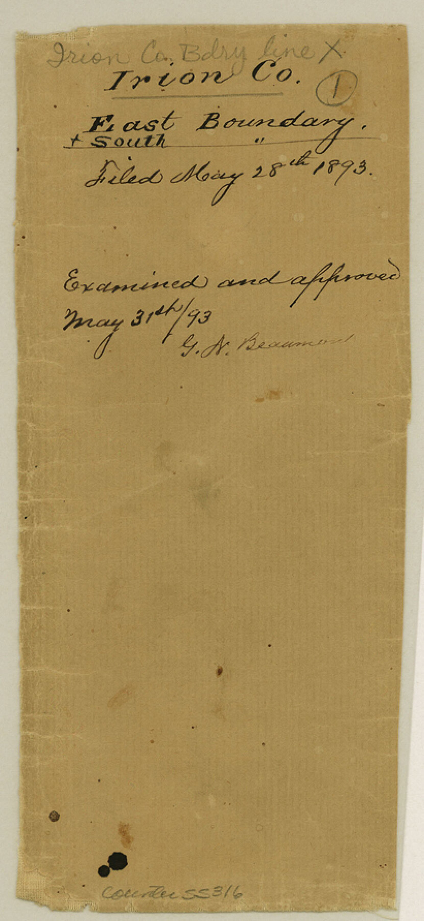
Irion County Boundary File 1
East Boundary & South
-
Map/Doc
55316
-
Collection
General Map Collection
-
Counties
Irion
-
Subjects
County Boundaries
-
Height x Width
8.9 x 4.1 inches
22.6 x 10.4 cm
Part of: General Map Collection
Castro County Sketch File 13

Print $4.00
- Digital $50.00
Castro County Sketch File 13
1962
Size 14.1 x 8.6 inches
Map/Doc 17509
Hemphill County Rolled Sketch 11

Print $20.00
- Digital $50.00
Hemphill County Rolled Sketch 11
1941
Size 45.1 x 21.8 inches
Map/Doc 9153
Map of Asylum Lands

Print $20.00
- Digital $50.00
Map of Asylum Lands
1857
Size 28.4 x 18.5 inches
Map/Doc 2459
Hale County Working Sketch 1

Print $20.00
- Digital $50.00
Hale County Working Sketch 1
1910
Size 34.5 x 22.1 inches
Map/Doc 63321
Fort Bend County Sketch File 24

Print $20.00
- Digital $50.00
Fort Bend County Sketch File 24
1890
Size 23.5 x 32.4 inches
Map/Doc 11509
Gillespie County Sketch File 7

Print $4.00
- Digital $50.00
Gillespie County Sketch File 7
1872
Size 7.7 x 7.3 inches
Map/Doc 24141

Lee County Working Sketch 9

Print $20.00
- Digital $50.00
Lee County Working Sketch 9
1979
Size 26.7 x 28.0 inches
Map/Doc 70388
Tyler County Rolled Sketch 11

Print $20.00
- Digital $50.00
Tyler County Rolled Sketch 11
Size 34.2 x 36.4 inches
Map/Doc 10033
Irion County Rolled Sketch 9

Print $20.00
- Digital $50.00
Irion County Rolled Sketch 9
1940
Size 31.9 x 30.6 inches
Map/Doc 6321
Flight Mission No. BRA-7M, Frame 73, Jefferson County

Print $20.00
- Digital $50.00
Flight Mission No. BRA-7M, Frame 73, Jefferson County
1953
Size 18.7 x 22.4 inches
Map/Doc 85495
Coryell County Sketch File 8

Print $6.00
- Digital $50.00
Coryell County Sketch File 8
1853
Size 16.0 x 10.2 inches
Map/Doc 19357
You may also like
[Surveying Sketch of J.H. Vermillion, S.L. Fite, et al in Zapata County]
![698, [Surveying Sketch of J.H. Vermillion, S.L. Fite, et al in Zapata County], Maddox Collection](https://historictexasmaps.com/wmedia_w700/maps/0698.tif.jpg)
Print $20.00
- Digital $50.00
[Surveying Sketch of J.H. Vermillion, S.L. Fite, et al in Zapata County]
1914
Size 15.6 x 12.1 inches
Map/Doc 698
Flight Mission No. DQO-1K, Frame 114, Galveston County

Print $20.00
- Digital $50.00
Flight Mission No. DQO-1K, Frame 114, Galveston County
1952
Size 18.8 x 22.5 inches
Map/Doc 84992
[Parts of Blocks 33, 34, 35, and 36, Township 3 North]
![91288, [Parts of Blocks 33, 34, 35, and 36, Township 3 North], Twichell Survey Records](https://historictexasmaps.com/wmedia_w700/maps/91288-1.tif.jpg)
Print $3.00
- Digital $50.00
[Parts of Blocks 33, 34, 35, and 36, Township 3 North]
Size 12.4 x 9.5 inches
Map/Doc 91288
Crockett County Sketch File 97

Print $20.00
- Digital $50.00
Crockett County Sketch File 97
Size 14.1 x 9.3 inches
Map/Doc 19966
Map of Polk Co.

Print $40.00
- Digital $50.00
Map of Polk Co.
1906
Size 52.0 x 43.0 inches
Map/Doc 16789
La Salle County Rolled Sketch 14

Print $20.00
- Digital $50.00
La Salle County Rolled Sketch 14
Size 22.3 x 24.8 inches
Map/Doc 6577
United States - Gulf Coast Texas - Northern part of Laguna Madre

Print $20.00
- Digital $50.00
United States - Gulf Coast Texas - Northern part of Laguna Madre
1941
Size 18.4 x 24.2 inches
Map/Doc 72936
Matagorda County NRC Article 33.136 Sketch 21

Print $42.00
Matagorda County NRC Article 33.136 Sketch 21
2025
Map/Doc 97429
Floyd County Boundary File 2a

Print $40.00
- Digital $50.00
Floyd County Boundary File 2a
Size 19.8 x 39.2 inches
Map/Doc 53488
Right of Way and Track Map Texas & New Orleans R.R. Co. operated by the T. & N. O. R.R. Co. Dallas-Sabine Branch

Print $40.00
- Digital $50.00
Right of Way and Track Map Texas & New Orleans R.R. Co. operated by the T. & N. O. R.R. Co. Dallas-Sabine Branch
1918
Size 26.4 x 56.7 inches
Map/Doc 64154
State of Texas, Wheeler County, Surveys 37-44-46, Block 17

Print $20.00
- Digital $50.00
State of Texas, Wheeler County, Surveys 37-44-46, Block 17
Size 19.4 x 13.0 inches
Map/Doc 92115
Port of Corpus Christi Inner Harbor Industrial District, Nueces County Navigation District Number One

Print $40.00
- Digital $50.00
Port of Corpus Christi Inner Harbor Industrial District, Nueces County Navigation District Number One
1972
Size 43.6 x 101.3 inches
Map/Doc 78635