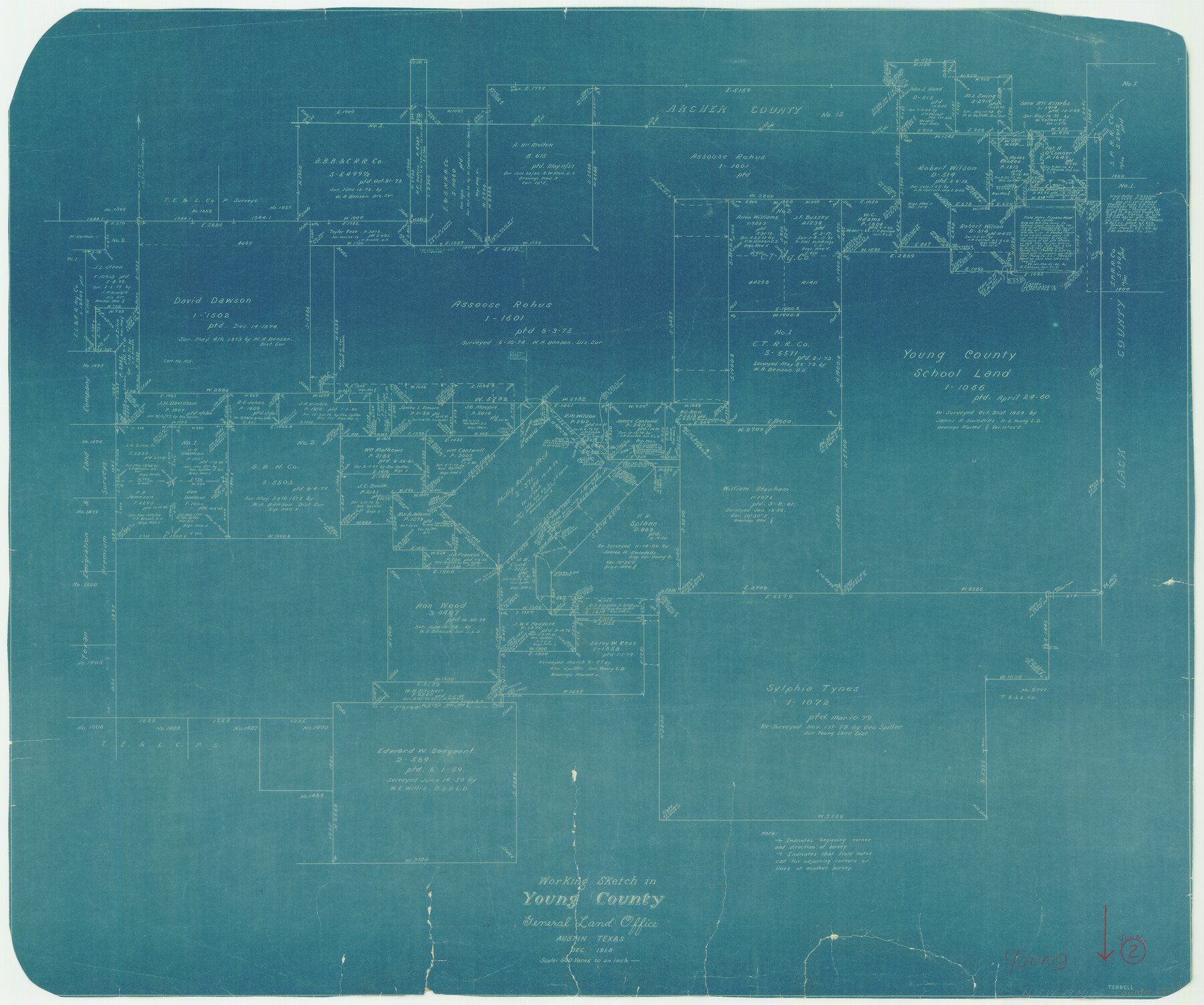
Young County Working Sketch 2
-
Map/Doc
62025
-
Collection
General Map Collection
-
Object Dates
12/1918 (Creation Date)
-
Counties
Young
-
Subjects
Surveying Working Sketch
-
Height x Width
28.1 x 33.7 inches
71.4 x 85.6 cm
-
Scale
1" = 600 varas
Part of: General Map Collection
Marion County Rolled Sketch 2

Print $20.00
- Digital $50.00
Marion County Rolled Sketch 2
1954
Size 34.8 x 45.9 inches
Map/Doc 46621
Bosque County Working Sketch 7

Print $20.00
- Digital $50.00
Bosque County Working Sketch 7
1942
Size 23.7 x 34.5 inches
Map/Doc 67440
Flight Mission No. DCL-4C, Frame 122, Kenedy County

Print $20.00
- Digital $50.00
Flight Mission No. DCL-4C, Frame 122, Kenedy County
1943
Size 18.6 x 22.3 inches
Map/Doc 85821
Flight Mission No. DQO-2K, Frame 135, Galveston County

Print $20.00
- Digital $50.00
Flight Mission No. DQO-2K, Frame 135, Galveston County
1952
Size 18.7 x 22.5 inches
Map/Doc 85032
Swisher County Working Sketch 3

Print $20.00
- Digital $50.00
Swisher County Working Sketch 3
1951
Size 22.9 x 23.4 inches
Map/Doc 62414
Dimmit County Sketch File 55

Print $20.00
- Digital $50.00
Dimmit County Sketch File 55
1926
Size 23.1 x 15.7 inches
Map/Doc 11359
Texas-Louisiana Gulf Coastal Region showing Oil & Gas Fields & Prospects, Pipe Lines, Refineries & Principal Highways

Print $20.00
- Digital $50.00
Texas-Louisiana Gulf Coastal Region showing Oil & Gas Fields & Prospects, Pipe Lines, Refineries & Principal Highways
1933
Size 22.4 x 44.2 inches
Map/Doc 96874
Flight Mission No. DQN-1K, Frame 32, Calhoun County

Print $20.00
- Digital $50.00
Flight Mission No. DQN-1K, Frame 32, Calhoun County
1953
Size 18.6 x 22.2 inches
Map/Doc 84137
San Jacinto County Working Sketch 20

Print $20.00
- Digital $50.00
San Jacinto County Working Sketch 20
1939
Size 30.3 x 24.0 inches
Map/Doc 63733
Approaches to Galveston Bay

Print $40.00
- Digital $50.00
Approaches to Galveston Bay
1972
Size 50.2 x 36.0 inches
Map/Doc 69881
Kenedy County Aerial Photograph Index Sheet 3

Print $20.00
- Digital $50.00
Kenedy County Aerial Photograph Index Sheet 3
1943
Size 23.5 x 18.4 inches
Map/Doc 83715
Fractional Township No. 8 South Range No. 18 East of the Indian Meridian, Indian Territory

Print $20.00
- Digital $50.00
Fractional Township No. 8 South Range No. 18 East of the Indian Meridian, Indian Territory
1897
Size 19.2 x 24.3 inches
Map/Doc 75233
You may also like
Crockett County Rolled Sketch 47

Print $20.00
- Digital $50.00
Crockett County Rolled Sketch 47
1939
Size 22.2 x 21.1 inches
Map/Doc 5596

San Patricio County Sketch File 34

Print $4.00
- Digital $50.00
San Patricio County Sketch File 34
1961
Size 11.4 x 8.8 inches
Map/Doc 36119
Sherman County

Print $20.00
- Digital $50.00
Sherman County
1932
Size 39.6 x 36.4 inches
Map/Doc 77422
Atascosa County Rolled Sketch 5B1

Print $20.00
- Digital $50.00
Atascosa County Rolled Sketch 5B1
Size 14.6 x 11.7 inches
Map/Doc 5090
Brewster County Working Sketch 19

Print $20.00
- Digital $50.00
Brewster County Working Sketch 19
1935
Size 15.7 x 13.0 inches
Map/Doc 67551
Flight Mission No. CGI-3N, Frame 102, Cameron County

Print $20.00
- Digital $50.00
Flight Mission No. CGI-3N, Frame 102, Cameron County
1954
Size 18.6 x 22.2 inches
Map/Doc 84582
Panola County

Print $20.00
- Digital $50.00
Panola County
1947
Size 40.8 x 40.3 inches
Map/Doc 66969
[Right of Way & Track Map, The Texas & Pacific Ry. Co. Main Line]
![64661, [Right of Way & Track Map, The Texas & Pacific Ry. Co. Main Line], General Map Collection](https://historictexasmaps.com/wmedia_w700/maps/64661.tif.jpg)
Print $20.00
- Digital $50.00
[Right of Way & Track Map, The Texas & Pacific Ry. Co. Main Line]
Size 11.0 x 18.6 inches
Map/Doc 64661
Terrell County Working Sketch 28

Print $20.00
- Digital $50.00
Terrell County Working Sketch 28
1944
Size 42.0 x 41.9 inches
Map/Doc 62178
El Paso County Working Sketch 5

Print $20.00
- Digital $50.00
El Paso County Working Sketch 5
1916
Size 21.5 x 37.2 inches
Map/Doc 69027
No. 3 Chart of Channel connecting Corpus Christi Bay with Aransas Bay, Texas

Print $20.00
- Digital $50.00
No. 3 Chart of Channel connecting Corpus Christi Bay with Aransas Bay, Texas
1878
Size 18.3 x 27.9 inches
Map/Doc 72783