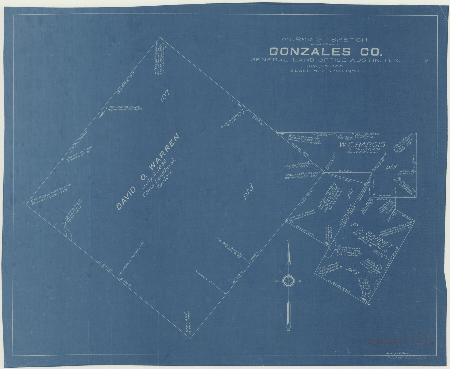
Gonzales County Working Sketch 2
-
Map/Doc
63217
-
Collection
General Map Collection
-
Object Dates
6/25/1920 (Creation Date)
-
People and Organizations
Grady W. Davis (Draftsman)
-
Counties
Gonzales
-
Subjects
Surveying Working Sketch
-
Height x Width
17.6 x 21.5 inches
44.7 x 54.6 cm
-
Scale
1" = 500 varas
Part of: General Map Collection
Lavaca County Working Sketch 24

Print $20.00
- Digital $50.00
Lavaca County Working Sketch 24
1985
Size 29.5 x 35.7 inches
Map/Doc 70377
Nacogdoches County

Print $40.00
- Digital $50.00
Nacogdoches County
1950
Size 51.0 x 42.4 inches
Map/Doc 66950
Presidio County Working Sketch Graphic Index, South Part, Sheet 1 (Sketches 1 to 44)

Print $20.00
- Digital $50.00
Presidio County Working Sketch Graphic Index, South Part, Sheet 1 (Sketches 1 to 44)
1975
Size 32.3 x 38.0 inches
Map/Doc 76670
Flight Mission No. CLL-3N, Frame 39, Willacy County

Print $20.00
- Digital $50.00
Flight Mission No. CLL-3N, Frame 39, Willacy County
1954
Size 18.3 x 22.0 inches
Map/Doc 87097
Hardeman County Sketch File A2

Print $20.00
- Digital $50.00
Hardeman County Sketch File A2
Size 28.5 x 17.3 inches
Map/Doc 11631
Donley County Sketch File 6

Print $16.00
- Digital $50.00
Donley County Sketch File 6
1881
Size 12.9 x 8.5 inches
Map/Doc 21230
Freestone County Working Sketch 28

Print $20.00
- Digital $50.00
Freestone County Working Sketch 28
1981
Size 17.2 x 22.5 inches
Map/Doc 69270
Presidio County Sketch File 21A

Print $12.00
- Digital $50.00
Presidio County Sketch File 21A
1889
Size 5.1 x 8.8 inches
Map/Doc 34460
Sectional Map No. 2 of the lands and the line of the Texas & Pacific Ry. Co. in Howard, Martin, Andrews, Midland and Tom Green Counties

Print $20.00
- Digital $50.00
Sectional Map No. 2 of the lands and the line of the Texas & Pacific Ry. Co. in Howard, Martin, Andrews, Midland and Tom Green Counties
1885
Size 19.1 x 23.2 inches
Map/Doc 4860
Newton County Working Sketch 41

Print $20.00
- Digital $50.00
Newton County Working Sketch 41
1979
Size 17.8 x 26.2 inches
Map/Doc 71287
Right of Way and Track Map, the Missouri, Kansas & Texas Ry. Of Texas operated by the Missouri, Kansas & Texas Ry. Of Texas, Houston Division

Print $40.00
- Digital $50.00
Right of Way and Track Map, the Missouri, Kansas & Texas Ry. Of Texas operated by the Missouri, Kansas & Texas Ry. Of Texas, Houston Division
1918
Size 26.0 x 62.1 inches
Map/Doc 64785
Hardin County Sketch File 69

Print $20.00
- Digital $50.00
Hardin County Sketch File 69
1944
Size 25.1 x 22.0 inches
Map/Doc 11641
You may also like
Rusk County Sketch File 27a

Print $10.00
Rusk County Sketch File 27a
1936
Size 14.2 x 8.8 inches
Map/Doc 35532
Brewster County Working Sketch 112

Print $20.00
- Digital $50.00
Brewster County Working Sketch 112
1982
Size 28.1 x 26.8 inches
Map/Doc 67712
El Paso County Sketch File 35 (1)

Print $8.00
- Digital $50.00
El Paso County Sketch File 35 (1)
Size 13.0 x 8.3 inches
Map/Doc 22166
Rockwall County Boundary File 2

Print $12.00
- Digital $50.00
Rockwall County Boundary File 2
Size 14.4 x 8.9 inches
Map/Doc 58385
Coke County Working Sketch 6

Print $20.00
- Digital $50.00
Coke County Working Sketch 6
1914
Size 19.1 x 15.7 inches
Map/Doc 68043
Lubbock County Boundary File 6

Print $58.00
- Digital $50.00
Lubbock County Boundary File 6
Size 4.7 x 7.0 inches
Map/Doc 56494
[Points along west and north lines of county]
![90401, [Points along west and north lines of county], Twichell Survey Records](https://historictexasmaps.com/wmedia_w700/maps/90401-1.tif.jpg)
Print $20.00
- Digital $50.00
[Points along west and north lines of county]
Size 14.7 x 19.3 inches
Map/Doc 90401
Burleson County Sketch File 6

Print $4.00
- Digital $50.00
Burleson County Sketch File 6
1865
Size 8.0 x 9.3 inches
Map/Doc 16651
Map of the CB Live Stock Co. -N- Ranch situated in Crosby County, Texas

Print $20.00
- Digital $50.00
Map of the CB Live Stock Co. -N- Ranch situated in Crosby County, Texas
1907
Size 41.4 x 38.0 inches
Map/Doc 89919
Lampasas County Boundary File 2

Print $4.00
- Digital $50.00
Lampasas County Boundary File 2
Size 13.8 x 8.8 inches
Map/Doc 56095
Flight Mission No. DAG-17K, Frame 123, Matagorda County

Print $20.00
- Digital $50.00
Flight Mission No. DAG-17K, Frame 123, Matagorda County
1952
Size 18.6 x 22.3 inches
Map/Doc 86343
Montgomery County Rolled Sketch 40

Print $393.00
- Digital $50.00
Montgomery County Rolled Sketch 40
1970
Size 10.3 x 16.0 inches
Map/Doc 46793