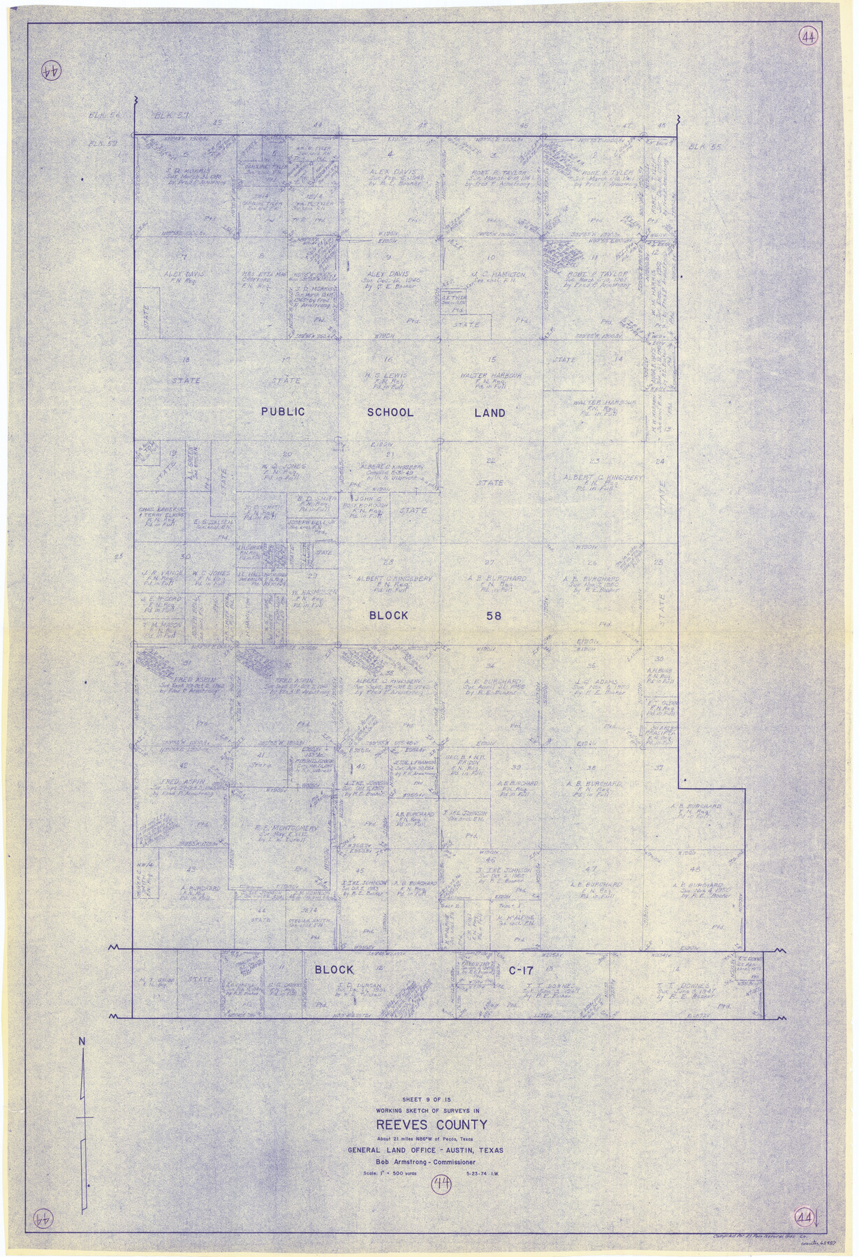
Reeves County Working Sketch 44
-
Map/Doc
63487
-
Collection
General Map Collection
-
Object Dates
5/23/1974 (Creation Date)
-
Counties
Reeves
-
Subjects
Surveying Working Sketch
-
Height x Width
46.9 x 32.1 inches
119.1 x 81.5 cm
-
Scale
1" = 500 varas
Part of: General Map Collection
Orange County Rolled Sketch 19A

Print $20.00
- Digital $50.00
Orange County Rolled Sketch 19A
1945
Size 17.3 x 24.7 inches
Map/Doc 7184
Jones County Sketch File 1

Print $20.00
- Digital $50.00
Jones County Sketch File 1
1857
Size 17.8 x 30.3 inches
Map/Doc 11894
Gulf Coast of the United States, Key West to Rio Grande

Print $20.00
- Digital $50.00
Gulf Coast of the United States, Key West to Rio Grande
1892
Size 27.3 x 18.3 inches
Map/Doc 72671
Johnson County Working Sketch 26

Print $20.00
- Digital $50.00
Johnson County Working Sketch 26
2005
Size 22.3 x 41.8 inches
Map/Doc 83574
Map of Polk County

Print $20.00
- Digital $50.00
Map of Polk County
1856
Size 22.1 x 23.7 inches
Map/Doc 3961
Howard County Rolled Sketch 8

Print $20.00
- Digital $50.00
Howard County Rolled Sketch 8
Size 43.0 x 18.4 inches
Map/Doc 6238
Cameron County Rolled Sketch 26

Print $20.00
- Digital $50.00
Cameron County Rolled Sketch 26
Size 18.5 x 24.3 inches
Map/Doc 5390
Midland County Working Sketch 10

Print $20.00
- Digital $50.00
Midland County Working Sketch 10
1951
Size 30.2 x 21.2 inches
Map/Doc 70990
Maps of Block 97, Borden & Scurry Counties

Print $40.00
- Digital $50.00
Maps of Block 97, Borden & Scurry Counties
Size 58.2 x 42.2 inches
Map/Doc 65691
Uvalde County Sketch File 29

Print $8.00
- Digital $50.00
Uvalde County Sketch File 29
1873
Size 13.0 x 8.3 inches
Map/Doc 39028
Map of the River Sabine from its mouth on the Gulf of Mexico in the sea to Logan's Ferry in latitude 31° 58' 24" north

Print $20.00
- Digital $50.00
Map of the River Sabine from its mouth on the Gulf of Mexico in the sea to Logan's Ferry in latitude 31° 58' 24" north
1842
Size 18.5 x 9.0 inches
Map/Doc 65384
Presidio County Working Sketch 5

Print $20.00
- Digital $50.00
Presidio County Working Sketch 5
1917
Size 14.0 x 17.5 inches
Map/Doc 71679
You may also like
Reeves County Working Sketch 41

Print $40.00
- Digital $50.00
Reeves County Working Sketch 41
1973
Size 42.5 x 53.4 inches
Map/Doc 63484
Map of Comal County

Print $40.00
- Digital $50.00
Map of Comal County
1897
Size 44.3 x 48.5 inches
Map/Doc 4681
Dallas County Rolled Sketch 2

Print $40.00
- Digital $50.00
Dallas County Rolled Sketch 2
1950
Size 36.9 x 51.0 inches
Map/Doc 8766
Comanche County Working Sketch 1

Print $20.00
- Digital $50.00
Comanche County Working Sketch 1
Size 23.5 x 20.1 inches
Map/Doc 68135
Capitol Land Reservation

Print $20.00
- Digital $50.00
Capitol Land Reservation
1880
Size 43.7 x 34.2 inches
Map/Doc 10745
Jeff Davis County Working Sketch 30

Print $20.00
- Digital $50.00
Jeff Davis County Working Sketch 30
1969
Size 36.1 x 31.2 inches
Map/Doc 66525
Hansford County Boundary File 3

Print $10.00
- Digital $50.00
Hansford County Boundary File 3
Size 13.6 x 8.7 inches
Map/Doc 54270
Travis County

Print $40.00
- Digital $50.00
Travis County
1936
Size 43.2 x 54.6 inches
Map/Doc 63078
Gray County Working Sketch 3

Print $20.00
- Digital $50.00
Gray County Working Sketch 3
1958
Size 36.4 x 31.8 inches
Map/Doc 63234
Brazoria County Working Sketch 32

Print $20.00
- Digital $50.00
Brazoria County Working Sketch 32
1979
Size 15.8 x 36.9 inches
Map/Doc 67517
[Sketch of surveys north of "Las Animas" grant, Webb County]
![668, [Sketch of surveys north of "Las Animas" grant, Webb County], Maddox Collection](https://historictexasmaps.com/wmedia_w700/maps/668.tif.jpg)
Print $3.00
- Digital $50.00
[Sketch of surveys north of "Las Animas" grant, Webb County]
1908
Size 16.9 x 10.7 inches
Map/Doc 668
Sulphur River, Bassett Sheet

Print $20.00
- Digital $50.00
Sulphur River, Bassett Sheet
1939
Size 24.8 x 32.0 inches
Map/Doc 78322