[San Antonio & Aransas Pass R.R. Right of Way from Eagle Lake to Brazos River]
Z-2-64
-
Map/Doc
64256
-
Collection
General Map Collection
-
Object Dates
1895 (Creation Date)
-
Counties
Wharton Colorado Austin
-
Subjects
Railroads
-
Height x Width
30.8 x 124.9 inches
78.2 x 317.2 cm
-
Medium
linen, manuscript
-
Comments
See counter 64257 for segment 2.
-
Features
SA&AP
Brazos River
East Bernard
Southern Pacific Railroad Company
Eagle Lake
Chester Sta.
Middle Bernard
GC&SF
Wallis
Part of: General Map Collection
[Texas & Pacific Railway through Callahan County]
![64233, [Texas & Pacific Railway through Callahan County], General Map Collection](https://historictexasmaps.com/wmedia_w700/maps/64233.tif.jpg)
![64233, [Texas & Pacific Railway through Callahan County], General Map Collection](https://historictexasmaps.com/wmedia_w700/maps/64233.tif.jpg)
Print $20.00
- Digital $50.00
[Texas & Pacific Railway through Callahan County]
1918
Size 20.5 x 9.4 inches
Map/Doc 64233
Little River, Reeds Lake Sheet


Print $6.00
- Digital $50.00
Little River, Reeds Lake Sheet
1927
Size 31.8 x 28.1 inches
Map/Doc 65066
Harris County Sketch File 86

Print $20.00
- Digital $50.00
Harris County Sketch File 86
1894
Size 34.7 x 21.3 inches
Map/Doc 11674
El Paso County Working Sketch 44


Print $20.00
- Digital $50.00
El Paso County Working Sketch 44
1992
Size 25.6 x 25.4 inches
Map/Doc 69066
Field Notes of Mercer's Colony, Robertson, Nac[a]gdoches, Fannin, & Lamar Counties.
![1953, Field Notes of Mercer's Colony, Robertson, Nac[a]gdoches, Fannin, & Lamar Counties., General Map Collection](https://historictexasmaps.com/wmedia_w700/pdf_converted_jpg/qi_pdf_thumbnail_897.jpg)
![1953, Field Notes of Mercer's Colony, Robertson, Nac[a]gdoches, Fannin, & Lamar Counties., General Map Collection](https://historictexasmaps.com/wmedia_w700/pdf_converted_jpg/qi_pdf_thumbnail_897.jpg)
Print $30.00
- Digital $50.00
Field Notes of Mercer's Colony, Robertson, Nac[a]gdoches, Fannin, & Lamar Counties.
1845
Size 9.5 x 14.8 inches
Map/Doc 1953
United States - Gulf Coast Texas - Northern part of Laguna Madre

Print $20.00
- Digital $50.00
United States - Gulf Coast Texas - Northern part of Laguna Madre
1923
Size 26.6 x 18.3 inches
Map/Doc 72931
Brewster County Sketch File NS-14
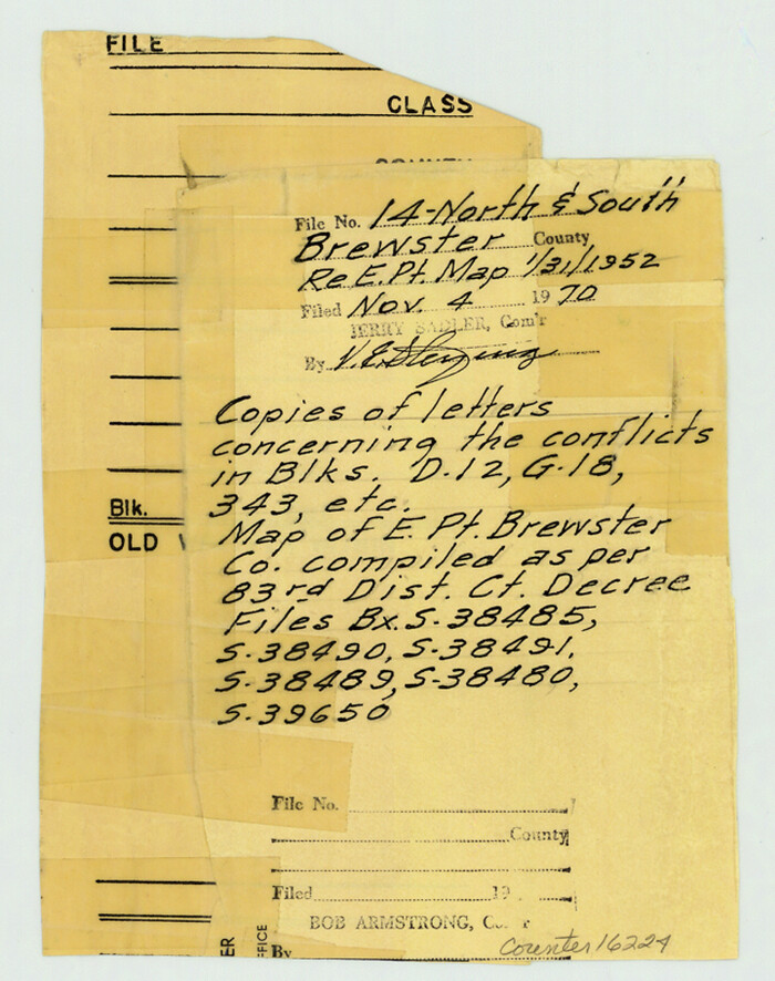

Print $160.00
- Digital $50.00
Brewster County Sketch File NS-14
1970
Size 8.2 x 6.5 inches
Map/Doc 16224
Kendall County Rolled Sketch 9


Print $20.00
- Digital $50.00
Kendall County Rolled Sketch 9
1990
Size 32.8 x 24.3 inches
Map/Doc 95298
Stonewall County Rolled Sketch 28
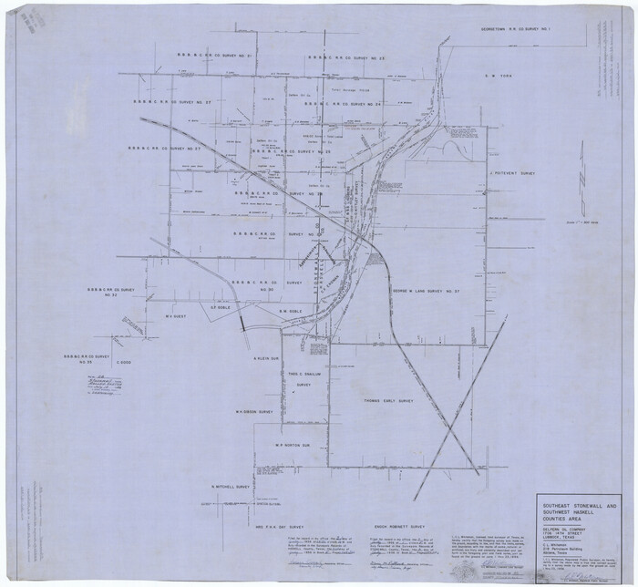

Print $20.00
- Digital $50.00
Stonewall County Rolled Sketch 28
Size 42.8 x 46.5 inches
Map/Doc 9967
Sterling County Rolled Sketch 22


Print $20.00
- Digital $50.00
Sterling County Rolled Sketch 22
Size 33.6 x 30.8 inches
Map/Doc 9953
Van Zandt County Sketch File 22a
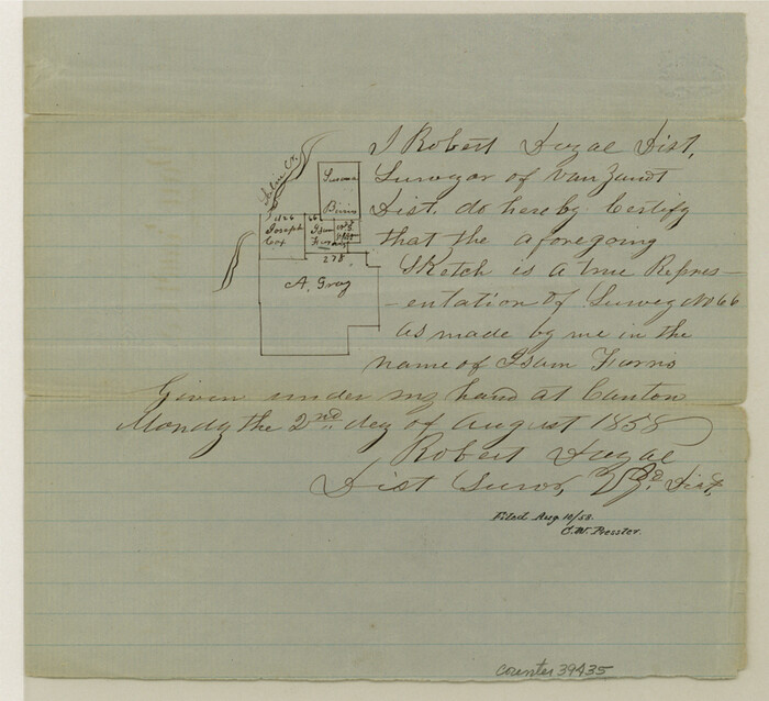

Print $4.00
- Digital $50.00
Van Zandt County Sketch File 22a
1858
Size 7.5 x 8.2 inches
Map/Doc 39435
You may also like
Survey in South Austin for Mr. R.N. Graham
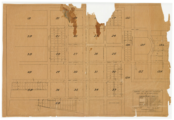

Print $20.00
- Digital $50.00
Survey in South Austin for Mr. R.N. Graham
Map/Doc 93795
Maps of Gulf Intracoastal Waterway, Texas - Sabine River to the Rio Grande and connecting waterways including ship channels
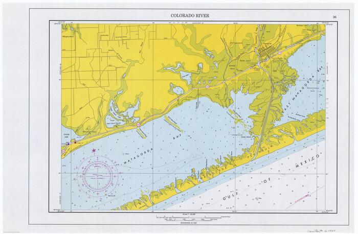

Print $20.00
- Digital $50.00
Maps of Gulf Intracoastal Waterway, Texas - Sabine River to the Rio Grande and connecting waterways including ship channels
1966
Size 14.6 x 22.3 inches
Map/Doc 61957
Pecos County Working Sketch 97
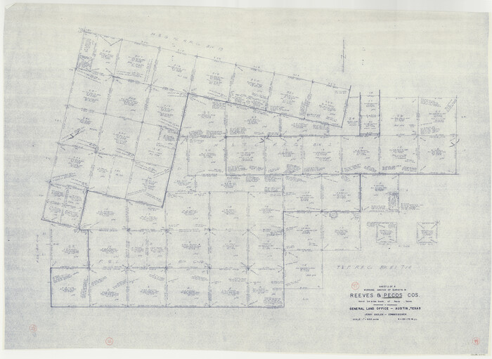

Print $40.00
- Digital $50.00
Pecos County Working Sketch 97
1970
Size 35.7 x 48.9 inches
Map/Doc 71570
University Land Loving-Ward-Winkler Counties


Print $40.00
- Digital $50.00
University Land Loving-Ward-Winkler Counties
1931
Size 47.9 x 63.2 inches
Map/Doc 2415
Orange County Sketch File A
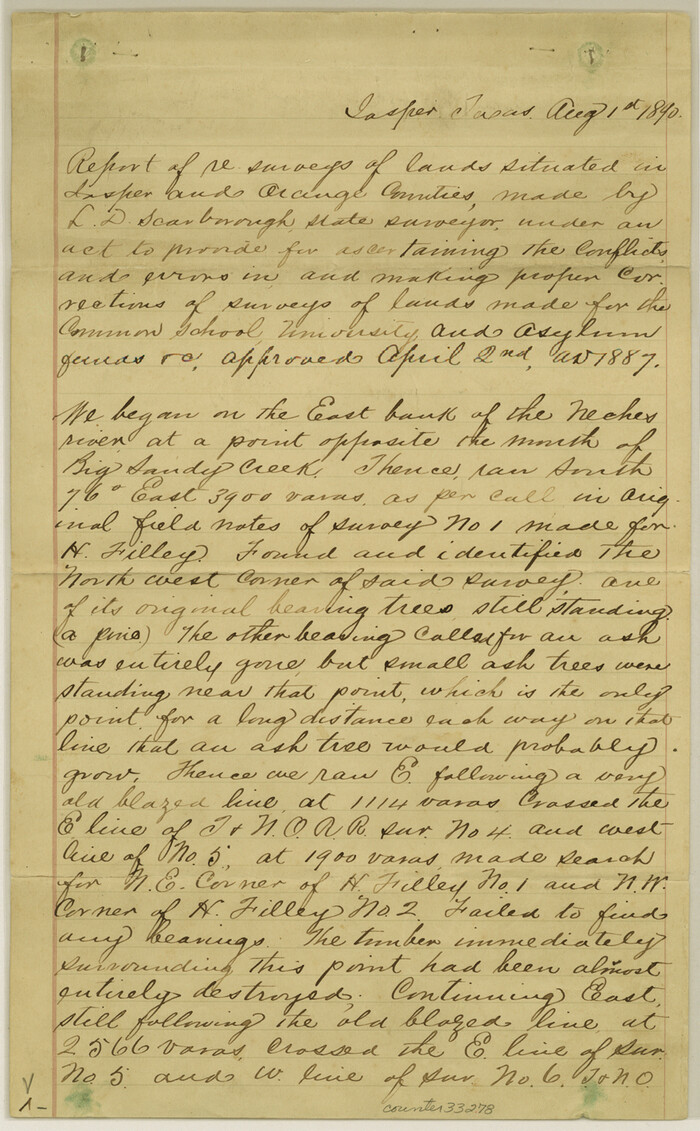

Print $40.00
- Digital $50.00
Orange County Sketch File A
1890
Size 14.2 x 8.8 inches
Map/Doc 33278
Wilbarger County Sketch File 15


Print $4.00
- Digital $50.00
Wilbarger County Sketch File 15
1886
Size 14.4 x 8.8 inches
Map/Doc 40205
Houston County Working Sketch 32
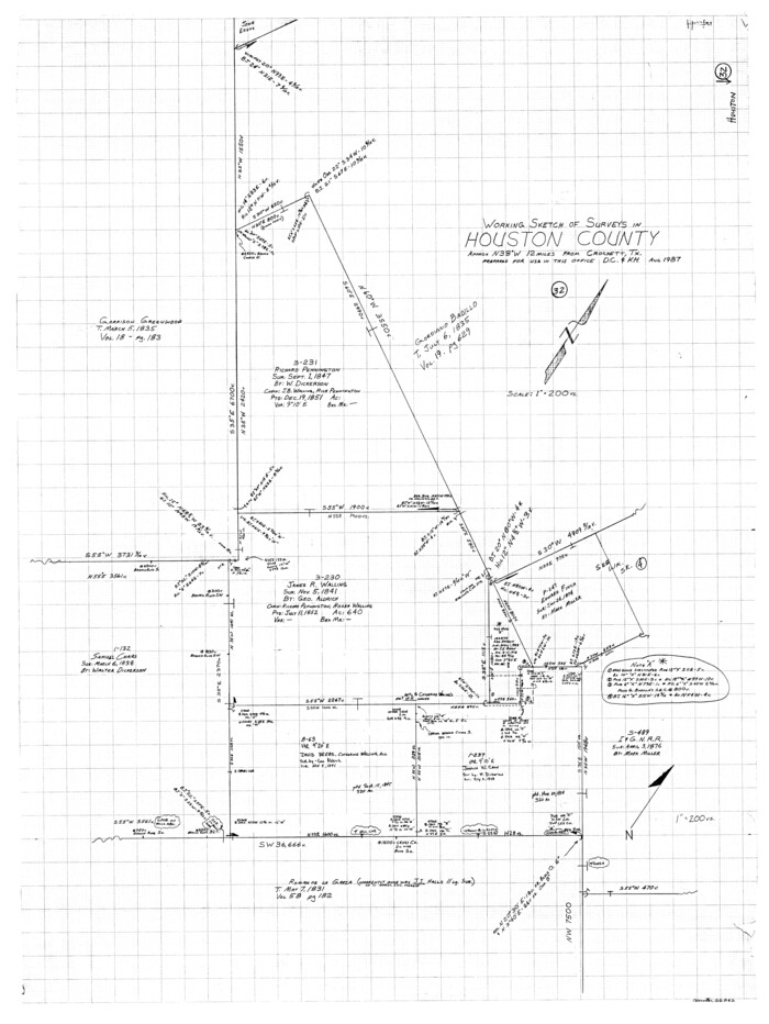

Print $20.00
- Digital $50.00
Houston County Working Sketch 32
1987
Size 43.9 x 33.0 inches
Map/Doc 66262
Terrell County Working Sketch 19

Print $20.00
- Digital $50.00
Terrell County Working Sketch 19
1932
Size 18.6 x 25.6 inches
Map/Doc 69801
Bee County Sketch File X

Print $6.00
- Digital $50.00
Bee County Sketch File X
Size 11.5 x 11.0 inches
Map/Doc 14243
Supreme Court of the United States, October Term, 1924, No. 13, Original - The State of Oklahoma, Complainant vs. The State of Texas, Defendant, The United States, Intervener

Print $20.00
- Digital $50.00
Supreme Court of the United States, October Term, 1924, No. 13, Original - The State of Oklahoma, Complainant vs. The State of Texas, Defendant, The United States, Intervener
1924
Size 22.1 x 38.7 inches
Map/Doc 75130
![64256, [San Antonio & Aransas Pass R.R. Right of Way from Eagle Lake to Brazos River], General Map Collection](https://historictexasmaps.com/wmedia_w1800h1800/maps/64256.tif.jpg)
