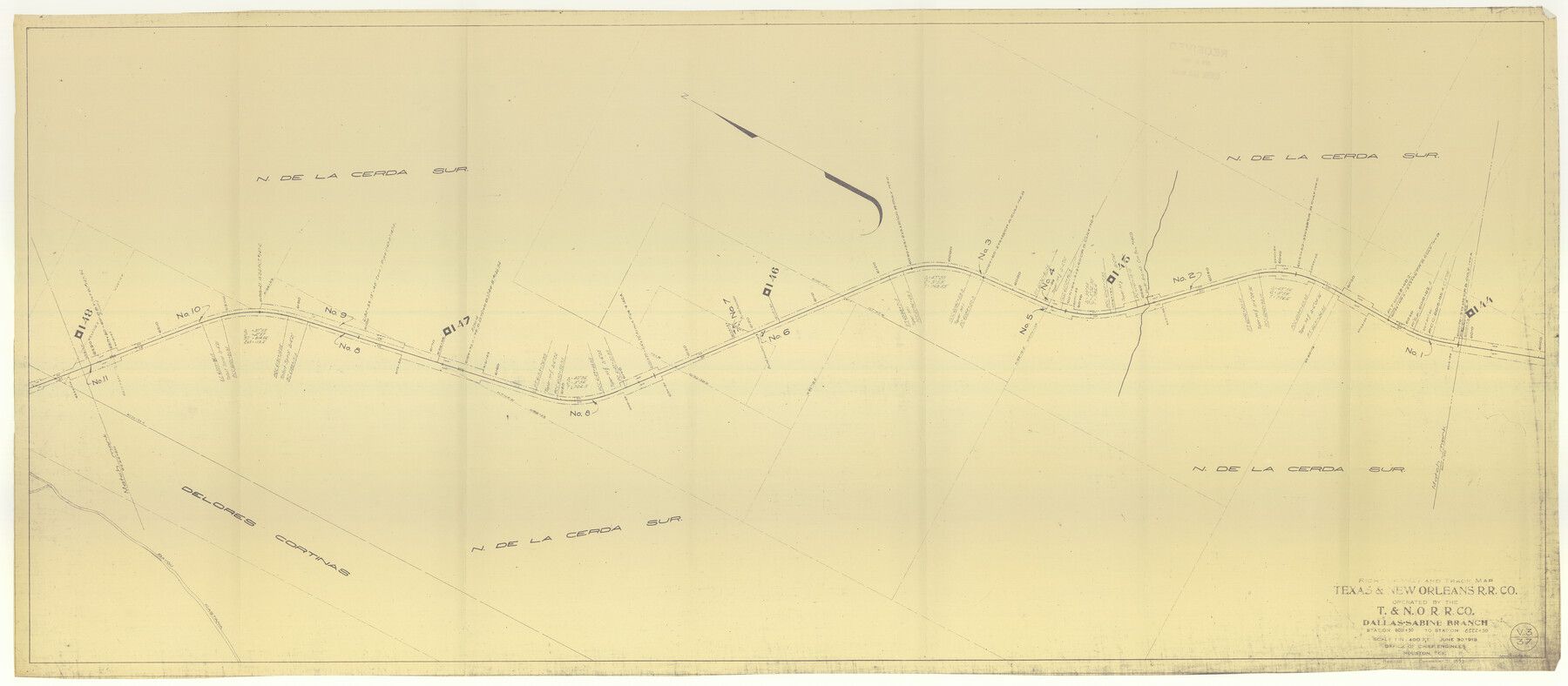
Right of Way and Track Map, Texas & New Orleans R.R. Co. operated by the T. & N. O. R.R. Co., Dallas-Sabine Branch
Station 6011+30 to Station 6222+50
Z-2-187
-
Map/Doc
64630
-
Collection
General Map Collection
-
Object Dates
1927/12/31 (Revision Date)
1918/6/30 (Creation Date)
-
Counties
Nacogdoches
-
Subjects
Railroads
-
Height x Width
24.9 x 56.9 inches
63.2 x 144.5 cm
-
Medium
blueprint/diazo
-
Scale
1" = 400 feet
-
Comments
See counter nos. 64629 and 64631 through 64632 for other sheets.
-
Features
T&NO
Bayou Castana
Part of: General Map Collection
Bandera County Rolled Sketch 13

Print $20.00
- Digital $50.00
Bandera County Rolled Sketch 13
2018
Size 24.1 x 20.5 inches
Map/Doc 95305
Texas-Oklahoma Boundary Line: brief summary of the lands surveyed and the lands not surveyed in the dispute between Oklahoma vs. Texas

Print $356.00
- Digital $50.00
Texas-Oklahoma Boundary Line: brief summary of the lands surveyed and the lands not surveyed in the dispute between Oklahoma vs. Texas
1923
Size 6.0 x 9.2 inches
Map/Doc 3061

Calhoun County Rolled Sketch 29A

Print $20.00
- Digital $50.00
Calhoun County Rolled Sketch 29A
Size 30.4 x 33.5 inches
Map/Doc 8557
Flight Mission No. BQR-7K, Frame 25, Brazoria County

Print $20.00
- Digital $50.00
Flight Mission No. BQR-7K, Frame 25, Brazoria County
1952
Size 18.8 x 22.3 inches
Map/Doc 84023
Hutchinson County Working Sketch 34

Print $20.00
- Digital $50.00
Hutchinson County Working Sketch 34
1978
Size 27.0 x 22.9 inches
Map/Doc 66394
Ellis County Sketch File 10

Print $40.00
- Digital $50.00
Ellis County Sketch File 10
1860
Size 12.7 x 16.1 inches
Map/Doc 21845
[Galveston, Harrisburg & San Antonio Railway]
![64404, [Galveston, Harrisburg & San Antonio Railway], General Map Collection](https://historictexasmaps.com/wmedia_w700/maps/64404.tif.jpg)
Print $20.00
- Digital $50.00
[Galveston, Harrisburg & San Antonio Railway]
1892
Size 13.8 x 34.0 inches
Map/Doc 64404
Limestone County Working Sketch 4

Print $20.00
- Digital $50.00
Limestone County Working Sketch 4
1921
Size 20.2 x 26.3 inches
Map/Doc 70554
Colorado County Working Sketch 24

Print $20.00
- Digital $50.00
Colorado County Working Sketch 24
1970
Size 37.0 x 42.0 inches
Map/Doc 68124
Martin County Working Sketch 3

Print $20.00
- Digital $50.00
Martin County Working Sketch 3
1950
Size 40.9 x 46.2 inches
Map/Doc 70821
Flight Mission No. CLL-1N, Frame 85, Willacy County

Print $20.00
- Digital $50.00
Flight Mission No. CLL-1N, Frame 85, Willacy County
1954
Size 18.4 x 22.1 inches
Map/Doc 87031
You may also like
Colorado County Rolled Sketch 1

Print $20.00
- Digital $50.00
Colorado County Rolled Sketch 1
1940
Size 37.6 x 35.5 inches
Map/Doc 8640
Wichita County Sketch File 19a

Print $20.00
- Digital $50.00
Wichita County Sketch File 19a
1892
Size 27.0 x 21.7 inches
Map/Doc 12682
Potter County Boundary File 3

Print $10.00
- Digital $50.00
Potter County Boundary File 3
Size 5.8 x 8.9 inches
Map/Doc 57974

Portion of States Submerged Area in Matagorda Bay

Print $20.00
- Digital $50.00
Portion of States Submerged Area in Matagorda Bay
1922
Size 15.2 x 14.8 inches
Map/Doc 2953
Plat Section 2, Block B-16

Print $20.00
- Digital $50.00
Plat Section 2, Block B-16
1930
Size 19.0 x 9.8 inches
Map/Doc 90802
General Highway Map, Midland County, Texas

Print $20.00
General Highway Map, Midland County, Texas
1961
Size 18.2 x 24.6 inches
Map/Doc 79596
Flight Mission No. DIX-7P, Frame 91, Aransas County

Print $20.00
- Digital $50.00
Flight Mission No. DIX-7P, Frame 91, Aransas County
1956
Size 18.7 x 22.4 inches
Map/Doc 83885
Ward County Working Sketch 37

Print $20.00
- Digital $50.00
Ward County Working Sketch 37
1969
Size 31.3 x 46.9 inches
Map/Doc 72343
Schleicher County

Print $40.00
- Digital $50.00
Schleicher County
1898
Size 35.0 x 52.8 inches
Map/Doc 78396
Wharton County Sketch File 14

Print $70.00
- Digital $50.00
Wharton County Sketch File 14
1895
Size 9.7 x 6.2 inches
Map/Doc 39938
Brewster County Working Sketch Graphic Index, North Part, Sheet 1 (Sketches 1 to 86)

Print $20.00
- Digital $50.00
Brewster County Working Sketch Graphic Index, North Part, Sheet 1 (Sketches 1 to 86)
1956
Size 42.3 x 40.4 inches
Map/Doc 76473