![64740, [F. W. & D. C. Ry. Co. Alignment and Right of Way Map, Clay County], General Map Collection](https://historictexasmaps.com/wmedia_w1800h1800/maps/64740-GC.tif.jpg)
[F. W. & D. C. Ry. Co. Alignment and Right of Way Map, Clay County]
Z-2-203
-
Map/Doc
64740
-
Collection
General Map Collection
-
Object Dates
1927/8/18 (Creation Date)
-
People and Organizations
Office of Engineer Maintenance of Way (Publisher)
-
Counties
Clay
-
Subjects
Railroads
-
Height x Width
18.7 x 11.8 inches
47.5 x 30.0 cm
-
Medium
paper, photocopy
-
Scale
1" = 400 feet
-
Comments
See 64722 through 64739 and 64742 through 64747 for all segments of this map.
-
Features
FW&DC
Part of: General Map Collection
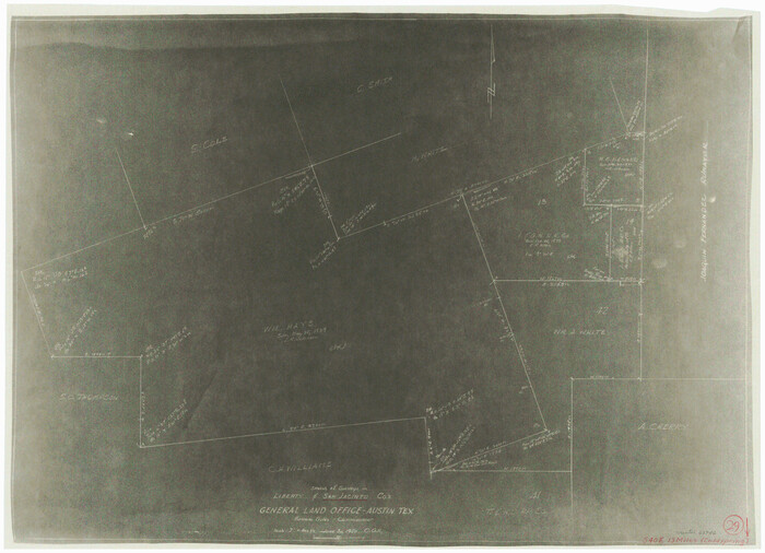
San Jacinto County Working Sketch 29
Print $20.00
- Digital $50.00
San Jacinto County Working Sketch 29
1950
Size 17.6 x 24.4 inches
Map/Doc 63742
Bee County Sketch File 1a

Print $12.00
- Digital $50.00
Bee County Sketch File 1a
1846
Size 9.8 x 6.5 inches
Map/Doc 14359
G. C. & S. F. Ry., San Saba Branch, Texas, Right of Way Map, Hall to Brady

Print $20.00
- Digital $50.00
G. C. & S. F. Ry., San Saba Branch, Texas, Right of Way Map, Hall to Brady
1916
Size 36.9 x 34.0 inches
Map/Doc 61419
Stonewall County Sketch File 31

Print $77.00
- Digital $50.00
Stonewall County Sketch File 31
2001
Size 11.3 x 8.9 inches
Map/Doc 37308
Kimble County Sketch File 1

Print $4.00
- Digital $50.00
Kimble County Sketch File 1
1854
Size 7.2 x 10.0 inches
Map/Doc 28907
Cameron County Rolled Sketch US2

Print $168.00
- Digital $50.00
Cameron County Rolled Sketch US2
1913
Size 10.4 x 16.3 inches
Map/Doc 43804
Blanco County Working Sketch 10

Print $20.00
- Digital $50.00
Blanco County Working Sketch 10
1938
Size 28.3 x 25.8 inches
Map/Doc 67370
Newton County Working Sketch 3

Print $20.00
- Digital $50.00
Newton County Working Sketch 3
1924
Size 18.2 x 20.6 inches
Map/Doc 71249
Limestone County Working Sketch 10

Print $20.00
- Digital $50.00
Limestone County Working Sketch 10
1922
Size 21.1 x 10.0 inches
Map/Doc 70560
East Portion of Matagorda Bay in Matagorda County, showing Subdivision for Mineral Development

Print $40.00
- Digital $50.00
East Portion of Matagorda Bay in Matagorda County, showing Subdivision for Mineral Development
1949
Size 30.8 x 51.1 inches
Map/Doc 1909
La Salle County Sketch File 7

Print $22.00
- Digital $50.00
La Salle County Sketch File 7
Size 8.0 x 12.3 inches
Map/Doc 29456
Hudspeth County Working Sketch 56

Print $20.00
- Digital $50.00
Hudspeth County Working Sketch 56
1992
Size 40.7 x 31.1 inches
Map/Doc 66341
You may also like
Austin, Texas - Congress Ave. Drainage

Print $20.00
- Digital $50.00
Austin, Texas - Congress Ave. Drainage
1905
Size 15.8 x 31.2 inches
Map/Doc 458
Sabine Bank to East Bay including Heald Bank

Print $20.00
- Digital $50.00
Sabine Bank to East Bay including Heald Bank
1982
Size 44.8 x 34.3 inches
Map/Doc 69852
Houston County Working Sketch 22

Print $20.00
- Digital $50.00
Houston County Working Sketch 22
1982
Size 31.2 x 44.1 inches
Map/Doc 66252
Flight Mission No. CLL-3N, Frame 16, Willacy County

Print $20.00
- Digital $50.00
Flight Mission No. CLL-3N, Frame 16, Willacy County
1954
Size 18.5 x 22.1 inches
Map/Doc 87082
Hemphill County Rolled Sketch 14

Print $20.00
- Digital $50.00
Hemphill County Rolled Sketch 14
1941
Size 45.0 x 22.2 inches
Map/Doc 9155
Subdivision Map of Fisher County School Land situated in Bailey and Cochran Counties, Texas

Print $20.00
- Digital $50.00
Subdivision Map of Fisher County School Land situated in Bailey and Cochran Counties, Texas
1924
Size 20.0 x 29.6 inches
Map/Doc 90243
Bowie County Working Sketch 15

Print $20.00
- Digital $50.00
Bowie County Working Sketch 15
1960
Size 34.5 x 25.8 inches
Map/Doc 67419
Bell County Working Sketch Graphic Index

Print $40.00
- Digital $50.00
Bell County Working Sketch Graphic Index
1945
Size 42.6 x 52.8 inches
Map/Doc 76465
Duval County Working Sketch 19

Print $20.00
- Digital $50.00
Duval County Working Sketch 19
1940
Size 21.7 x 18.5 inches
Map/Doc 68732
Flight Mission No. BRA-16M, Frame 102, Jefferson County

Print $20.00
- Digital $50.00
Flight Mission No. BRA-16M, Frame 102, Jefferson County
1953
Size 18.6 x 22.3 inches
Map/Doc 85714
Chambers County Rolled Sketch 24A

Print $40.00
- Digital $50.00
Chambers County Rolled Sketch 24A
1940
Size 36.5 x 49.0 inches
Map/Doc 8595
Parmer County Working Sketch 1

Print $20.00
- Digital $50.00
Parmer County Working Sketch 1
1903
Map/Doc 71469