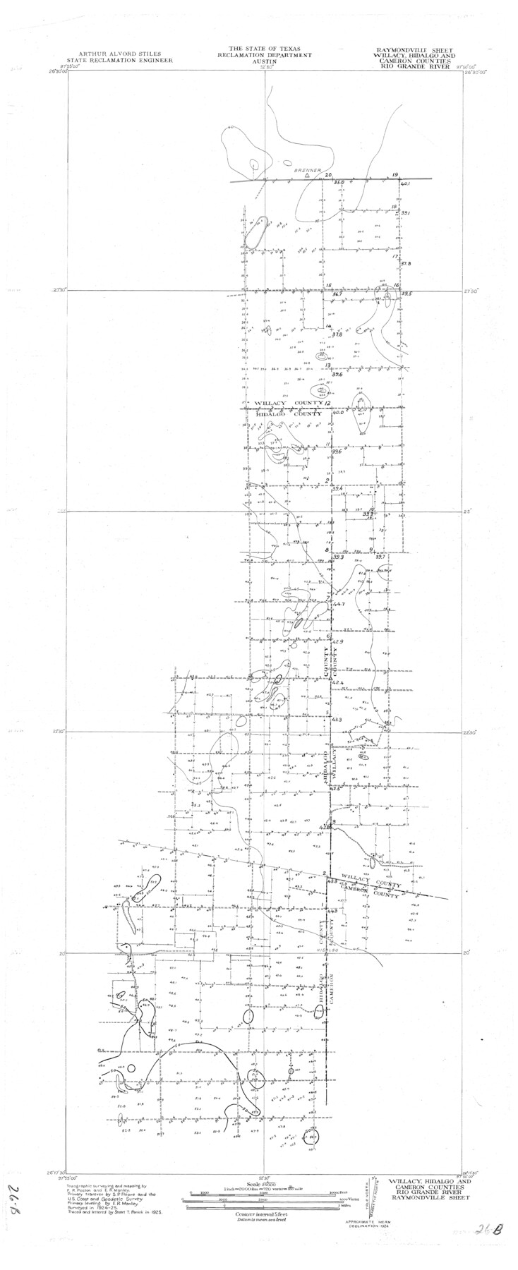
Rio Grande, Raymondville Sheet
-
Map/Doc
65127
-
Collection
General Map Collection
-
Object Dates
1925 (Creation Date)
-
People and Organizations
Texas State Reclamation Department (Publisher)
Stuart T. Penick (Draftsman)
Stuart T. Penick (Compiler)
F.R. Poston (Surveyor/Engineer)
E.R. Manley (Surveyor/Engineer)
S.P. Floore (Surveyor/Engineer)
-
Counties
Willacy Hidalgo Cameron
-
Subjects
River Surveys Topographic
-
Height x Width
43.7 x 17.8 inches
111.0 x 45.2 cm
Part of: General Map Collection
Culberson County Sketch File 16

Print $20.00
- Digital $50.00
Culberson County Sketch File 16
Size 27.0 x 38.1 inches
Map/Doc 11268
Denton County Boundary File 3

Print $34.00
- Digital $50.00
Denton County Boundary File 3
Size 6.1 x 3.9 inches
Map/Doc 52424
Randall County Rolled Sketch 10

Print $20.00
- Digital $50.00
Randall County Rolled Sketch 10
Size 26.9 x 22.6 inches
Map/Doc 7431
Flight Mission No. DQO-2K, Frame 146, Galveston County

Print $20.00
- Digital $50.00
Flight Mission No. DQO-2K, Frame 146, Galveston County
1952
Size 18.7 x 22.4 inches
Map/Doc 85043
Flight Mission No. CRC-4R, Frame 173, Chambers County

Print $20.00
- Digital $50.00
Flight Mission No. CRC-4R, Frame 173, Chambers County
1956
Size 18.7 x 22.3 inches
Map/Doc 84924
Flight Mission No. DCL-7C, Frame 119, Kenedy County

Print $20.00
- Digital $50.00
Flight Mission No. DCL-7C, Frame 119, Kenedy County
1943
Size 18.5 x 22.3 inches
Map/Doc 86084
Upton County Working Sketch 26

Print $20.00
- Digital $50.00
Upton County Working Sketch 26
1953
Size 29.5 x 17.6 inches
Map/Doc 69522
Marion County Working Sketch 31

Print $20.00
- Digital $50.00
Marion County Working Sketch 31
1981
Size 35.4 x 40.0 inches
Map/Doc 70807
Right of Way and Track Map, International & Gt. Northern Ry. Operated by the International & Gt. Northern Ry. Co. Gulf Division, Mineola Branch

Print $40.00
- Digital $50.00
Right of Way and Track Map, International & Gt. Northern Ry. Operated by the International & Gt. Northern Ry. Co. Gulf Division, Mineola Branch
1917
Size 25.5 x 116.7 inches
Map/Doc 64701
Travis County Working Sketch Graphic Index - south part

Print $40.00
- Digital $50.00
Travis County Working Sketch Graphic Index - south part
1936
Size 42.6 x 52.8 inches
Map/Doc 76716

Coast Chart No. 210 Aransas Pass and Corpus Christi Bay with the coast to latitude 27° 12' Texas

Print $20.00
- Digital $50.00
Coast Chart No. 210 Aransas Pass and Corpus Christi Bay with the coast to latitude 27° 12' Texas
1887
Size 27.6 x 18.2 inches
Map/Doc 72785
You may also like
Flight Mission No. DCL-3C, Frame 105, Kenedy County

Print $20.00
- Digital $50.00
Flight Mission No. DCL-3C, Frame 105, Kenedy County
1943
Size 18.6 x 22.2 inches
Map/Doc 85800
North America

Print $20.00
- Digital $50.00
North America
1823
Size 21.9 x 25.6 inches
Map/Doc 93842
Asher and Adams' Texas

Print $20.00
- Digital $50.00
Asher and Adams' Texas
1871
Size 25.4 x 18.5 inches
Map/Doc 93788
Flight Mission No. BQR-13K, Frame 116, Brazoria County

Print $20.00
- Digital $50.00
Flight Mission No. BQR-13K, Frame 116, Brazoria County
1952
Size 18.7 x 22.4 inches
Map/Doc 84077
Nueces County Sketch File 83

Print $63.00
- Digital $50.00
Nueces County Sketch File 83
1997
Size 11.1 x 8.5 inches
Map/Doc 43013
Montgomery County Rolled Sketch 42

Print $20.00
- Digital $50.00
Montgomery County Rolled Sketch 42
1939
Size 13.9 x 20.1 inches
Map/Doc 6819
Lamb County Sketch File 8

Print $6.00
- Digital $50.00
Lamb County Sketch File 8
1904
Size 8.5 x 7.6 inches
Map/Doc 29355

Mills County Sketch File 18A

Print $20.00
- Digital $50.00
Mills County Sketch File 18A
1913
Size 26.5 x 18.4 inches
Map/Doc 12093
Bexar County Working Sketch 19

Print $20.00
- Digital $50.00
Bexar County Working Sketch 19
1982
Size 41.8 x 41.7 inches
Map/Doc 67335
Map of lands in King County, Texas owned and leased by the Louisville Land and Cattle Company

Print $20.00
- Digital $50.00
Map of lands in King County, Texas owned and leased by the Louisville Land and Cattle Company
Size 29.1 x 25.1 inches
Map/Doc 717
Highway Map State of Texas

Print $20.00
Highway Map State of Texas
1919
Size 31.9 x 33.1 inches
Map/Doc 76291