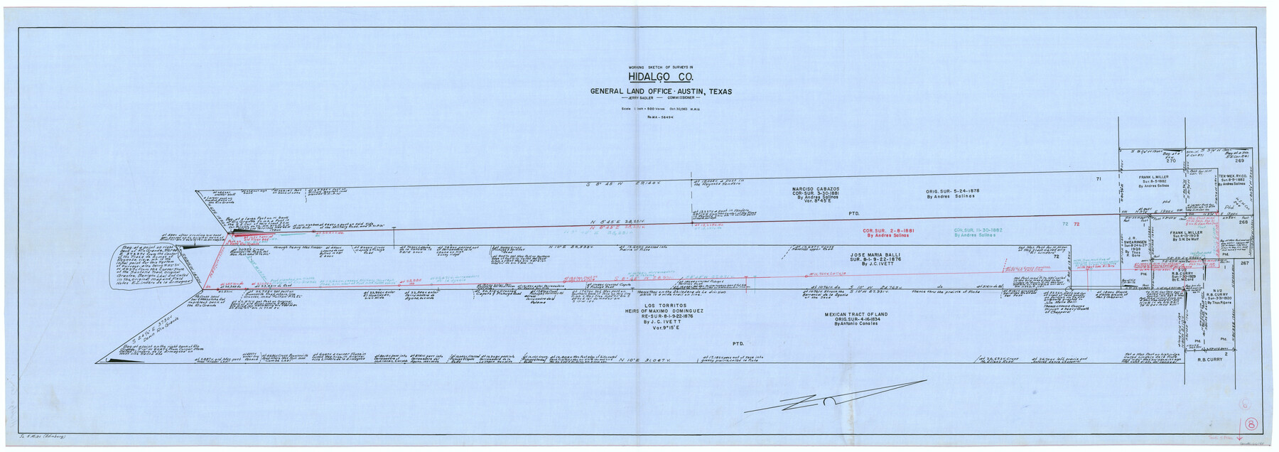
Hidalgo County Working Sketch 8
-
Map/Doc
66185
-
Collection
General Map Collection
-
Object Dates
10/30/1963 (Creation Date)
-
People and Organizations
Herbert H. Ulbricht (Draftsman)
-
Counties
Hidalgo
-
Subjects
Surveying Working Sketch
-
Height x Width
25.7 x 72.8 inches
65.3 x 184.9 cm
-
Scale
1" = 500 varas
Part of: General Map Collection
Texas City Channel, Texas, Channel and Turning Basin Dredging - Sheet 4

Print $20.00
- Digital $50.00
Texas City Channel, Texas, Channel and Turning Basin Dredging - Sheet 4
1958
Size 28.5 x 40.9 inches
Map/Doc 61834
El Paso County Rolled Sketch 33

Print $42.00
- Digital $50.00
El Paso County Rolled Sketch 33
Size 35.1 x 25.6 inches
Map/Doc 8867
Flight Mission No. BQR-7K, Frame 28, Brazoria County

Print $20.00
- Digital $50.00
Flight Mission No. BQR-7K, Frame 28, Brazoria County
1952
Size 18.5 x 22.2 inches
Map/Doc 84026
Right-of-Way and Track Map, Houston and Brazos Valley Ry. Co. operated by the Houston and Brazos Valley Ry. Co.

Print $40.00
- Digital $50.00
Right-of-Way and Track Map, Houston and Brazos Valley Ry. Co. operated by the Houston and Brazos Valley Ry. Co.
1918
Size 24.9 x 56.5 inches
Map/Doc 64607
Map of Travis County

Print $40.00
- Digital $50.00
Map of Travis County
1894
Size 49.8 x 58.8 inches
Map/Doc 16904
Hudspeth County Working Sketch 30

Print $40.00
- Digital $50.00
Hudspeth County Working Sketch 30
Size 80.4 x 36.0 inches
Map/Doc 66313
Bandera County Working Sketch 33

Print $20.00
- Digital $50.00
Bandera County Working Sketch 33
1961
Size 22.4 x 28.8 inches
Map/Doc 67629
Brewster County Working Sketch 99

Print $20.00
- Digital $50.00
Brewster County Working Sketch 99
1978
Size 19.4 x 21.9 inches
Map/Doc 67699
Flight Mission No. BQY-14M, Frame 183, Harris County

Print $20.00
- Digital $50.00
Flight Mission No. BQY-14M, Frame 183, Harris County
1953
Size 18.5 x 22.4 inches
Map/Doc 85299
Little River, Holtzclaw Bridge Sheet

Print $4.00
- Digital $50.00
Little River, Holtzclaw Bridge Sheet
1914
Size 19.7 x 28.8 inches
Map/Doc 65063
Ellis County Sketch File 18

Print $40.00
- Digital $50.00
Ellis County Sketch File 18
Size 16.0 x 12.8 inches
Map/Doc 21862
Sutton County Rolled Sketch 64

Print $20.00
- Digital $50.00
Sutton County Rolled Sketch 64
1975
Size 17.9 x 19.6 inches
Map/Doc 7899
You may also like
St. Louis Southwestern Railway of Texas

Print $20.00
- Digital $50.00
St. Louis Southwestern Railway of Texas
1906
Size 21.7 x 30.0 inches
Map/Doc 64452
Shelby County Sketch File 9

Print $4.00
- Digital $50.00
Shelby County Sketch File 9
1858
Size 9.4 x 8.2 inches
Map/Doc 36609
Starr County Rolled Sketch 10

Print $20.00
- Digital $50.00
Starr County Rolled Sketch 10
1912
Size 15.2 x 24.0 inches
Map/Doc 7797
Location Through GC&SFRRCo., Runnels County, Texas

Print $20.00
- Digital $50.00
Location Through GC&SFRRCo., Runnels County, Texas
1898
Size 21.5 x 32.8 inches
Map/Doc 64509
Freestone County Working Sketch 12

Print $40.00
- Digital $50.00
Freestone County Working Sketch 12
1980
Size 54.5 x 38.6 inches
Map/Doc 69254
Throckmorton County Working Sketch 6

Print $20.00
- Digital $50.00
Throckmorton County Working Sketch 6
1952
Size 24.7 x 21.7 inches
Map/Doc 62115
Hemphill County Rolled Sketch 11

Print $20.00
- Digital $50.00
Hemphill County Rolled Sketch 11
1941
Size 45.1 x 21.8 inches
Map/Doc 9153
Cameron County Rolled Sketch 17

Print $40.00
- Digital $50.00
Cameron County Rolled Sketch 17
1937
Size 49.1 x 37.9 inches
Map/Doc 8570
Fort Bend County Sketch File 18a

Print $42.00
- Digital $50.00
Fort Bend County Sketch File 18a
1890
Size 14.7 x 8.7 inches
Map/Doc 22940
[Sketch showing School Lands]
![90449, [Sketch showing School Lands], Twichell Survey Records](https://historictexasmaps.com/wmedia_w700/maps/90449-1.tif.jpg)
Print $20.00
- Digital $50.00
[Sketch showing School Lands]
Size 25.4 x 12.5 inches
Map/Doc 90449
Scurry County Sketch File 6

Print $14.00
- Digital $50.00
Scurry County Sketch File 6
2002
Size 11.2 x 8.7 inches
Map/Doc 76370
Northeast Part Pecos County

Print $20.00
- Digital $50.00
Northeast Part Pecos County
1975
Size 36.9 x 43.4 inches
Map/Doc 95611