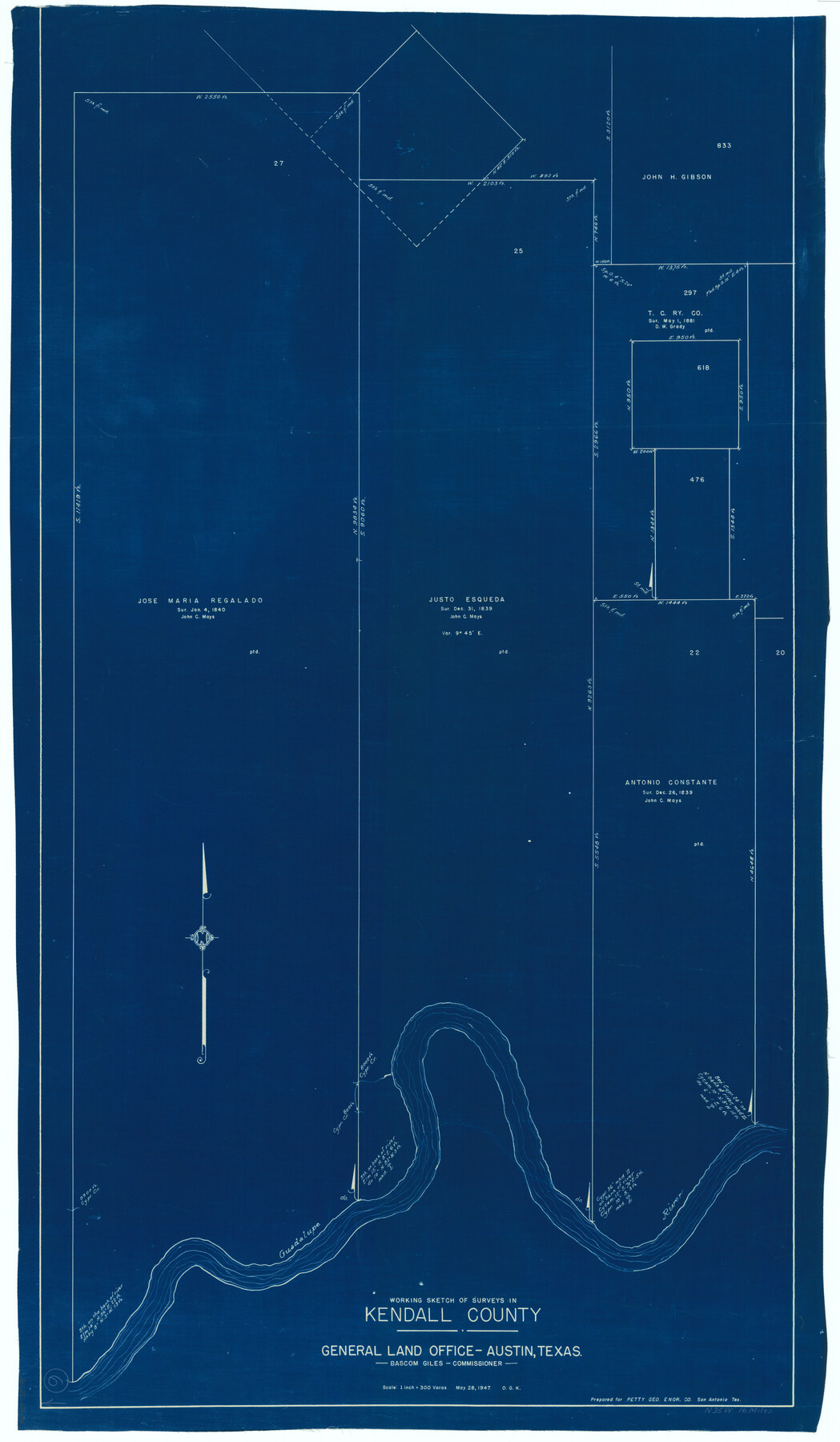
Kendall County Working Sketch 6
-
Map/Doc
66678
-
Collection
General Map Collection
-
Object Dates
5/28/1947 (Creation Date)
-
People and Organizations
Otto G. Kurio (Draftsman)
-
Counties
Kendall
-
Subjects
Surveying Working Sketch
-
Height x Width
42.6 x 24.8 inches
108.2 x 63.0 cm
-
Scale
1" = 300 varas
Part of: General Map Collection
Flight Mission No. DIX-7P, Frame 84, Aransas County

Print $20.00
- Digital $50.00
Flight Mission No. DIX-7P, Frame 84, Aransas County
1956
Size 18.8 x 22.8 inches
Map/Doc 83878
Map of the Western Part of Bexar District

Print $40.00
- Digital $50.00
Map of the Western Part of Bexar District
1849
Size 64.0 x 54.3 inches
Map/Doc 16944
[Right of Way & Track Map, The Texas & Pacific Ry. Co. Main Line]
![64682, [Right of Way & Track Map, The Texas & Pacific Ry. Co. Main Line], General Map Collection](https://historictexasmaps.com/wmedia_w700/maps/64682.tif.jpg)
Print $20.00
- Digital $50.00
[Right of Way & Track Map, The Texas & Pacific Ry. Co. Main Line]
Size 11.4 x 18.4 inches
Map/Doc 64682

Trinity County Rolled Sketch 5

Print $20.00
- Digital $50.00
Trinity County Rolled Sketch 5
1993
Size 25.3 x 38.0 inches
Map/Doc 8052
Stephens County Sketch File 19

Print $14.00
- Digital $50.00
Stephens County Sketch File 19
1919
Size 8.9 x 7.8 inches
Map/Doc 37077
Childress County Rolled Sketch 5

Print $20.00
- Digital $50.00
Childress County Rolled Sketch 5
1913
Size 31.2 x 24.7 inches
Map/Doc 5439
Map showing the environs of Brazos Islnd. Texas

Print $20.00
- Digital $50.00
Map showing the environs of Brazos Islnd. Texas
1864
Size 26.2 x 18.2 inches
Map/Doc 72914
Map of Located Land of Gulf, Colorado & Santa Fe Ry. Co. through Denton

Print $40.00
- Digital $50.00
Map of Located Land of Gulf, Colorado & Santa Fe Ry. Co. through Denton
Size 55.5 x 25.8 inches
Map/Doc 64341
Palo Pinto County Rolled Sketch 13

Print $20.00
- Digital $50.00
Palo Pinto County Rolled Sketch 13
1986
Size 29.0 x 32.2 inches
Map/Doc 7193
Motley County Sketch File B (S)

Print $40.00
- Digital $50.00
Motley County Sketch File B (S)
Size 14.2 x 12.4 inches
Map/Doc 32157
Gillespie County

Print $20.00
- Digital $50.00
Gillespie County
1918
Size 35.8 x 47.4 inches
Map/Doc 81950
You may also like
Brewster County Rolled Sketch 24F

Print $20.00
- Digital $50.00
Brewster County Rolled Sketch 24F
1910
Size 14.5 x 17.7 inches
Map/Doc 5213
Brown County Rolled Sketch 2C

Print $20.00
- Digital $50.00
Brown County Rolled Sketch 2C
1984
Size 26.7 x 24.6 inches
Map/Doc 5352
Hudspeth County Rolled Sketch 43A

Print $3.00
- Digital $50.00
Hudspeth County Rolled Sketch 43A
1958
Size 10.7 x 8.8 inches
Map/Doc 6252
Nueces County Rolled Sketch 67

Print $20.00
- Digital $50.00
Nueces County Rolled Sketch 67
1979
Size 25.4 x 36.9 inches
Map/Doc 6918
General Highway Map, Brown County, Texas

Print $20.00
General Highway Map, Brown County, Texas
1940
Size 25.0 x 18.4 inches
Map/Doc 79031
Garza County Sketch File 20

Print $20.00
- Digital $50.00
Garza County Sketch File 20
1905
Size 8.7 x 7.8 inches
Map/Doc 24068
San Patricio County Rolled Sketch 29A

Print $20.00
- Digital $50.00
San Patricio County Rolled Sketch 29A
1934
Size 37.7 x 45.7 inches
Map/Doc 9895
Webb County Rolled Sketch 41

Print $20.00
- Digital $50.00
Webb County Rolled Sketch 41
1941
Size 25.0 x 18.0 inches
Map/Doc 8196
Calhoun County Working Sketch 14

Print $20.00
- Digital $50.00
Calhoun County Working Sketch 14
1991
Size 28.7 x 33.9 inches
Map/Doc 67830
Leon County Working Sketch 44

Print $40.00
- Digital $50.00
Leon County Working Sketch 44
1980
Size 42.8 x 59.8 inches
Map/Doc 70443
Trinity County Sketch File 35

Print $34.00
- Digital $50.00
Trinity County Sketch File 35
1920
Size 8.3 x 9.1 inches
Map/Doc 38580
Jim Hogg Co. [and] Brooks Co.
![4756, Jim Hogg Co. [and] Brooks Co., General Map Collection](https://historictexasmaps.com/wmedia_w700/maps/4756-1.tif.jpg)
Print $20.00
- Digital $50.00
Jim Hogg Co. [and] Brooks Co.
1913
Size 31.8 x 41.8 inches
Map/Doc 4756