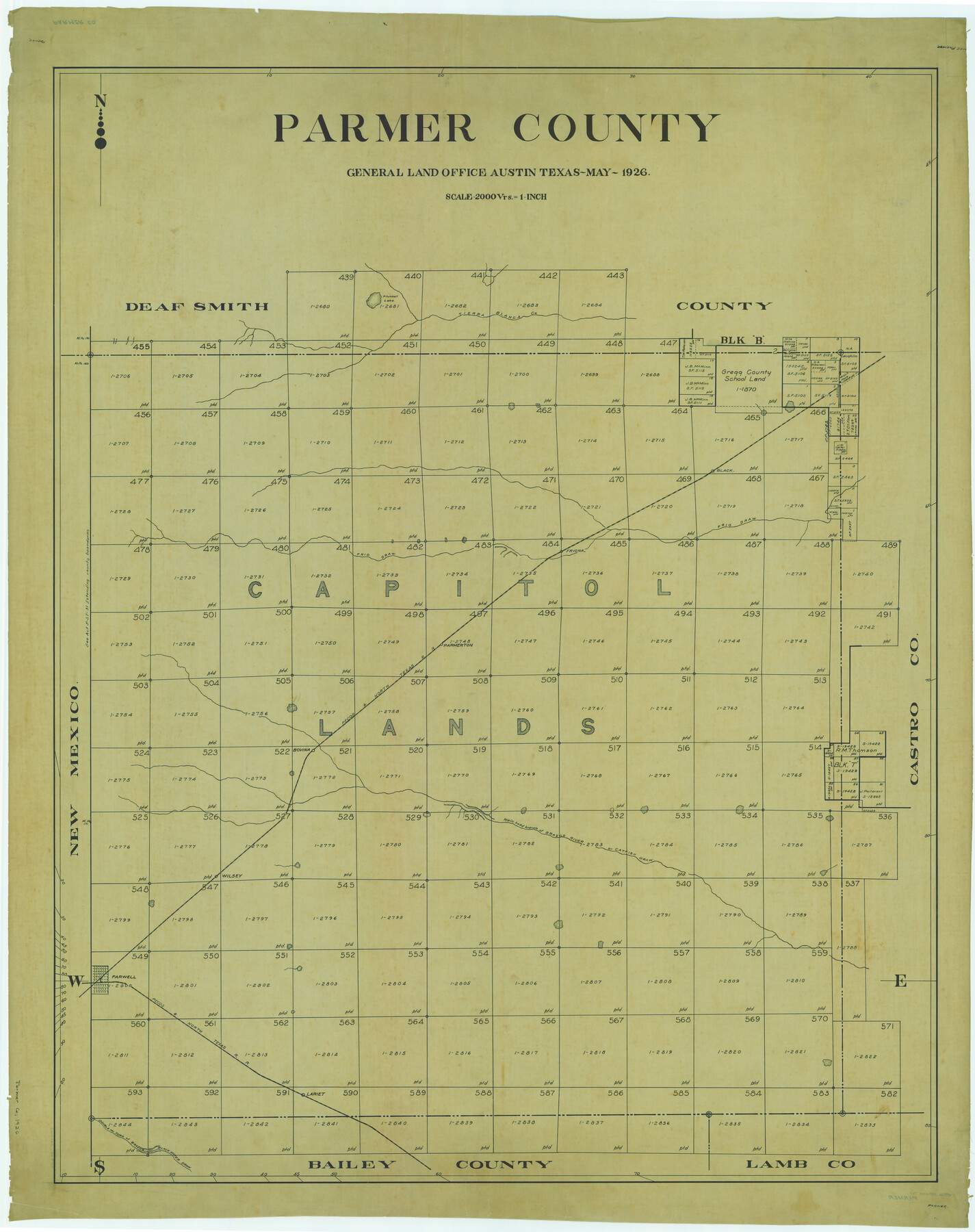
Parmer County
-
Map/Doc
66973
-
Collection
General Map Collection
-
Object Dates
1926 (Creation Date)
-
People and Organizations
Texas General Land Office (Publisher)
-
Counties
Parmer
-
Subjects
County
-
Height x Width
46.2 x 36.5 inches
117.3 x 92.7 cm
Part of: General Map Collection
Texas Coordinate File 1

Print $4.00
- Digital $50.00
Texas Coordinate File 1
Size 11.4 x 8.7 inches
Map/Doc 75301
Outer Continental Shelf Leasing Maps (Texas Offshore Operations)

Print $20.00
- Digital $50.00
Outer Continental Shelf Leasing Maps (Texas Offshore Operations)
Size 13.5 x 14.2 inches
Map/Doc 75843
Taylor County

Print $20.00
- Digital $50.00
Taylor County
1934
Size 44.4 x 38.9 inches
Map/Doc 73299
Flight Mission No. DCL-7C, Frame 39, Kenedy County

Print $20.00
- Digital $50.00
Flight Mission No. DCL-7C, Frame 39, Kenedy County
1943
Size 15.3 x 15.3 inches
Map/Doc 86027
Brown County Sketch File 32

Print $84.00
- Digital $50.00
Brown County Sketch File 32
2018
Size 11.0 x 8.5 inches
Map/Doc 95206
Harris County Working Sketch 55

Print $20.00
- Digital $50.00
Harris County Working Sketch 55
1950
Size 19.3 x 25.2 inches
Map/Doc 65947
Johnson County Boundary File 51a

Print $66.00
- Digital $50.00
Johnson County Boundary File 51a
Size 12.7 x 8.2 inches
Map/Doc 55604
Flight Mission No. DAG-18K, Frame 75, Matagorda County

Print $20.00
- Digital $50.00
Flight Mission No. DAG-18K, Frame 75, Matagorda County
1952
Size 18.5 x 19.1 inches
Map/Doc 86368

Map of the State of Texas [East Part]
![81920, Map of the State of Texas [East Part], General Map Collection](https://historictexasmaps.com/wmedia_w700/maps/81920.tif.jpg)
Print $40.00
- Digital $50.00
Map of the State of Texas [East Part]
1938
Size 67.8 x 37.3 inches
Map/Doc 81920
Crosby County Sketch File 21

Print $6.00
- Digital $50.00
Crosby County Sketch File 21
Size 13.8 x 8.8 inches
Map/Doc 20087
Dawson County Working Sketch 22

Print $20.00
- Digital $50.00
Dawson County Working Sketch 22
1989
Size 26.2 x 20.5 inches
Map/Doc 68566
You may also like
Intracoastal Waterway in Texas - Corpus Christi to Point Isabel including Arroyo Colorado to Mo. Pac. R.R. Bridge Near Harlingen

Print $20.00
- Digital $50.00
Intracoastal Waterway in Texas - Corpus Christi to Point Isabel including Arroyo Colorado to Mo. Pac. R.R. Bridge Near Harlingen
1933
Size 27.7 x 40.8 inches
Map/Doc 61867
Galveston County Working Sketch 11

Print $20.00
- Digital $50.00
Galveston County Working Sketch 11
1967
Size 17.6 x 16.4 inches
Map/Doc 69348

Blocks 5 and 6 Capitol Syndicate Subdivision of Capitol Land Reservation Leagues or Portions of Leagues Number 82, 81, 80, 100, 99, 98, 97, 103, 102, 101, 122, 121, 120, 119, 126, 125, 124, 123, 135, 134, 133, 139, 138, and 137

Print $20.00
- Digital $50.00
Blocks 5 and 6 Capitol Syndicate Subdivision of Capitol Land Reservation Leagues or Portions of Leagues Number 82, 81, 80, 100, 99, 98, 97, 103, 102, 101, 122, 121, 120, 119, 126, 125, 124, 123, 135, 134, 133, 139, 138, and 137
Size 24.1 x 35.5 inches
Map/Doc 92580
Henderson County Rolled Sketch 11

Print $20.00
- Digital $50.00
Henderson County Rolled Sketch 11
1915
Size 29.1 x 42.2 inches
Map/Doc 76150
Fort Bend County State Real Property Sketch 8

Print $40.00
- Digital $50.00
Fort Bend County State Real Property Sketch 8
1985
Size 35.0 x 43.6 inches
Map/Doc 61682
Map of Brazos County, Texas

Print $40.00
- Digital $50.00
Map of Brazos County, Texas
1926
Size 89.6 x 55.1 inches
Map/Doc 93648
Uvalde County Working Sketch 66

Print $20.00
- Digital $50.00
Uvalde County Working Sketch 66
1942
Size 20.9 x 21.3 inches
Map/Doc 75968
Navigation Maps of Gulf Intracoastal Waterway, Port Arthur to Brownsville, Texas

Print $4.00
- Digital $50.00
Navigation Maps of Gulf Intracoastal Waterway, Port Arthur to Brownsville, Texas
1951
Size 16.8 x 21.3 inches
Map/Doc 65450
Map of Shelby District

Print $20.00
- Digital $50.00
Map of Shelby District
1847
Size 17.1 x 25.4 inches
Map/Doc 4033
Flight Mission No. DIX-3P, Frame 171, Aransas County

Print $20.00
- Digital $50.00
Flight Mission No. DIX-3P, Frame 171, Aransas County
1956
Size 17.6 x 18.2 inches
Map/Doc 83777
[Surveying Sketch of J.H. Vermillion, S.L. Fite, et al in Zapata County]
![698, [Surveying Sketch of J.H. Vermillion, S.L. Fite, et al in Zapata County], Maddox Collection](https://historictexasmaps.com/wmedia_w700/maps/0698.tif.jpg)
Print $20.00
- Digital $50.00
[Surveying Sketch of J.H. Vermillion, S.L. Fite, et al in Zapata County]
1914
Size 15.6 x 12.1 inches
Map/Doc 698