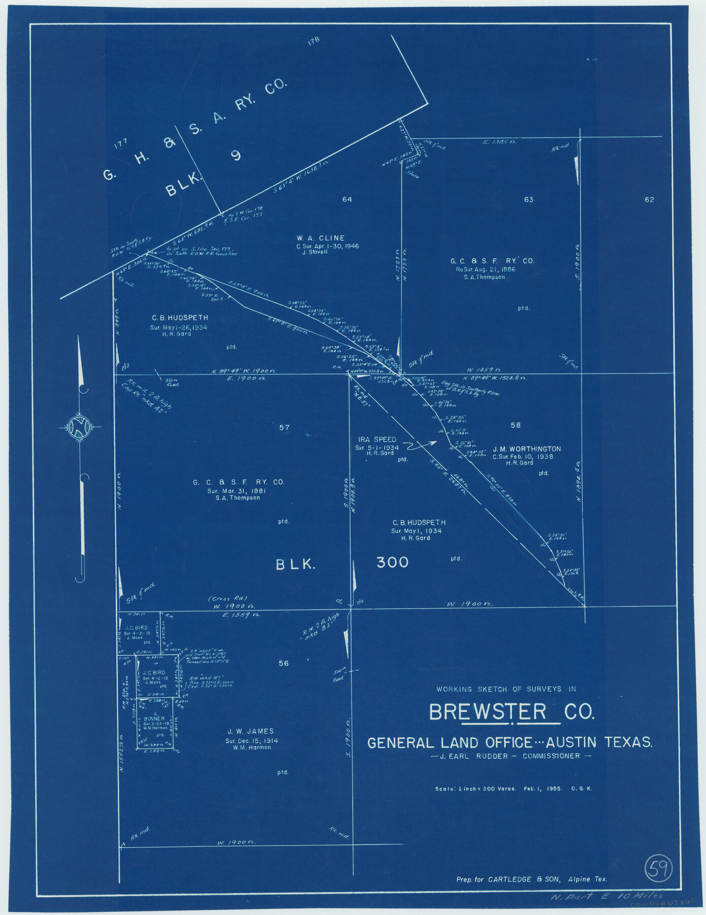
Brewster County Working Sketch 59
- 
                          Map/Doc67660
- 
                            CollectionGeneral Map Collection
- 
                            Object Dates2/1/1955 (Creation Date)
- 
                            People and OrganizationsOtto G. Kurio (Draftsman)
- 
                            CountiesBrewster
- 
                            SubjectsSurveying Working Sketch
- 
                            Height x Width24.6 x 19.0 inches62.5 x 48.3 cm
- 
                            Scale1" = 300 varas
Part of: General Map Collection
            Kent County Sketch File 10a


                                            Print $4.00                    
                                             -                         Digital $50.00                                    
                Kent County Sketch File 10a
Size 5.9 x 12.0 inches
                                Map/Doc 28836
            
            Lee County Sketch File 7


                                            Print $36.00                    
                                             -                         Digital $50.00                                    
                Lee County Sketch File 7
1838
Size 3.6 x 3.5 inches
                                Map/Doc 29688
            
            Gray County Boundary File 2


                                            Print $8.00                    
                                             -                         Digital $50.00                                    
                Gray County Boundary File 2
Size 14.2 x 8.6 inches
                                Map/Doc 53850
            
            Flight Mission No. BQY-4M, Frame 62, Harris County


                                            Print $20.00                    
                                             -                         Digital $50.00                                    
                Flight Mission No. BQY-4M, Frame 62, Harris County
1953
Size 18.7 x 22.5 inches
                                Map/Doc 85271
            
            [Sketch for Mineral Application 1112 - Colorado River, H. E. Chambers]
            
                                    ![65638, [Sketch for Mineral Application 1112 - Colorado River, H. E. Chambers], General Map Collection](https://historictexasmaps.com/wmedia_w700/maps/65638.tif.jpg) 


    ![65638, [Sketch for Mineral Application 1112 - Colorado River, H. E. Chambers], General Map Collection](https://historictexasmaps.com/wmedia_w700/maps/65638.tif.jpg) 
                                
            
                                            Print $20.00                    
                                             -                         Digital $50.00                                    
                [Sketch for Mineral Application 1112 - Colorado River, H. E. Chambers]
1918
Size 17.5 x 28.2 inches
                                Map/Doc 65638
            
            Young County Working Sketch 21


                                            Print $20.00                    
                                             -                         Digital $50.00                                    
                Young County Working Sketch 21
1964
Size 42.2 x 31.2 inches
                                Map/Doc 62044
            
            Flight Mission No. BRA-7M, Frame 14, Jefferson County


                                            Print $20.00                    
                                             -                         Digital $50.00                                    
                Flight Mission No. BRA-7M, Frame 14, Jefferson County
1953
Size 18.6 x 22.3 inches
                                Map/Doc 85465
            
            Tarrant County Working Sketch 25


                                            Print $20.00                    
                                             -                         Digital $50.00                                    
                Tarrant County Working Sketch 25
2004
Size 27.3 x 38.0 inches
                                Map/Doc 83585
            
            Polk County Sketch File 2a


                                            Print $4.00                    
                                             -                         Digital $50.00                                    
                Polk County Sketch File 2a
1863
Size 12.2 x 8.1 inches
                                Map/Doc 34120
            
            [Maps of surveys in Reeves & Culberson Cos]
            
                                    ![61133, [Maps of surveys in Reeves & Culberson Cos], General Map Collection](https://historictexasmaps.com/wmedia_w700/maps/61133.tif.jpg) 


    ![61133, [Maps of surveys in Reeves & Culberson Cos], General Map Collection](https://historictexasmaps.com/wmedia_w700/maps/61133.tif.jpg) 
                                
            
                                            Print $20.00                    
                                             -                         Digital $50.00                                    
                [Maps of surveys in Reeves & Culberson Cos]
1937
Size 30.7 x 24.8 inches
                                Map/Doc 61133
            
            Cochran County


                                            Print $20.00                    
                                             -                         Digital $50.00                                    
                Cochran County
1913
Size 28.9 x 20.8 inches
                                Map/Doc 66756
            
            Pecos County Sketch File 22


                                            Print $20.00                    
                                             -                         Digital $50.00                                    
                Pecos County Sketch File 22
1886
Size 14.0 x 8.8 inches
                                Map/Doc 33670
            You may also like
            Exhibit E, Robert Violette M. A. 34719, Gaines County, Texas


                                            Print $40.00                    
                                             -                         Digital $50.00                                    
                Exhibit E, Robert Violette M. A. 34719, Gaines County, Texas
Size 85.9 x 24.3 inches
                                Map/Doc 93134
            
            Cochran County Sketch [showing lines run by C. A. Tubbs]
            
                                    ![90435, Cochran County Sketch [showing lines run by C. A. Tubbs], Twichell Survey Records](https://historictexasmaps.com/wmedia_w700/maps/90435-1.tif.jpg) 


    ![90435, Cochran County Sketch [showing lines run by C. A. Tubbs], Twichell Survey Records](https://historictexasmaps.com/wmedia_w700/maps/90435-1.tif.jpg) 
                                
            
                                            Print $20.00                    
                                             -                         Digital $50.00                                    
                Cochran County Sketch [showing lines run by C. A. Tubbs]
Size 10.0 x 23.8 inches
                                Map/Doc 90435
            
            Rio Grande Rectification Project, El Paso and Juarez Valley


                                            Print $2.00                    
                                             -                         Digital $50.00                                    
                Rio Grande Rectification Project, El Paso and Juarez Valley
1935
Size 10.8 x 8.2 inches
                                Map/Doc 60873
            
            Robertson V Ranch


                                            Print $20.00                    
                                             -                         Digital $50.00                                    
                Robertson V Ranch
Size 41.7 x 46.0 inches
                                Map/Doc 89756
            
            [T. & P. RR. Co. Blocks 31-36, Townships 3N, 4N and 5N and surrounding area]
            
                                    ![93135, [T. & P. RR. Co. Blocks 31-36, Townships 3N, 4N and 5N and surrounding area], Twichell Survey Records](https://historictexasmaps.com/wmedia_w700/maps/93135-1.tif.jpg) 


    ![93135, [T. & P. RR. Co. Blocks 31-36, Townships 3N, 4N and 5N and surrounding area], Twichell Survey Records](https://historictexasmaps.com/wmedia_w700/maps/93135-1.tif.jpg) 
                                
            
                                            Print $40.00                    
                                             -                         Digital $50.00                                    
                [T. & P. RR. Co. Blocks 31-36, Townships 3N, 4N and 5N and surrounding area]
Size 51.3 x 51.5 inches
                                Map/Doc 93135
            
            Cass County Rolled Sketch 7


                                            Print $20.00                    
                                             -                         Digital $50.00                                    
                Cass County Rolled Sketch 7
1957
Size 28.3 x 33.5 inches
                                Map/Doc 5413
            
            [Map of Denton County]
            
                                    ![4529, [Map of Denton County], General Map Collection](https://historictexasmaps.com/wmedia_w700/maps/4529-1.tif.jpg) 


    ![4529, [Map of Denton County], General Map Collection](https://historictexasmaps.com/wmedia_w700/maps/4529-1.tif.jpg) 
                                
            
                                            Print $20.00                    
                                             -                         Digital $50.00                                    
                [Map of Denton County]
1853
Size 24.5 x 29.1 inches
                                Map/Doc 4529
            
            Nolan County Rolled Sketch W


                                            Print $20.00                    
                                             -                         Digital $50.00                                    
                Nolan County Rolled Sketch W
1902
Size 16.5 x 38.0 inches
                                Map/Doc 6863
            
            Taylor County, Texas


                                            Print $20.00                    
                                             -                         Digital $50.00                                    
                Taylor County, Texas
1890
Size 28.7 x 21.6 inches
                                Map/Doc 574
            
            General Highway Map, Cass County, Texas


                                            Print $20.00                    
                                    
                General Highway Map, Cass County, Texas
1940
Size 18.6 x 25.2 inches
                                Map/Doc 79042
             
                         
                                