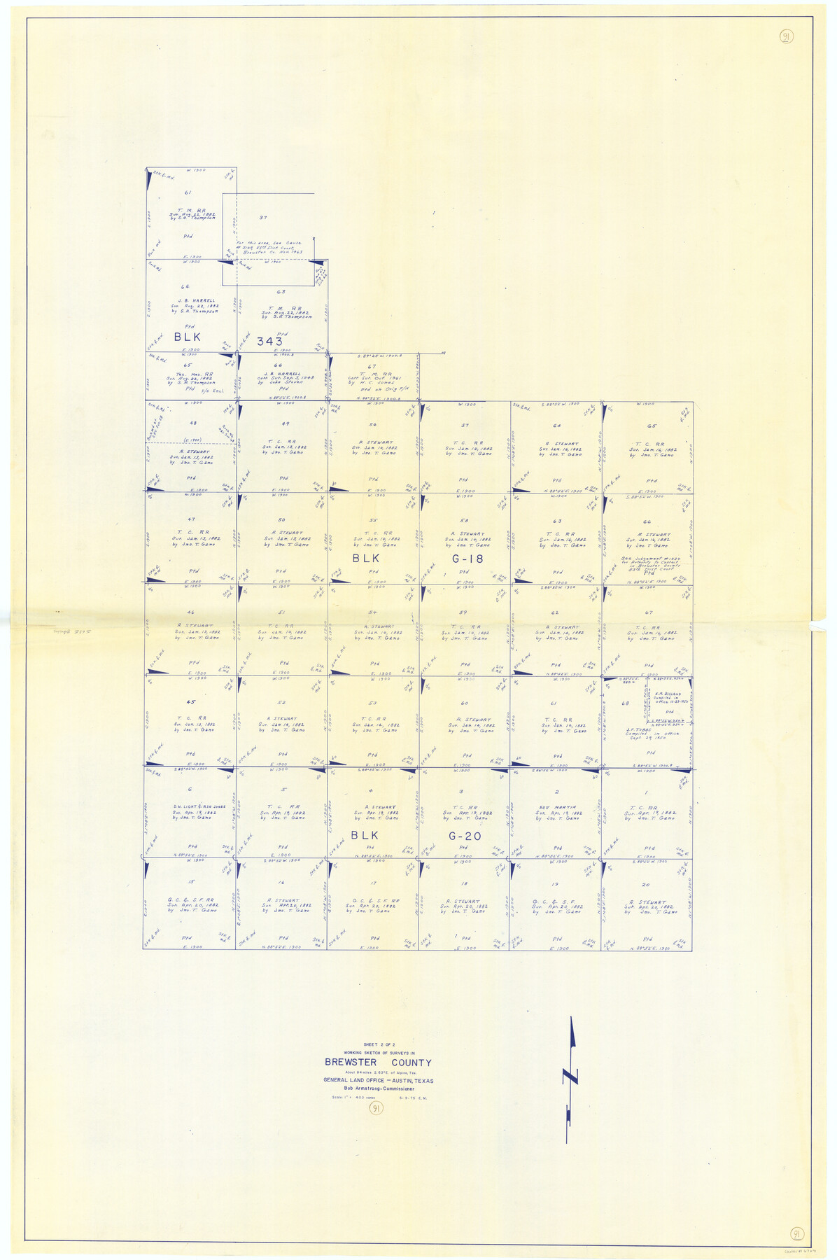
Brewster County Working Sketch 91
-
Map/Doc
67691
-
Collection
General Map Collection
-
Object Dates
5/9/1975 (Creation Date)
-
Counties
Brewster
-
Subjects
Surveying Working Sketch
-
Height x Width
65.7 x 43.6 inches
166.9 x 110.7 cm
-
Scale
1" = 400 varas
Part of: General Map Collection
Childress County

Print $20.00
- Digital $50.00
Childress County
1921
Size 43.4 x 32.3 inches
Map/Doc 1800
Deaf Smith County Working Sketch 3

Print $40.00
- Digital $50.00
Deaf Smith County Working Sketch 3
1951
Size 61.4 x 22.3 inches
Map/Doc 68643
Edwards County Working Sketch 68

Print $20.00
- Digital $50.00
Edwards County Working Sketch 68
1957
Size 28.7 x 26.8 inches
Map/Doc 68944
McMullen County

Print $40.00
- Digital $50.00
McMullen County
1967
Size 49.7 x 34.8 inches
Map/Doc 73236
Fractional Township No. 8 South Range No. 13 East of the Indian Meridian, Indian Territory

Print $20.00
- Digital $50.00
Fractional Township No. 8 South Range No. 13 East of the Indian Meridian, Indian Territory
1896
Size 19.1 x 24.3 inches
Map/Doc 75224
McCulloch County Rolled Sketch 7

Print $20.00
- Digital $50.00
McCulloch County Rolled Sketch 7
1982
Size 20.7 x 30.5 inches
Map/Doc 6718
Mason County Sketch File 5

Print $20.00
- Digital $50.00
Mason County Sketch File 5
1875
Size 15.8 x 12.9 inches
Map/Doc 12033
Hidalgo County Working Sketch 8

Print $40.00
- Digital $50.00
Hidalgo County Working Sketch 8
1963
Size 25.7 x 72.8 inches
Map/Doc 66185
[Surveys in the Bexar District along the San Antonio River showing the position of the missions]
![125, [Surveys in the Bexar District along the San Antonio River showing the position of the missions], General Map Collection](https://historictexasmaps.com/wmedia_w700/maps/125.tif.jpg)
Print $3.00
- Digital $50.00
[Surveys in the Bexar District along the San Antonio River showing the position of the missions]
1841
Size 11.2 x 16.0 inches
Map/Doc 125
Webb County Working Sketch 81

Print $40.00
- Digital $50.00
Webb County Working Sketch 81
1979
Size 69.0 x 43.6 inches
Map/Doc 72448
Jeff Davis County Working Sketch 14

Print $20.00
- Digital $50.00
Jeff Davis County Working Sketch 14
1949
Size 21.5 x 25.8 inches
Map/Doc 66509
Pecos County Rolled Sketch DK5

Print $20.00
- Digital $50.00
Pecos County Rolled Sketch DK5
Size 24.3 x 16.8 inches
Map/Doc 7310
You may also like
Portion of Culberson County, Texas

Print $20.00
- Digital $50.00
Portion of Culberson County, Texas
1948
Size 30.9 x 33.0 inches
Map/Doc 92556
Clay County Sketch File 22

Print $6.00
- Digital $50.00
Clay County Sketch File 22
Size 12.8 x 8.3 inches
Map/Doc 18436
Zavala County Working Sketch 9

Print $20.00
- Digital $50.00
Zavala County Working Sketch 9
1951
Size 42.0 x 36.4 inches
Map/Doc 62084
Galveston County Sketch File 31

Print $20.00
- Digital $50.00
Galveston County Sketch File 31
1916
Size 23.7 x 13.6 inches
Map/Doc 11534
Lamb County Sketch File 18

Print $4.00
- Digital $50.00
Lamb County Sketch File 18
1979
Size 14.3 x 8.9 inches
Map/Doc 29381
Flight Mission No. CRK-3P, Frame 175, Refugio County

Print $20.00
- Digital $50.00
Flight Mission No. CRK-3P, Frame 175, Refugio County
1956
Size 18.6 x 21.7 inches
Map/Doc 86922
Railroad Track Map, H&TCRRCo., Falls County, Texas

Print $4.00
- Digital $50.00
Railroad Track Map, H&TCRRCo., Falls County, Texas
1918
Size 11.7 x 18.7 inches
Map/Doc 62845
Medina County Rolled Sketch 15

Print $20.00
- Digital $50.00
Medina County Rolled Sketch 15
1980
Size 25.2 x 20.3 inches
Map/Doc 6749
United States - Gulf Coast - Padre I. and Laguna Madre Lat. 27° 12' to Lat. 26° 33' Texas

Print $20.00
- Digital $50.00
United States - Gulf Coast - Padre I. and Laguna Madre Lat. 27° 12' to Lat. 26° 33' Texas
1913
Size 27.1 x 18.3 inches
Map/Doc 72816
Jack County Sketch File 3

Print $6.00
- Digital $50.00
Jack County Sketch File 3
1857
Size 10.6 x 16.5 inches
Map/Doc 27504
East Part of Anderson County

Print $40.00
- Digital $50.00
East Part of Anderson County
1942
Size 52.0 x 42.3 inches
Map/Doc 77198
Kleberg County Rolled Sketch 10-17

Print $20.00
- Digital $50.00
Kleberg County Rolled Sketch 10-17
1951
Size 38.1 x 32.0 inches
Map/Doc 9390