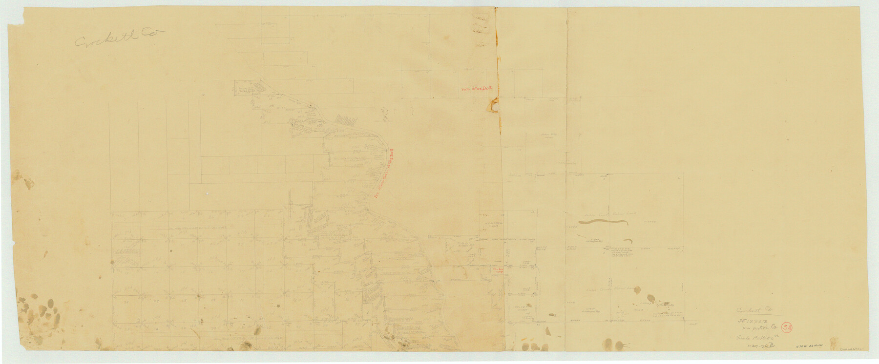
Crockett County Working Sketch 34
-
Map/Doc
68367
-
Collection
General Map Collection
-
Object Dates
1/27/1926 (Creation Date)
-
Counties
Crockett
-
Subjects
Surveying Working Sketch
-
Height x Width
24.7 x 59.5 inches
62.7 x 151.1 cm
-
Scale
1" = 1000 varas
Part of: General Map Collection
Nacogdoches County Working Sketch 11

Print $20.00
- Digital $50.00
Nacogdoches County Working Sketch 11
1985
Size 41.1 x 28.0 inches
Map/Doc 71227
Calhoun County Rolled Sketch 29B

Print $20.00
- Digital $50.00
Calhoun County Rolled Sketch 29B
Size 43.4 x 45.0 inches
Map/Doc 8558
Coke County Rolled Sketch 31

Print $20.00
- Digital $50.00
Coke County Rolled Sketch 31
1982
Size 13.3 x 30.2 inches
Map/Doc 5526
Dimmit County Working Sketch 55

Print $20.00
- Digital $50.00
Dimmit County Working Sketch 55
1996
Size 33.7 x 34.3 inches
Map/Doc 68716
Upshur County Sketch File 3a

Print $2.00
- Digital $50.00
Upshur County Sketch File 3a
Size 6.5 x 7.1 inches
Map/Doc 38736
Hutchinson County Sketch File 53

Print $2.00
- Digital $50.00
Hutchinson County Sketch File 53
2000
Size 11.2 x 8.8 inches
Map/Doc 27455
Cochran County Rolled Sketch 1

Print $40.00
- Digital $50.00
Cochran County Rolled Sketch 1
1938
Size 61.8 x 18.0 inches
Map/Doc 8606
Flight Mission No. DAH-17M, Frame 25, Orange County

Print $20.00
- Digital $50.00
Flight Mission No. DAH-17M, Frame 25, Orange County
1953
Size 18.7 x 22.3 inches
Map/Doc 86888
Jeff Davis County Sketch File 27

Print $20.00
- Digital $50.00
Jeff Davis County Sketch File 27
1915
Size 18.8 x 25.5 inches
Map/Doc 11862
Flight Mission No. DCL-4C, Frame 95, Kenedy County

Print $20.00
- Digital $50.00
Flight Mission No. DCL-4C, Frame 95, Kenedy County
1943
Size 18.7 x 22.3 inches
Map/Doc 85816
Hudspeth County Working Sketch 16

Print $40.00
- Digital $50.00
Hudspeth County Working Sketch 16
Size 22.2 x 56.6 inches
Map/Doc 69649
Gulf Coast of the United States, Key West to Rio Grande

Print $20.00
- Digital $50.00
Gulf Coast of the United States, Key West to Rio Grande
1863
Size 27.5 x 18.3 inches
Map/Doc 72664
You may also like

Harrison County Working Sketch 13

Print $20.00
- Digital $50.00
Harrison County Working Sketch 13
1961
Size 32.4 x 37.0 inches
Map/Doc 66033
Harrison County Working Sketch 6

Print $20.00
- Digital $50.00
Harrison County Working Sketch 6
1954
Size 27.6 x 38.7 inches
Map/Doc 66026
Harris County Working Sketch 10

Print $20.00
- Digital $50.00
Harris County Working Sketch 10
1912
Size 25.7 x 18.1 inches
Map/Doc 65902
Culberson County Sketch File 39

Print $12.00
- Digital $50.00
Culberson County Sketch File 39
1968
Size 11.2 x 8.7 inches
Map/Doc 20306
Culberson County Working Sketch 32

Print $20.00
- Digital $50.00
Culberson County Working Sketch 32
1958
Size 45.3 x 38.0 inches
Map/Doc 68485
Hutchinson County Rolled Sketch 44-7

Print $20.00
- Digital $50.00
Hutchinson County Rolled Sketch 44-7
2002
Size 24.0 x 36.0 inches
Map/Doc 77543
Denton County Rolled Sketch 6

Print $20.00
- Digital $50.00
Denton County Rolled Sketch 6
1983
Size 25.4 x 37.2 inches
Map/Doc 5702
Erath County Working Sketch 47

Print $20.00
- Digital $50.00
Erath County Working Sketch 47
1984
Size 16.3 x 18.3 inches
Map/Doc 69128
Midland County Rolled Sketch 1

Print $20.00
- Digital $50.00
Midland County Rolled Sketch 1
1940
Size 32.9 x 35.0 inches
Map/Doc 9512
La Salle County Working Sketch 41

Print $20.00
- Digital $50.00
La Salle County Working Sketch 41
1969
Size 29.4 x 26.9 inches
Map/Doc 70342
San Jacinto County Sketch File 11

Print $4.00
San Jacinto County Sketch File 11
1859
Size 9.4 x 7.3 inches
Map/Doc 35718