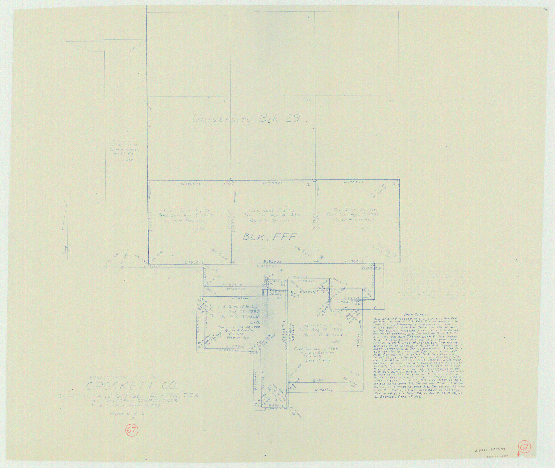
Crockett County Working Sketch 67
-
Map/Doc
68400
-
Collection
General Map Collection
-
Object Dates
3/30/1959 (Creation Date)
-
People and Organizations
Roy Buckholts (Draftsman)
-
Counties
Crockett
-
Subjects
Surveying Working Sketch
-
Height x Width
26.5 x 31.5 inches
67.3 x 80.0 cm
-
Scale
1" = 400 varas
Part of: General Map Collection
Edwards County Sketch File A1

Print $6.00
- Digital $50.00
Edwards County Sketch File A1
Size 8.5 x 8.8 inches
Map/Doc 21659
Howard County Rolled Sketch 12A

Print $20.00
- Digital $50.00
Howard County Rolled Sketch 12A
1948
Size 23.3 x 13.9 inches
Map/Doc 6244
Erath County Working Sketch 47

Print $20.00
- Digital $50.00
Erath County Working Sketch 47
1984
Size 16.3 x 18.3 inches
Map/Doc 69128
Lynn County Rolled Sketch 16

Print $20.00
- Digital $50.00
Lynn County Rolled Sketch 16
1991
Size 18.3 x 42.3 inches
Map/Doc 6652

Presidio County Rolled Sketch 105

Print $40.00
- Digital $50.00
Presidio County Rolled Sketch 105
Size 67.7 x 42.9 inches
Map/Doc 76180

Map of Fort Bend County

Print $20.00
- Digital $50.00
Map of Fort Bend County
1839
Size 19.0 x 26.9 inches
Map/Doc 3549
Mitchell County Boundary File 66c

Print $19.00
- Digital $50.00
Mitchell County Boundary File 66c
Size 12.7 x 8.3 inches
Map/Doc 57390
Nueces County Rolled Sketch 66

Print $46.00
- Digital $50.00
Nueces County Rolled Sketch 66
1979
Size 26.1 x 37.4 inches
Map/Doc 9608
Val Verde County Working Sketch 89

Print $20.00
- Digital $50.00
Val Verde County Working Sketch 89
1974
Size 24.5 x 29.0 inches
Map/Doc 72224
Map of Presidio County

Print $40.00
- Digital $50.00
Map of Presidio County
1895
Size 53.0 x 38.6 inches
Map/Doc 3968
You may also like
Jarrott Ranch Yeso, New Mexico

Print $20.00
- Digital $50.00
Jarrott Ranch Yeso, New Mexico
Size 26.3 x 19.8 inches
Map/Doc 92423
Austin County Boundary File 5a

Print $6.00
- Digital $50.00
Austin County Boundary File 5a
Size 14.1 x 8.7 inches
Map/Doc 50252
Henderson County Rolled Sketch 11

Print $20.00
- Digital $50.00
Henderson County Rolled Sketch 11
1915
Size 29.3 x 42.6 inches
Map/Doc 75952
Flight Mission No. BRE-1P, Frame 127, Nueces County

Print $20.00
- Digital $50.00
Flight Mission No. BRE-1P, Frame 127, Nueces County
1956
Size 18.7 x 22.6 inches
Map/Doc 86693
Upshur County Sketch File 11

Print $22.00
- Digital $50.00
Upshur County Sketch File 11
Size 8.4 x 10.4 inches
Map/Doc 38750
Rusk County Sketch File 37

Print $20.00
Rusk County Sketch File 37
1951
Size 23.3 x 26.2 inches
Map/Doc 12275
[Sketch Showing Blocks O18, P Mc, B10 and B11]
![93105, [Sketch Showing Blocks O18, P Mc, B10 and B11], Twichell Survey Records](https://historictexasmaps.com/wmedia_w700/maps/93105-1.tif.jpg)
Print $3.00
- Digital $50.00
[Sketch Showing Blocks O18, P Mc, B10 and B11]
Size 11.1 x 11.1 inches
Map/Doc 93105
Kaufman County Sketch File 18

Print $10.00
- Digital $50.00
Kaufman County Sketch File 18
1936
Size 11.4 x 8.8 inches
Map/Doc 28661
General Highway Map, Shelby County, Texas

Print $20.00
General Highway Map, Shelby County, Texas
1940
Size 18.3 x 24.8 inches
Map/Doc 79242
[Location Survey of the Southern Kansas Railway, Kiowa Extension from a point in Drake's Location, in Indian Territory 100 miles from south line of Kansas, continuing up Wolf Creek and South Canadian River to Cottonwood Creek in Hutchinson County]
![88844, [Location Survey of the Southern Kansas Railway, Kiowa Extension from a point in Drake's Location, in Indian Territory 100 miles from south line of Kansas, continuing up Wolf Creek and South Canadian River to Cottonwood Creek in Hutchinson County], General Map Collection](https://historictexasmaps.com/wmedia_w700/maps/88844.tif.jpg)
Print $20.00
- Digital $50.00
[Location Survey of the Southern Kansas Railway, Kiowa Extension from a point in Drake's Location, in Indian Territory 100 miles from south line of Kansas, continuing up Wolf Creek and South Canadian River to Cottonwood Creek in Hutchinson County]
1886
Size 39.0 x 40.0 inches
Map/Doc 88844
Flight Mission No. CRC-5R, Frame 17, Chambers County

Print $20.00
- Digital $50.00
Flight Mission No. CRC-5R, Frame 17, Chambers County
1956
Size 18.8 x 22.5 inches
Map/Doc 84939
Red River County Working Sketch 28

Print $20.00
- Digital $50.00
Red River County Working Sketch 28
1961
Size 28.1 x 38.7 inches
Map/Doc 72011