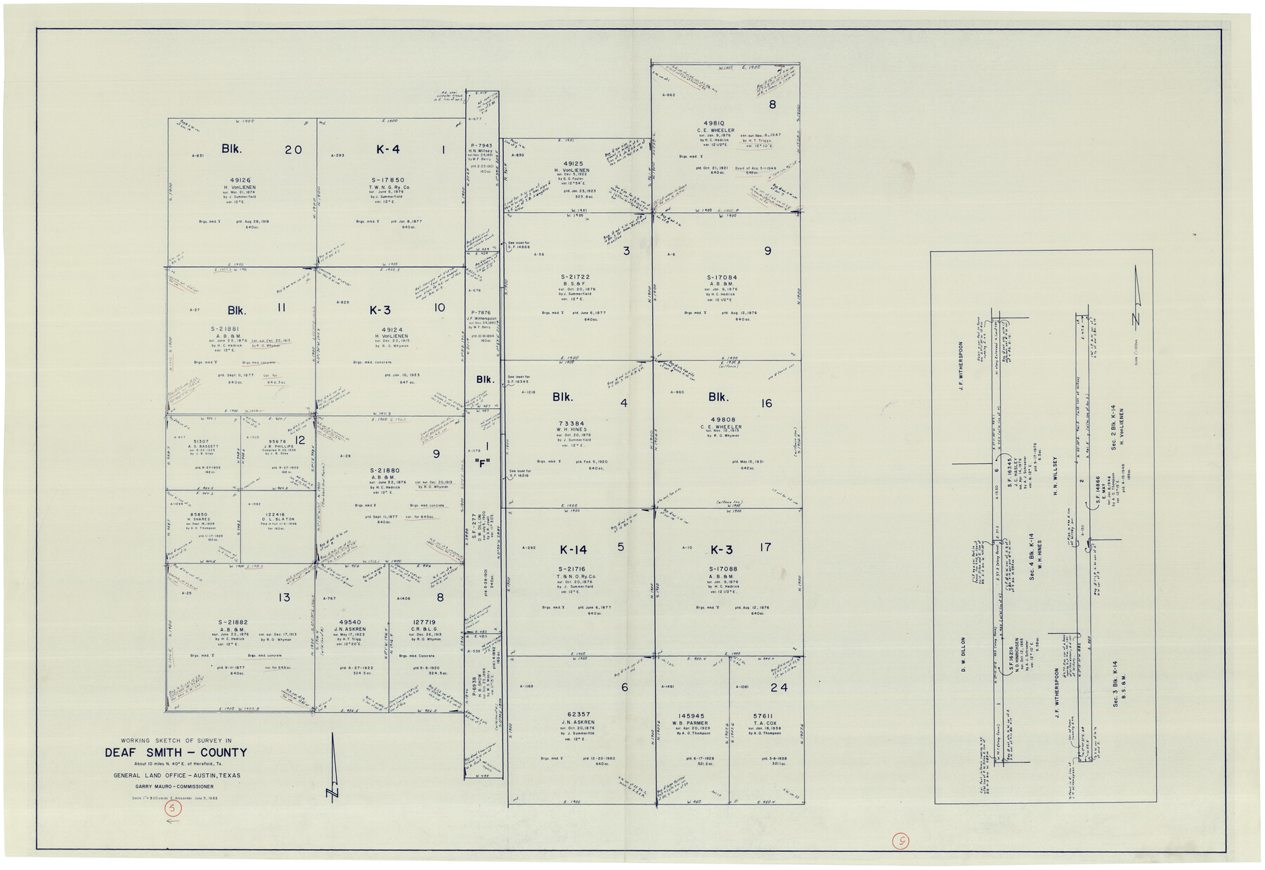
Deaf Smith County Working Sketch 5
-
Map/Doc
68645
-
Collection
General Map Collection
-
Object Dates
6/3/1983 (Creation Date)
-
People and Organizations
Earl Alexander (Draftsman)
-
Counties
Deaf Smith
-
Subjects
Surveying Working Sketch
-
Height x Width
37.0 x 53.9 inches
94.0 x 136.9 cm
-
Scale
1" = 300 varas
Part of: General Map Collection
Bowie County Sketch File 7e

Print $10.00
- Digital $50.00
Bowie County Sketch File 7e
1927
Size 10.5 x 8.4 inches
Map/Doc 14867

Live Oak County Sketch File 22

Print $20.00
- Digital $50.00
Live Oak County Sketch File 22
Size 17.4 x 9.7 inches
Map/Doc 30299

Cameron County Working Sketch Graphic Index

Print $20.00
- Digital $50.00
Cameron County Working Sketch Graphic Index
1976
Size 32.0 x 39.4 inches
Map/Doc 76486
Clay County Sketch File 38a

Print $6.00
- Digital $50.00
Clay County Sketch File 38a
1939
Size 14.3 x 8.8 inches
Map/Doc 18469
Flight Mission No. CRK-5P, Frame 162, Refugio County

Print $20.00
- Digital $50.00
Flight Mission No. CRK-5P, Frame 162, Refugio County
1956
Size 18.5 x 22.3 inches
Map/Doc 86943

Presidio County Rolled Sketch 131A

Print $3.00
- Digital $50.00
Presidio County Rolled Sketch 131A
Size 14.5 x 9.1 inches
Map/Doc 10709
Presidio County Rolled Sketch 98

Print $20.00
- Digital $50.00
Presidio County Rolled Sketch 98
Size 22.5 x 24.5 inches
Map/Doc 7381
Natural Heritage of Texas

Print $40.00
- Digital $50.00
Natural Heritage of Texas
1986
Size 54.3 x 56.0 inches
Map/Doc 10786
Kent County Working Sketch 4

Print $20.00
- Digital $50.00
Kent County Working Sketch 4
1948
Size 27.9 x 25.8 inches
Map/Doc 70011
You may also like
Anderson County Sketch File 16b

Print $2.00
- Digital $50.00
Anderson County Sketch File 16b
1859
Size 7.2 x 2.9 inches
Map/Doc 12788
Kimble County Working Sketch 59

Print $20.00
- Digital $50.00
Kimble County Working Sketch 59
1963
Size 24.6 x 40.8 inches
Map/Doc 70127
Flight Mission No. DIX-3P, Frame 166, Aransas County

Print $20.00
- Digital $50.00
Flight Mission No. DIX-3P, Frame 166, Aransas County
1956
Size 17.8 x 18.7 inches
Map/Doc 83772
Polk County Sketch File 29

Print $4.00
- Digital $50.00
Polk County Sketch File 29
Size 8.8 x 12.6 inches
Map/Doc 34200
Dawson County Rolled Sketch 9

Print $20.00
- Digital $50.00
Dawson County Rolled Sketch 9
1953
Size 36.6 x 45.7 inches
Map/Doc 8773
Martin County Sketch File 4

Print $20.00
- Digital $50.00
Martin County Sketch File 4
Size 26.9 x 19.8 inches
Map/Doc 12027
Wise County Sketch File 52

Print $20.00
- Digital $50.00
Wise County Sketch File 52
1982
Size 14.2 x 8.6 inches
Map/Doc 40619
Scurry County Rolled Sketch 2A

Print $20.00
- Digital $50.00
Scurry County Rolled Sketch 2A
Size 25.6 x 24.2 inches
Map/Doc 7764
Tom Green County Working Sketch 9

Print $20.00
- Digital $50.00
Tom Green County Working Sketch 9
1951
Size 31.3 x 42.2 inches
Map/Doc 69378
[Blocks M8, M9, M11, W1, RC, M13, M15 and A]
![91928, [Blocks M8, M9, M11, W1, RC, M13, M15 and A], Twichell Survey Records](https://historictexasmaps.com/wmedia_w700/maps/91928-1.tif.jpg)
Print $20.00
- Digital $50.00
[Blocks M8, M9, M11, W1, RC, M13, M15 and A]
Size 17.1 x 34.2 inches
Map/Doc 91928
[Panhandle Counties]
![89923, [Panhandle Counties], Twichell Survey Records](https://historictexasmaps.com/wmedia_w700/maps/89923-1.tif.jpg)
Print $20.00
- Digital $50.00
[Panhandle Counties]
1930
Size 42.3 x 42.8 inches
Map/Doc 89923
General Highway Map, Travis County, Texas

Print $20.00
General Highway Map, Travis County, Texas
1961
Size 18.2 x 24.7 inches
Map/Doc 79680