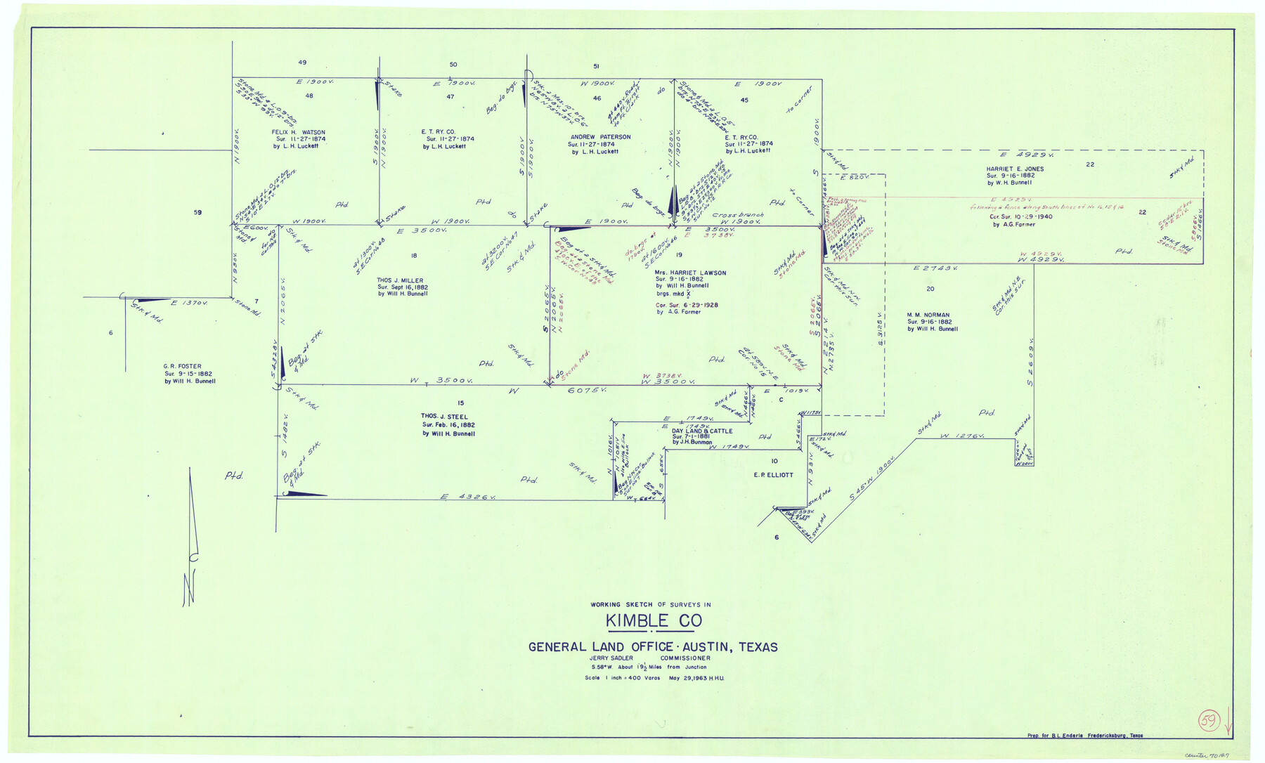
Kimble County Working Sketch 59
-
Map/Doc
70127
-
Collection
General Map Collection
-
Object Dates
5/29/1963 (Creation Date)
-
People and Organizations
Herbert H. Ulbricht (Draftsman)
-
Counties
Kimble
-
Subjects
Surveying Working Sketch
-
Height x Width
24.6 x 40.8 inches
62.5 x 103.6 cm
-
Scale
1" = 400 varas
Part of: General Map Collection
Kleberg County Rolled Sketch 10-27

Print $20.00
- Digital $50.00
Kleberg County Rolled Sketch 10-27
1952
Size 37.9 x 40.1 inches
Map/Doc 9402
Outer Continental Shelf Leasing Map, Texas

Print $20.00
- Digital $50.00
Outer Continental Shelf Leasing Map, Texas
1954
Size 17.3 x 22.2 inches
Map/Doc 75832
Grimes County Working Sketch 18

Print $20.00
- Digital $50.00
Grimes County Working Sketch 18
1990
Size 33.1 x 42.5 inches
Map/Doc 63309
Flight Mission No. DQN-5K, Frame 45, Calhoun County

Print $20.00
- Digital $50.00
Flight Mission No. DQN-5K, Frame 45, Calhoun County
1953
Size 18.4 x 22.1 inches
Map/Doc 84390
Reagan County Working Sketch 46a

Print $20.00
- Digital $50.00
Reagan County Working Sketch 46a
1970
Size 34.5 x 30.4 inches
Map/Doc 71888
Austin County Working Sketch 8

Print $20.00
- Digital $50.00
Austin County Working Sketch 8
1992
Size 28.7 x 31.6 inches
Map/Doc 67249
Cooke County Sketch File 25

Print $4.00
- Digital $50.00
Cooke County Sketch File 25
1872
Size 8.2 x 6.8 inches
Map/Doc 19275
Maps of Gulf Intracoastal Waterway, Texas - Sabine River to the Rio Grande and connecting waterways including ship channels

Print $20.00
- Digital $50.00
Maps of Gulf Intracoastal Waterway, Texas - Sabine River to the Rio Grande and connecting waterways including ship channels
1966
Size 14.6 x 22.2 inches
Map/Doc 61975
Jack County Working Sketch Graphic Index

Print $20.00
- Digital $50.00
Jack County Working Sketch Graphic Index
1925
Size 45.4 x 37.3 inches
Map/Doc 76589
Duval County Sketch File 30

Print $20.00
- Digital $50.00
Duval County Sketch File 30
1932
Size 14.7 x 23.7 inches
Map/Doc 11388
Flight Mission No. DQN-6K, Frame 9, Calhoun County

Print $20.00
- Digital $50.00
Flight Mission No. DQN-6K, Frame 9, Calhoun County
1953
Size 18.5 x 22.1 inches
Map/Doc 84431
[Surveys along the San Marcos River]
![158, [Surveys along the San Marcos River], General Map Collection](https://historictexasmaps.com/wmedia_w700/maps/158.tif.jpg)
Print $2.00
- Digital $50.00
[Surveys along the San Marcos River]
Size 7.7 x 5.8 inches
Map/Doc 158
You may also like
[Sketch in Crosby County]
![89759, [Sketch in Crosby County], Twichell Survey Records](https://historictexasmaps.com/wmedia_w700/maps/89759-1.tif.jpg)
Print $40.00
- Digital $50.00
[Sketch in Crosby County]
Size 54.6 x 46.5 inches
Map/Doc 89759
Cherokee County Sketch File 32

Print $20.00
- Digital $50.00
Cherokee County Sketch File 32
Size 45.2 x 30.0 inches
Map/Doc 10334
Terrell County Sketch File 24

Print $20.00
- Digital $50.00
Terrell County Sketch File 24
1932
Size 22.0 x 41.8 inches
Map/Doc 10387
Orange County Sketch File 35

Print $22.00
- Digital $50.00
Orange County Sketch File 35
1929
Size 11.2 x 8.5 inches
Map/Doc 33363

Clay County Working Sketch 4

Print $20.00
- Digital $50.00
Clay County Working Sketch 4
1923
Size 14.7 x 21.9 inches
Map/Doc 68027
Flight Mission No. BQR-16K, Frame 32, Brazoria County

Print $20.00
- Digital $50.00
Flight Mission No. BQR-16K, Frame 32, Brazoria County
1952
Size 18.5 x 22.2 inches
Map/Doc 84099
Matagorda County NRC Article 33.136 Sketch 21

Print $42.00
Matagorda County NRC Article 33.136 Sketch 21
2025
Map/Doc 97429
Houston County Sketch File 5

Print $4.00
- Digital $50.00
Houston County Sketch File 5
1860
Size 8.5 x 12.7 inches
Map/Doc 26757
General Highway Map, San Saba County, Texas

Print $20.00
General Highway Map, San Saba County, Texas
1961
Size 18.3 x 24.5 inches
Map/Doc 79648
Eastland County Sketch File 12

Print $10.00
- Digital $50.00
Eastland County Sketch File 12
1879
Size 9.3 x 8.4 inches
Map/Doc 21588
Kleberg County

Print $20.00
- Digital $50.00
Kleberg County
1913
Size 27.0 x 33.9 inches
Map/Doc 95560