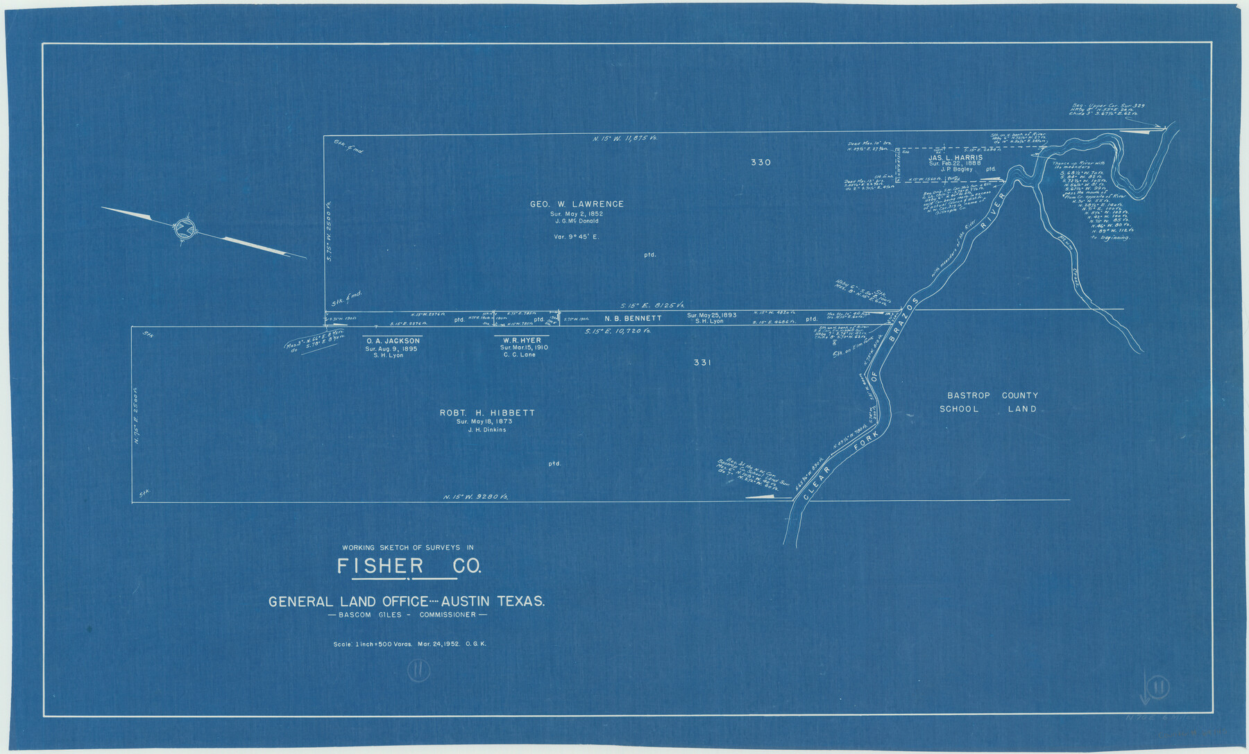
Fisher County Working Sketch 11
-
Map/Doc
69145
-
Collection
General Map Collection
-
Object Dates
3/24/1952 (Creation Date)
-
People and Organizations
Otto G. Kurio (Draftsman)
-
Counties
Fisher
-
Subjects
Surveying Working Sketch
-
Height x Width
21.2 x 35.1 inches
53.9 x 89.2 cm
-
Scale
1" = 500 varas
Part of: General Map Collection
Reagan County Rolled Sketch 24

Print $26.00
- Digital $50.00
Reagan County Rolled Sketch 24
Size 44.0 x 39.9 inches
Map/Doc 9819

Dickens County Sketch File 36

Print $4.00
- Digital $50.00
Dickens County Sketch File 36
1891
Size 11.3 x 9.1 inches
Map/Doc 21042
Chambers County Sketch File 47

Print $211.00
- Digital $50.00
Chambers County Sketch File 47
1927
Size 14.3 x 9.0 inches
Map/Doc 17899
Colton's Map of the United States of America

Print $20.00
- Digital $50.00
Colton's Map of the United States of America
1866
Size 21.3 x 36.7 inches
Map/Doc 93642
Current Miscellaneous File 102

Print $611.00
- Digital $50.00
Current Miscellaneous File 102
Size 11.5 x 7.1 inches
Map/Doc 74379
The World on an Equatorial Projection, Map of the Eastern and Western Hemispheres / The World on a Polar Projection, Map of the Northern and Southern Hemispheres / Inset: Map of the most recent Antarctic Discoveries

Print $20.00
- Digital $50.00
The World on an Equatorial Projection, Map of the Eastern and Western Hemispheres / The World on a Polar Projection, Map of the Northern and Southern Hemispheres / Inset: Map of the most recent Antarctic Discoveries
1839
Size 11.8 x 9.5 inches
Map/Doc 93492
Presidio County Working Sketch 121b

Print $20.00
- Digital $50.00
Presidio County Working Sketch 121b
1984
Size 36.0 x 41.5 inches
Map/Doc 71799
Gaines County Working Sketch 33

Print $40.00
- Digital $50.00
Gaines County Working Sketch 33
1990
Size 50.3 x 36.0 inches
Map/Doc 69333
Kendall County Working Sketch 27

Print $20.00
- Digital $50.00
Kendall County Working Sketch 27
1994
Size 25.0 x 37.5 inches
Map/Doc 66700
Brewster County Sketch File NS-4f

Print $8.00
- Digital $50.00
Brewster County Sketch File NS-4f
Size 8.9 x 11.3 inches
Map/Doc 15977
Jeff Davis County Boundary File 1a

Print $8.00
- Digital $50.00
Jeff Davis County Boundary File 1a
Size 14.3 x 8.8 inches
Map/Doc 55501
You may also like
[State Capitol Lands and various county School Land Leagues]
![90508, [State Capitol Lands and various county School Land Leagues], Twichell Survey Records](https://historictexasmaps.com/wmedia_w700/maps/90508-1.tif.jpg)
Print $2.00
- Digital $50.00
[State Capitol Lands and various county School Land Leagues]
1903
Size 8.3 x 10.1 inches
Map/Doc 90508
Carte du Texas par M. Maris

Print $20.00
- Digital $50.00
Carte du Texas par M. Maris
1846
Size 19.3 x 17.2 inches
Map/Doc 2119
[Sketch of PSL Blocks A20, A35, A44, A45]
![89739, [Sketch of PSL Blocks A20, A35, A44, A45], Twichell Survey Records](https://historictexasmaps.com/wmedia_w700/maps/89739-1.tif.jpg)
Print $40.00
- Digital $50.00
[Sketch of PSL Blocks A20, A35, A44, A45]
Size 22.7 x 66.9 inches
Map/Doc 89739
Austin County Working Sketch Graphic Index

Print $20.00
- Digital $50.00
Austin County Working Sketch Graphic Index
1943
Size 38.6 x 41.1 inches
Map/Doc 76459
Tom Green County Sketch File 74

Print $6.00
- Digital $50.00
Tom Green County Sketch File 74
1950
Size 11.3 x 8.9 inches
Map/Doc 38250
Jackson County Working Sketch 9

Print $20.00
- Digital $50.00
Jackson County Working Sketch 9
1982
Size 13.3 x 31.4 inches
Map/Doc 66457
Ward County Working Sketch 9

Print $20.00
- Digital $50.00
Ward County Working Sketch 9
1946
Size 32.9 x 19.2 inches
Map/Doc 72315
Galveston County Sketch File 10

Print $4.00
- Digital $50.00
Galveston County Sketch File 10
1869
Size 12.8 x 8.0 inches
Map/Doc 23372
Power and Hewetson Empresario Colony. June 11, 1828

Print $20.00
Power and Hewetson Empresario Colony. June 11, 1828
2020
Size 17.5 x 21.7 inches
Map/Doc 96003
Schleicher County Sketch File 41

Print $6.00
- Digital $50.00
Schleicher County Sketch File 41
1963
Size 16.2 x 9.9 inches
Map/Doc 36544
Williamson County Sketch File 32

Print $6.00
- Digital $50.00
Williamson County Sketch File 32
1986
Size 11.3 x 8.5 inches
Map/Doc 40393
[Right of Way Map, Belton Branch of the M.K.&T. RR.]
![64224, [Right of Way Map, Belton Branch of the M.K.&T. RR.], General Map Collection](https://historictexasmaps.com/wmedia_w700/maps/64224.tif.jpg)
Print $20.00
- Digital $50.00
[Right of Way Map, Belton Branch of the M.K.&T. RR.]
1896
Size 7.1 x 20.6 inches
Map/Doc 64224